
-
 2565 Hits
-
 72.08% Score
-
 2 Votes
|
|
Route |
|---|---|
|
|
45.76930°N / 7.23970°E |
|
|
Path |
|
|
A long day |
|
|
Easy walk |
|
|
Approach
Drive till Buthier, go on along the road, and park at the beginning of the two tracks forbidden to the cars, m. 1540.
Route Description
Walk a few hundreds meters along the track on your left, at the first cross, after the Mendey farm, bring the track number at your right, and immediately leave the track and bring a path (yellow sign 3a) on your left; this path is not steep, and cross a few times the truck, till the Chaligne farm, m. 1935 (water - 1 hour)
Follow again a path in the bush (yellow number 2), and you will arrive in a very wide grassland, around the Tza de Chaligne farm (m. 2225- 2 hours, last water)
Follow again the path till the Met Pass, and from the pass, turn left to the top (3 hours).
You can come back along the same way, or it's possible to follow the north ridge till the Tardiva Pass, and from there, back to the Tza the Chaligne farm (path 3, and after, 3b, yellow signs)
 |  |  |  |  |
Essential Gear
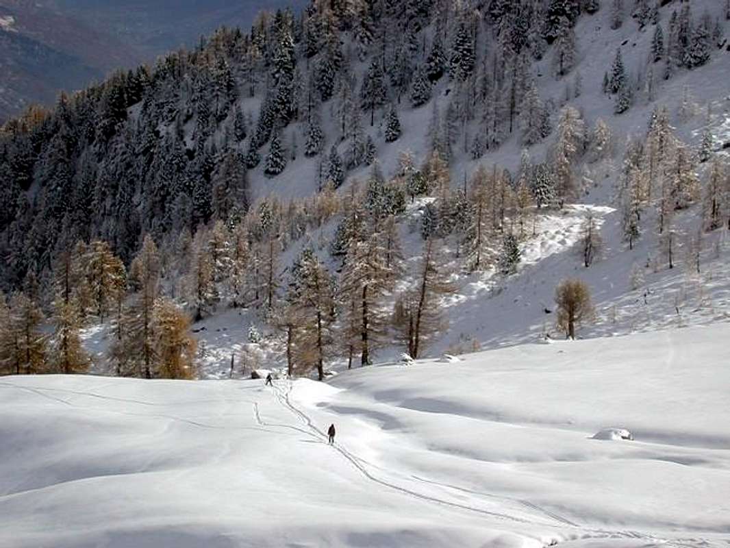
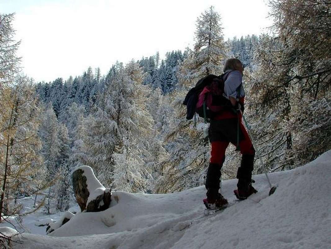
Normal excursion.Ski mountanering: this route is higly recomended for ski mountanering; the slopes are fantastic, the bush quite sparse, the snow, due to the orientation to east, often powder.
Take care along the last slopes after the Met col: with the snow are quite steep. Don't come dow directly from the top along the east side: it's very dangerous.
 |  |  |
Miscellaneous Info
 |  |  |  |  |