
Comments
No comments posted yet.
|
|
Trip Report |
|---|---|
|
|
31.84573°N / 109.29106°W |
|
|
Download GPX » View Route on Map |
|
|
Oct 29, 2023 |
The 9759 ft Chiricahua Peak is the highest point in the Chiricahua Mountains of southeastern Arizona. I climbed Chiricahua Peak via Mormon Ridge Trail. I then followed the Crest Trail to the summit of Monte Vista Peak and returned to the starting point via Morse Canyon Trail. These trails took me close to the summits of Raspberry and Johnson Peaks, but those summits were forested and would have probably not given me any views, therefore, I did not think that they would be worth the bushwhack to reach their tops.
Hike Length: 14.58 miles
Total Ascent: 4236 ft
Lowest Elevation: 6150 ft
Highest Elevation: 9759 ft
Sunday October 29, 2023
Left the vacation rental house on Sunglow Ranch after 6 AM (sunrise around 6:35 AM). I only had a 7-mile drive on Turkey Creek Road to reach Mormon Ridge Trailhead. There was no place to park at the trailhead. I drove 0.2 miles more to park at a tight spot at Pole Bridge Canyon Trailhead. My planned loop hike required me to walk that road so it did not matter where I parked.
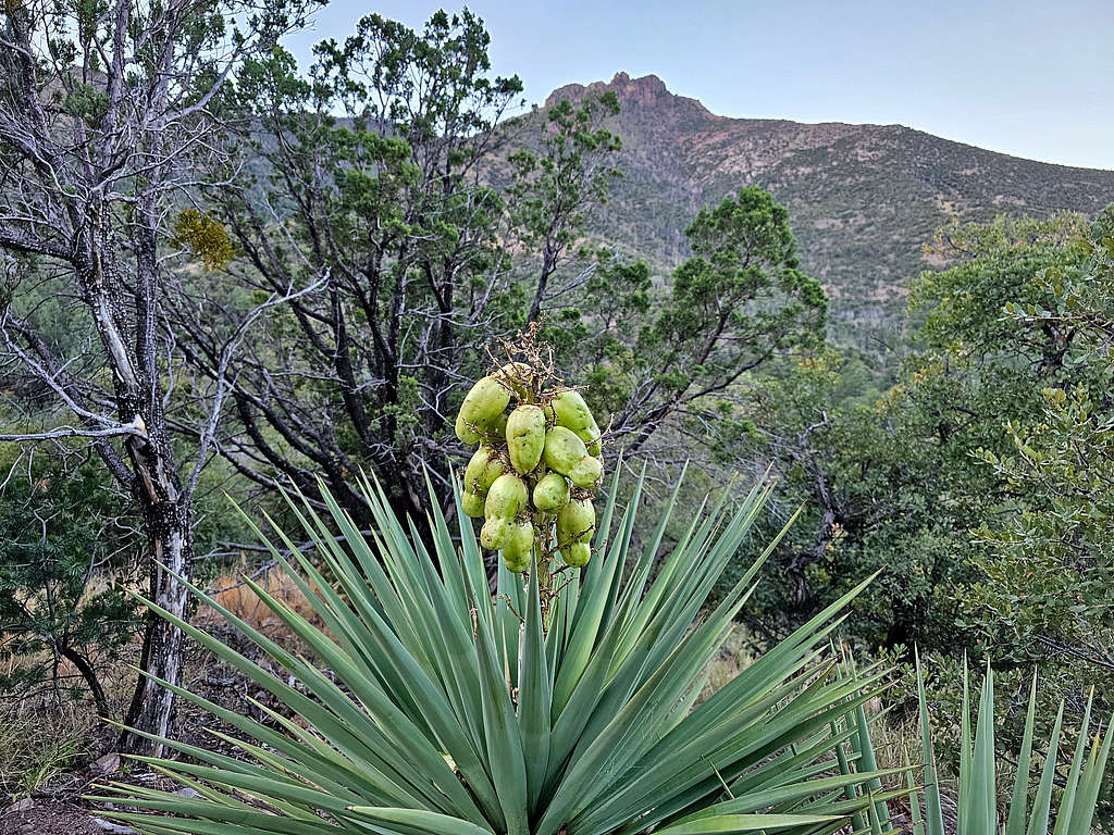
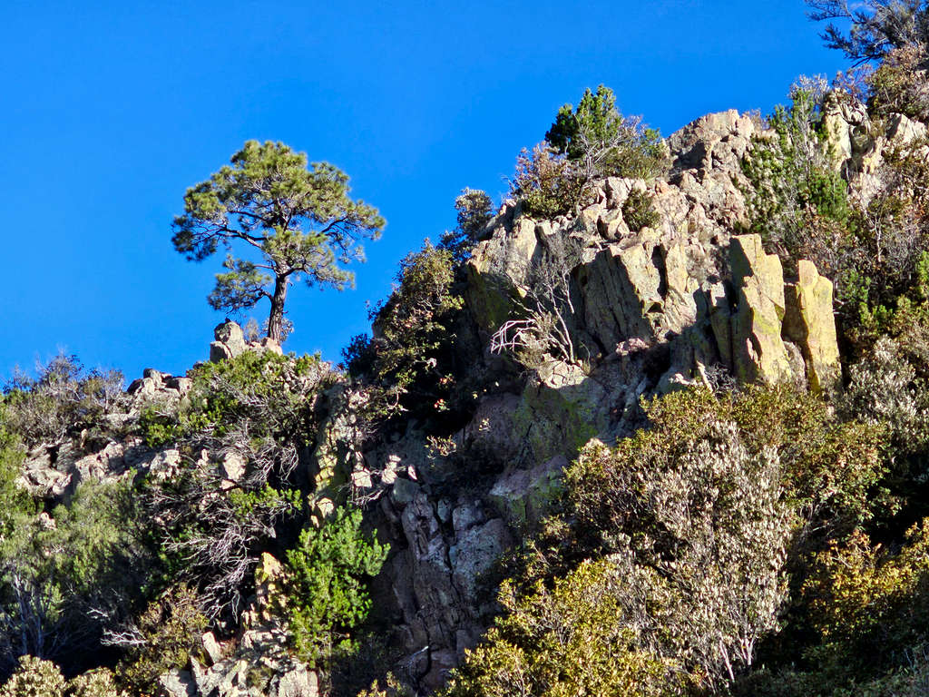
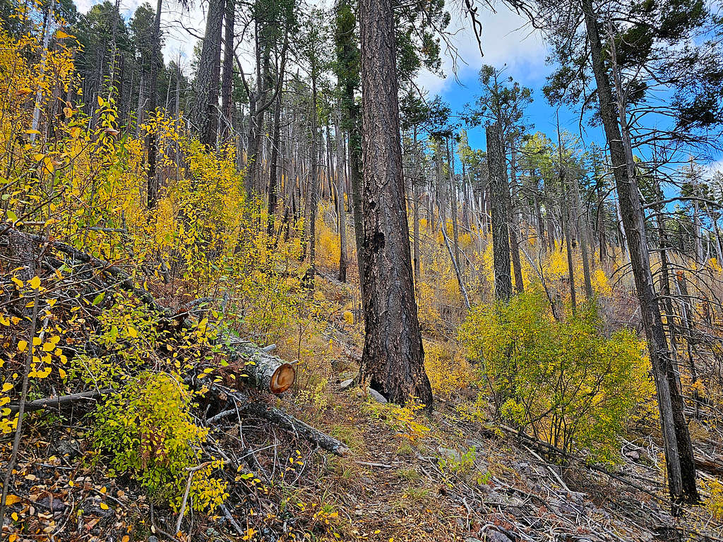
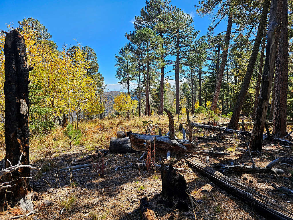
Started my hike at 6:40 AM, elevation 6200 ft. I walked back on the road 0.2 miles to reach Mormon Ridge Trailhead (6150 ft) and then began to follow the trail up in a pretty forest. While I had seen plenty of Yucca plants (or whatever the plant in this picture is), I do not ever recall having seen fruits like that.
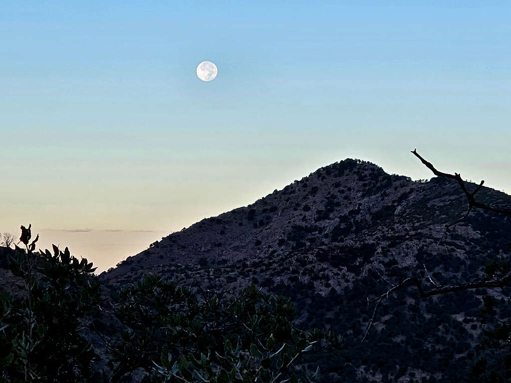
The full moon was still visible to the west.
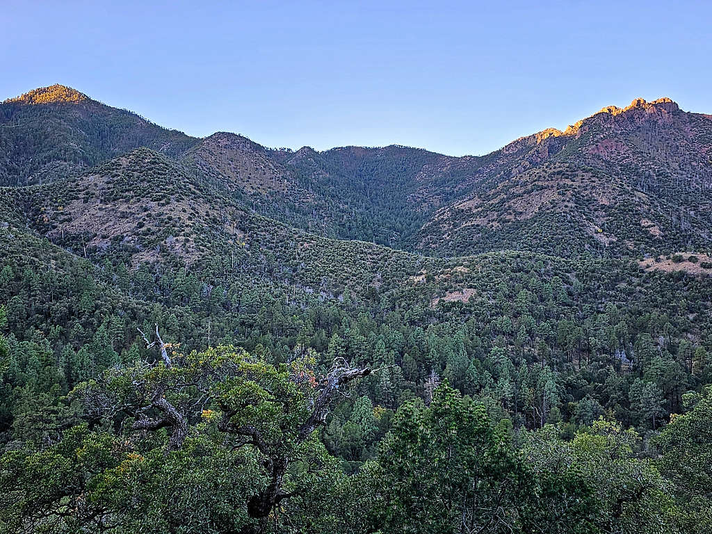
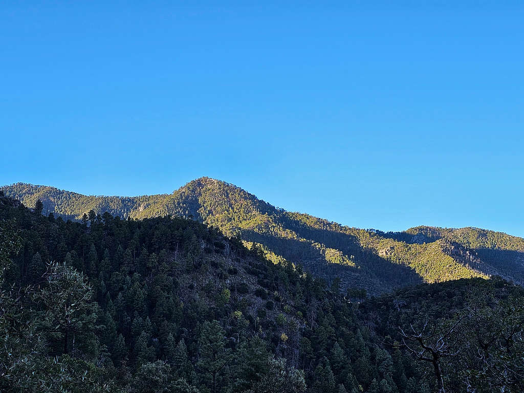
Views of Point 7927 ft and the 8890 ft Johnson Peak at sunrise.
Peak 7961 ft to the north.
The flat-top 7061 ft Rock Benchmark to the northwest.
Ward Canyon and the peaks to the north of it. The 9667 ft Flys Peak also seen.
Point 7927 ft and Mormon Canyon.
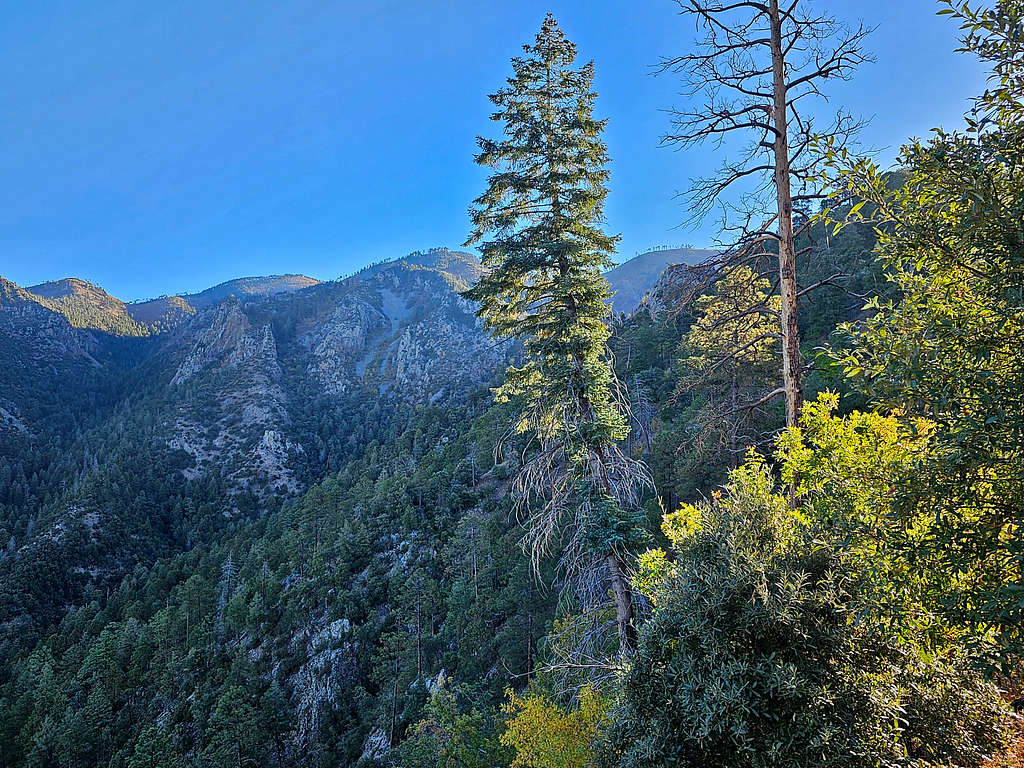
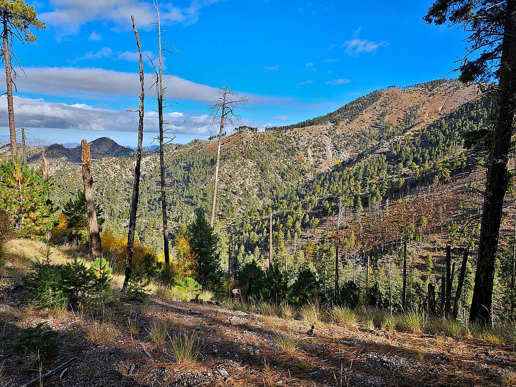
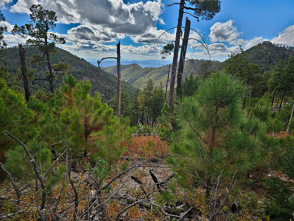
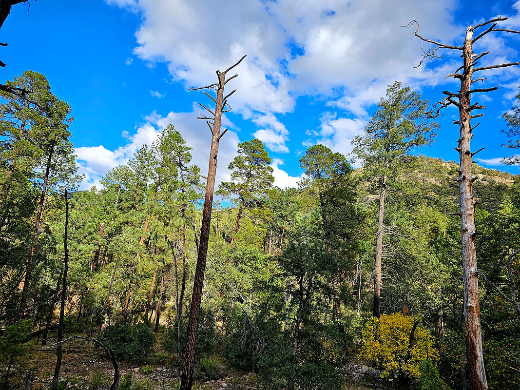
As I went higher, big pine trees began to appear.
Point 9248 ft.
South Flys Peak.
At 8760 ft elevation and 3.9 miles of hiking, I reached Mormon Saddle. I knew that I was directly below the summit of Chiricahua Peak (1000 vertical feet and 0.5 aerial miles) but I still had 1.9 miles of hiking.
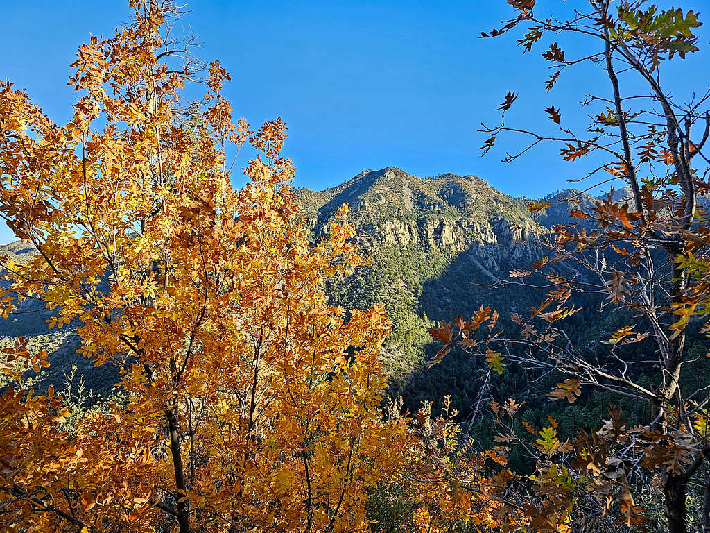
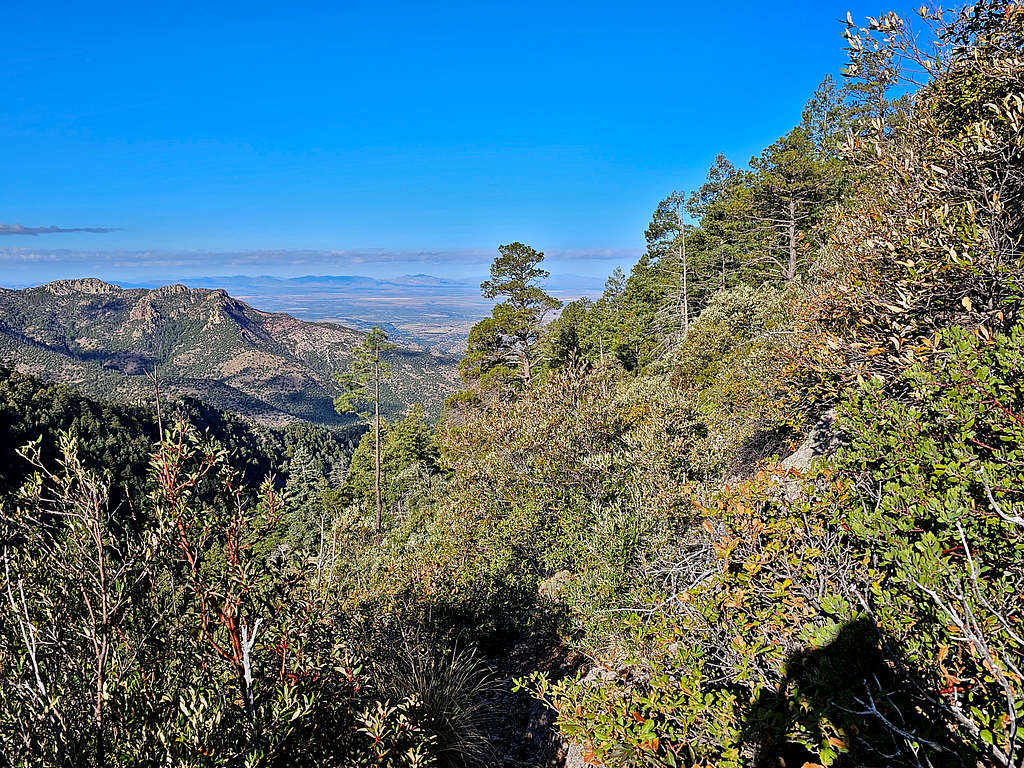
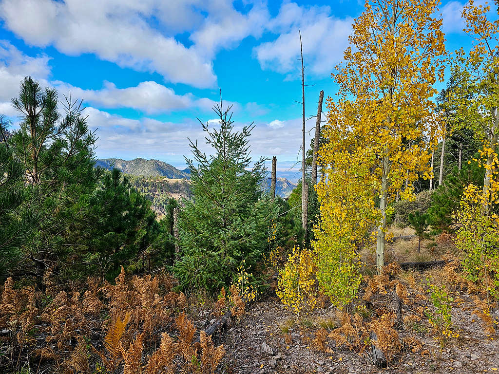
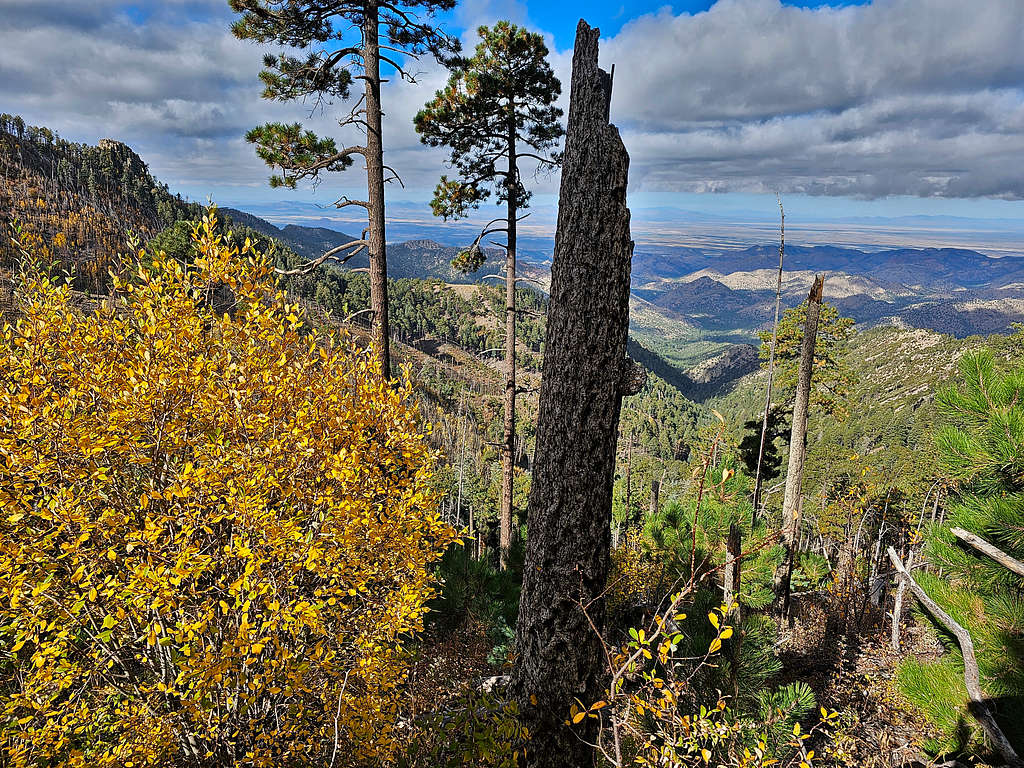
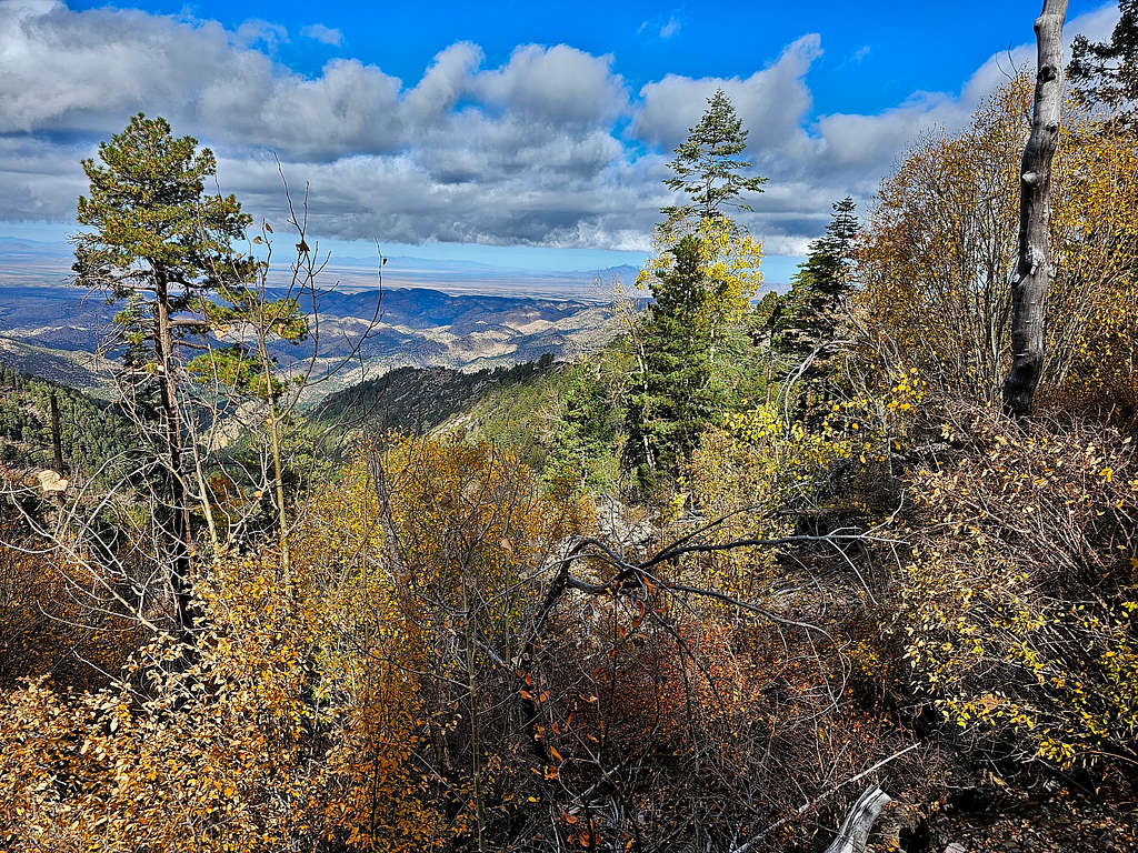
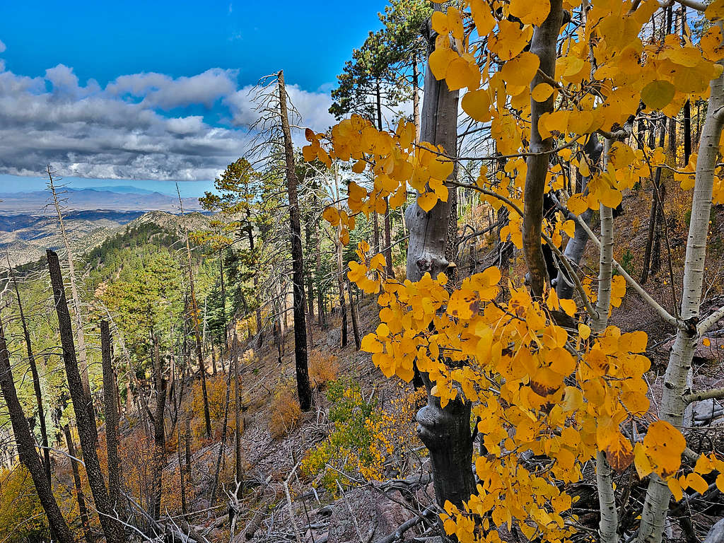
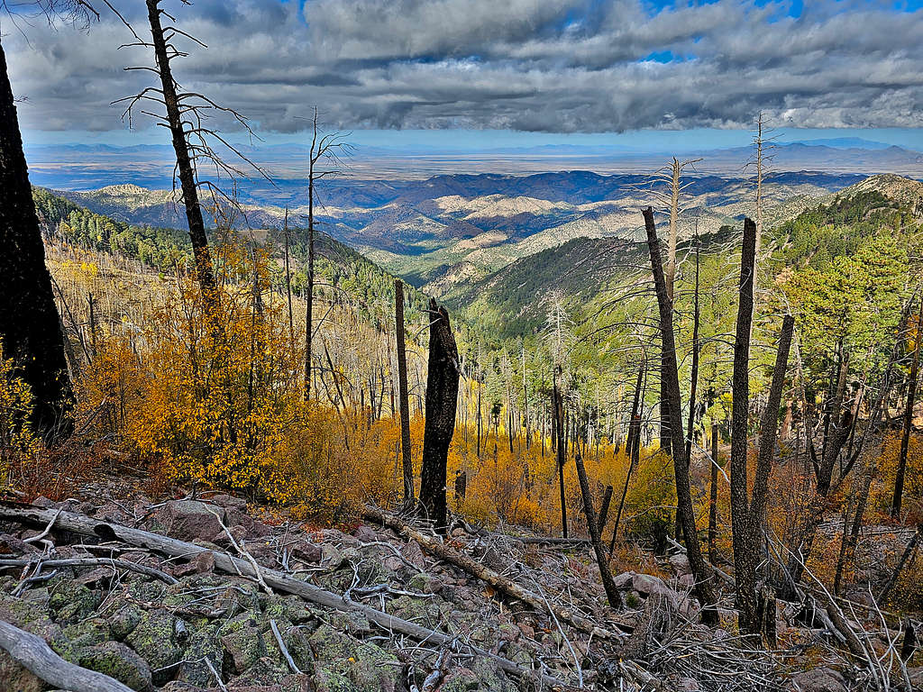
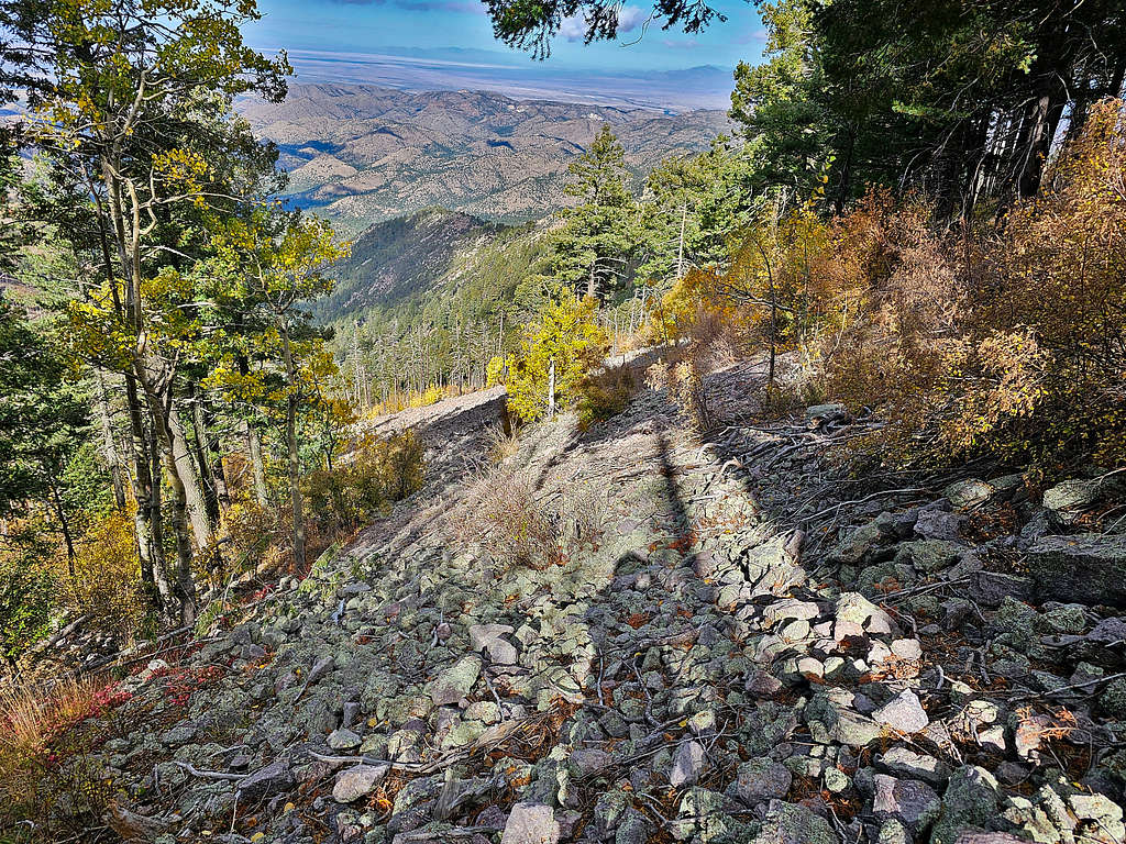
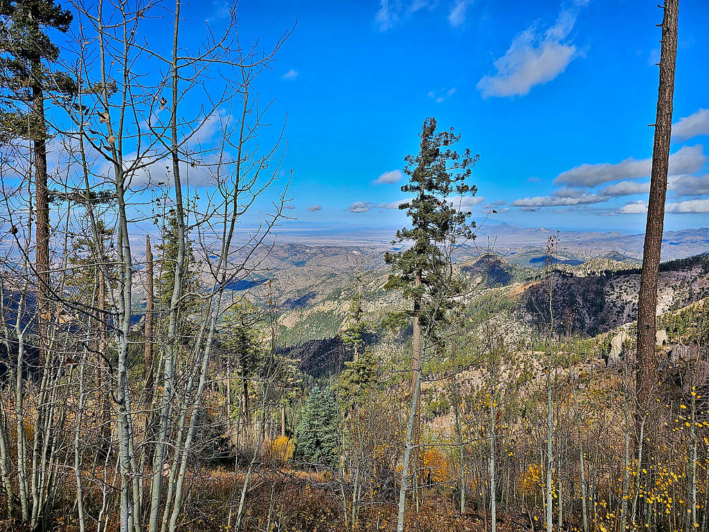
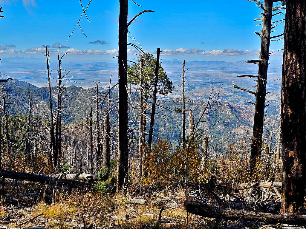
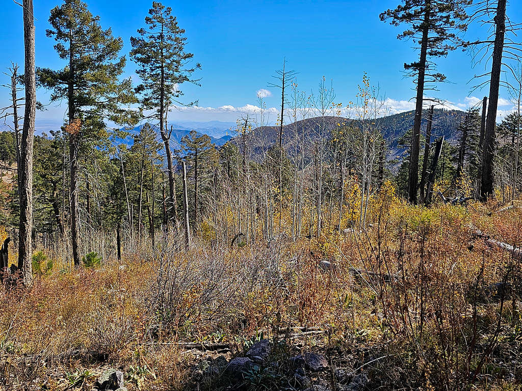
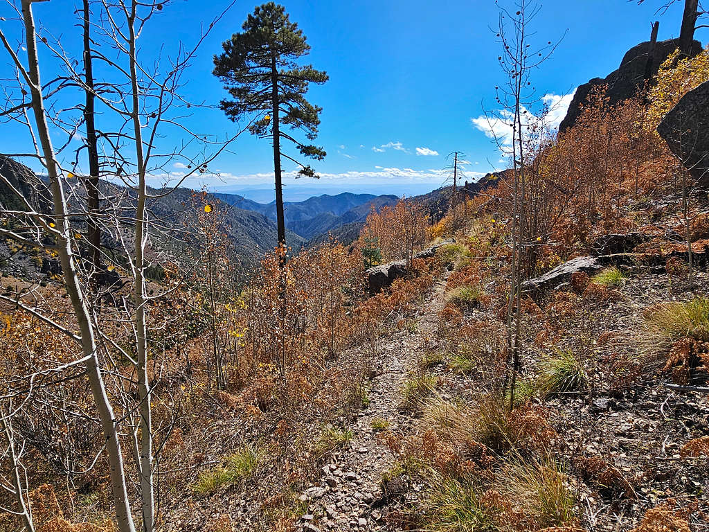
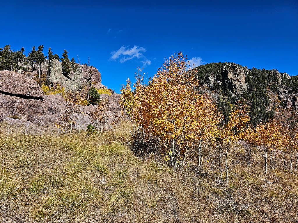
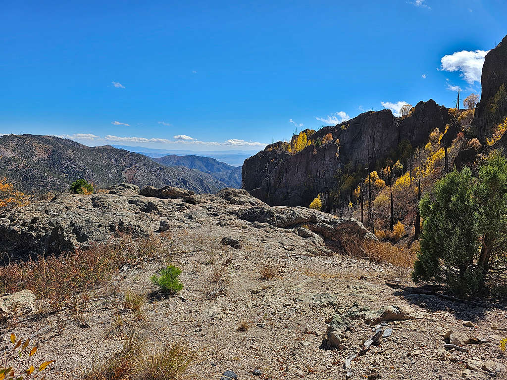
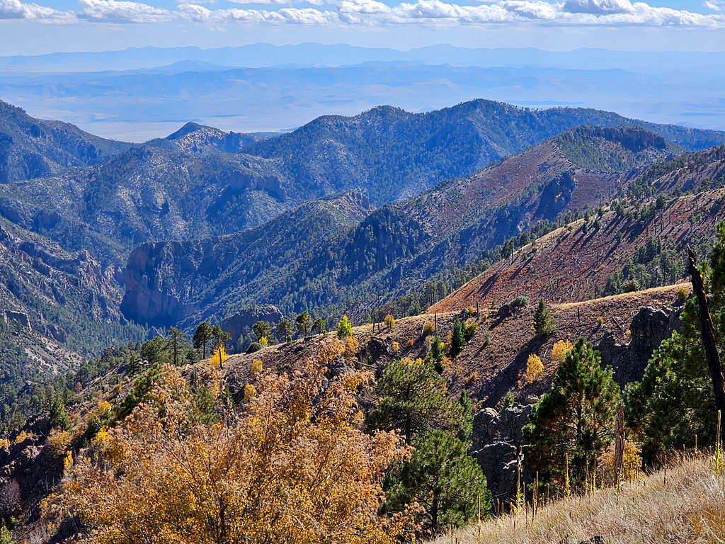
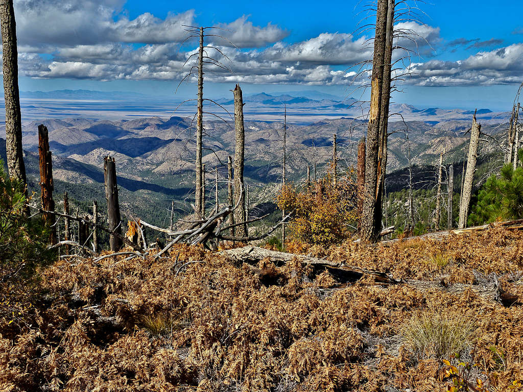
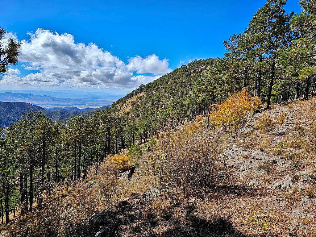
Continuing the trail, I got fantastic views of golden autumn colors and got glimpses of the far below plains to the west.
At 9:50 AM, 4.5 miles and 9160 ft, I reached Chiricahua Saddle. The trail made a switchback and continued uphill toward the summit.
I was then at another switchback where I could finally see the summit.
Zoomed view of the distant Mount Graham and the Dos Cabezas Peaks in front of it.
Reached the forested summit at 10:33 AM, 5.75 miles and 9759 ft. Trees blocked all views. I was surprised that I had not seen any other hikers. Wore my jacket and sat there to eat.
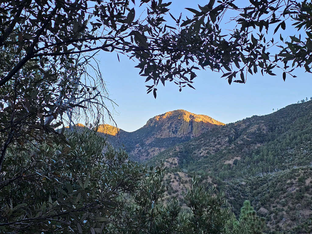
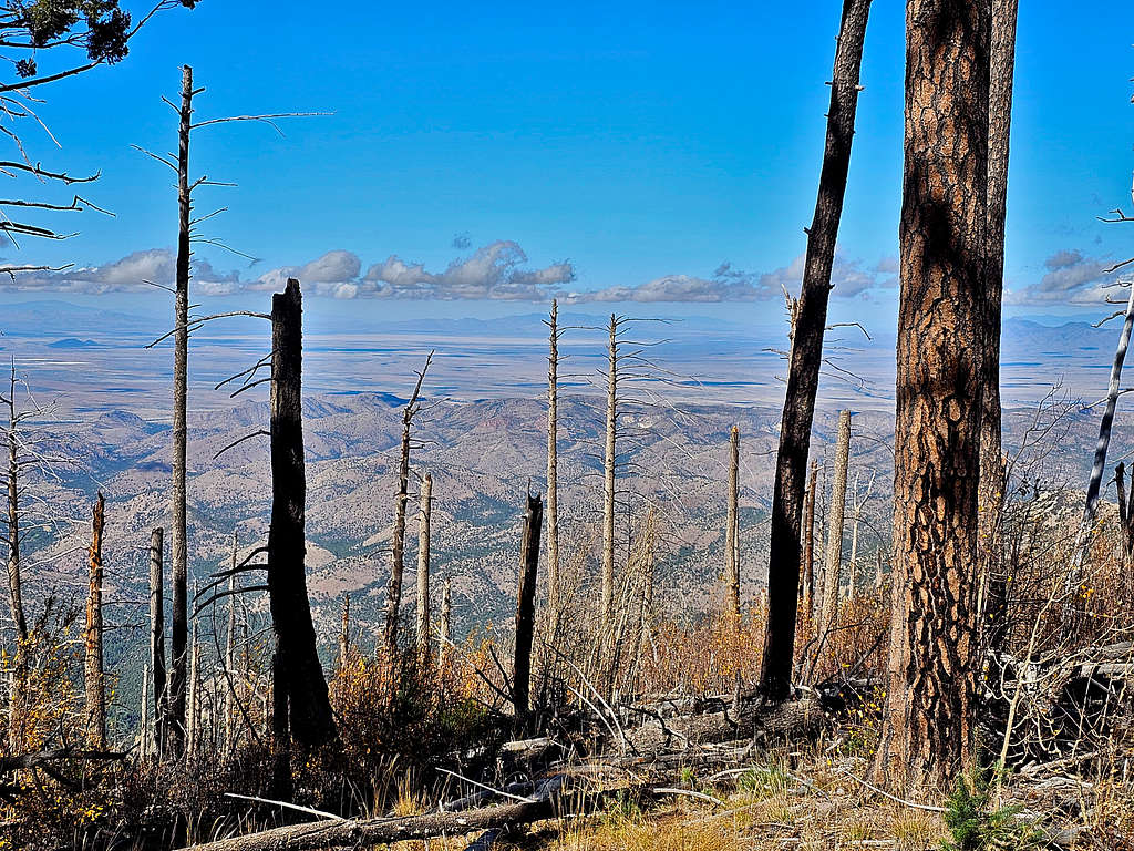
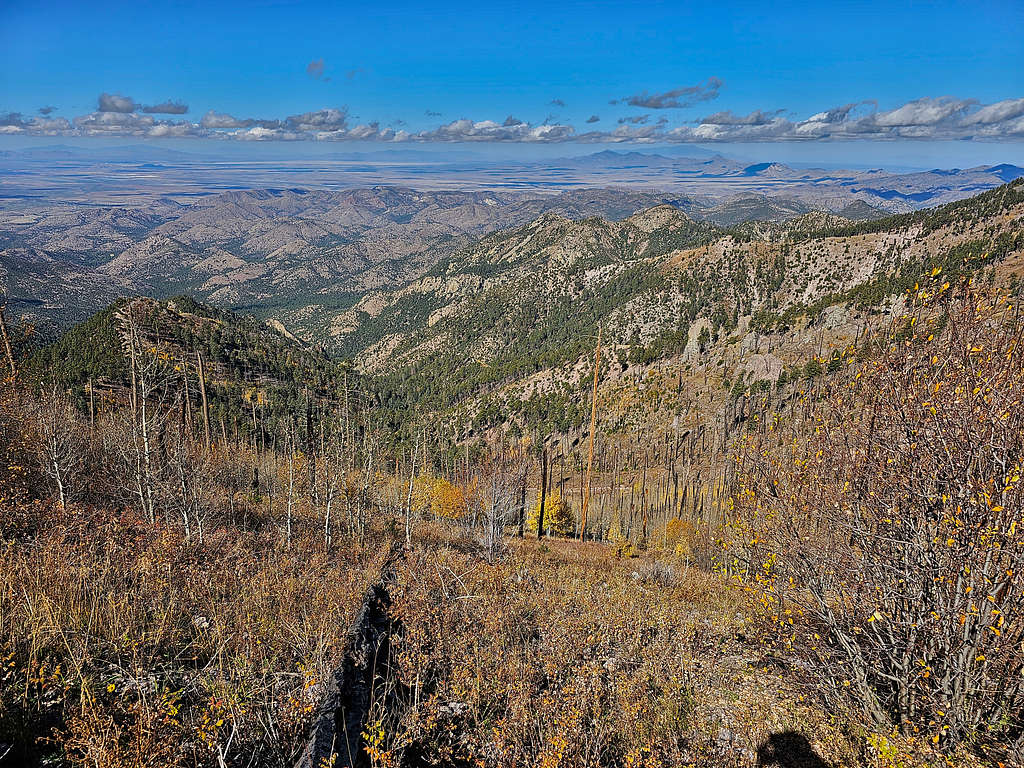
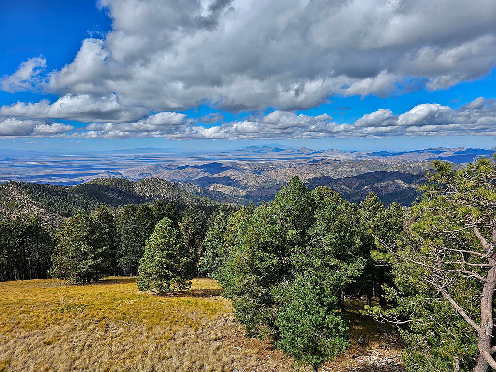
Left at 10:55 heading back toward Chiricahua Saddle. Coming up the mountain, I felt comfortable without a jacket but after resting on the summit, I had started to feel cold. Just a short distance below the summit, there was a clearing where I had good views to the west.
More views as I continued toward Chiricahua Saddle.
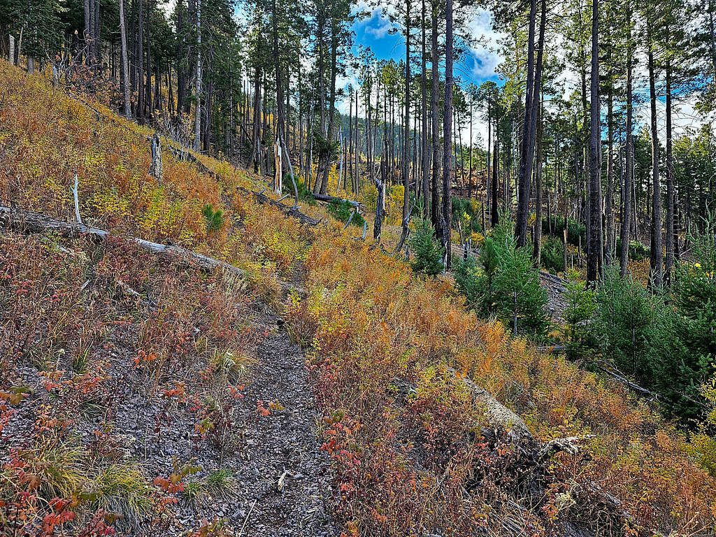
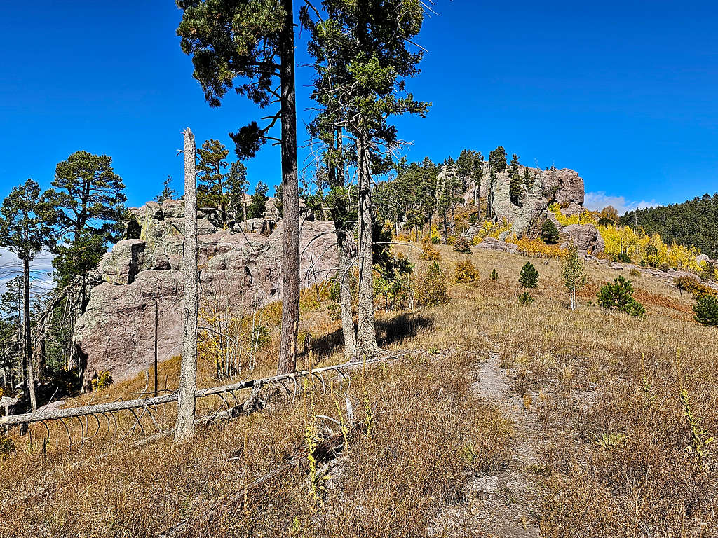
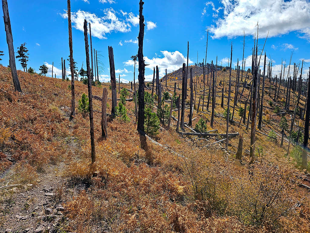
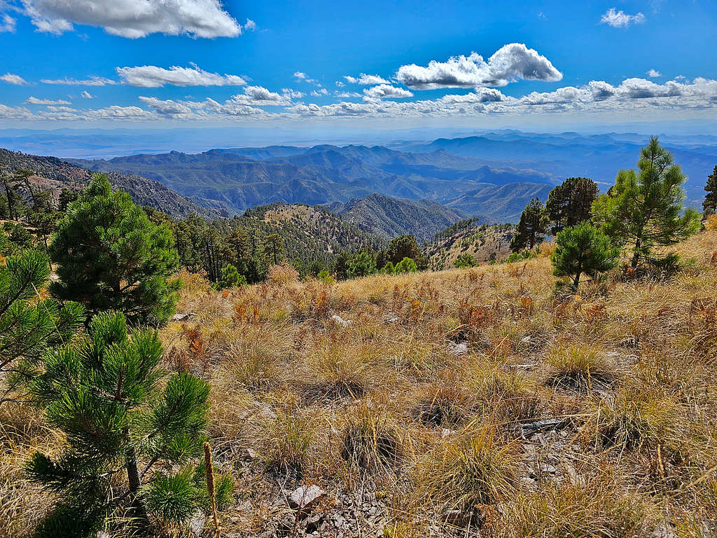
Was at the 9160 ft Chiricahua Saddle at 11:30 AM and 7.0 miles. Instead of going back the way I had come, I headed south on Raspberry Ridge Trail which followed the crest of the mountains toward Monte Vista Peak. The trail did some ups and downs but did not go below 9000 ft elevation.
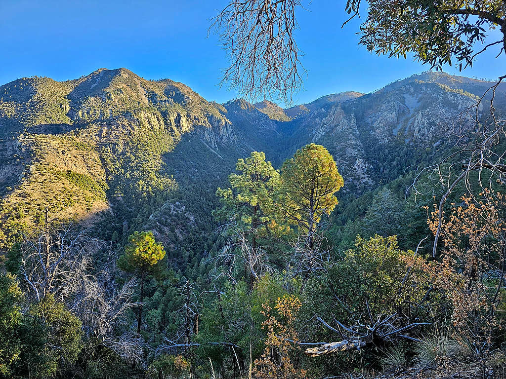
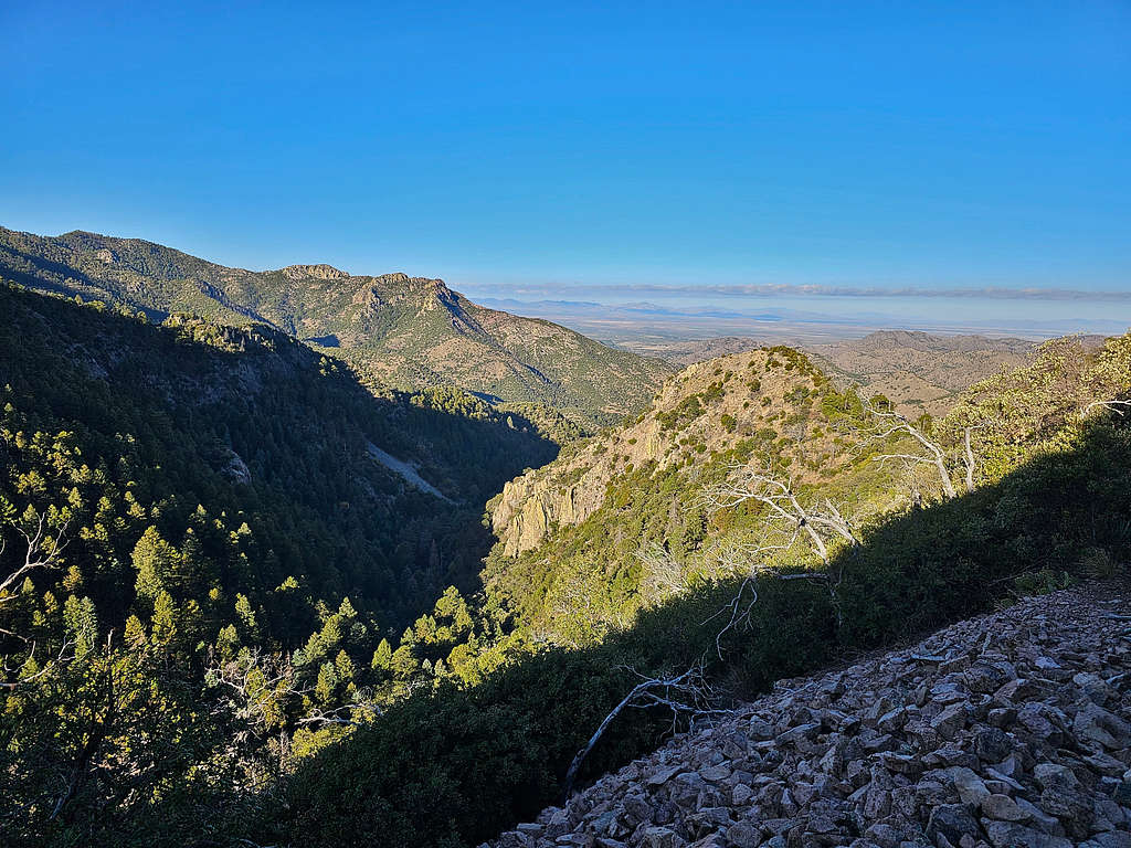
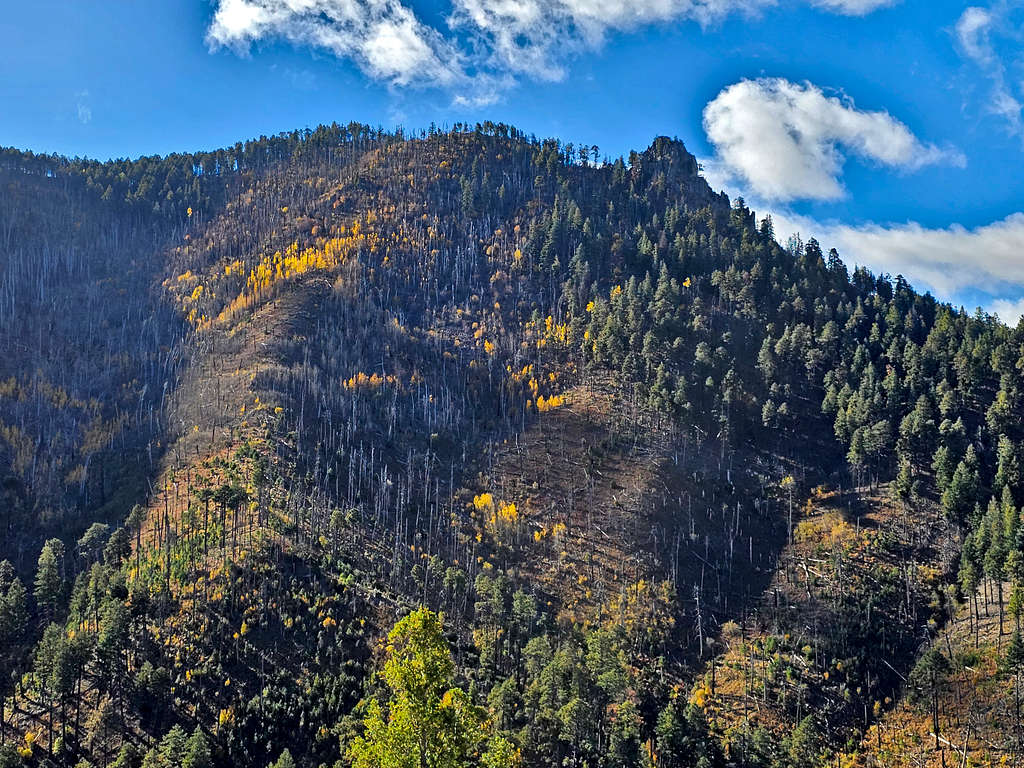
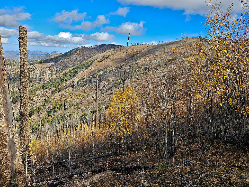
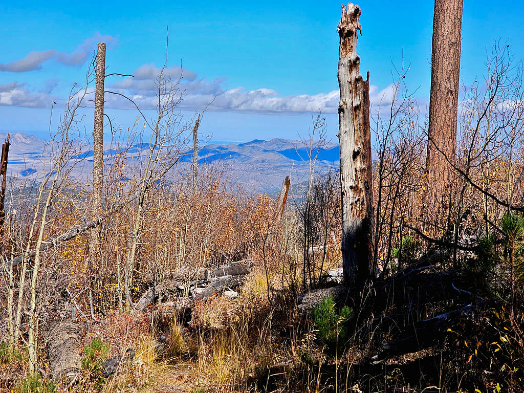
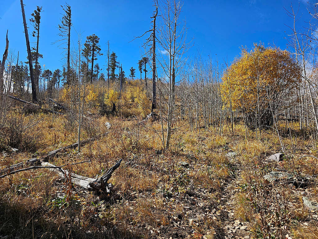
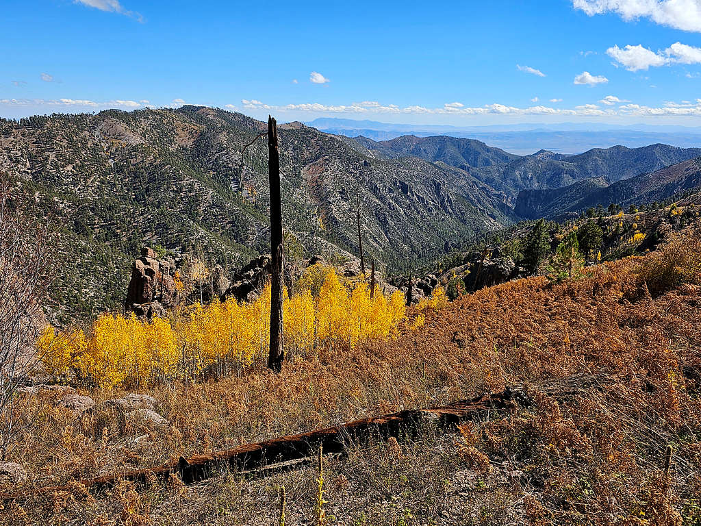
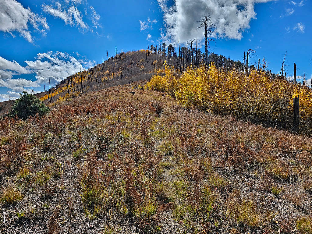
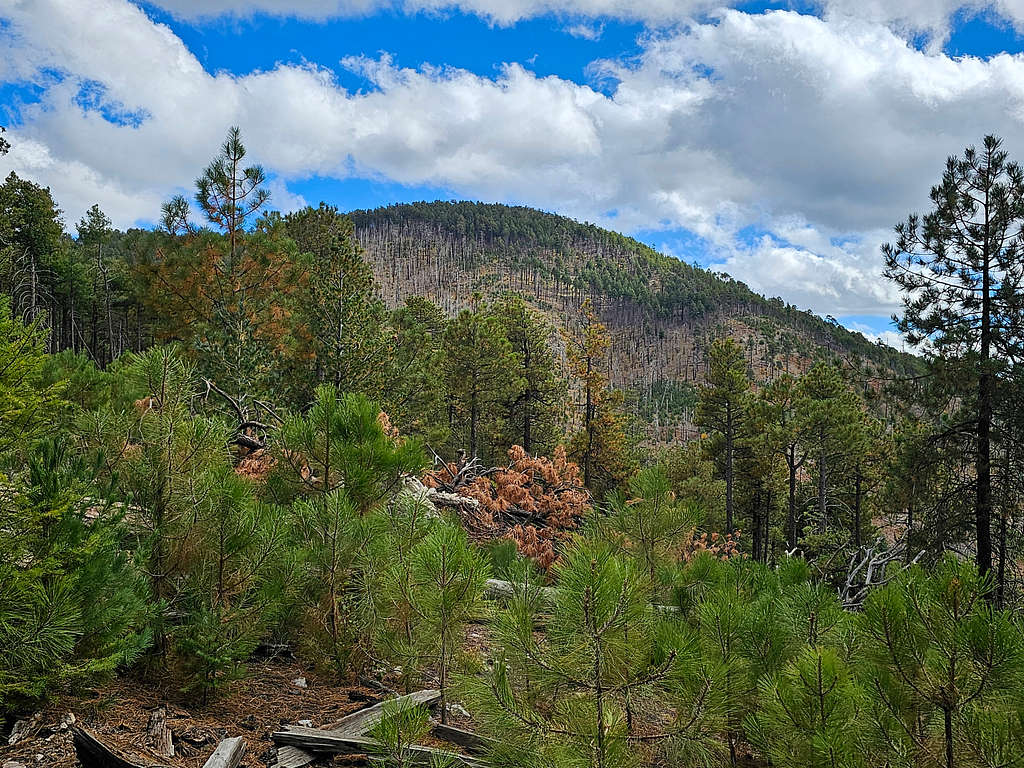
Exiting the forest, I got great views of the southwestern slopes of Chiricahua Peak. I was no longer feeling cold.
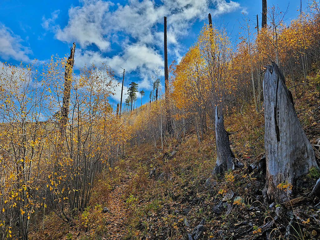
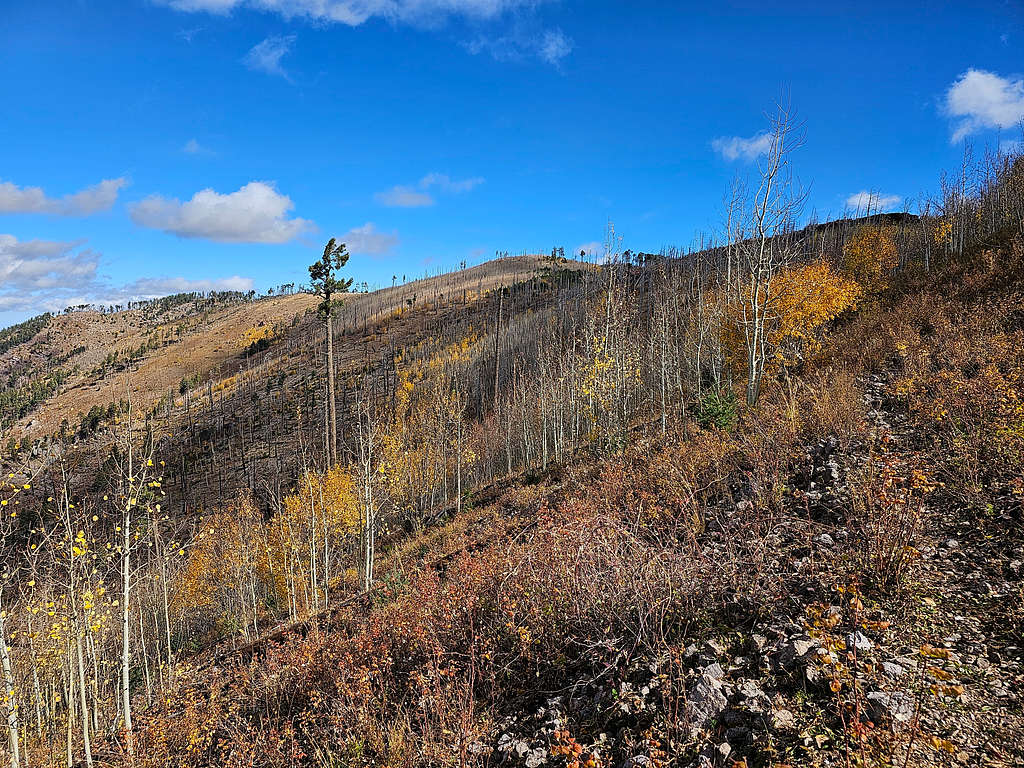
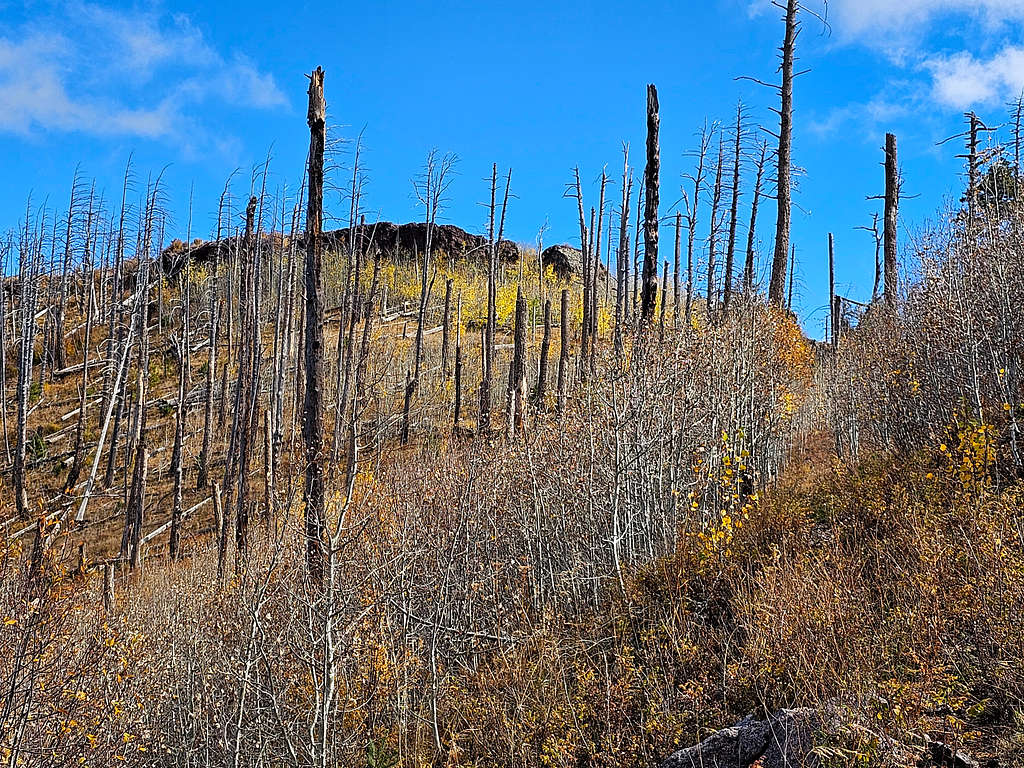
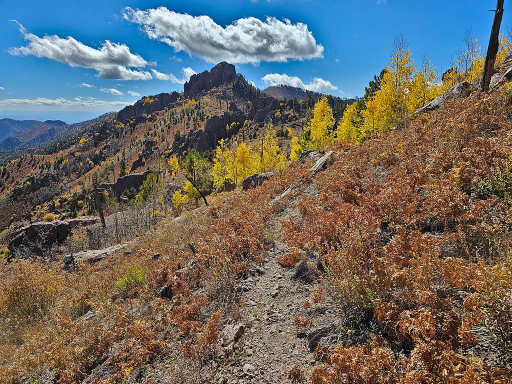
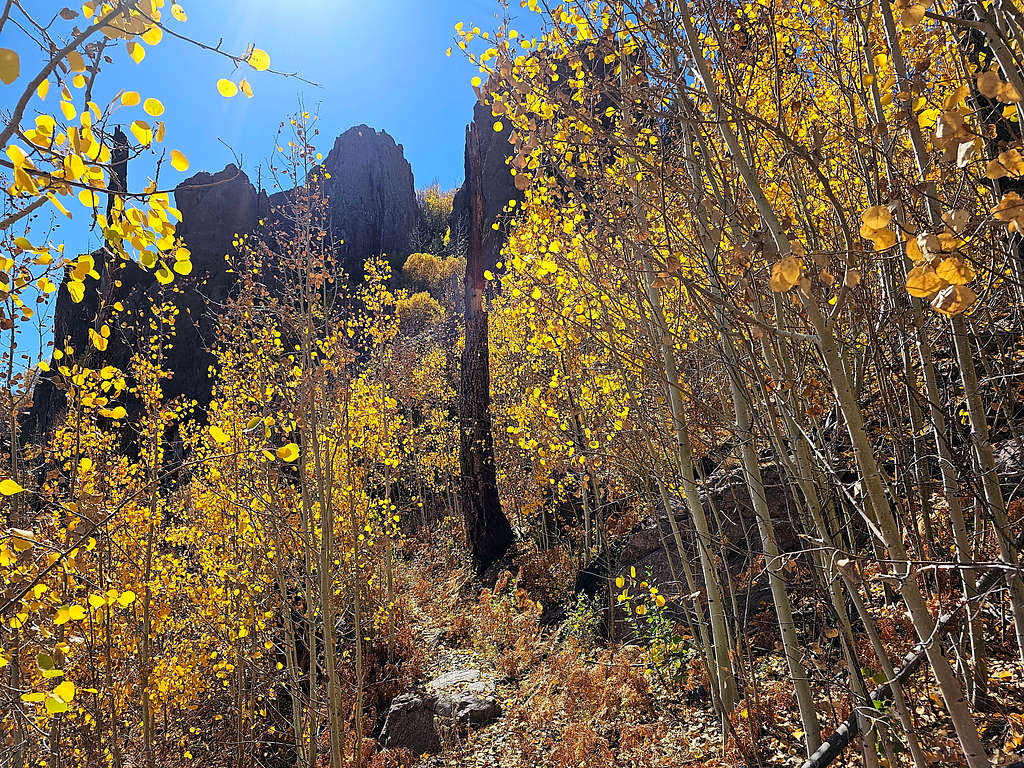
Beautiful golden autumn colors.
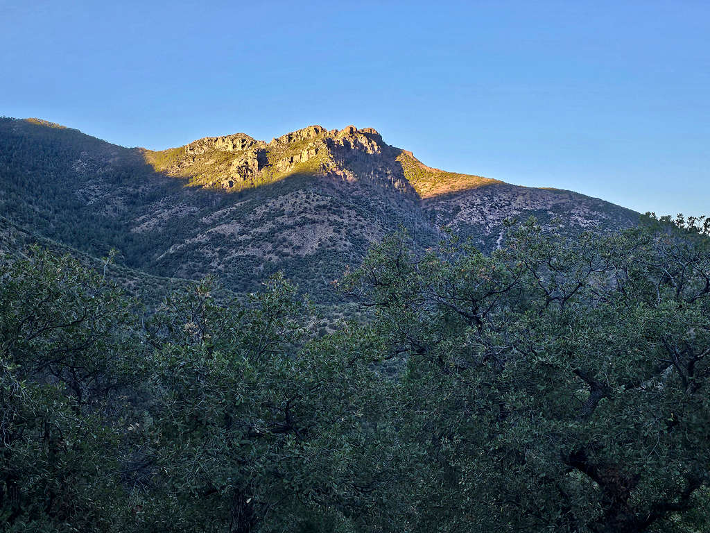
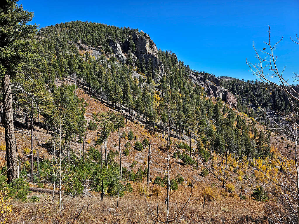
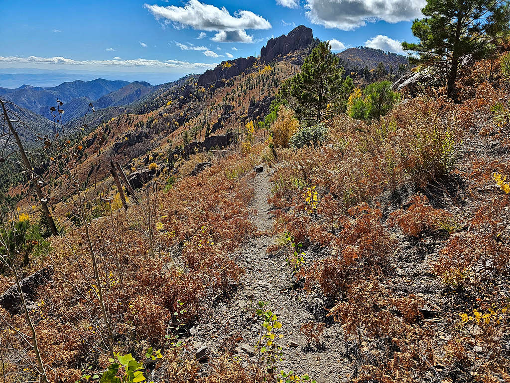
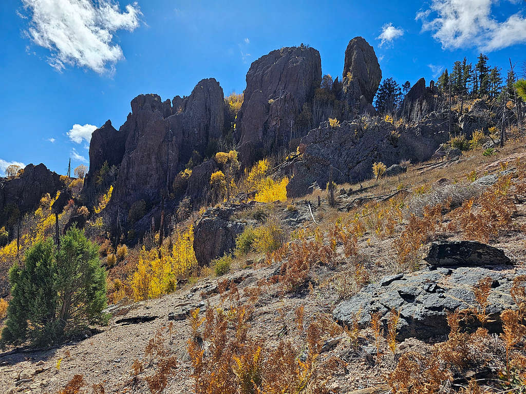
The 9375 ft Paint Rock.
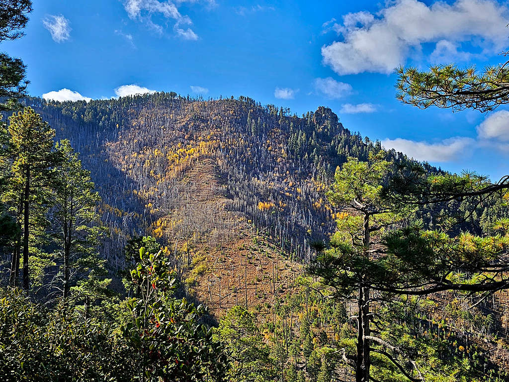
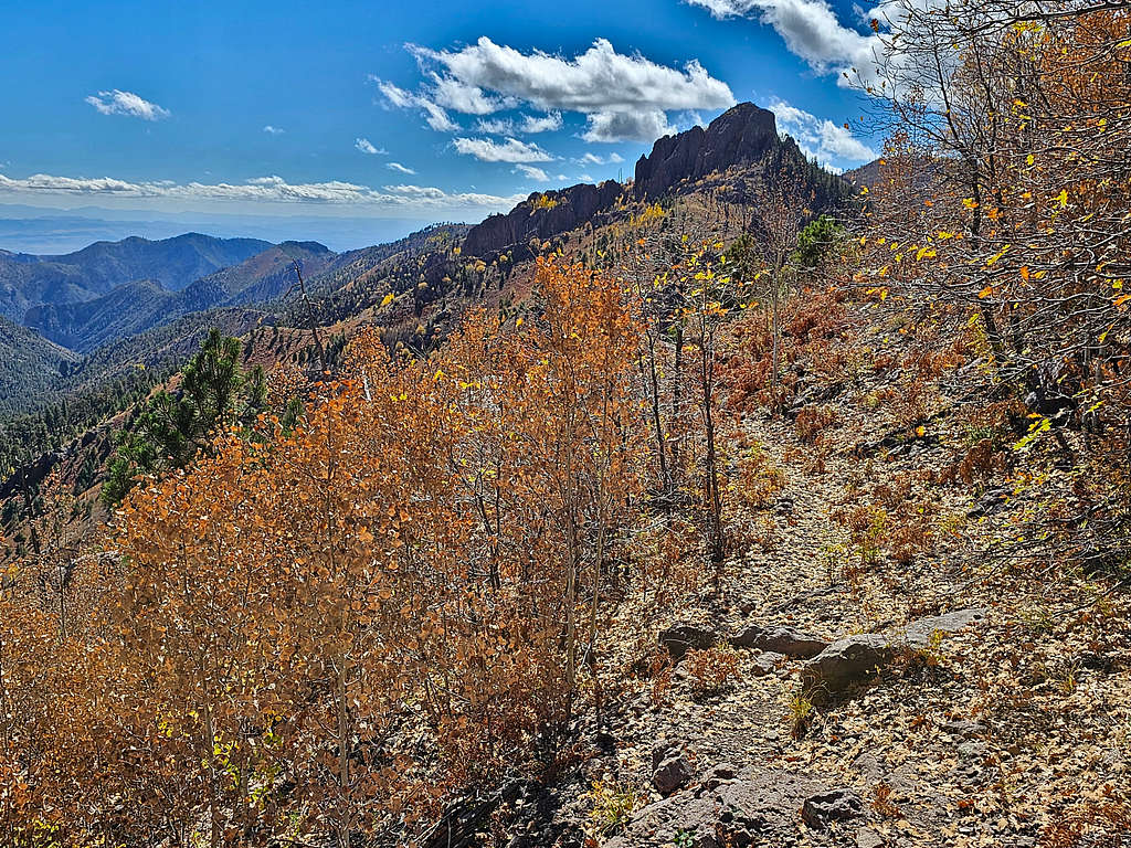
Looking back at Chiricahua Peak.
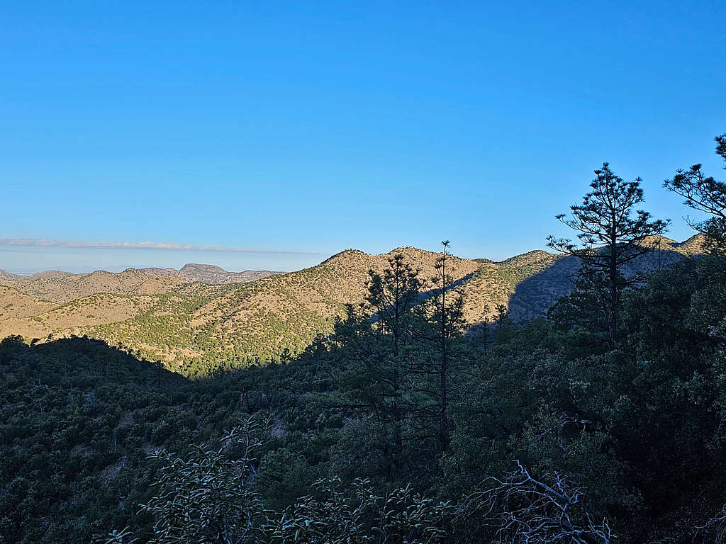
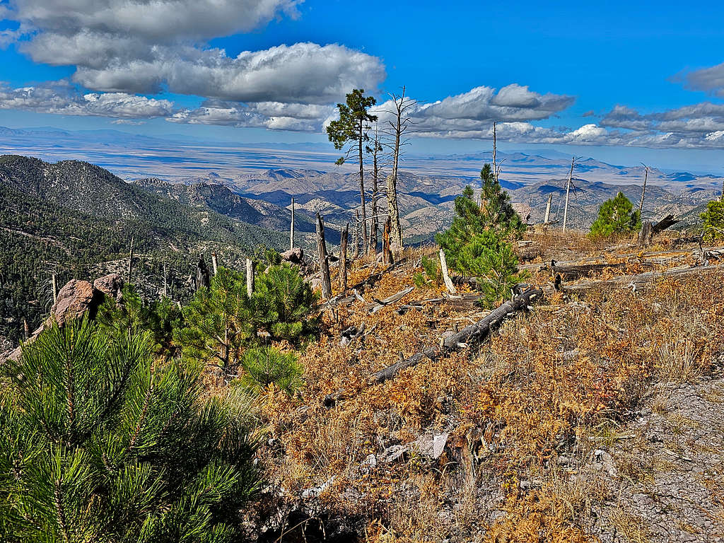
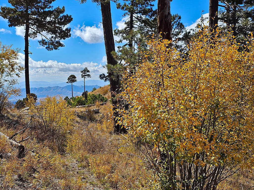
Views on the ridgetop.
The trail then traversed the slopes below the rocky summit of Paint Rock.
Looking back at Chiricahua Peak.
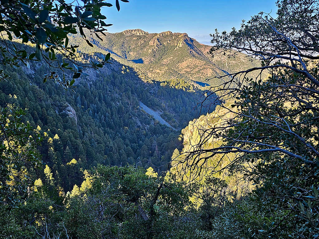
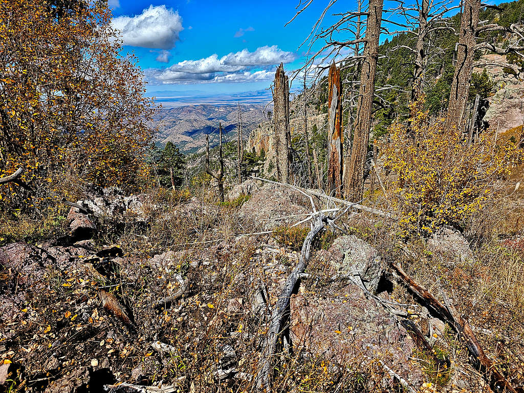
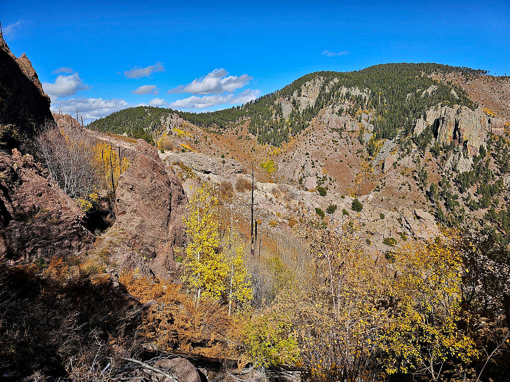
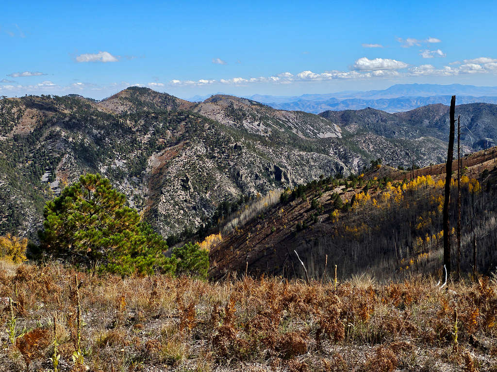
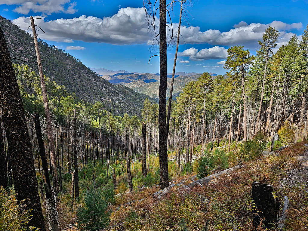
Looking down into Rucker Canyon.
Zoomed view of Rucker Gates, the cliffs that guarded the entrance into Rucker Canyon. Sage Peak was also seen.
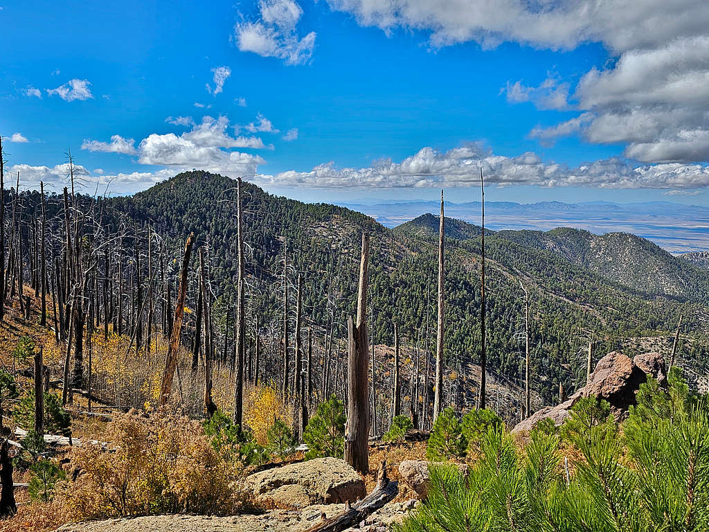
Raspberry Peak came into view.
Monte Vista and Johnson Peaks.
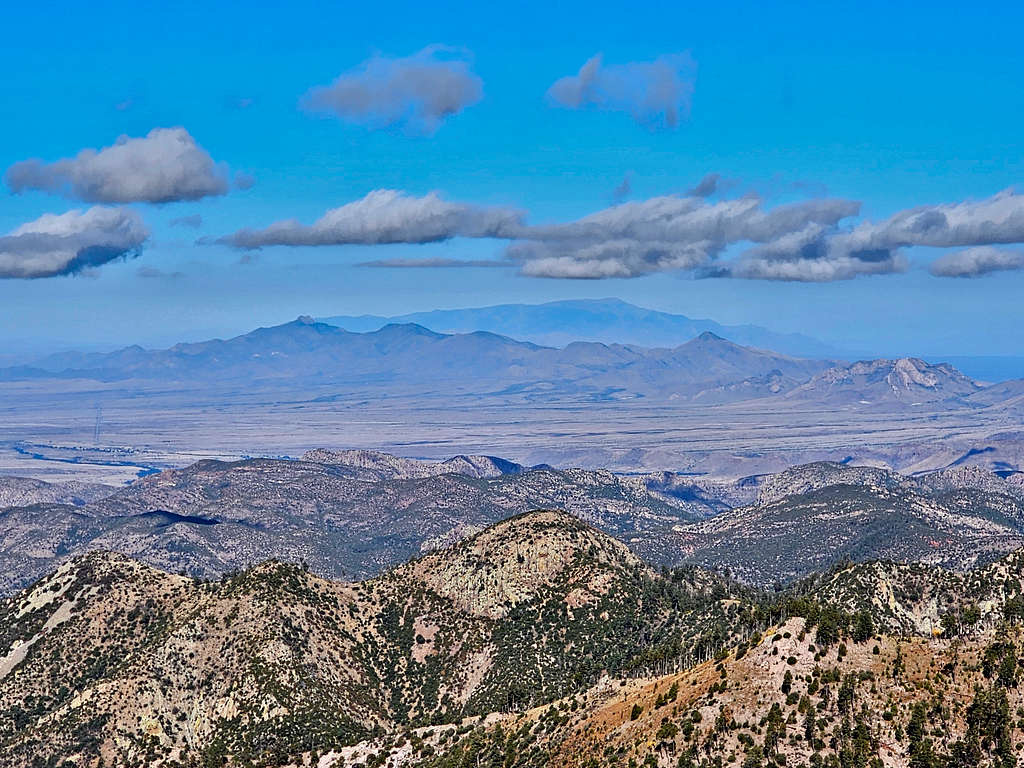
The distant Dos Cabezas Mountains and Mount Graham behind them.
Raspberry Peak. I had thought of going off trail to reach its summit but the bushwhacking and the probable lack of view from the top made me decide against it.
Finnicum and Sentinel Peaks.
The trail turned west and traversed the northern slopes of Raspberry Peak to reach the saddle with Monte Vista Peak.
Monte Vista Peak.
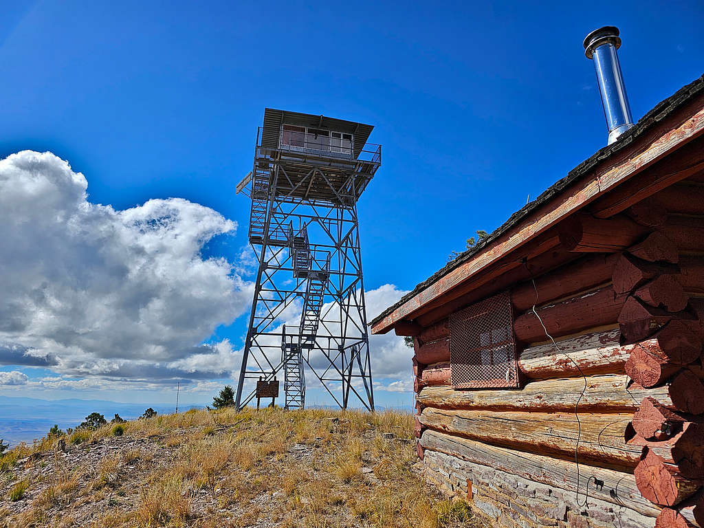
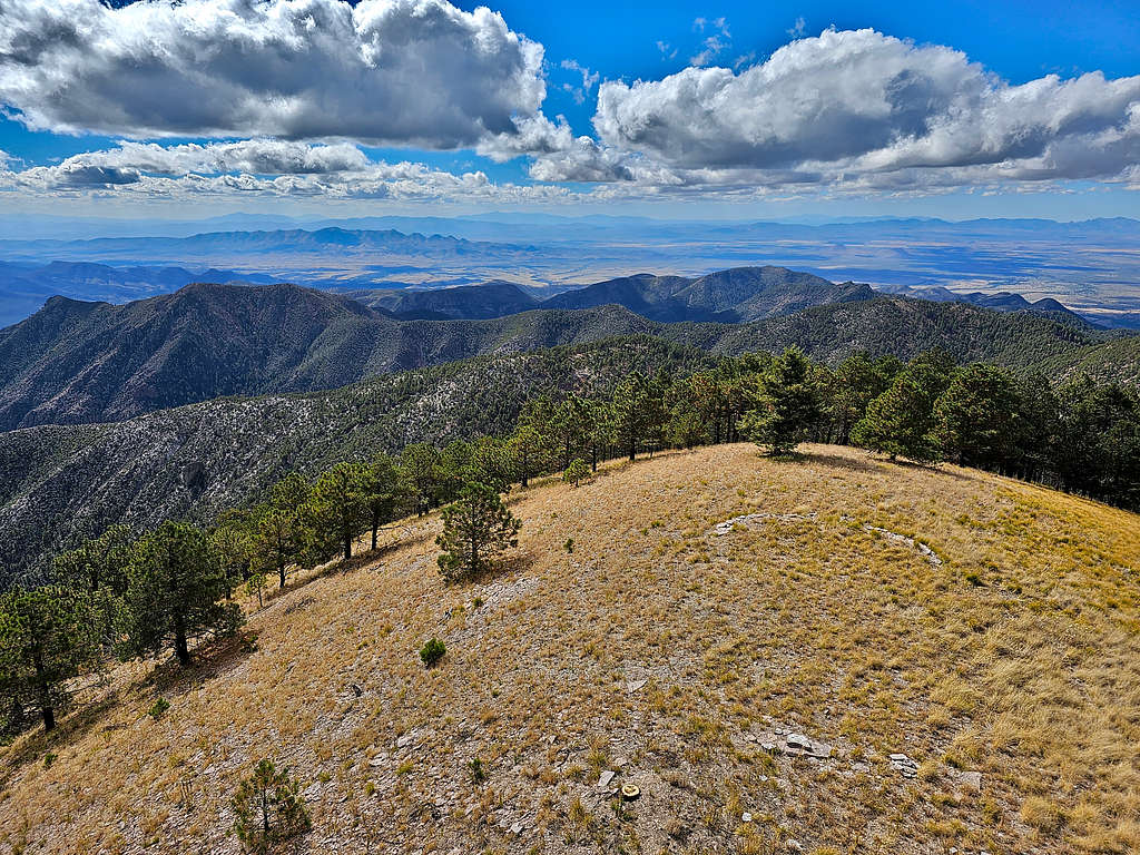
Got into a pine forest, went uphill and took a 0.2-mile spur trail to reach the summit of the 9355 ft Monte Vista Peak at 1:15 PM and 9.48 miles. There was a locked cabin and a 40 ft tall fire observation tower on the summit. A sign said that visitors were not to climb the tower, but the stairway was open. I went up 3 flights of stairs. The fourth one was closed. That got me far enough above the trees to get good views. I was again pleasantly surprised to not see anyone there. I had not seen a single person all day long.
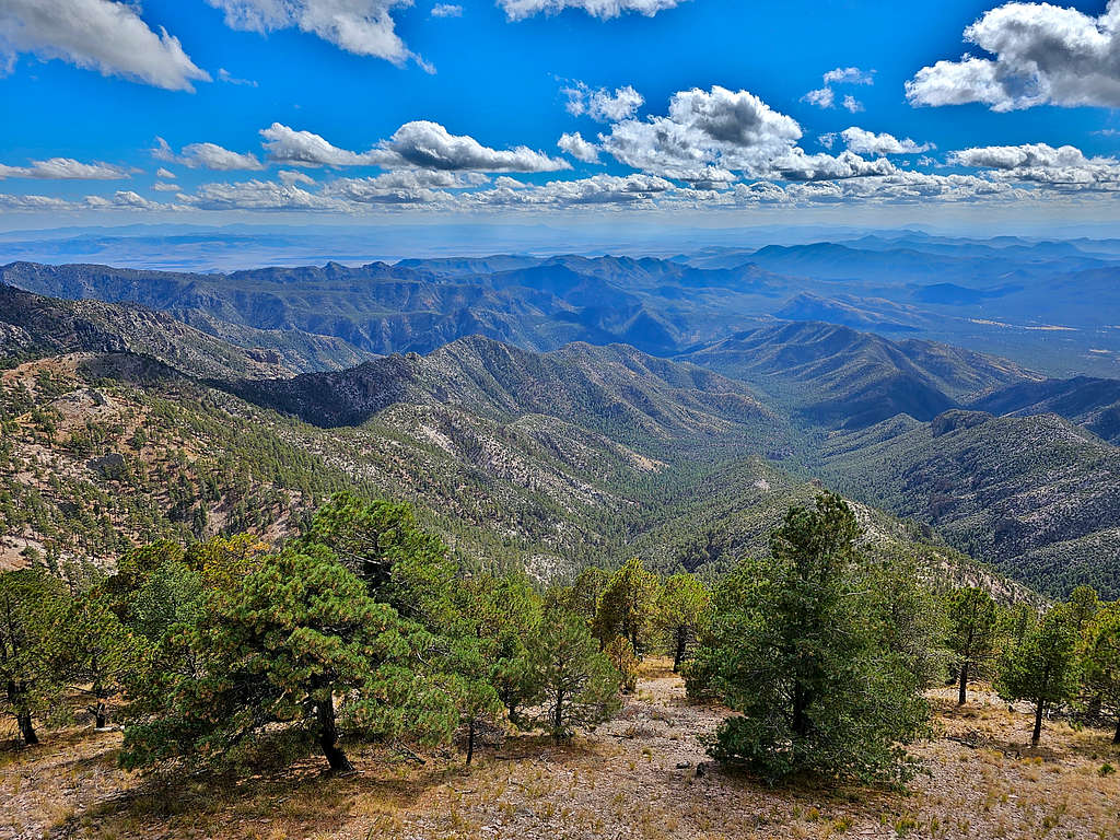
Looking south.
Looking southwest-west.
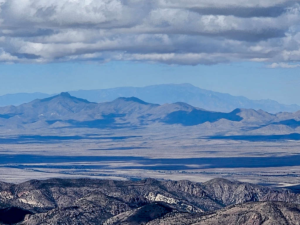
Looking northwest, Dos Cabezas Peak (34 miles away) and Mount Graham (69 miles away). Zoomed and not zoomed views.
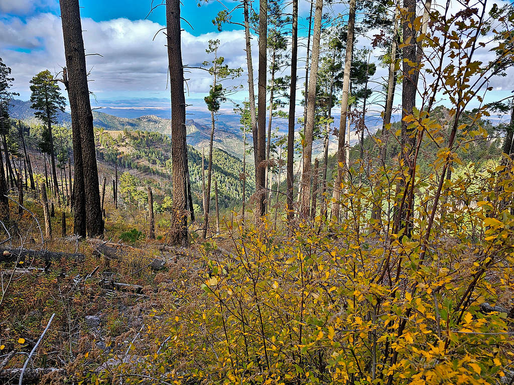
After a short rest, I got on the trail and continued it down in the pine forest toward Morse Saddle. Views of Johnson Peak.
Looking back at Monte Vista Peak.
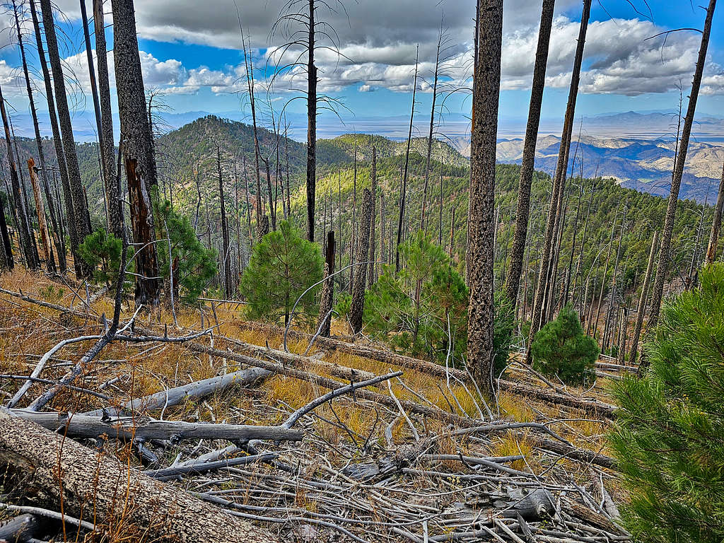
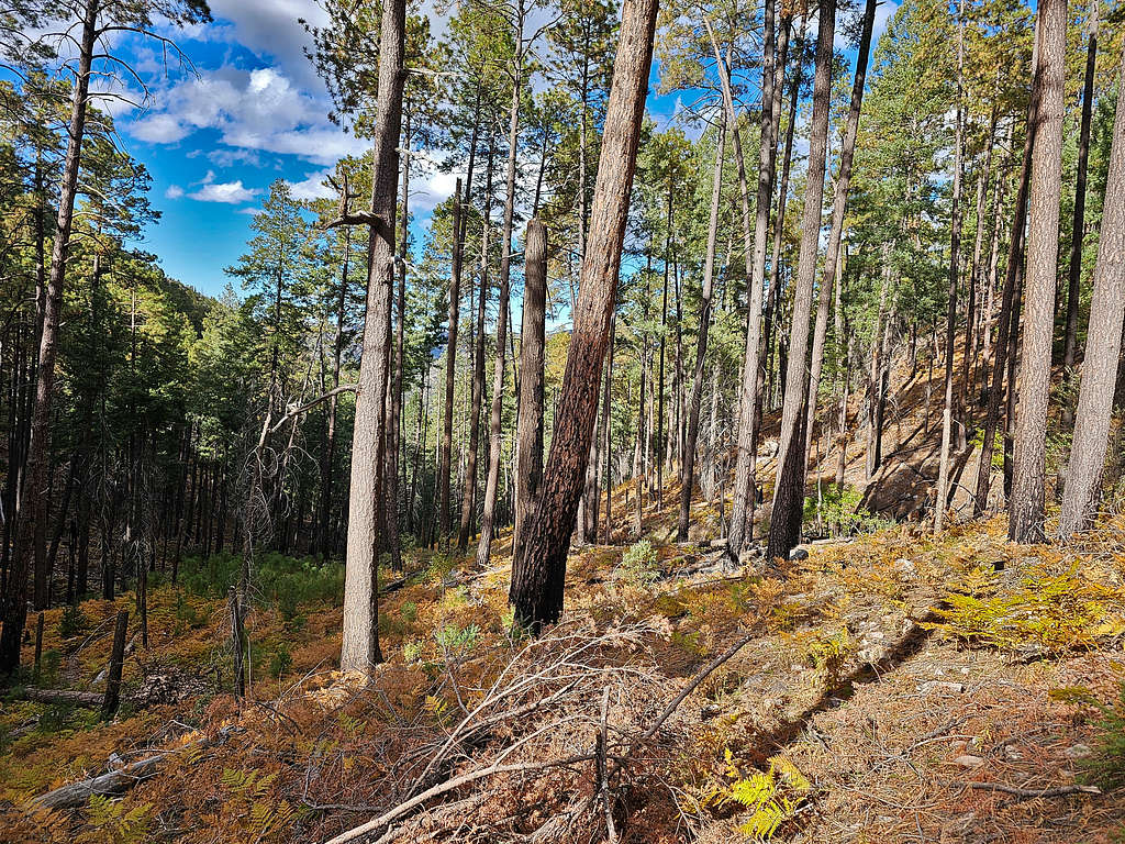
At 2:14 PM, 10.95 miles and 8540 ft, I was at Morse Saddle at the base of the summit of Johnson Peak. The summit of Johnson Peak was forested and reaching its top would have been a bushwhack with no views. I then got on Morse Canyon Trail which took me into a cool Pine Forest going down steeply. Only 0.75 miles from trailhead, I ran into a group of 3 men walking up. Those were the only people I saw all day long.
Reached Morse Canyon Trailhead at 3:30 PM, 13.34 miles and 6620 ft. Walked the road until I was back at my rental Jeep at 3:57 PM, 14.58 miles and 6200 ft.