


Comments
No comments posted yet.
|
|
Trip Report |
|---|---|
|
|
40.80952°N / 109.97421°W |
|
|
Jun 14, 2014 |
|
|
Hiking |
|
|
Summer |
From the Ogden Area, the drive to Spirit Lake seemed an hour shorter (3 hours vs. 4 hours to Chepeta Lake). And, as the main page alluded, the scenery seemed much better.
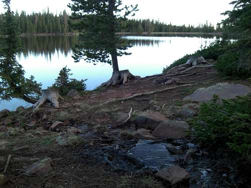
Drove after work Friday and arrived Spirit Lake just before Sunset. I picked a campsite along the South-shore of Spirit Lake with a fantastic view. At 10,200 ft. it's the first time I've actually camped above 10,000 ft. Have to admit, woke up in the middle of the night to deliberately take in deep breaths to get enough oxygen. *old.
Views from my campsite in the morning were gorgeous with calm wind, glassy water, and a babbling brook.
Again vistas from my campsite were awesome. Cool crisp morning in the 30s for my entire hike. Brrrr. It didn't get into the 40s until I got back to camp in the afternoon.
Sunrise at Spirit Lake was peaceful.
If you want a formal campsite, Spirit Lake also has a well kept National Forest Service Camp Ground. The campsite fee in June 2014 was $12/day with checkout time 1300. But, if you don't need a picnic table, there are several small campsites on the approach to the lake.
The road to Spirit Lake is closed in Winter (just like Mirror Lake Highway). But when it does open in early Summer, the 13 miles of dirt road is smooth enough for cars in-order-for the patrons of Spirit Lake Lodge to transit. So, if you'd rather not rough-it, there's a Lodge complex with cabins, canoes, and restaurant on the other side of the lake.
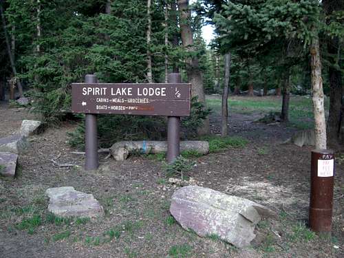
If you'd rather not rough-it, there's a Lodge complex with cabins, canoes, and restaurant on the other side of the lake.
Trailhead closer to the Lodge had large parking area. It's not on Trailhead sign, but Eccentric Peak is about 3 miles one-way with just over 2,000 ft. elevation gain. There are no established trails to any of the close peaks, so route-finding would be good skill to have here.
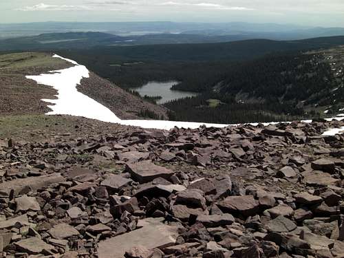
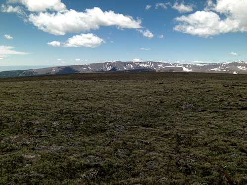
Only half-way up to the ridge (at 11,000 ft.) the views are already breathtaking! You can see Tamarack and Jessen Lakes (laying at 10,400) in the distance.
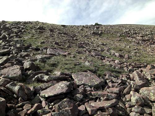
Cresting the high-ridge below Daggett Peak may require some route finding to avoid tricky talus fields. I tried to follow lines of grassy areas as much as possible.
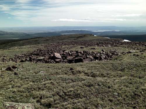
Once on the Daggett Ridgeline the views toward the North are vast and amazing.
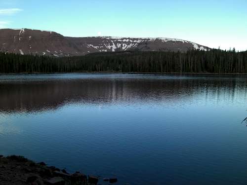
You have a great view of Spirit Lake from the ridgeline just below Daggett Peak.
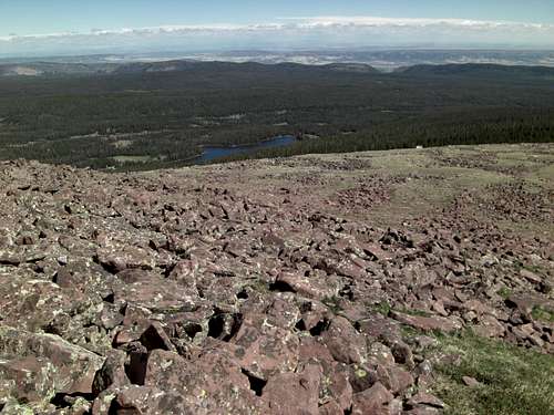
From the Ridge you can also see Daggett Lake (which sits at 10,500 ft.) in the basin below.
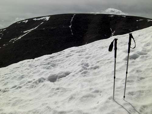
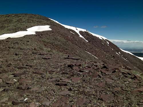
Looking up toward Daggett Peak, cool snowdrifts were still lining the ridge even in June. Wanted to use the line of snow as magic-staircase and boot-pack to the peak, but I post-holed and didn't take the time to don my leg-gaiters.
I planted my trekkers in the snowdrift lining the ridge toward Daggett Peak. You can now see Eccentric Peak (okay, "Mound") across the Cirque.
Made it to the Cairn marking Daggett Peak at 12,100 ft. You can now see Utah's 13'ers in the distance.
N40.81565° W109.99349°
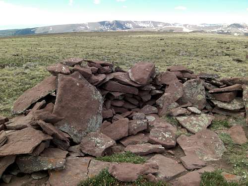
There are couple Cairns on Daggett Peak.
In the saddle (at 11,800 ft.) between Daggett Peak and Eccentric Peak. You'll realize that on the way back, regaining the 300 ft. altitude loss is going to be a bear in thin-air!
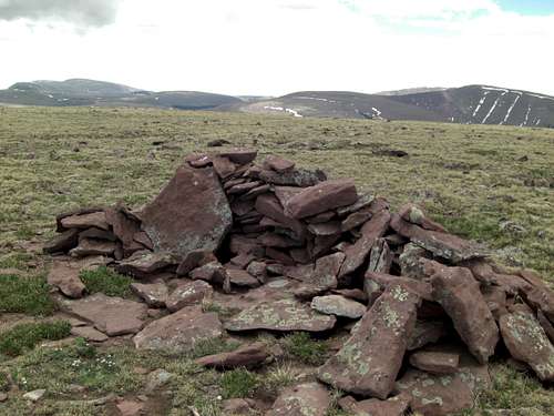
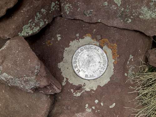
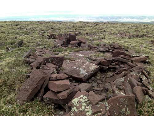
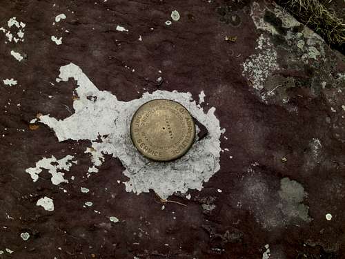
Finally, at the Cairn sheltering the Geodetic Spike marking Eccentric Peak and the Highpoint for both Daggett and Uinta Counties (on the county border).
Eccentric Peak Geodetic Benchmark stamped 12,280 ft.
N40.80952° W109.97421°
Open Country views from Eccentric Cairn are beautiful.
From Eccentric Peak Cairn you can see Utah's 13,000 ft. Peaks in the distance.
Link to Eccentric Video Panoramic. Again, it was in the 30s during my entire hike and to top it off there were blustery winds on the summit ridge chillin' me to the bone! So watch out for the shaky camera work. Set to 1080p or 720p.
https://www.youtube.com/watch?v=AAzm4RmrXVQ
Still of me on Eccentric Peak at 12,280 ft. with Kings Peak and Gilbert Peak beyond.
Eccentric Still Panoramic series looking West toward Kings Peak and Gilbert Peak.
Eccentric Panoramic looking North.
Eccentric Panoramic looking East.
Eccentric Panoramic looking South-East.
Eccentric Panoramic looking South.
Eccentric Panoramic looking South-West. End Panoramic series.
Less than 100 yds. due East from Eccentric Peak is Chepeta Peak (with Cairn and Benchmark at 12,270 ft.). Guess the U.S. Geologic Survey folks back in the mid 1900s had a tough time figuring out the highpoint on the broad peak (okay, mound really, but way high).
Chepeta Peak Benchmark Spike. Elevation 12,270 ft., just ten feet lower than Eccentric Peak. In 1958, it was "$250 fine for disturbing this mark". Wonder what that is in 2014 dollars?
N40.81004° W109.97269°
On the way down off Daggett, veered too far West and had to navigate gnarly Talus Field to get back to the Spirit Lake Trailhead. Treacherous hopping down these rocks. Even some of the large ones were loose to check your balance and make sure you were still paying attention! Instead, if you keep North-Easterly heading from Daggett Peak, you'll stay on more grassy gentle slopes.
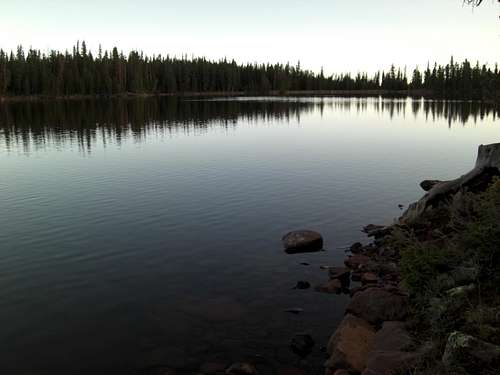
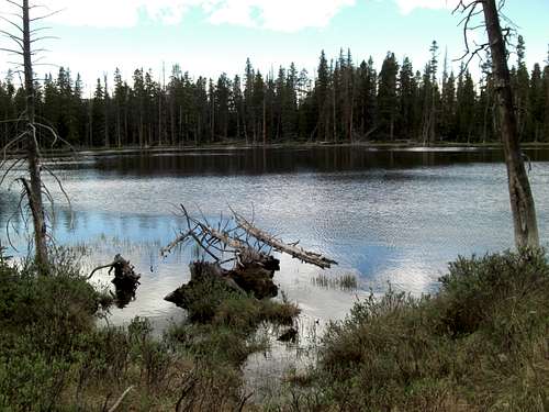
Passed by un-named lake quarter-mile from the Trailhead at Spirit Lake. Refreshing sight! Almost done. There were tons of fish jumping! Thanks for viewing!