


Comments
No comments posted yet.
|
|
Trip Report |
|---|---|
|
|
33.38621°N / 105.99572°W |
|
|
Download GPX » View Route on Map |
|
|
May 2, 2022 |
|
|
Hiking |
|
|
Spring |
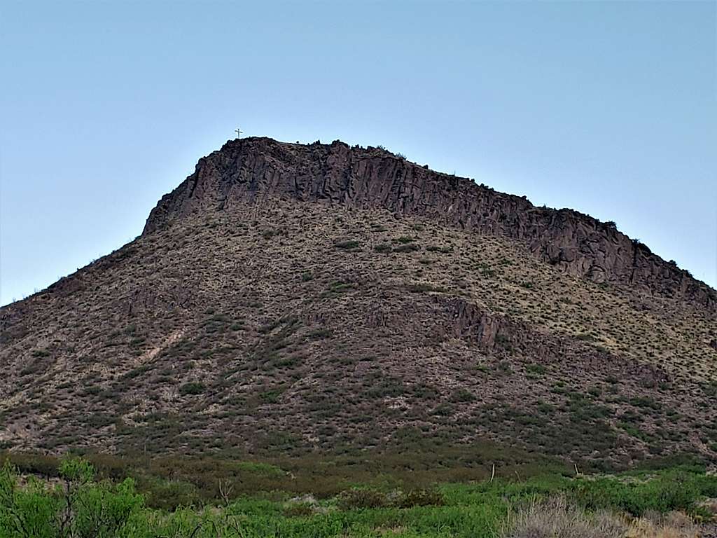
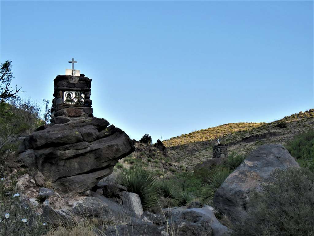
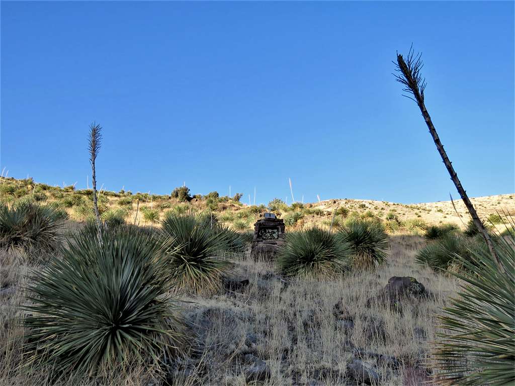
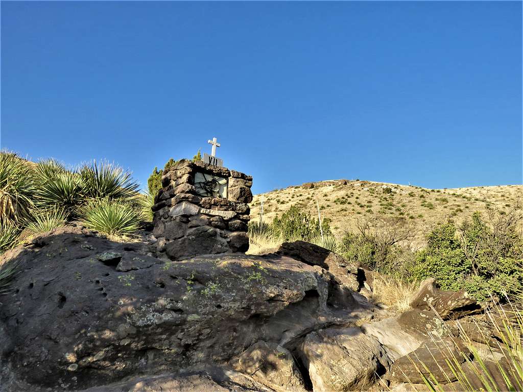
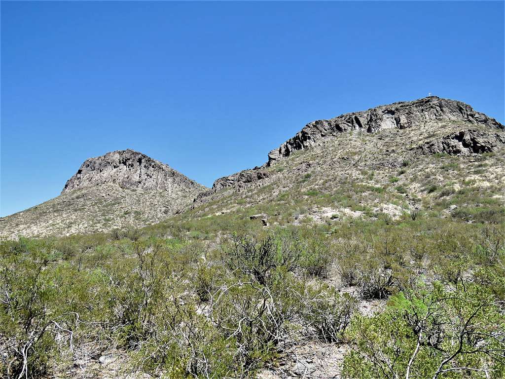
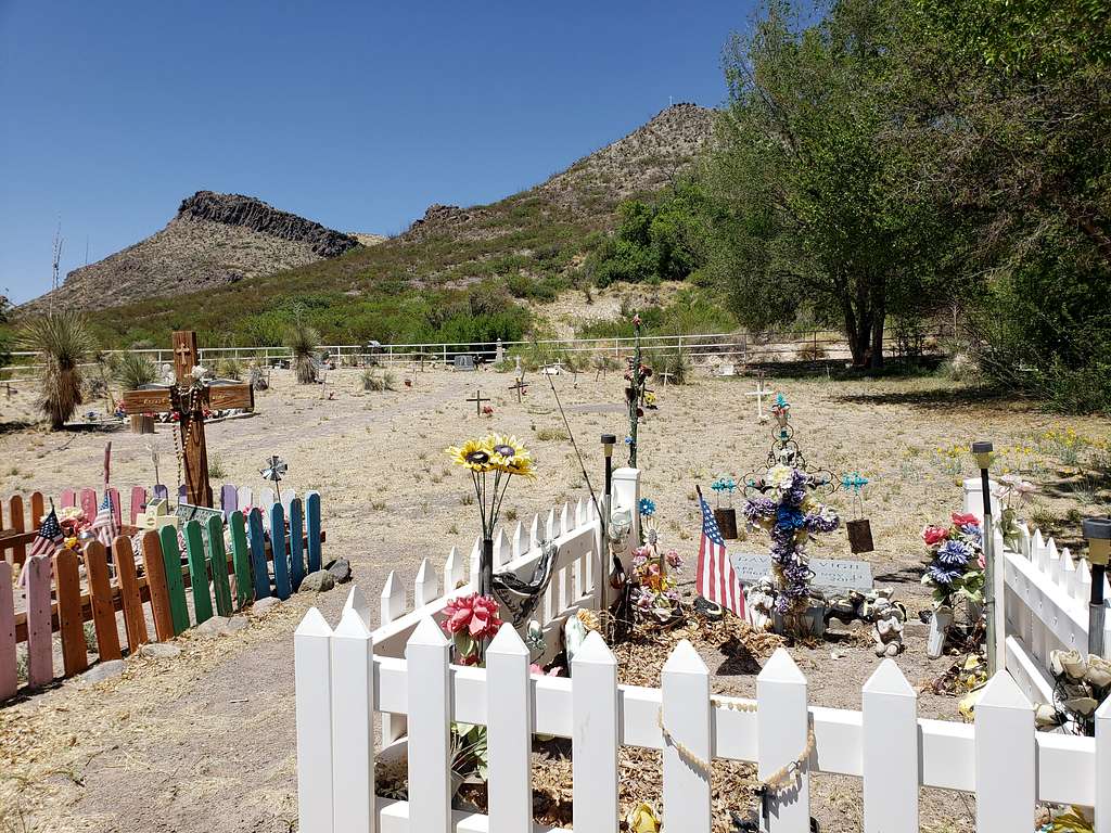
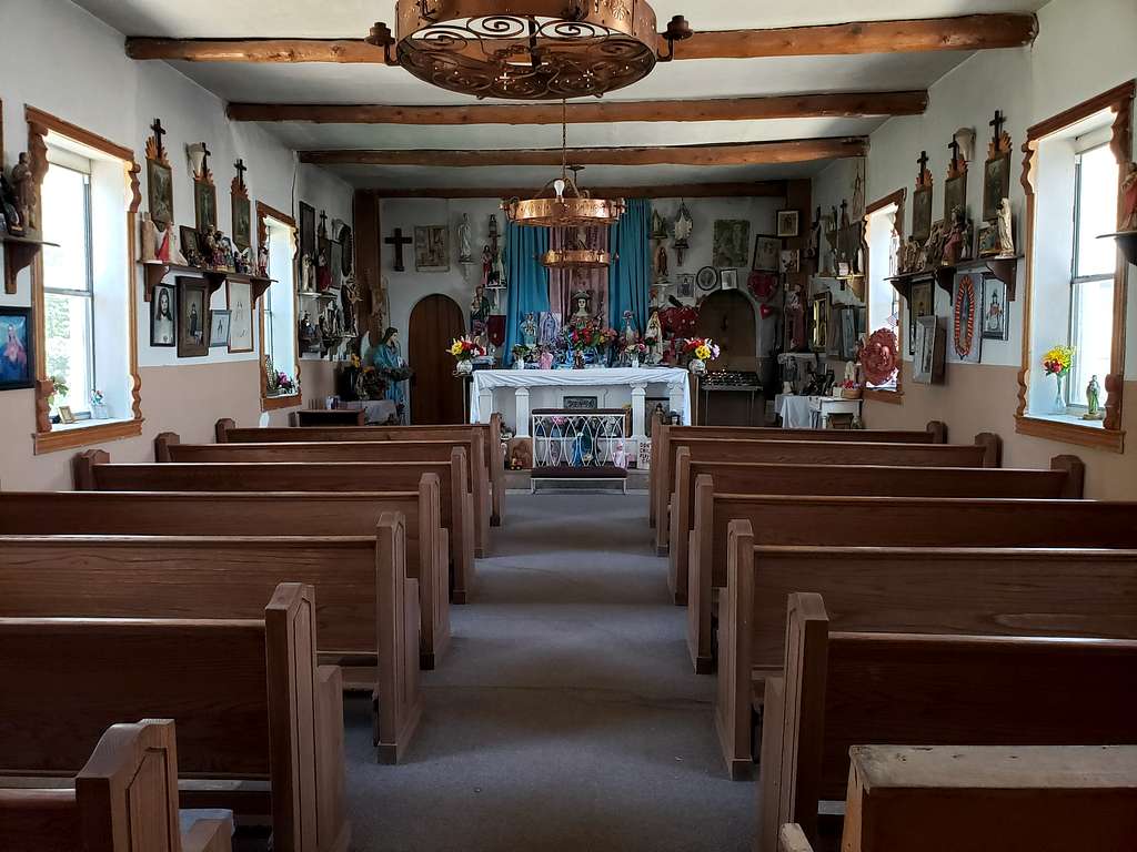
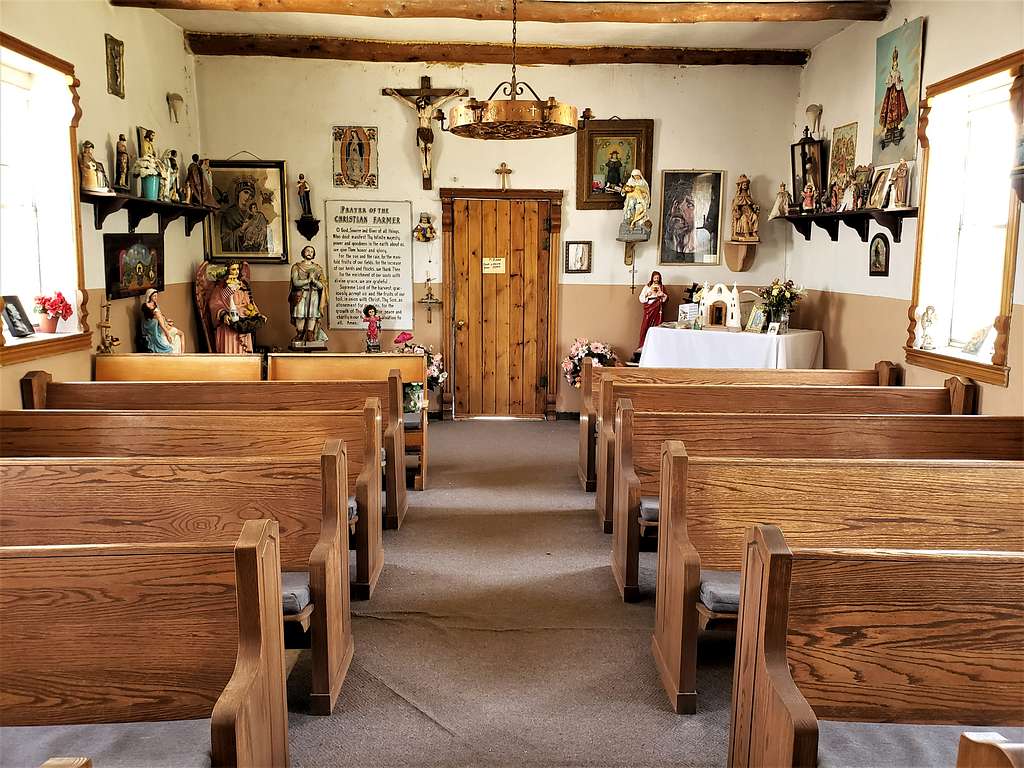
Godfrey Hills rise above the desert plains of southern New Mexico to the west of the Sierra Blanca Peak. A portion of the hills create cliffs that are known as The Palisade. The area is best known for a one room religious relic filled church known as Santo Nino de Atocha Chapel that sits at the base of the hills far from any town or nearby homes. A 0.9-mile trail known as Santa Nino Fourteen Stations of the Cross takes you from the chapel (5330 ft elevation) to the top of a 5900 ft high hill where a big cross has been erected. Along the way, the trail takes you past 14 smaller crosses.
From the cross-top 5900 ft hill, I left trail and went to the summit of a 6135 ft high hill and then followed up and down an inverted U-shaped ridgeline that surrounded Crawford Canyon. Along the way, I made it to the top of the 6260 ft Godfrey Hills South and then descended into Crawford Canyon and followed the desert plain at the base of The Palisade back to the Chapel creating a 9-mile loop hike. I did not come across any Private Property Signs but had to crawl under a barbed wire fence on the last section of my trip on the plain at the base of The Palisades.
Godfery Hills South Elevation: 6260 ft
Rank: New Mexico’s 2418th highest ranked point
Prominence: 509 ft
Length of this Hike: 9.0 miles
Total Ascent: 1900 ft
Lowest Point: 5285 ft
The cross-top Point 5900 ft and the summit of Godfrey Hills South identified with icons.
May 2, 2022
Left the vacation rental house in Ruidoso, New Mexico (6900 ft elevation) at 5:20 AM. Drove west on Route 70 going downhill until the town of Tularosa (4500 ft) where I was out of the mountains. Got on Route 54 travelling north on the desert plains parallel to the mountains. The 11973 ft Sierra Blanca Peak appeared as a black shadow to the east.
After 55 miles, I turned east onto Three Rivers Road, which was a paved side road going toward Sierra Blanca and The Palisades.
Reached the parking area for Three Rivers Petroglyphs where a sign said road closed ahead. That was a bummer. All that driving for nothing? But the road was open, so I assumed it meant that Three Rivers Campground at the end of the road was closed.
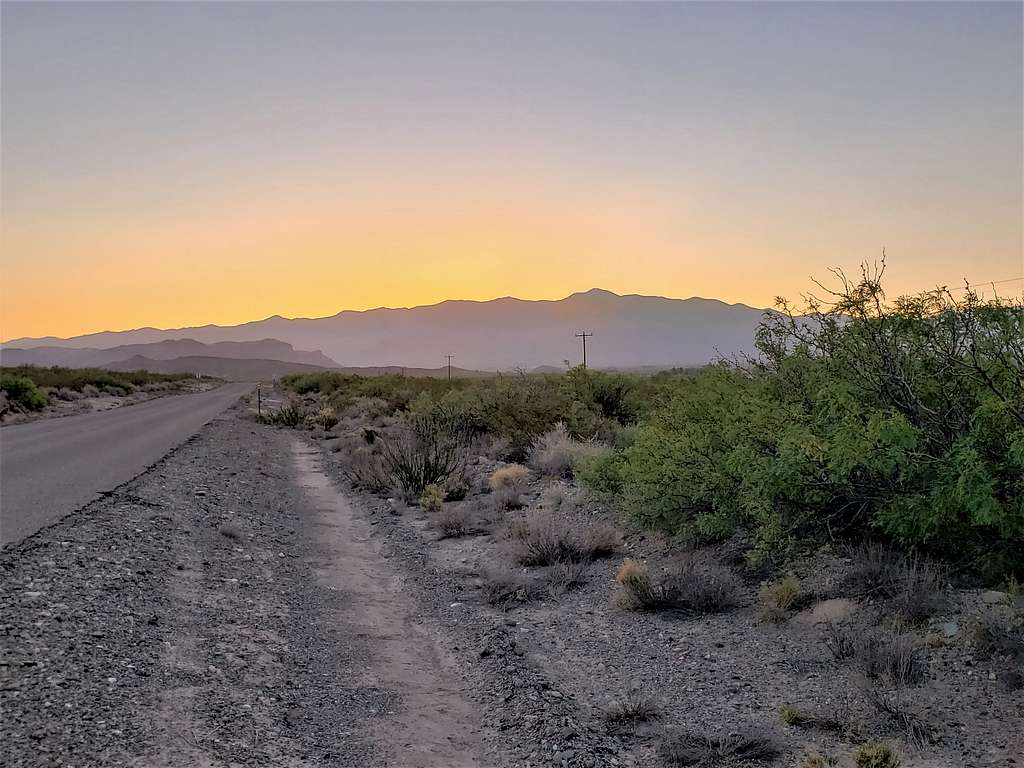
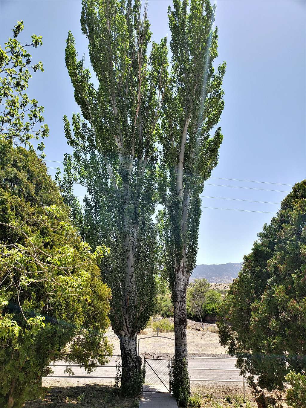
The road became dirt and 8 miles after Route 54, I reached Santo Nino de Atocha Chapel. No one was there but I assumed that someone lived at the chapel to take care of it. Did not see any “No Parking” signs but still wondered if it was okay to leave my rental Jeep there.
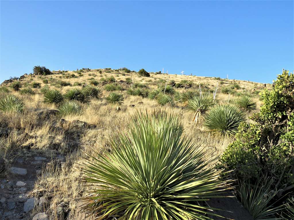
Started my hike at 6:40 AM. It was 50 degrees F and elevation was 5300 ft. Walked a short distance back along the road until I reached the start of Fourteen Stations of the Cross Trail. The 5900 ft hill with the big cross on top of it was visible.
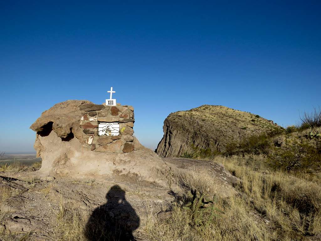
I obviously did not take pictures of all 14 crosses. Here are Stations number 1 and 2.
Continuing up the trail.
I was soon going up the trail under the bright sun. Not even a breeze blew, unlike the previous day when cold wind bothered me on the summit of White Horse Hill.
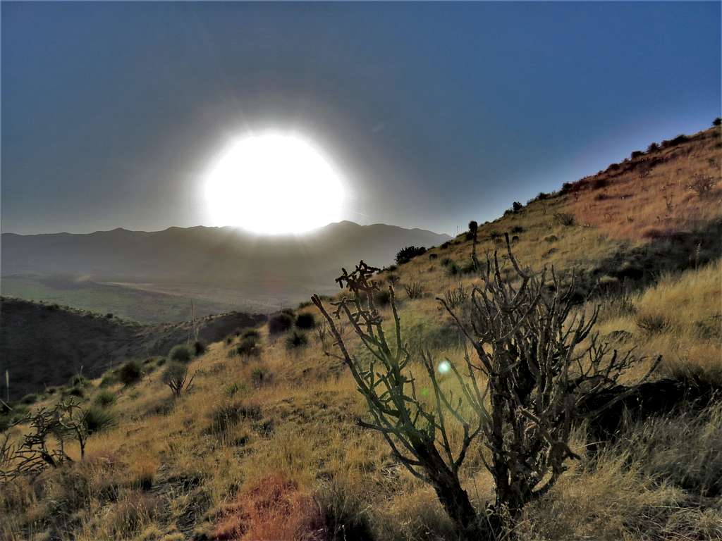
Sierra Blanca and the sun.
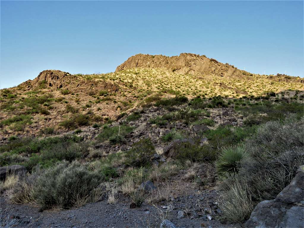
Station 13 and Point 6135 ft.
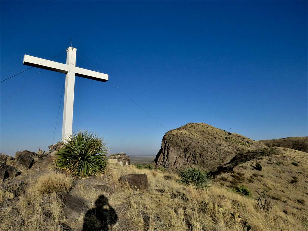
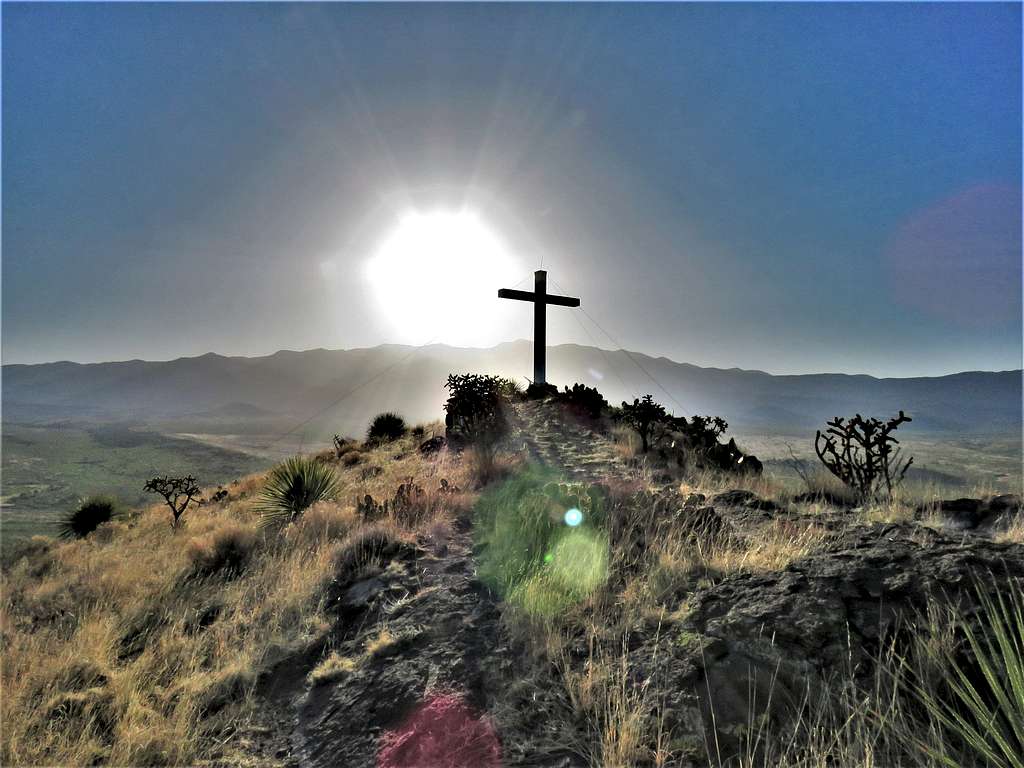
At 7:20 AM and 0.99 miles, I reached the big cross on top of Point 5900 ft.
Dramatic view of the cross, Sierra Blanca and the rising sun.
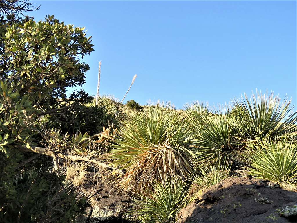
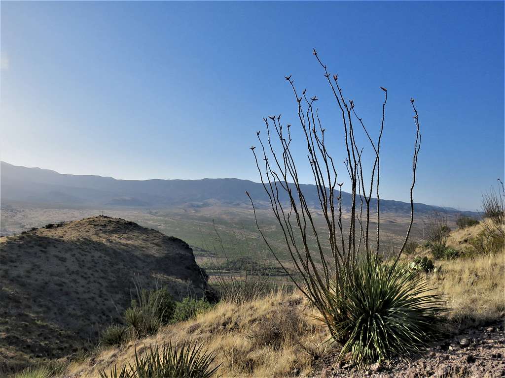
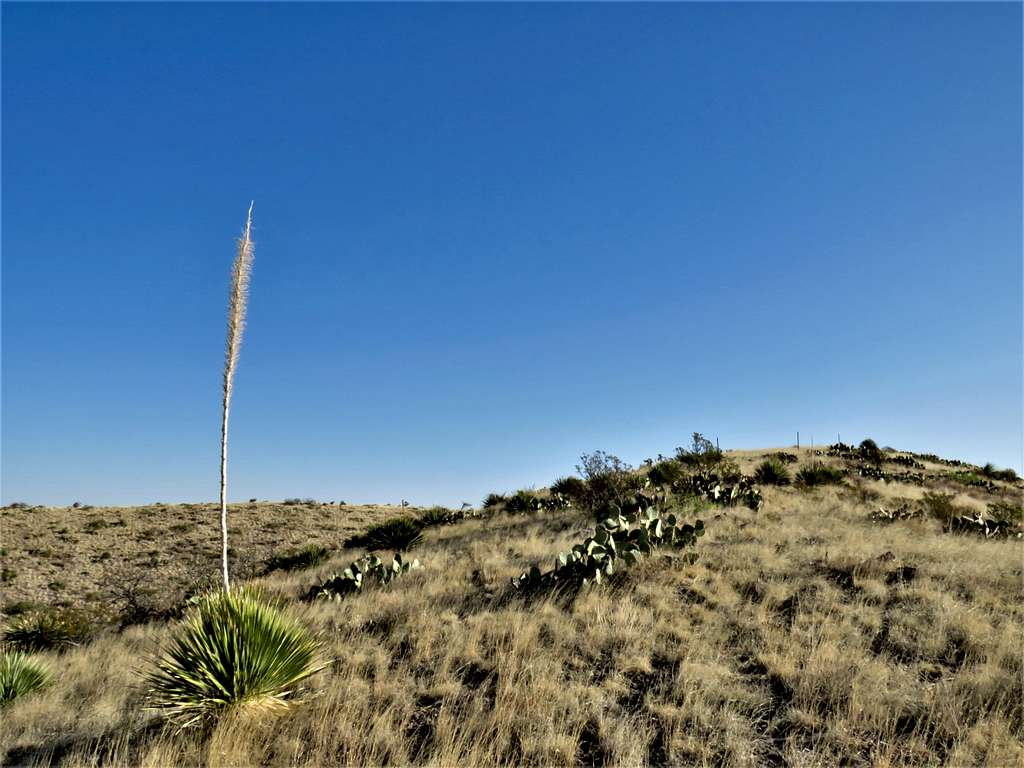
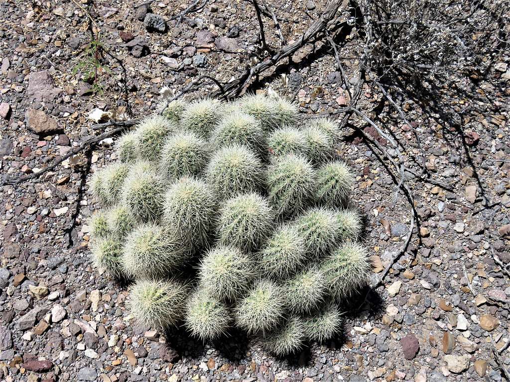
I then left trail and began to go up the slopes toward Point 6135 ft. The slopes were covered mostly by yellow grass. Small cacti and other thorny growths could easily be avoided. I was worried about inadvertently stepping on snakes, but I did not see any. View of the cross-top Point 5900 ft.
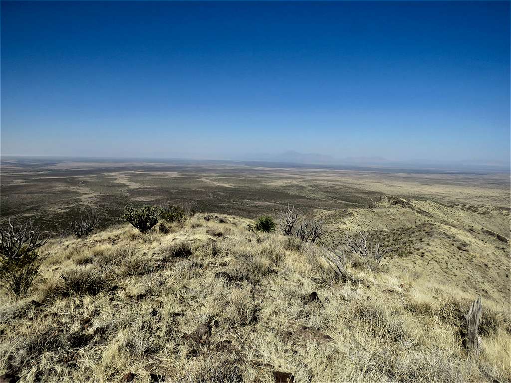
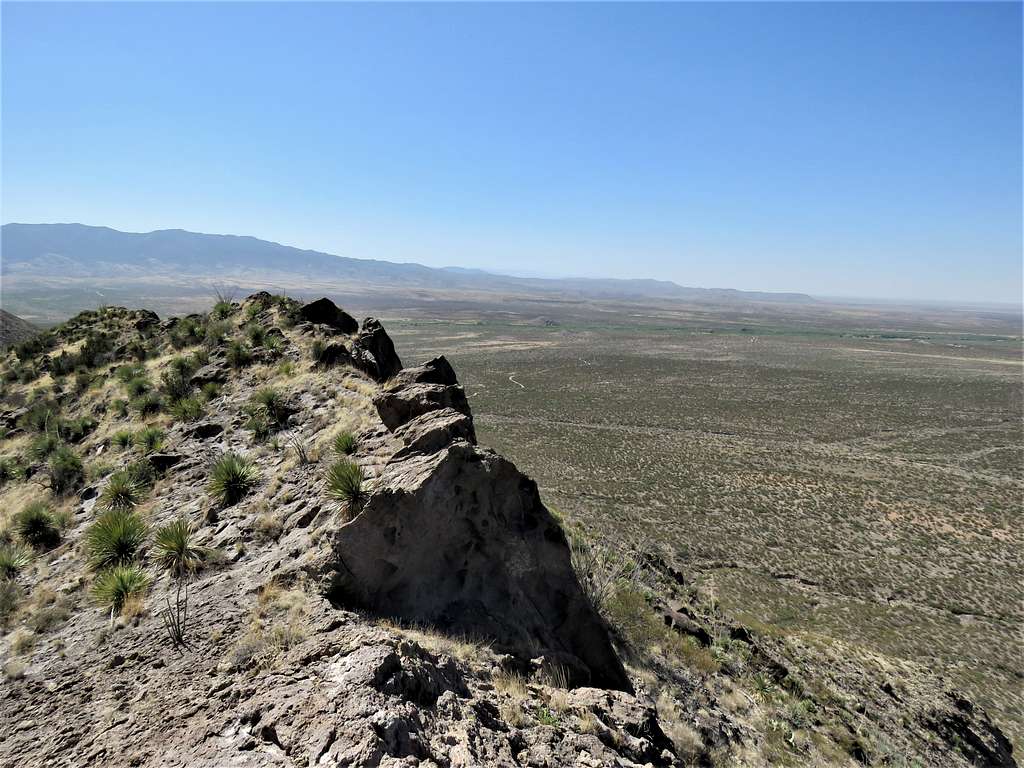
At 7:40 AM and 1.41 miles, I reached the summit of Point 6135 ft. To the south, cliffs and steep slopes went 1000 vertical feet down to the plains below. The cliffs below me were still in the shade. The side of my body that was close to the cliffs felt cool but the other side in the sun felt hot.
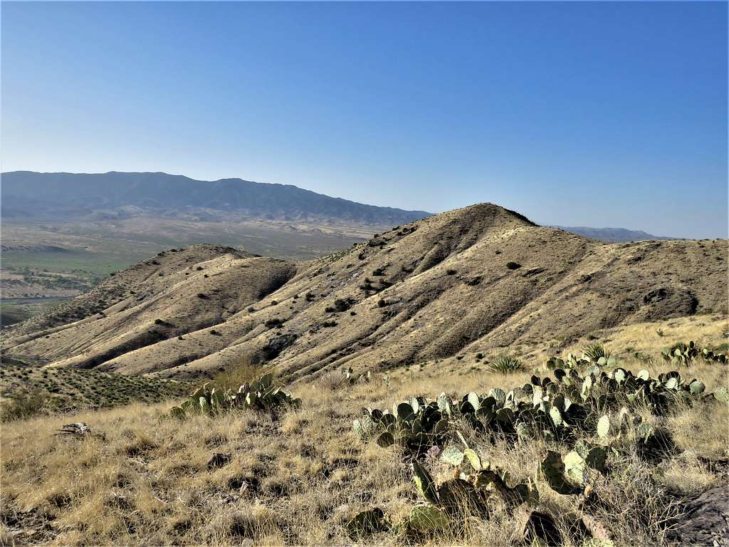
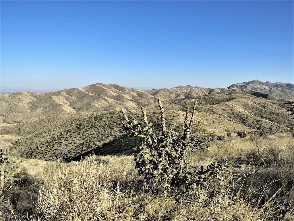
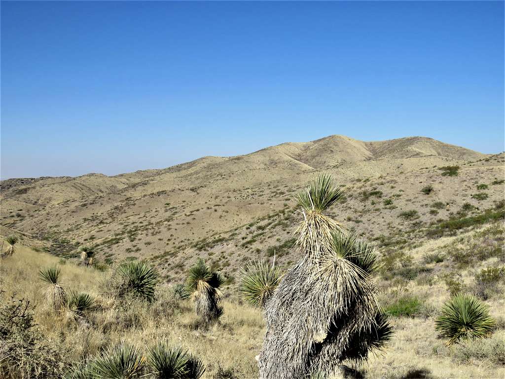
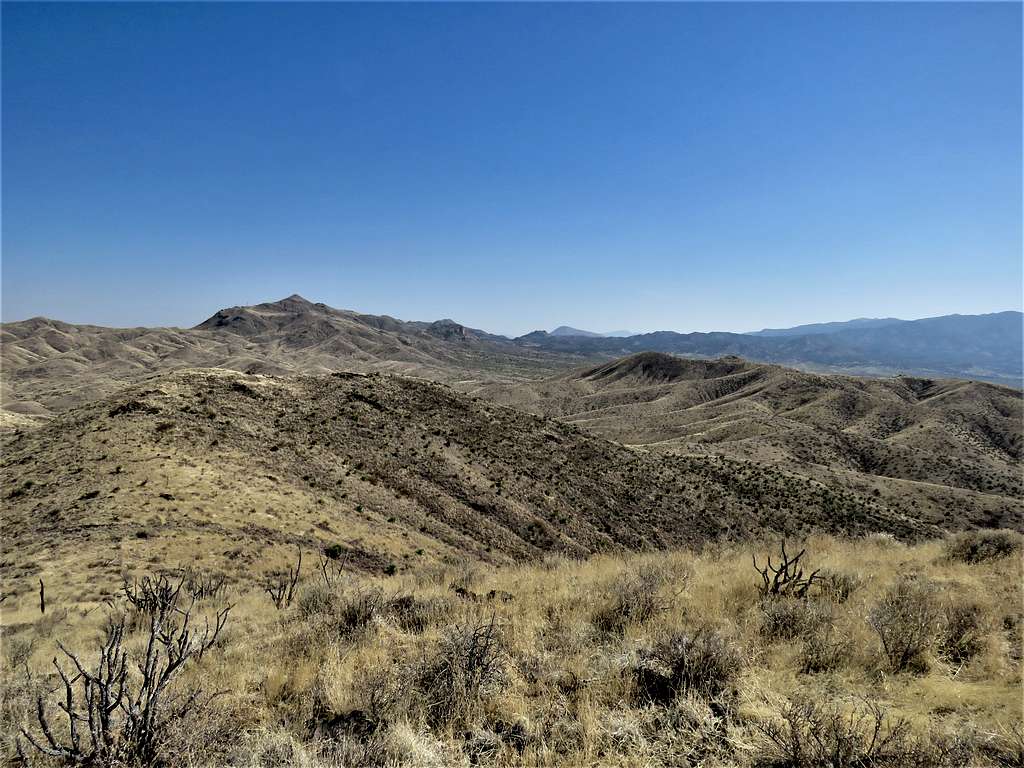
I then headed north following the hilly ridgetop that surrounded Crawford Canyon. It was no longer feeling hot, a nice breeze was blowing. Rose Peak seen on the right and the double summit of Godfrey Hills South in the middle.
Another view of the plains to the south.
A look back at Point 6135 ft and the distant Black Mountain.
Continuing north on the ridgetop.
A barbed wire fence suddenly started. I could have gone to the left or right of it. There were no “private property” signs. If the fence signified private property, which side of it was I supposed to avoid? Since I knew that ultimately, I would need to turn left, I went to the left (west) side of it. For the next mile or so, I hiked along the length of the fence.
At 8:52 AM, 3.64 miles and 6105 ft elevation, I sat in a place and ate my sandwich. View of Godfrey Hills South.
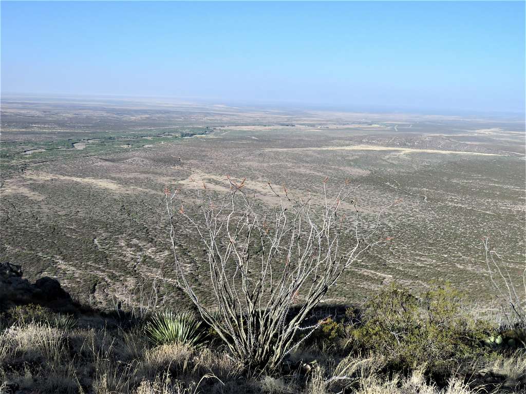
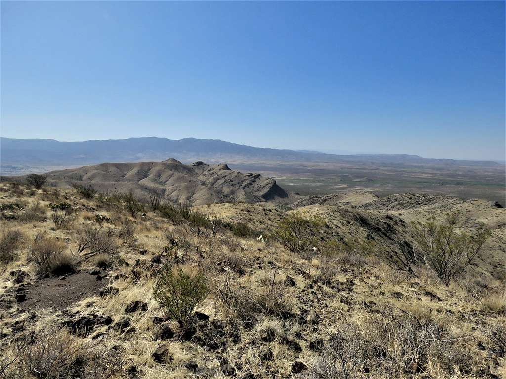
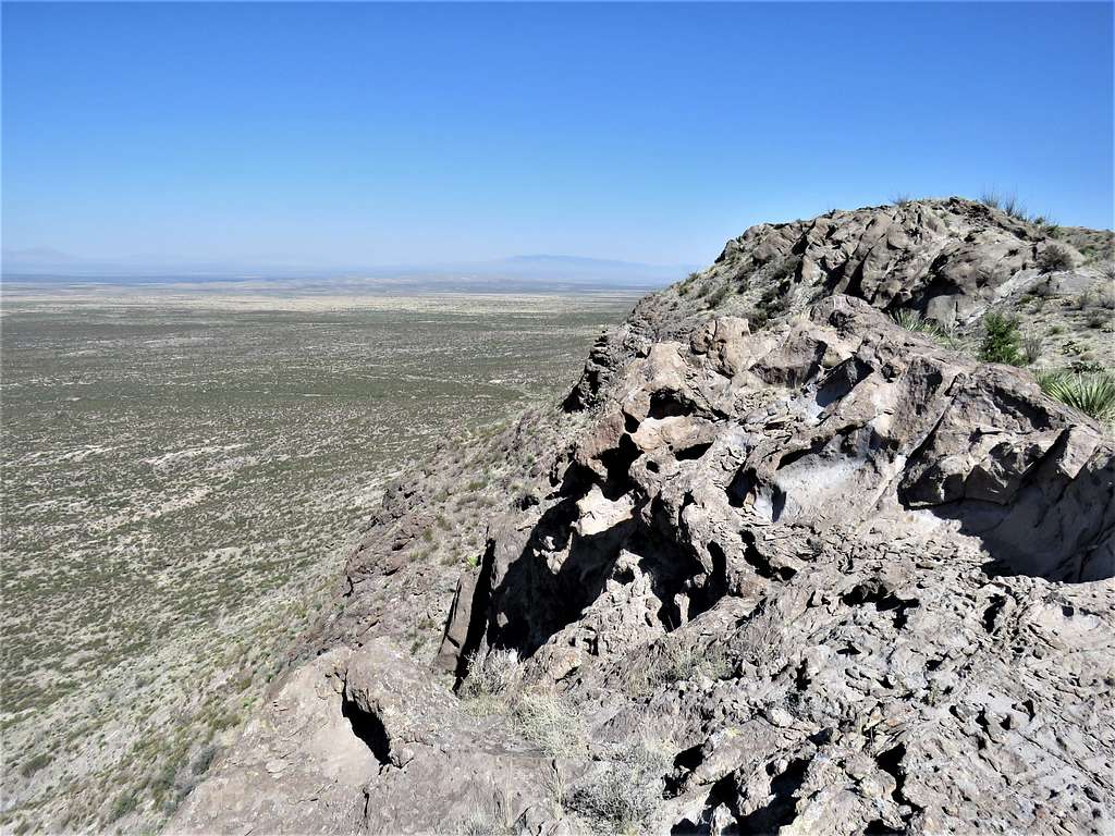
Left at 9:07 AM and continued north until I reached the place where I was at the north end of Crawford Canyon and needed to make a sharp turn southwest. Looking south at The Palisades and Point 6135 ft to the left.
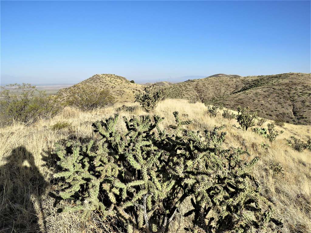
Turned southwest and followed the ridgetop going downhill to a minimum of 5960 ft and then uphill until at 9:40 AM, 4.91 miles and 6260 ft, I was on the summit of Godfrey Hills South.
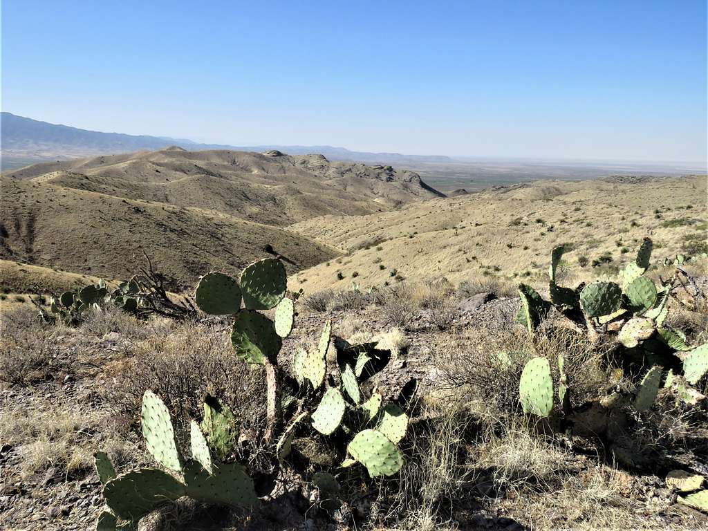
Looking west at the plains below.
Rose Peak to the north.
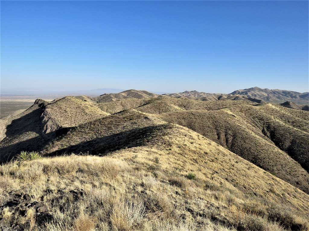
Black Mountain, Point 6135 ft and The Palisade.
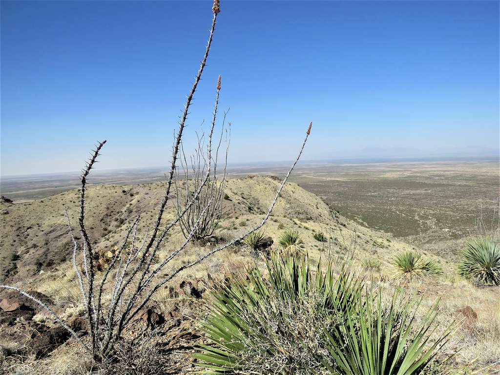
Was then following the ridgetop south.
The slopes became rocky.
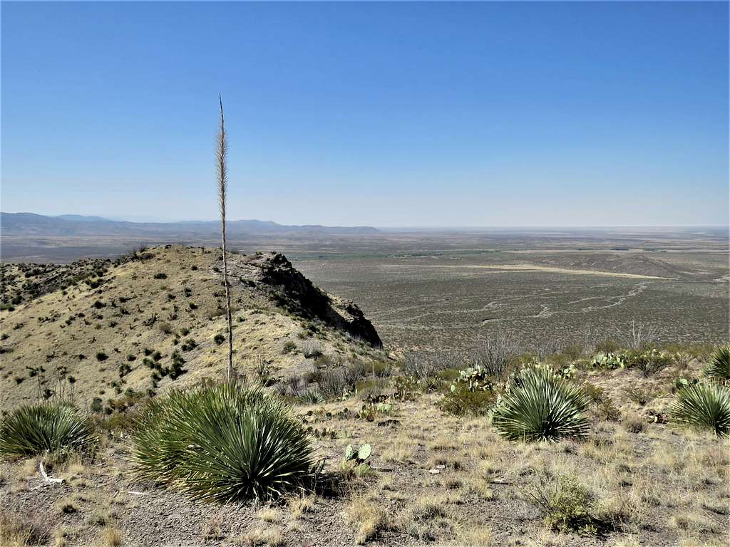
Began to go down the grassy slopes until I was at the bottom of Crawford Canyon.
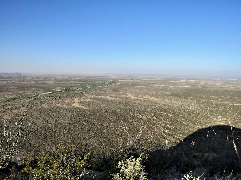
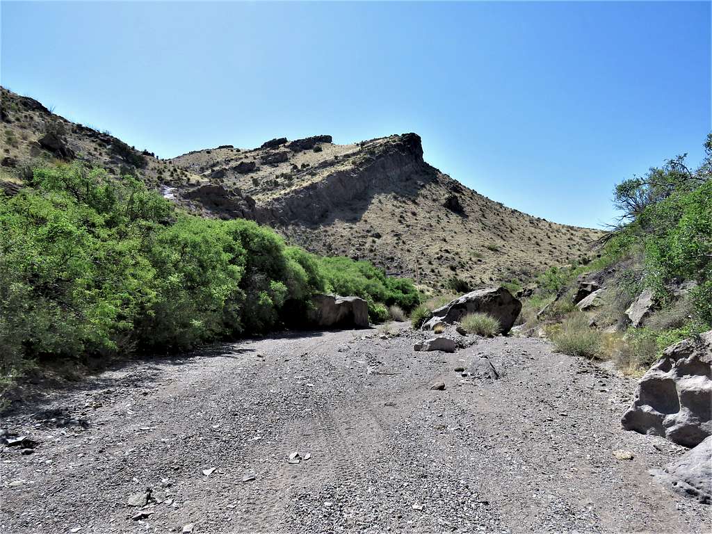
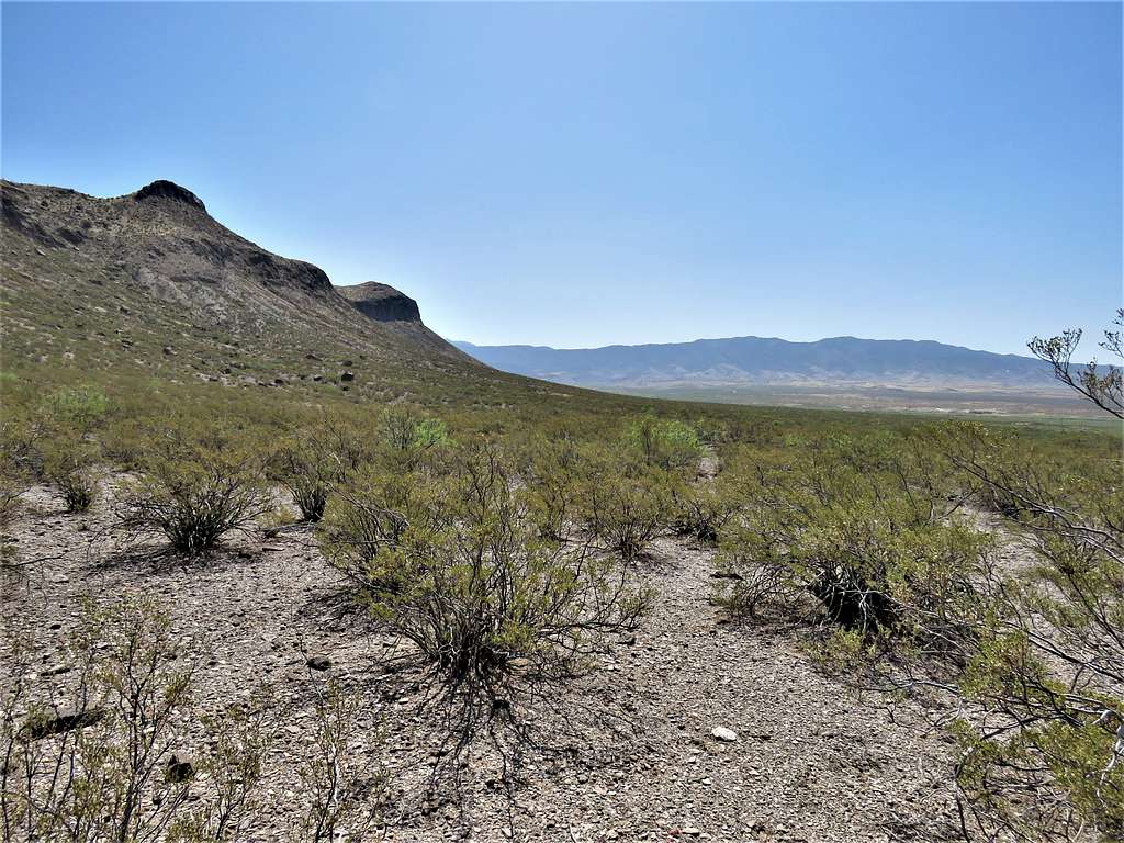
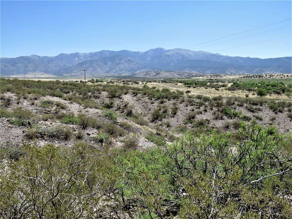
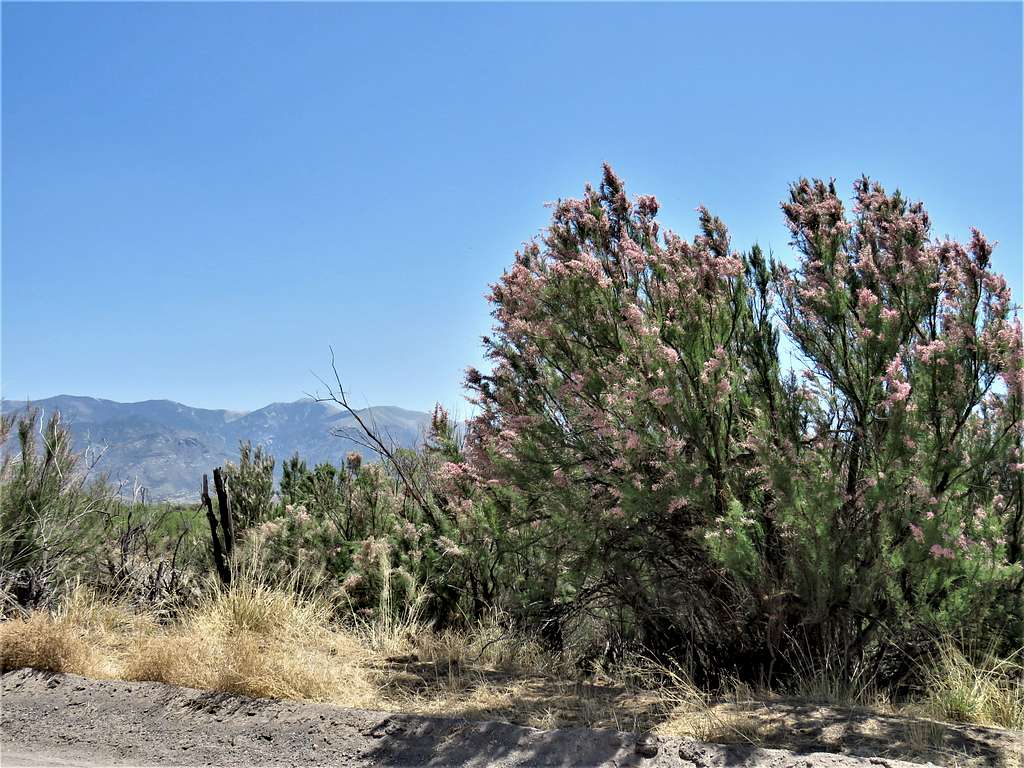
At the mouth of the canyon, went through a gate (to keep vehicles out of the canyon I suppose) and was then on the desert plain (6.67 miles). Turned southeast and began to walk back toward the Chapel where I had parked. Suddenly came across a barbed wire fence. Was able to easily crawl under it. The plain was covered by creosote bushes. In most places, I could walk freely, but there were many places where I was forced to whack my way through. Despite pants and long sleeves, I did suffer a few scratches. The going became long and slow. The many small drainages that appeared on the plain, made me even slower. Views of the plain and The Palisades.
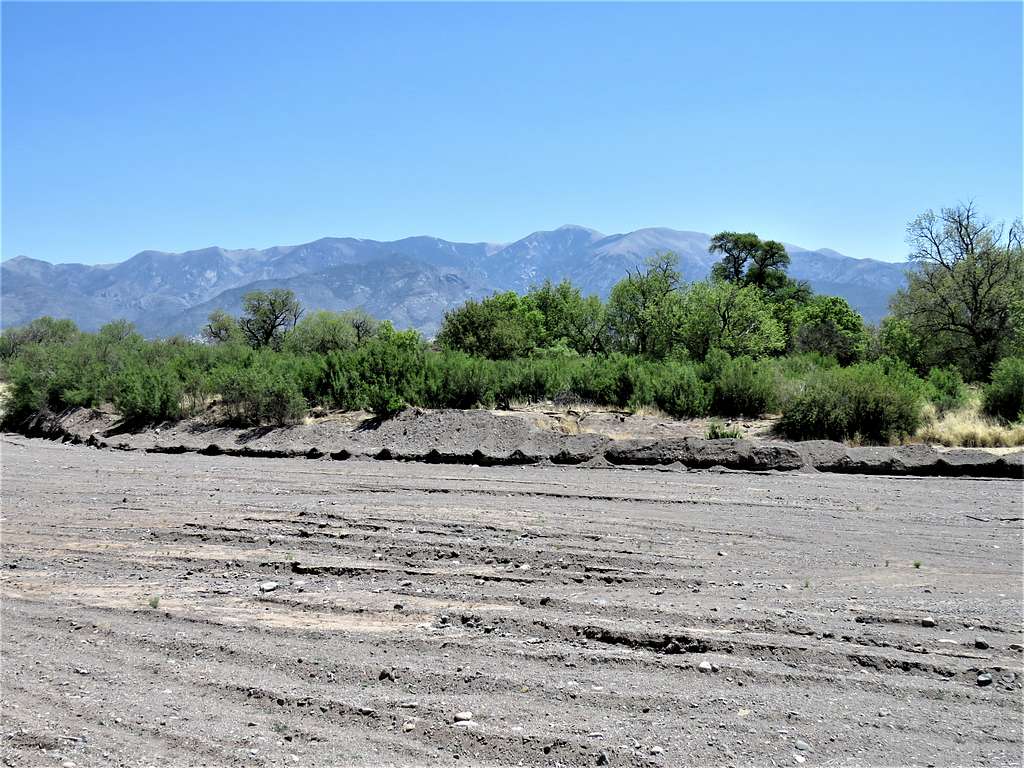
Was so glad when the frustrating bushwhack was finally over as I reached the road. More views of Sierra Blanca.
Reached my Jepp at 12:05 PM and 9.08 miles. After eating and drinking, I went to visit the chapel. Was surprised to see that there was still nobody there. The Chapel had been left alone in the middle of the desert.