Overview
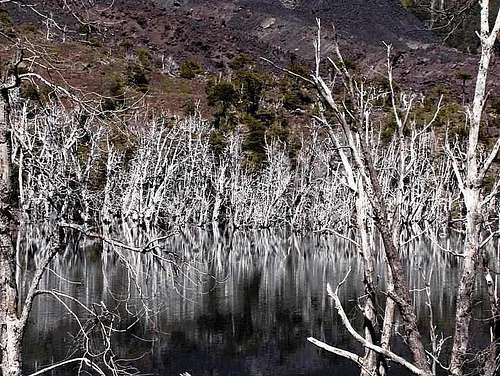
![Dead forest northeast of Lonquimay]() Dead forest northeast of Lonquimay. I presume these trees were killed by the eruption.
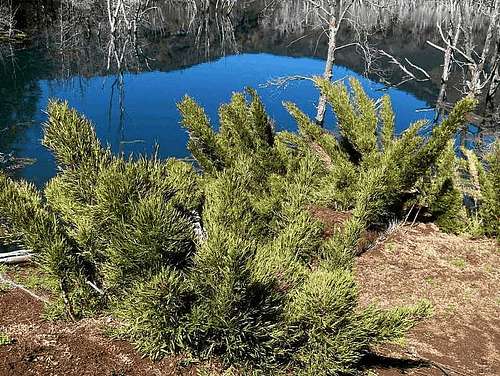
Dead forest northeast of Lonquimay. I presume these trees were killed by the eruption.![New growth after the 1988-1990 eruption]() New growth
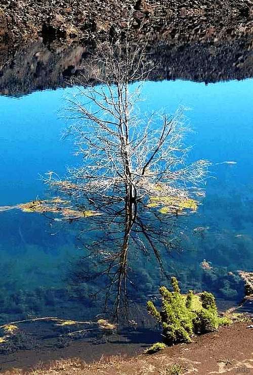
New growth![Drowned tree]() Drowned tree
Drowned treeIn December 2005 I went to South America for the first time. Knowing hardly any Spanish and still in my early days of exploring the great outdoors, I joined an organized hiking trip to Chile and Argentina. Our first hike was four days, around Lonquimay, a volcano that had erupted as recent as in 1990.
The signs of the eruption were still fresh. To the northeast, a long, barren swath of lava covered the landscape. We didn't cross it. In fact, I think it would have been quite dangerous to try, considering the extremely rugged terrain and sharp volcanic rocks. As we hiked around it, in various places the lava deposits had cut off small valleys, creating little lakes with strange colors. I imagine that minerals leaking out of the volcanic rocks were the cause of that, including some heavy metals perhaps. We didn't take water from those lakes.
The paddle points at Lonquimay. To the northeast, the large lava flow left by the 1988-1990 eruption has left a big scar on the landscape. Northwest of Lonquimay lies Tolhuaca, another volcano of about the same height. It's either dormant or extinct. The Lonquimay circuit crosses the saddle between the two.
Click here for a larger map.
External Links
Global Volcanism Program | Lonquimay
Comments
No comments posted yet.