Add Heading Here
My climb was on December 5th, 2015, and it started with picking up a backcountry permit from the Forest Service rangers in the bar of the Agassiz Lodge. They gave about a 10 minute spiel on winter safety and the equipment you should have (beacon, shovel, probe, emergency shelter, etc) and about avalanche danger. I was a little worried since I hadn't brought any of that, but found out on the trail that it was unneeded. I was also hoping to pick up a trail map there in the gift shop, but all they had were ski area maps, which didn't include the trail to the peak.
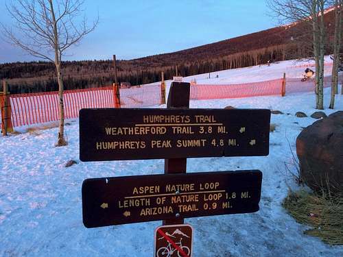
I drove back down the road, parked at the trailhead below the lower lodge, and started hiking. You have to hike across the ski run (bunny hill) to the other side where the trail picks up. There are signs on the far side of the ski run for the trail, but they were a little tough to see from the trailhead. Here's a couple pictures.
The trail switchbacks through the trees for about 3.5 miles. The trail was very easy to follow since it was packed from many previous hikers and snowshoers. I hadn't brought my crampons, and they would've been a little helpful, but just a good pair of winter hiking boots worked for me. Other people on the trail wore Yak Trax that probably were helpful gripping the packed snow/ice.
After about 3.5 or 4 miles, you reach a steep section that leads up to the saddle between Agassiz Peak and Humphreys Peak.
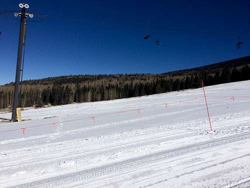
Looking south from saddle towards Agassiz Peak and top of Snowbowl
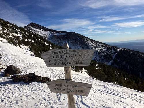
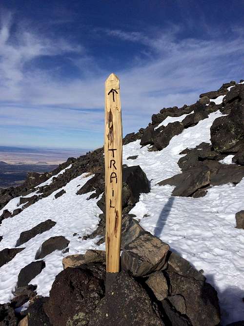
From the saddle, just continue north on the crest of the ridge. You may momentarily lose the trail if there's snow covering it, but if you just keep close to the ridge you'll eventually see some trail marker posts in piles of rocks.
You'll have to hike over two false summits (first one is insignificant), but the hike from the saddle to the peak is pretty easy and only about a mile. And then you're there at Arizona's high point! It was pretty windy at the top, and therefore the temp with the windchill was probably around 10 degrees. But it was an awesome view!
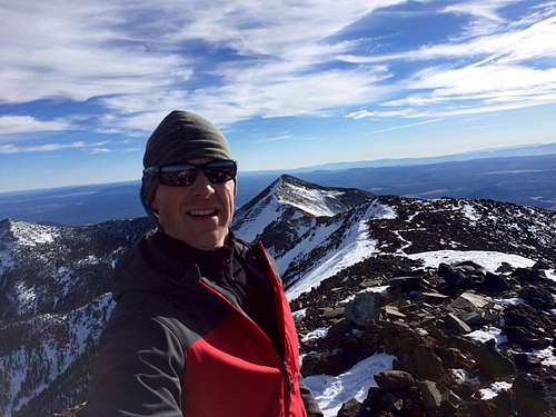
Looking south from Humphreys Peak 12,633'.
I started hiking about 10 am, and was on the peak by 3 pm, with frequent stops to catch my breath from the altitude. I was down at the bottom at 5:15pm, and since the ski hill was closed by then, I just walked down the most direct route which was down the middle of a ski run! The sun was just setting, so it turned out to be perfect timing. It was a great day, adding Humphreys to my list as my 13th highpointer, and topped off by a delicious burger in Flagstaff at Mama's Burgers. Hope this helps you plan your trip!
~Cale


Comments
Post a Comment