
Comments
No comments posted yet.
|
|
Trip Report |
|---|---|
|
|
35.34642°N / 111.67795°W |
|
|
Download GPX » View Route on Map |
|
|
Sep 7, 2021 |
|
|
Hiking, Mountaineering |
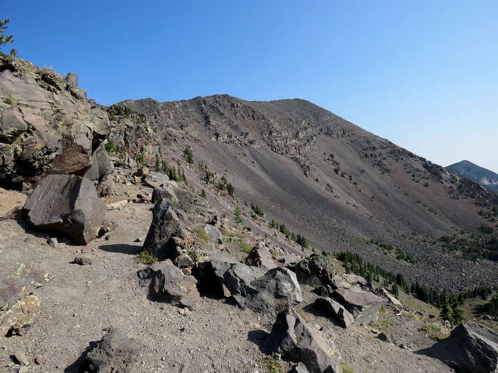
The 12633 ft Humphreys Peak is the highest mountain in Arizona. A look at the topographic map makes it appear as if Humphreys Peak is the highest point on the rim of a prehistoric volcano that has collapsed. At least one internet source says that the volcano is estimated to have been 15000-16000 feet tall. Other nearby peaks such as Agassiz (12356 ft) and Fremont (11969 ft) Peaks seem to be high points on the same rim.
I knew that climbing Humphreys Peak on the Labor Day Weekend would mean running into many other hikers so I had decided to climb the lesser visited Agassiz or Fremont Peaks. A few weeks before my hike, I learned that to protect the environment, climbing Agassiz or Fremont Peaks were not allowed when no snow present. In the end, Kris and I climbed Humphreys Peak on the Tuesday after Labor Day Weekend via its standard trail to the west. I actually made it to the summit before Kris. Shortly after leaving, I saw Kris coming up and went back to the top with him. I can say that I climbed Humphreys Peak twice.
Trail Head Elevation: 9270 ft
Summit Elevation: 12633 ft
Hike Length: 10.52 miles
Total Ascent: 3492 ft
Tuesday September 7, 2021
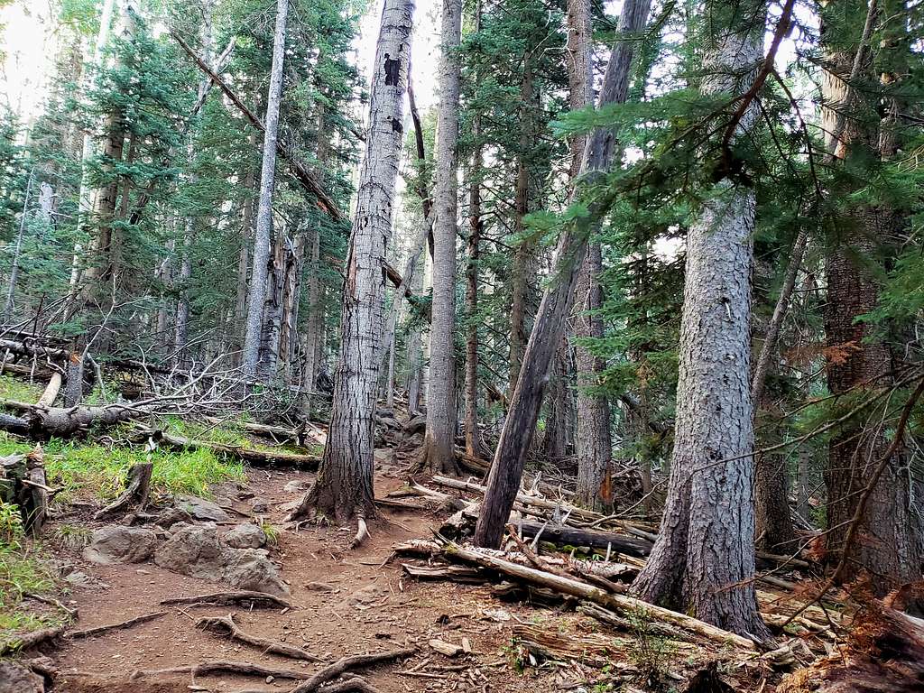
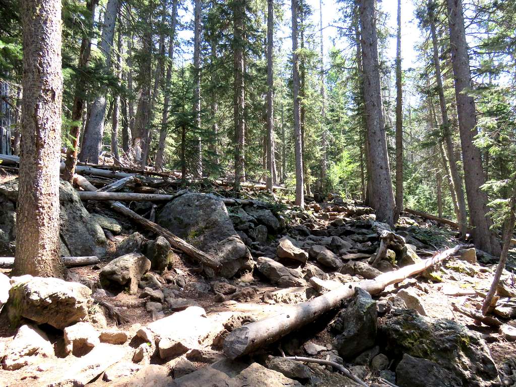
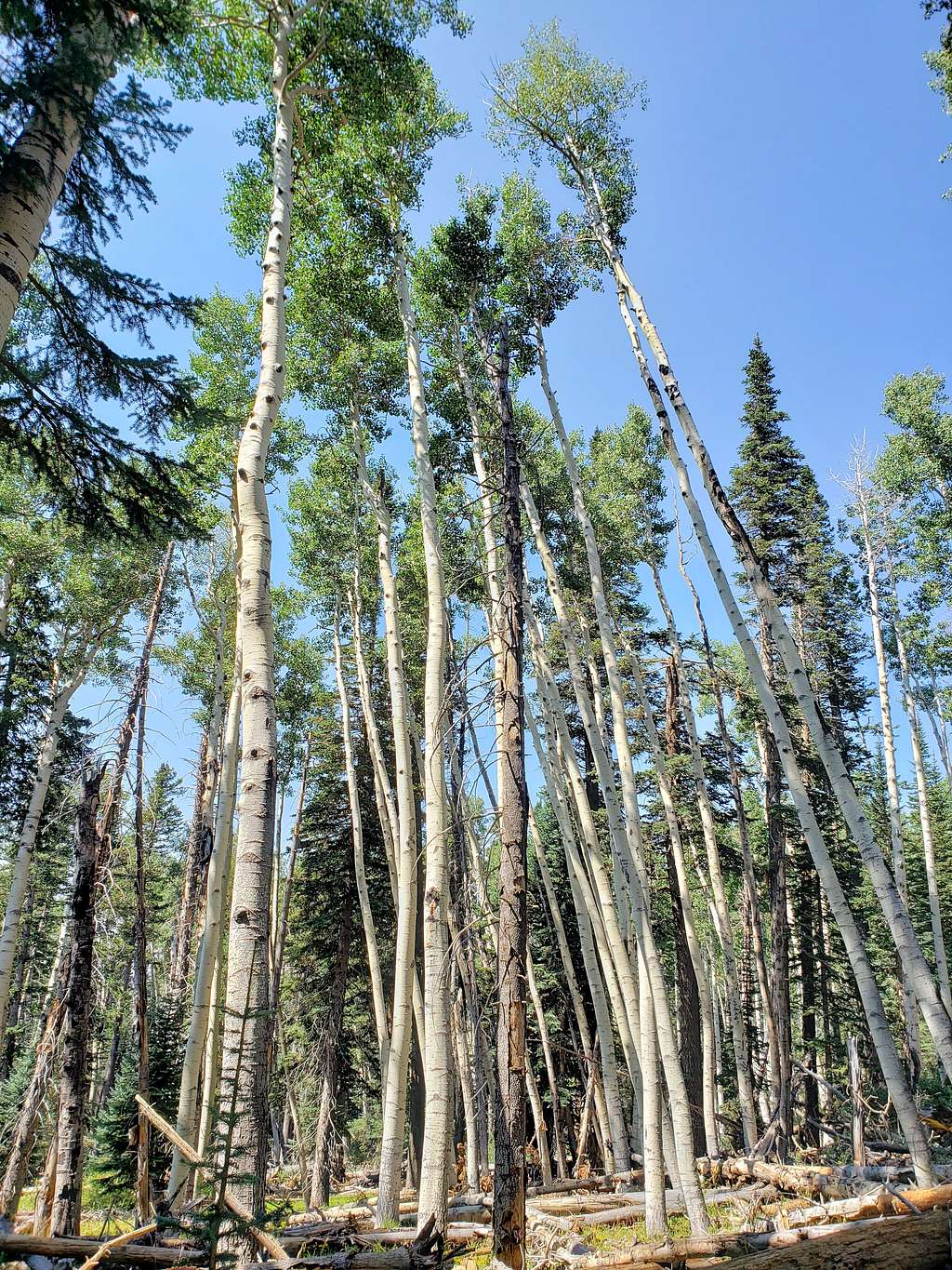
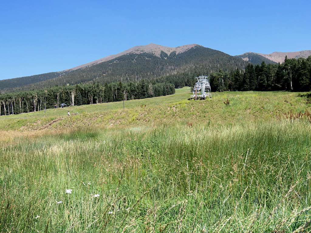
Kris and I drove to the Arizona Snow Bowl Trailhead on the western slopes of Humphreys Peak. Started our hike at 6:05 AM when it was 46 degrees F. The trail traversed the bottom of a ski slope and then entered a forest of tall Aspen and Conifer trees making a number of long switchbacks going up the slopes. Boulders covered the trail surface in many places slowing down the hiking speed.
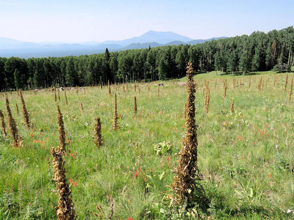
The forest began to thin out at around 11400 ft elevation. We reached the 12000 ft saddle between Humphreys Peak and Mt. Agassiz at 8:46 AM and 4 miles of hiking. Summit from the saddle.
Kris said he wanted to go slower so I went ahead faster and called him every 30 minutes on the walkie-talkie.
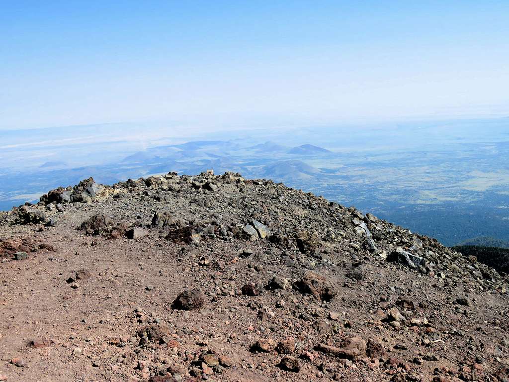
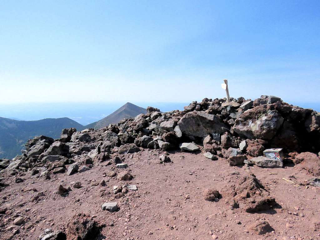
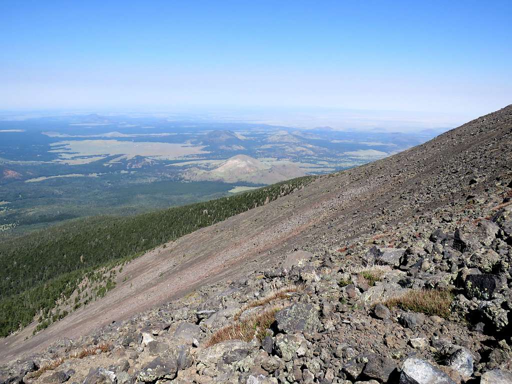
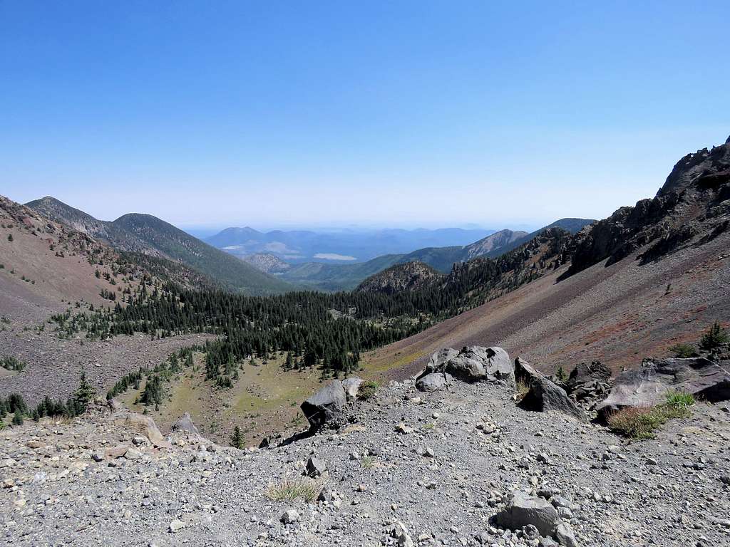
Past a couple of high point, I reached the summit at 9:50 AM and 5.14 miles of hiking. Five to six people were on the summit and for the duration that I was up there, more people came and went. Sat there to eat and enjoy the views. The weather was very pleasant. Looking west, Kendrick Peak seen.
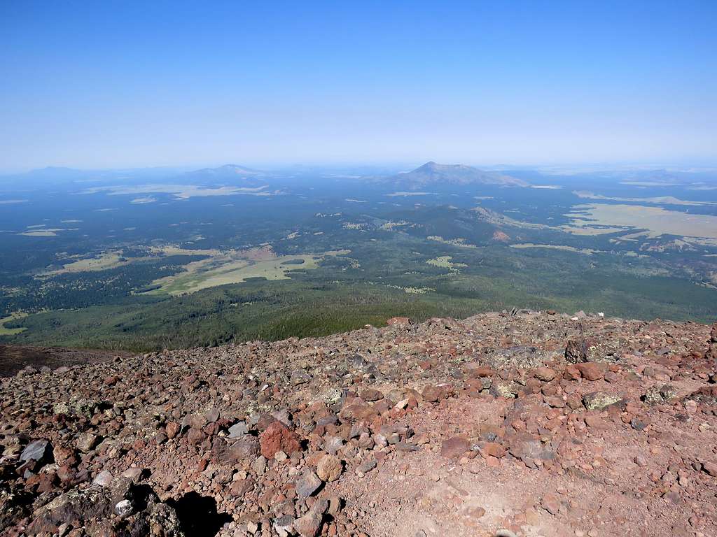
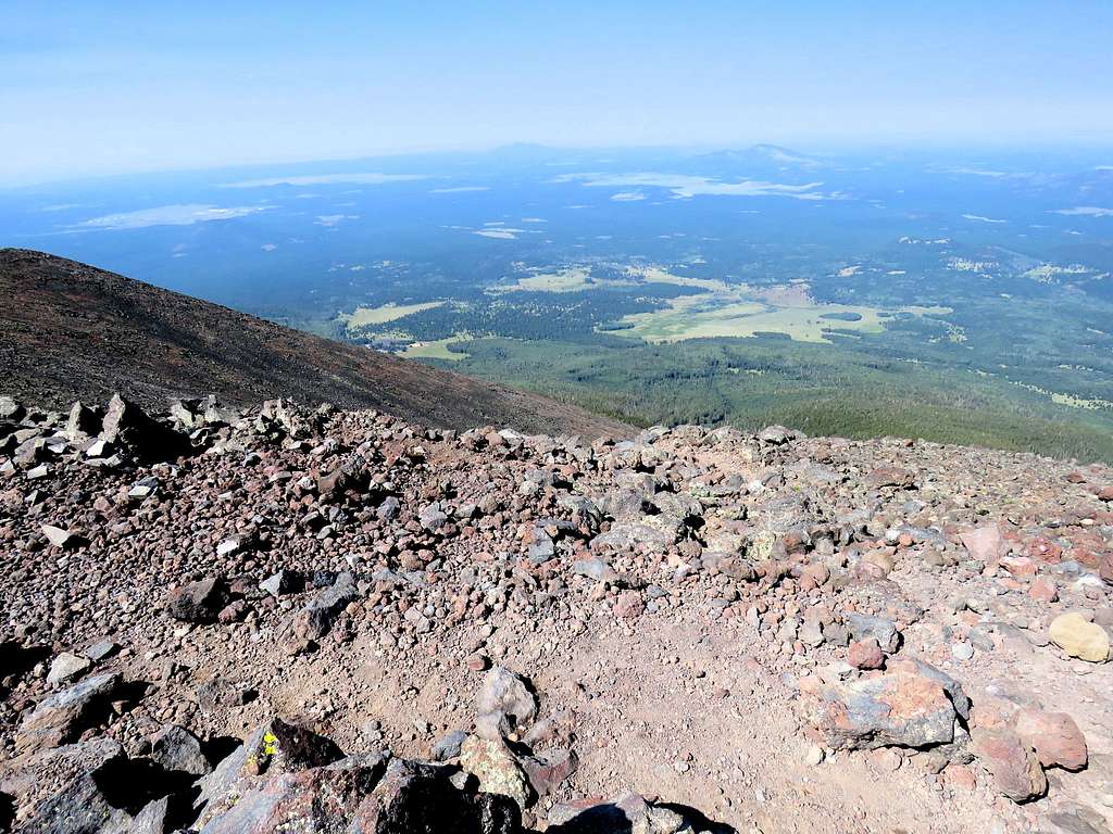
Looking north toward Grand Canyon. Many volcanic cinder hills seen.
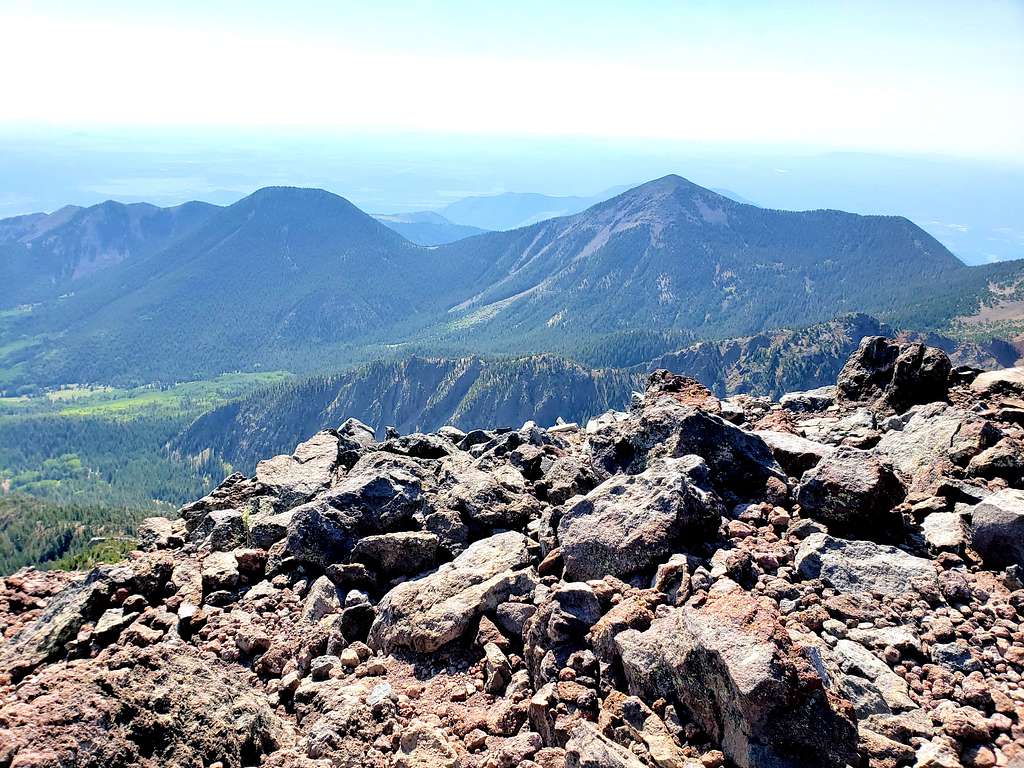
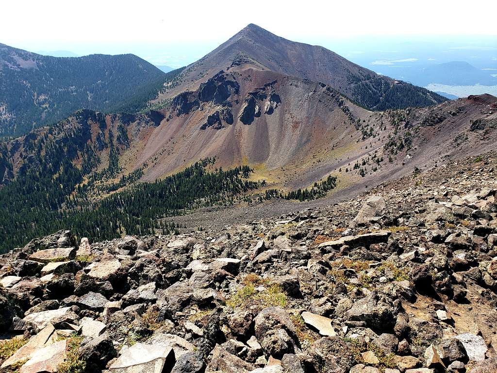
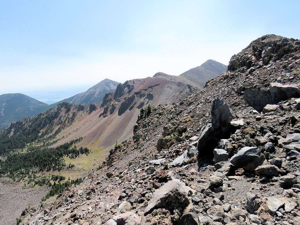
View south to Agassiz Peak.
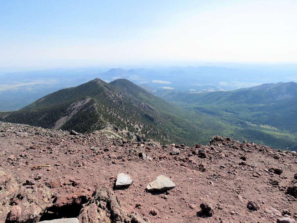
West, the distant O’Leary Peak and the closer Abineau & Rees Peaks.
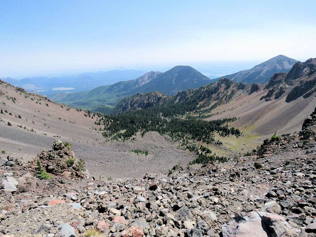
Southeast at Fremont & Doyle Peaks.
Looking southwest.
Radioed Kris from the summit but there was no connection. He later said the battery had died. Left around 10:20 AM going back the way I had come. After only a tenth of a mile, I saw Kris coming up, so I stood there until he reached me and I accompanied him back to the summit again then left at 10:45 AM.
Going down toward the 12000 ft saddle, we ran into people hiking up fairly frequently.
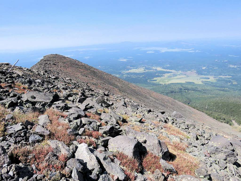
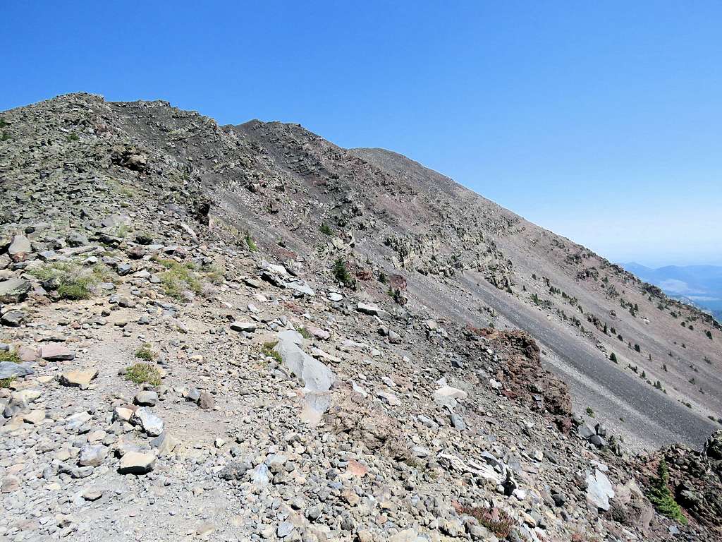
A look back at the summit.
Looking east into Inner Basin.
Reached the 12000 ft saddle at 11:45 AM, 6.44 miles. Below the saddle, saw only 2-3 other groups of hikers.
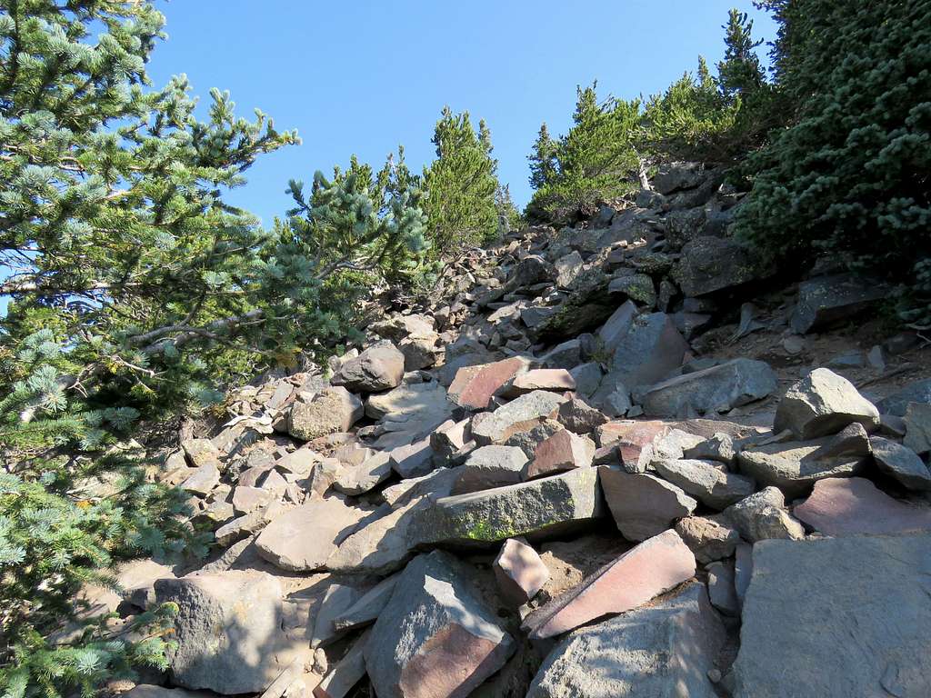
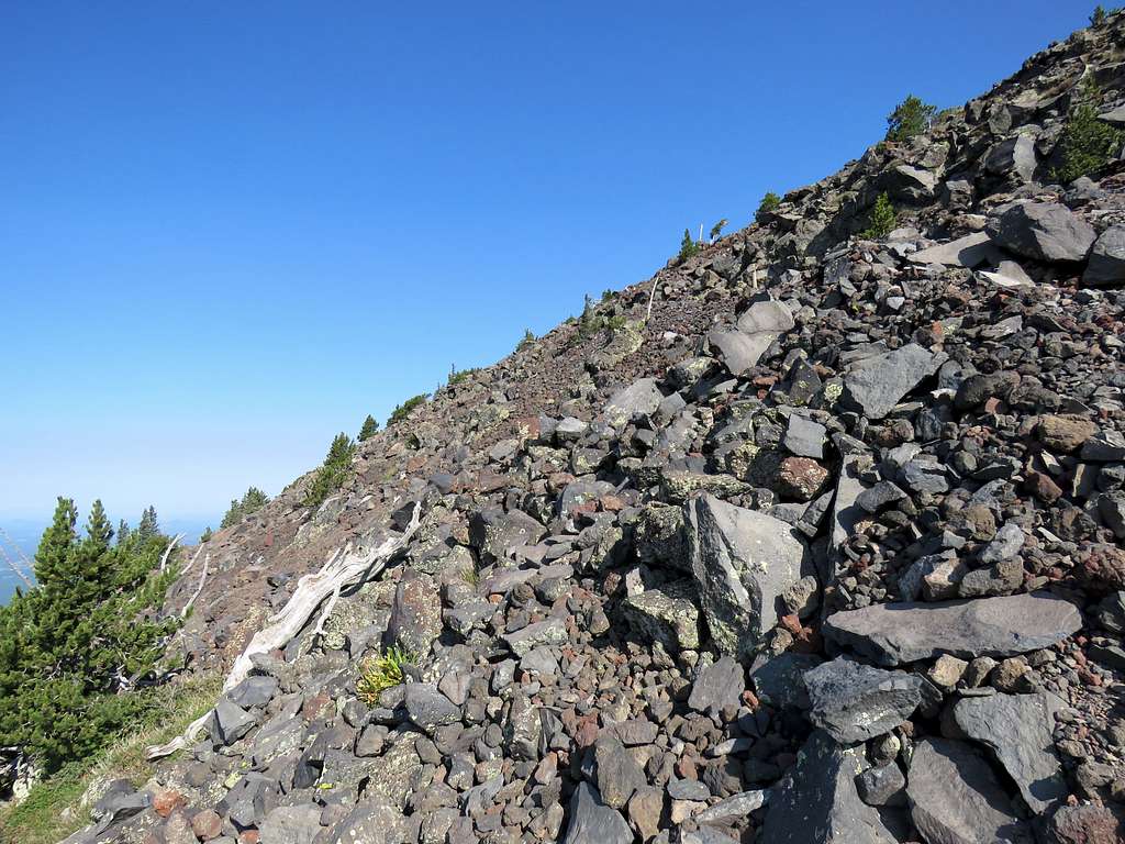
The rocky trail.
Pretty Aspens near the end.
Kendrick Peak from the ski slope.
Humphreys Peak from near trail head.
Reached the car at 2:10 PM and 10.52 miles. Back in Flagstaff, it was up to 90 degrees F.