
-
 2968 Hits
-
 71.06% Score
-
 1 Votes
|
|
Route |
|---|---|
|
|
46.71000°N / 12.44000°E |
|
|
Hike |
|
|
Half a day |
|
|
Walk-Up |
|
|
Approach
See the Getting There Section of the main page. The trailhead is at the Leckfeldalm meadow, which you can reach from Panzendorf east of Sillian.Route Description
- Start altitude: 1925mm
- Summit altitude: 2393m
- Prevailing exposition: N
- Type: 4h over paths
- Protection: marked
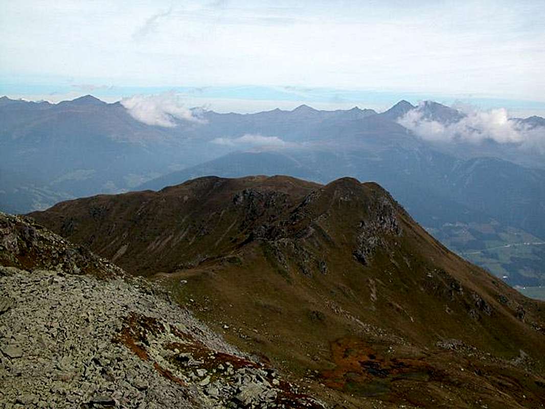
This is the roundabout way to Zenzerspitze but nonetheless a very popular and beautiful one. Actually for this route Zenzerspitze rarely is the final destination. Hikers usually take the descent along the Zenserspitze Ridge and thus come close to the mountain.
From Leckfeldalm follow trail No 471 towards Füllhorn and Sillianer Hütte (marks, signposts). The trail can even be used by mountain bikers, it is in a fairly good condition and rather wide. At Füllhorn you reach the Carnic Alps Main Ridge. Turning east you have several possibilities to head onwards: an old WW I trail runs along on the northern (Austrian) side of the border; the corresponding Italian trail can be used in the south; the most beautiful trail (though unmarked) runs along the top of the ridge, always following the border, which is marked by milestones (rather km-stones).
You cross the summits of Hochgruben (2538m), Hornischegg (2550m) and Hollbrucker Spitze (2580m) before you reach the WW I cemetery at Hochgränten pass. Turn north here (sign towards Hollbruck) and descend to a bivouac hut (close to a little lake). Here you meet the Ochsenboden Route, which you follow backwards in direction of Hollbrucker Spitze. You get to trail 15, which you follow to the north to get to the Zenzerspitze summit block. Cross Over to the Zenzerspitze South Ridge which you follow to the summit.