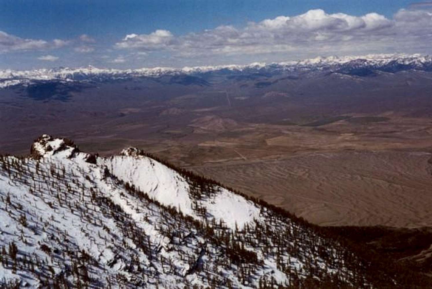
Looking towards McKay, ID from the approach (Memorial Day Wknd. '02).
Details provided by garchov: The road in the distance is Trail Creek or Summit Creek road depending on which side of the pass you're on. It divides the Pioneer Mtns on the left and the Boulder Mtns on the right. I believe the high point on the left in this view is Devil's Beadstead East.


