
|
|
Mountain/Rock |
|---|---|
|
|
46.46346°N / 10.84019°E |
|
|
Hiking, Scrambling |
|
|
Summer, Fall |
|
|
8100 ft / 2469 m |
|
|
Overview
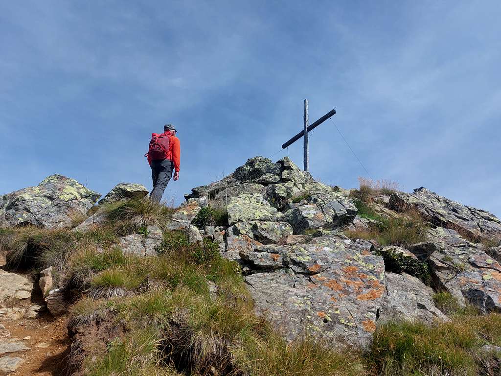
Monte Chiodo/Nagelstein 2469 m
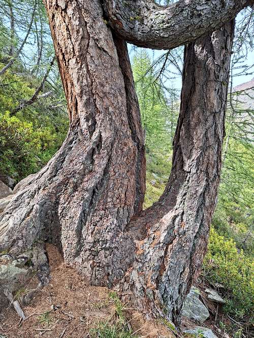
Monte Chiodo or Nagelstein 2469 m is a minor peak belonging to the Ortles-Cevedale group and located on the edge of the Parco Nazionale dello Stelvio. The long ridge which is located NE of the Giogo di Montechiesa and separates the Montechiesa Valley from the Fontana Bianca valley ends above the village of Santa Gertrude in Val d'Ultimo with the sharp summit of Monte Chiodo.
The classic climb to the summit starts from Lago di Fontana Bianca/Weißbrunnsee 1900 m, reachable via a narrow asphalt road from Santa Gertrude/St. Gertraud in Val d'Ultimo. Another itinerary with a greater difference in altitude starts from Santa Gertrude 1504 m and runs along the NE ridge of the mountain
Getting There
There are two starting point to climb monte Chiodo:
- Lago di Fontana Bianca-Weissbrunnsee
- Santa Gertrude
Road access
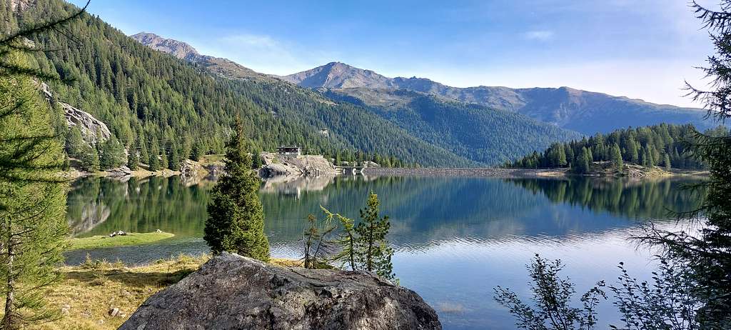
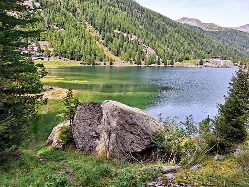
From Autobrennero, exit at Bolzano Sud. Then continue on the Bolzano Merano highway in the direction of Merano until the Merano Sud exit (Lana industrial area). Continue towards Lana and then the "Val d'Ultimo" sign. At the entrance to Lana, turn right towards Val d'Ultimo. The valley is approximately 40 km long. After a few hairpin bends you arrive at S. Pancrazio, then there are 4 tunnels, then Santa Valburga, S. Nicolò and Santa Gertrude. The last three villages form the Municipality of Ultimo. Continue along the road, which becomes very narrow, up to Lake Fontana Bianca (Weissbrunnsee) which is located approximately 6 km from S. Gertrude. The path to Monte Chiodo starts from the car park near the restaurant and runs along the lake in the first section.
Normal Route from Fontana Bianca
Monte Chiodo Normal route report
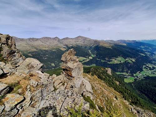
Summit altitude: 2469 m
Difficulty: hiking, an easy stretch exposed
Vertical gain: 560 m from the parking lot at Lago di Fontana Bianca
Starting point: Lago di Fontana Bianca
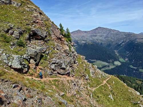
A panoramic route on various terrain, a bit exposed in the upper section
The shortest itinerary to climb the summit of Monte Chiodo begins from Lago di Fontanabianca 1872 m following a dirt road (path 101) to the Fiechtalm, which runs alongside the lake in the woods, shortly reaching a crossroads where you take a steep path on the right with signposts to the Malga dei Pini/Fiechtalm hut.
You then climb steeply on this forest path reaching the Malga dei Pini 2034 m. Also the path 107 passes the Malga dei Pini which, coming from Santa Gertrude, continues towards the Lago Pescatori and Collecchio. From the mountain hut follow the path 101, at a crossroads leave the path to Collecchio on the right and continue following the signpost to Monte Chiodo/Nagelstein going up into the woods and then across pastures and shortly reaching the small Fiechtsee lake. Shortly afterwards we cross the path 104 which leads to the Oberweissbrunn alm.
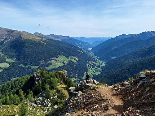
You continue with a moderate slope in the woods and then on a gravel track that leads halfway up the slope to a saddle located at 2200 meters above sea level. From the saddle follow the path 109 to the right to Monte Chiodo, climbing steeply on an earthy and stony track until you come across a stony stretch with steps equipped with a metal chain. After passing the short equipped stretch, you climb steeply again on a stony track up to the summit. Along the route you also have beautiful views of the Ötztal Alps, Val d'Ultimo and the mountains of the Gioveretto/Zufrittspitze group.
Descent: reversing the same route
Red Tape
No fees no permits required. Monte Chiodo is located on the edge of the Parco Nazionale dello Stelvio.
When to Climb
From June to the end of September
Accomodation
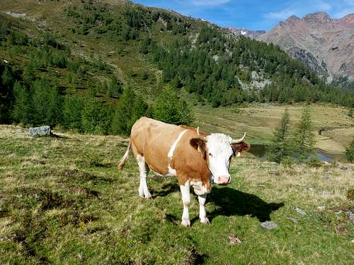
Different possibilities of accomodation in Val d'Ultimo.
Bibliography
"Ortles-Cevedale" by Gino Buscaini - Collana Guide dei Monti d'Italia TCI-CAI
Tabacco n. 08 - Ortles-Cevedale 1:25.000
Kompass n. 072 - Parco Nazionale dello Stevio 1:50.000