-
 25651 Hits
-
 81.18% Score
-
 13 Votes
|
|
Route |
|---|---|
|
|
44.66777°N / 7.08943°E |
|
|
Mountaineering, Trad Climbing |
|
|
Summer |
|
|
Most of a day |
|
|
UIAA II |
|
|
Overview
Monviso Normal route (South face)
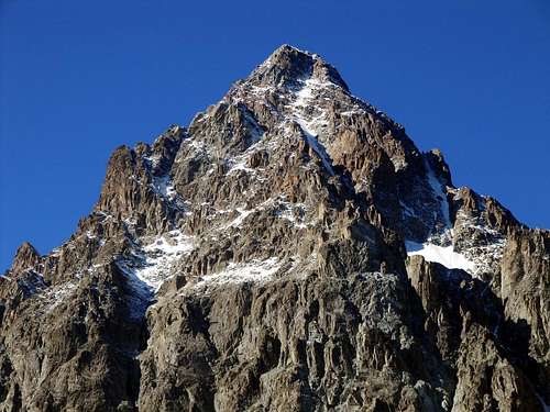
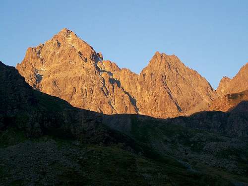
Monte Viso 3841 m, more frequently called "Monviso", belongs to the Southern Cozie Alps and is the highest peak of all the Cozie Alps. Located on the watershed Vallanta - Po, on the border ridge between Italy and France, it stands out among all the mountains of Piedmont in reason of its unmistakable pyramidal shape and its grandeur, like an isolated giant among a crown of far lesser peaks.
Because of these strong characteristics, the Monviso is perfectly visible and identifiable even from great distances, such as the Po Valley. The panorama is vast, with a 360-degree turn.
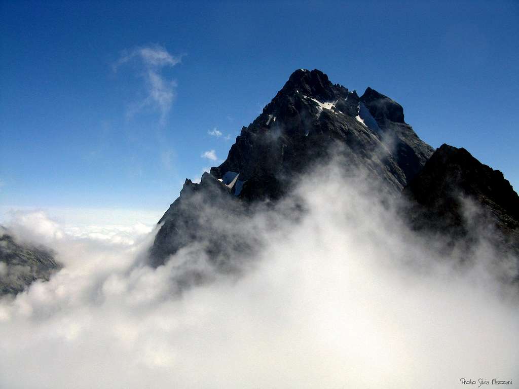
The standard route is located on the South face on the Italian side; it is also called Via Mathews by the name of one of the first summiters, the Englishman William Mathews. It is a frequented route, which has at most some rock passages that do not exceed the III degree UIAA, but in any case it should not be taken lightly in reason of the high mountain environment and the possible presence of snow or ice even in summer after periods of bad weather.
History
The first ascent of this majestic mountain was carried out by the party composed by the British William Mathews and William Jacob with the guides Jean Baptiste and Michel Croz in the year 1861, August 30th. The itinerary of the first summiters is still the current Normal route
Getting there
From Torino to Saluzzo (56 km from Torino), here take the Po Valley reaching Paesana, Crissolo and Pian del Re 2020 m, where the road ends. Here it's situated the spring of the Po river, that is the longest river in Italy.
Approach
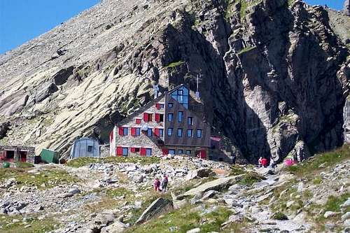
From Pian del Re 2020 m you have to go to the Refuge Quintino Sella. The path this hut is easy and nice; no problem to reach it, a lot of informations along the path. The difference in level to climb Monviso from Pian del Re is considerable (1821 m), so to take it easy it's convenient to stay overnight in the hut (booking is mandatory) and the second day to climb the Monviso starting early in the morning.
Route Description
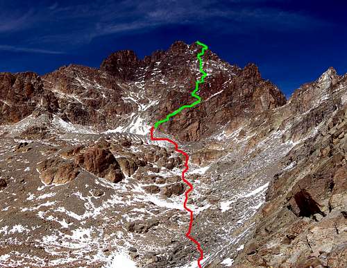
Monviso Normal Route from Refuge Quintino Sella (South side)
Difficulty: PD (Alpine scale)
Difference in level: 1185 m from Rifugio Quintino Sella
A worthwhile route up the highest peak of the Alpi Cozie. The rock difficulty doesn't exceed the III degree UIAA, but in any case the route shouldn't be taken lightly in reason of the high mountain environment and the possible presence of snow or ice even in summer after periods of bad weather. In case of snow pay attention, the face is very sliding. Along all the route from Bivacco Andreotti to the summit it's very useful to follow the yellow arrows. There are also very useful ring pegs along the climb.
Route description
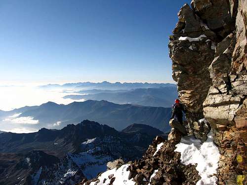
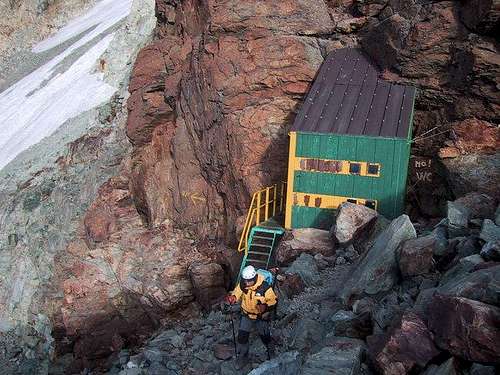
From the refuge Quintino Sella take the path to the South along the Lago Grande di Viso, turn on the right (West) to follow the path to Colle delle Sagnette. There are two different possibilities to reach it: you can go up along the couloir (dangerous because the falling rocks) or follow with exposition the narrow path on the right (chains in the most dangerous steps). From the Colle delle Sagnette there is an interesting sight on the South face and on the route you will follow. Follow the traces across broken rocks in the direction of a moraine, pass this hill on the right and go on to the Bivacco Andreotti (3225).
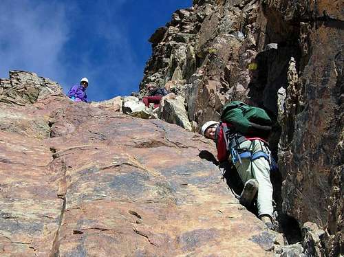
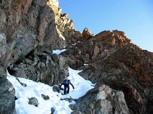
Next to the bivouac, the marked yellow path continues, going up the little rocks to the right, towards the modest tongue of snow (remains of the little Sella Glacier). At the end of the snowy section up a steep slope, reaching on the left some rocky ledges cutting the S wall, with red and yellow arrows to indicate the start of the route. Following the horizontal ledge to the left we soon reach a rocky wall at the foot of a waterfall that disappears in late summer. From here climb a smooth and inclined slab to reach a rocky ridge.
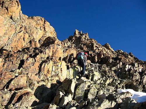
Follow it to the left. After this ridge head to the left to reach a gully, climb it arriving below a dihedral that forms on its left side a chimney. Climb the dihedral (peg with ring on site) or bypass it on the right side right. After the dihedral a ledge to the left leads us easily onto a terrace at about half of the wall named "Sala da pranzo". Continuing diagonally to the left with easy climbing following a long system of ledges and small rocky walls, we go up a crest and on easier rocks we arrive under a clear rocky spire of red color on the left and called "Duomo di Milano". A steeper stretch leads to a more important rock face. Avoid it on the right and reach a notch that leads to the base of a short scree slope on which you can find snow especially at the beginning of the season. Climb the slope or rocks on the crest to the right and gain a comfortable terrace. After a simpler stretch we reach a chimney called "I Fornelli". Climb the chimney to reach an easier section of the ridge below a typical pinnacle called "Testa d'Aquila". Going to the eastern base of the pinnacle make a crossing on a trail that crosses the steep Canalone Grande di Viso.
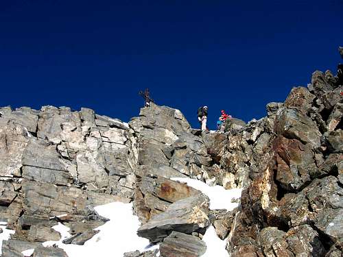
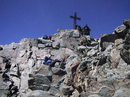
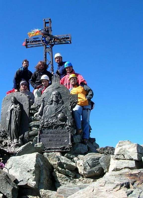
Taking care in the presence of snow, we finally get the solid rocks of the final section of the East ridge. On the left climb up the first easy rocky steps, then some more difficult moves in a sort of narrow rocky gully leading to the summit a few steps from the Iron Cross.
Descent: reversing the same route
Essential Gear
Helmet, rope, some spring-clip; crampons and axe are necessary at the beggining and at the end of summer
Red Tape
No fees no permits required. Winter closure of the Pian del Re road.
Hut
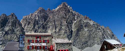
When to climb
From July to early September
Meteo
Guidebooks and maps
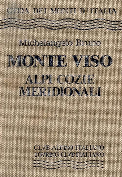
“Monte Viso – Alpi Cozie Meridionali” by Michelangelo Bruno – Collana CAI-TCI Guide dei Monti d’Italia
Maps
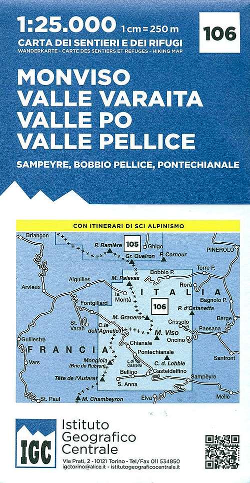
"Monviso-Valle Varaita-Valle Po-Valle Pellice" -IGC sheet 106 1:25000


