The 9735 ft Mt. Tallac rises to the southwest of California’s Lake Tahoe about 3 miles away from the closest shoreline and as such is a popular hiking destination. Most people approach Mt. Tallac starting at its trailhead to the northeast of the summit. We started at Glen Alpine Trailhead on the south side of Mt. Tallac because it allowed us to make a loop hike that would take us to the nearby Dicks Peak as well.
Dicks Peak
The 9974 ft Dicks Peak rises 2.85 aerial miles to the west of Mt. Tallac. A trail goes to a 9160 ft saddle to the east of the summit. Reaching the summit requires some degree of off trail rock climbing. I turned back at an elevation of 9650 ft.
Trip Report
Hike Length: 15.81 miles
Total Ascent: 4611 ft
September 4, 2023
Kris and I left the vacation rental house in South Lake Tahoe at 5:40 AM (sunrise 6:30 AM). We drove through the narrow one lane paved neighborhood road on the east shore of Fallen Leaf Lake to reach Glen Alpine Trailhead 6550 ft elevation. Started our hike at 6:27 AM.
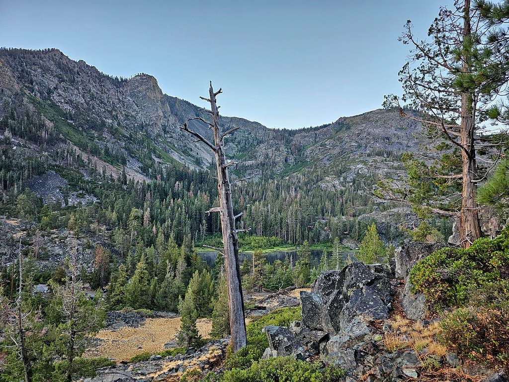
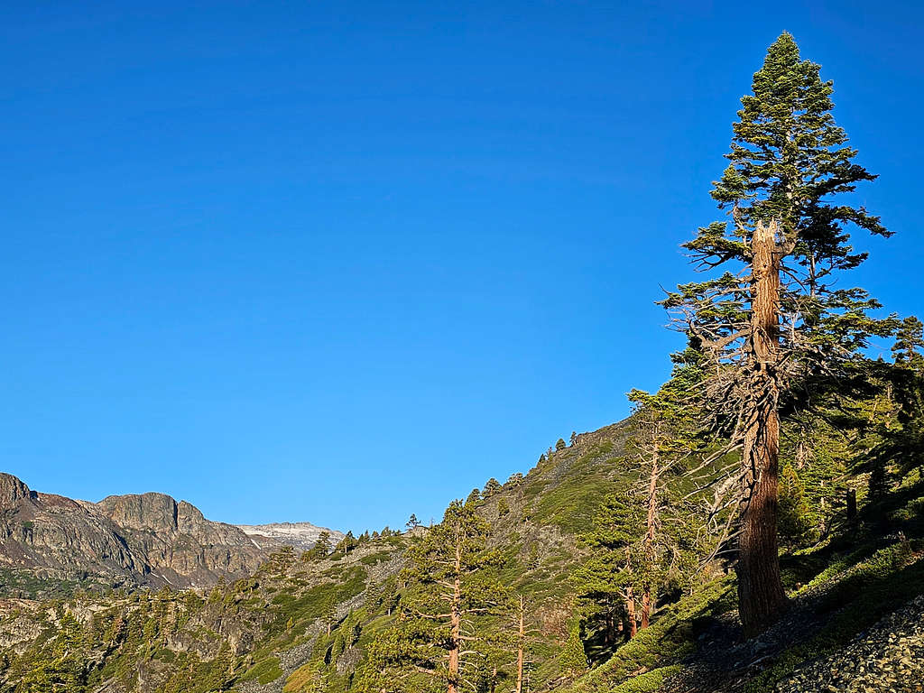
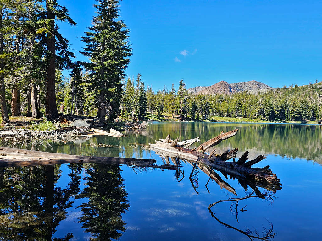
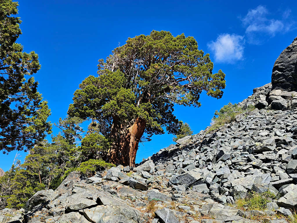
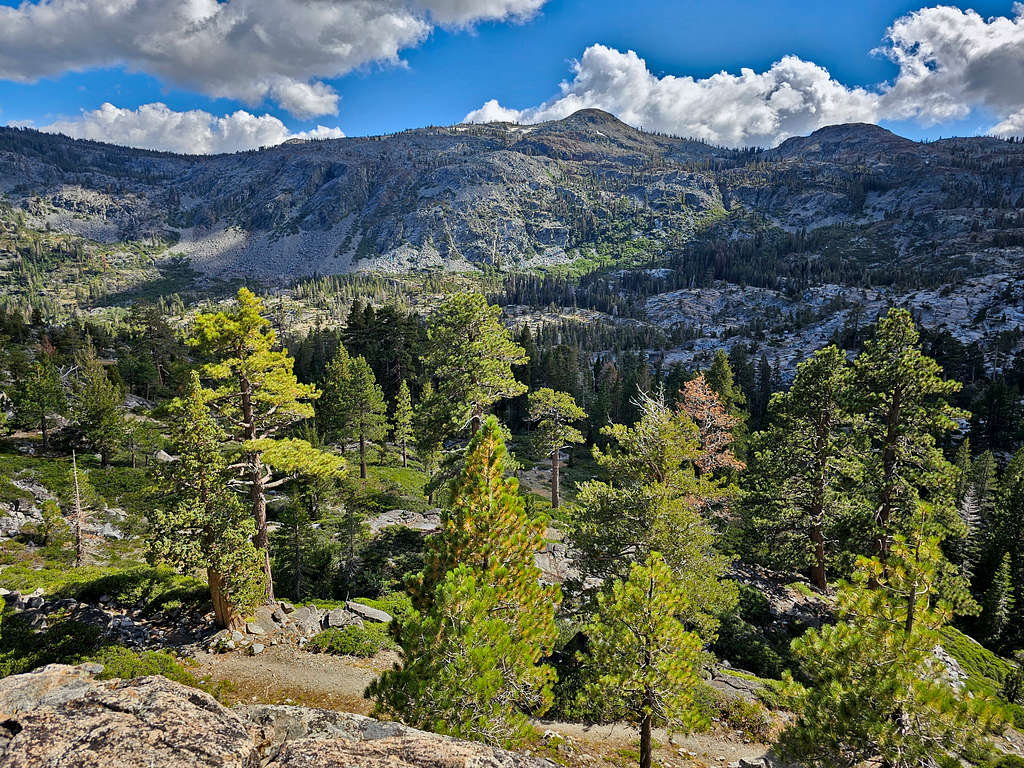
Got on a trail that went up traversing a talus field on the north side of the Glen Alpine Creek. View of Lilly Lake.
Lilly Lake
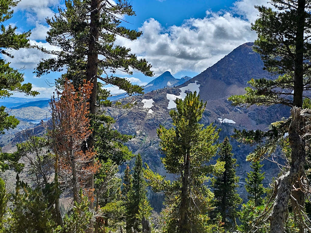
Views of Cracked Crag and Mt. Price.
Cracked CragCracked Crag plus Mt. PriceCracked Crag plus Mt. Price
Soon Kris said that he wanted to go at his own pace. He gave me the hand-held radio and we decided to keep in touch every hour. I let him know that the day will be very long, and he might end up waiting for me for hours. As expected, we lost radio contact after I was on the summit of Mt. Tallac.
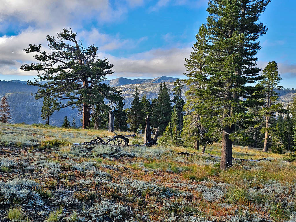
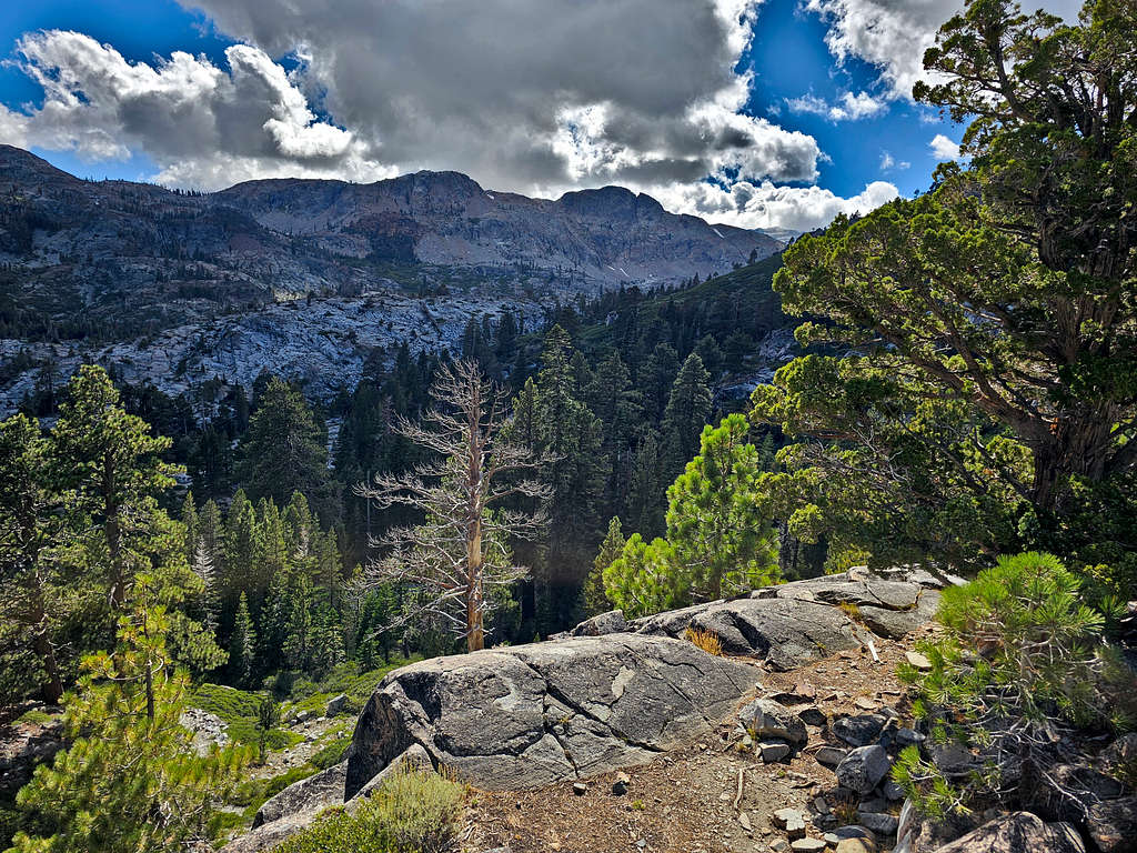
Continuing up the trail.
Glen Alpine CanyonGlen Alpine Canyon
Looking back east at Freel Peak and Jobs Sister.
Freel Peak and Jobs Sister
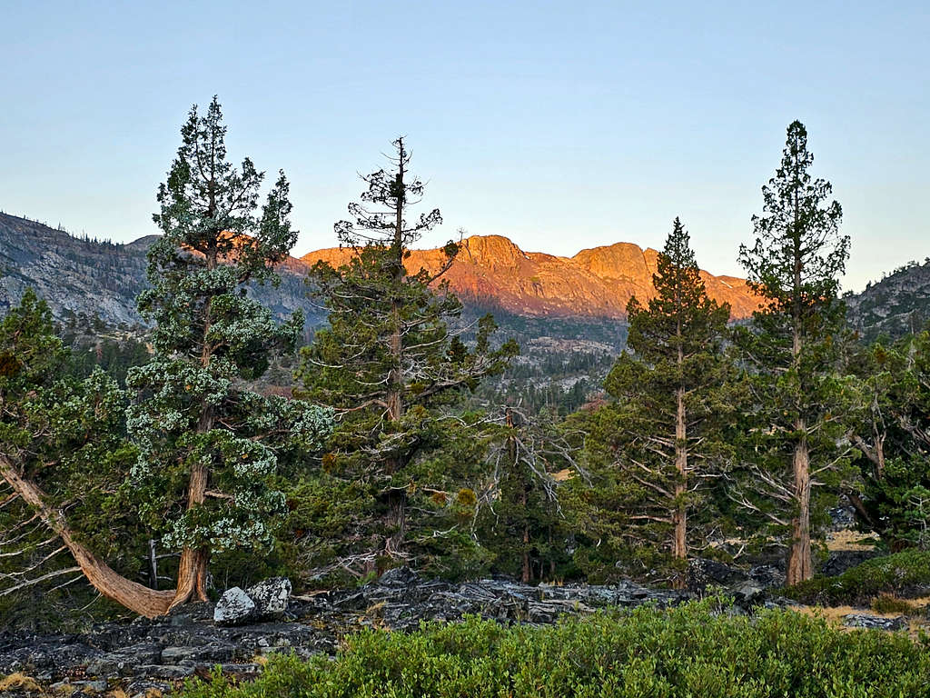
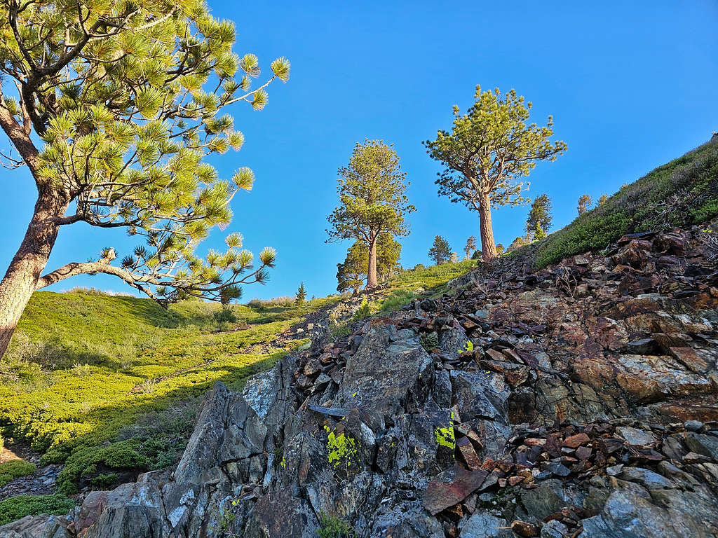
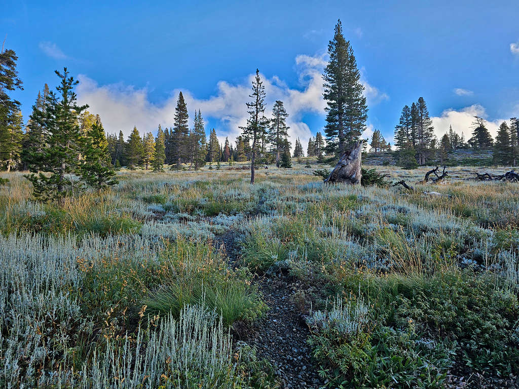
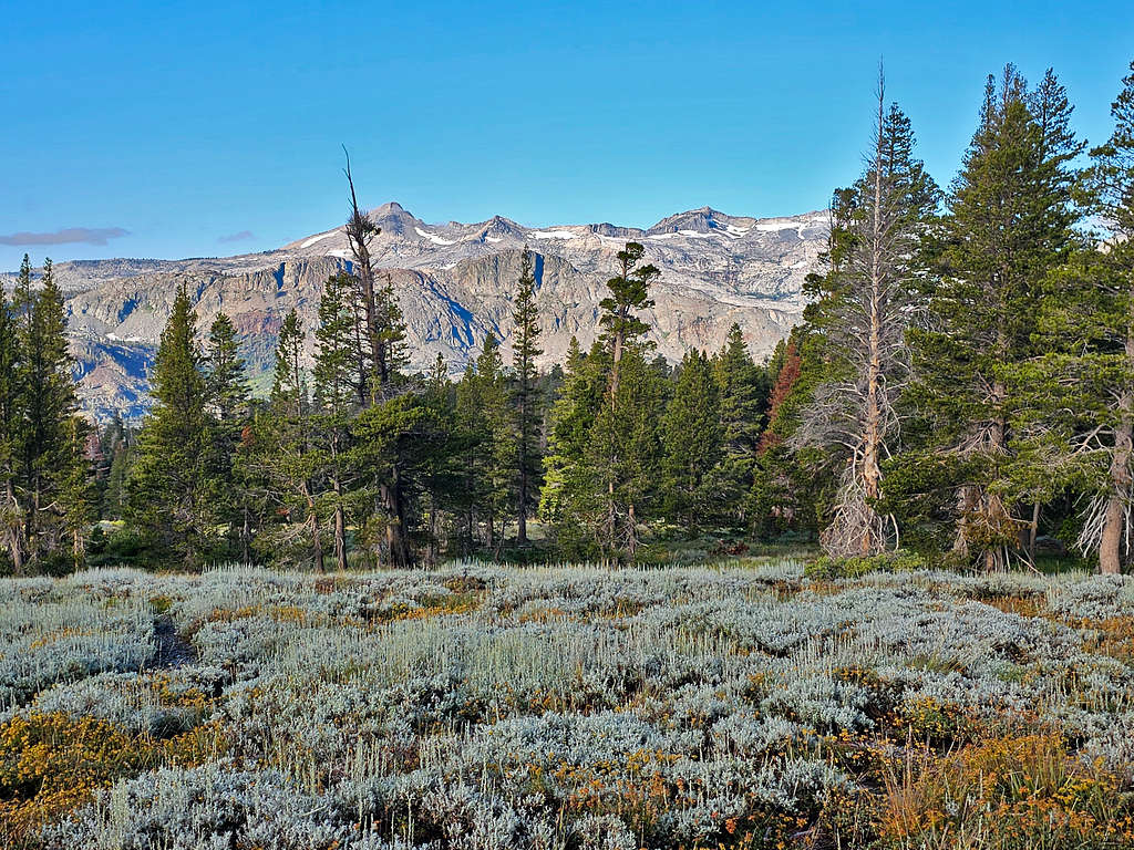
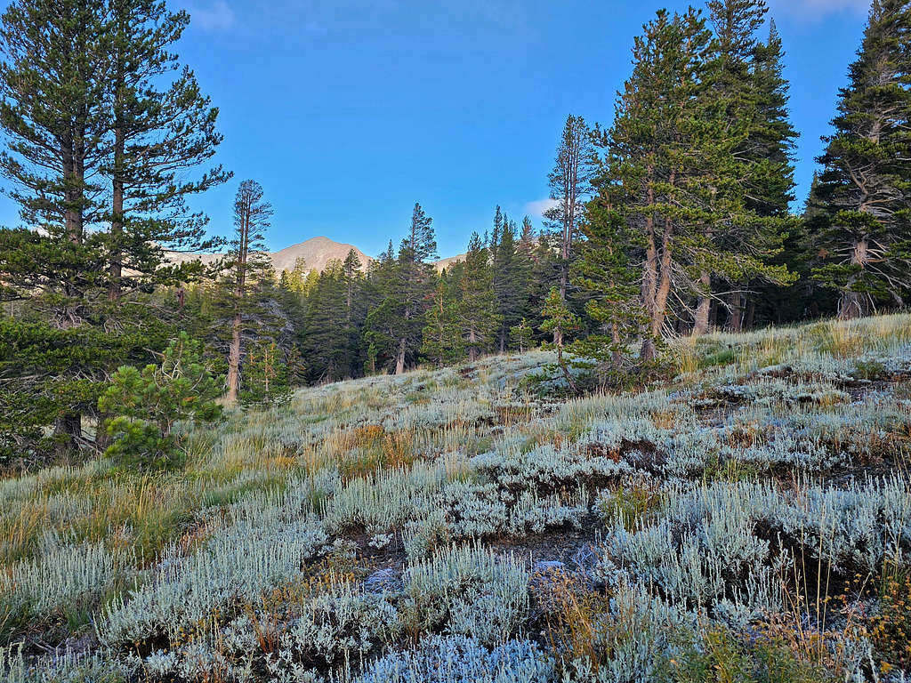
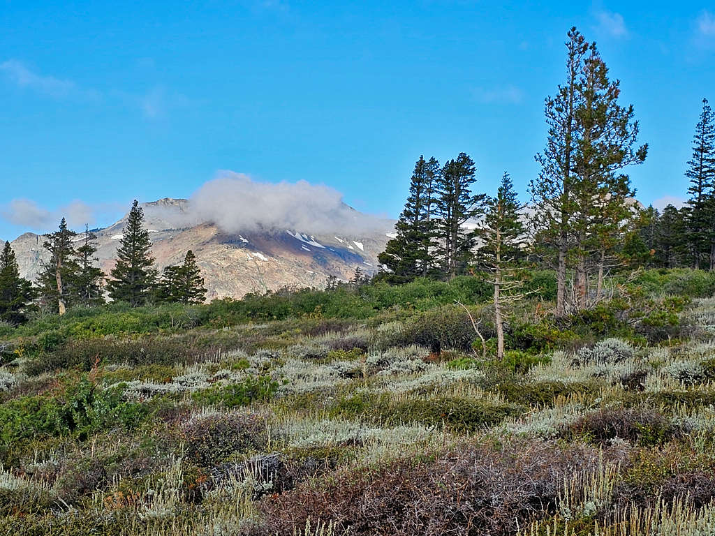
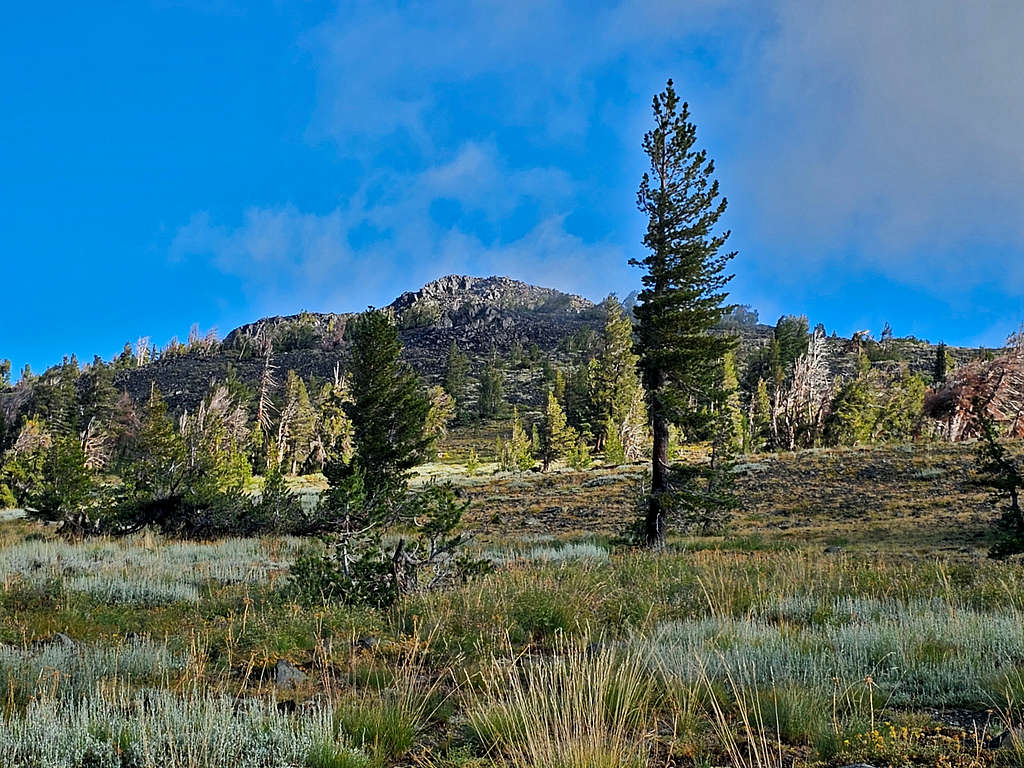
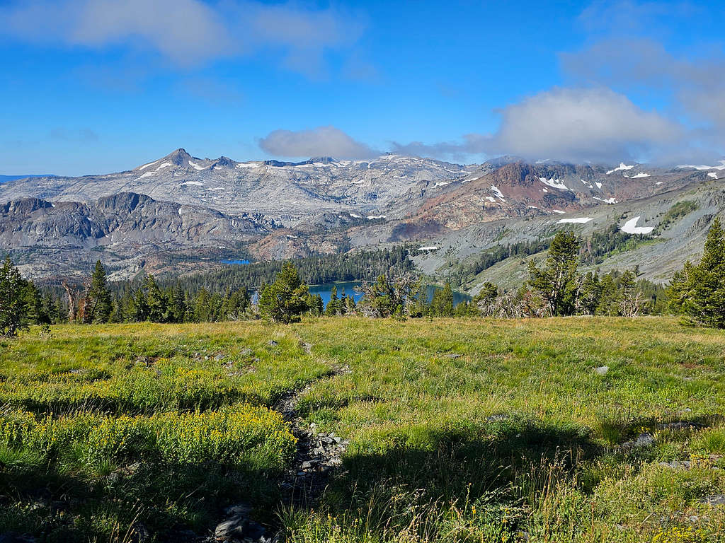
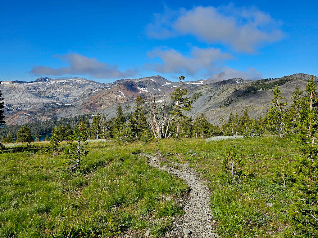
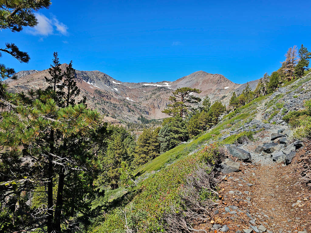
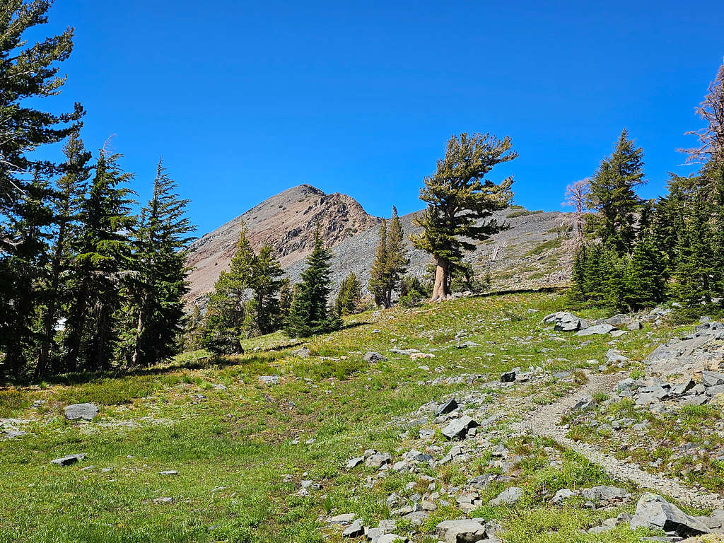
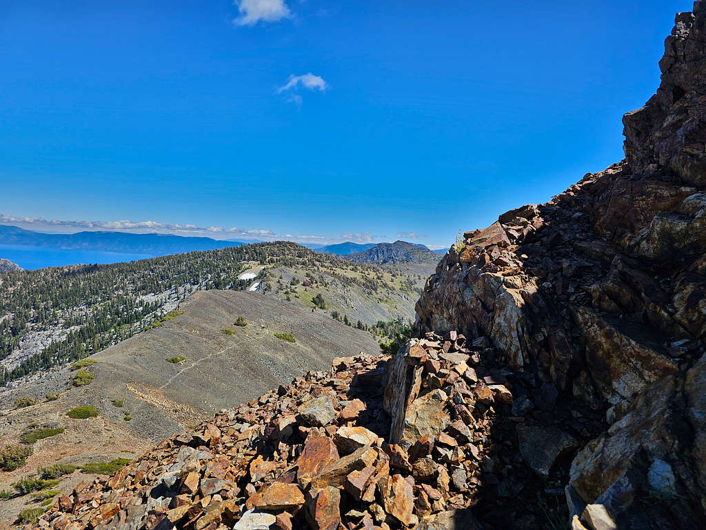
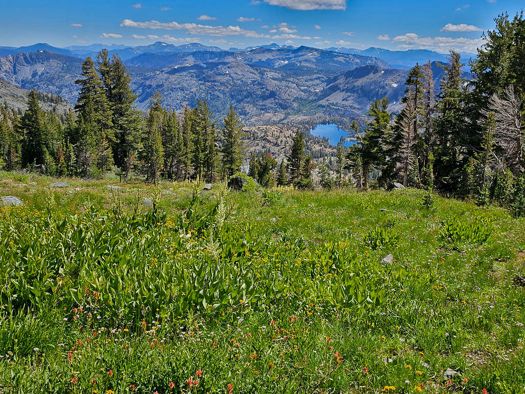
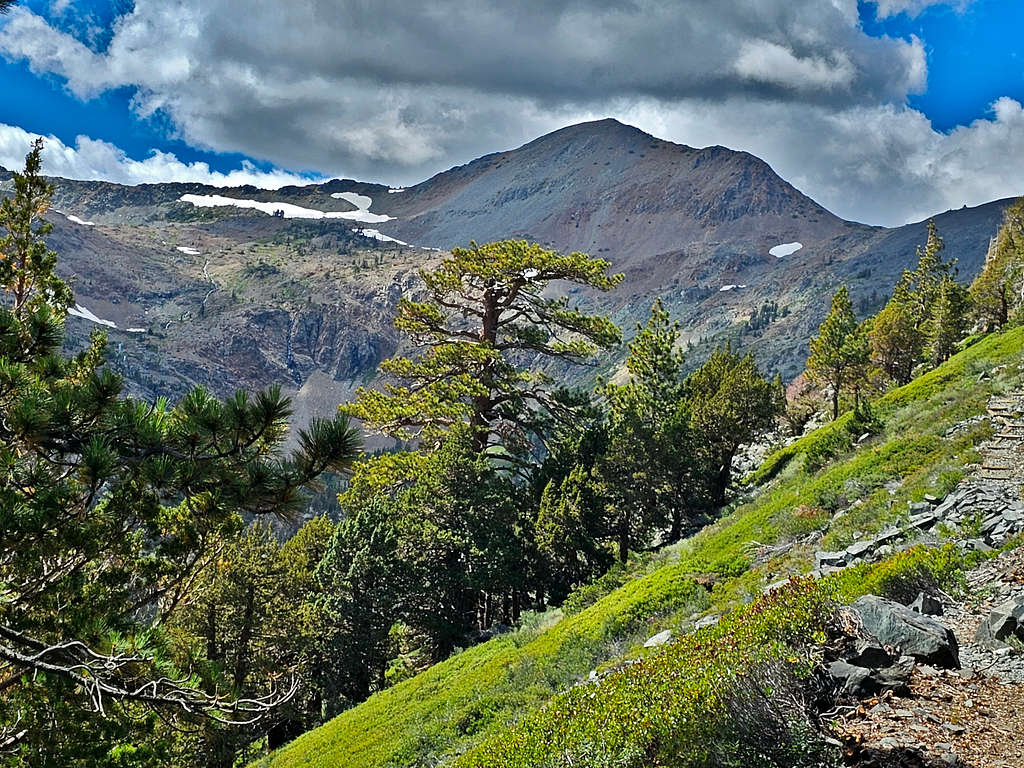
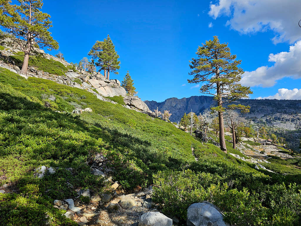
After going through a rocky spot, the trail got onto a grassy gently sloped area that had scattered trees and great views of the surrounding mountains. It had rained the previous days and there was a little bit of frost on the grass. Clouds came to hover around some of the summits.
Southern slopes of Mt. Tallac
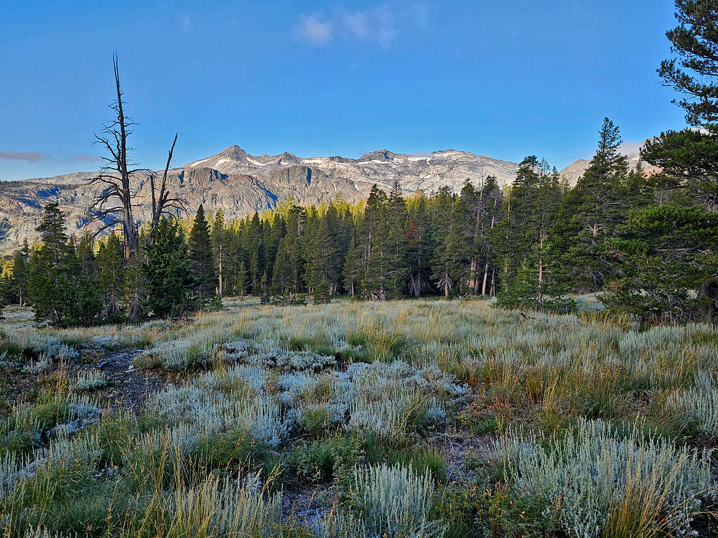
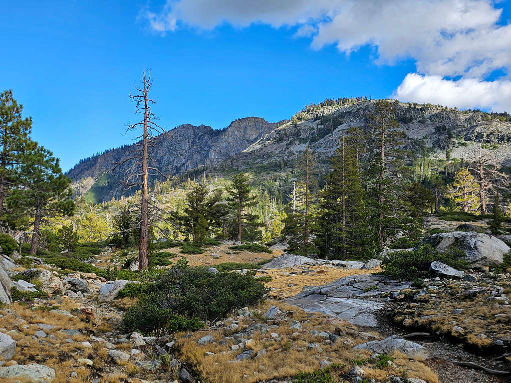
Ralston Peak.
Ralston PeakRalston Peak
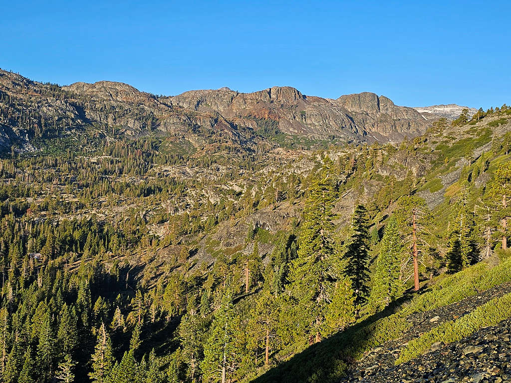
Pyramid Peak, Mt. Agassiz and Mt. Price.
Pyramid Peak plus Mts. Agassiz and Price
Pyramid Peak, Mts Agassiz and Price
Summit of Dicks Peak.
Dicks Peak
First views of the summit of Mt. Tallac.
Summit of Mt. Tallac
Summit of Mt. Tallac
Clouds over Jacks Peak.
Jacks Peak
After 2.65 miles and an elevation of 8750 ft, I reached the junction with Mt. Tallac’s main trail and began to run into people going up and coming down every now and then. Had not seen anyone until then. Summit of Mt. Tallac.
Summit of Mt. Tallac
Dicks and Jacks Peaks.
Dicks Peak
Just below the summit.
Below the summit of Mt. Tallac
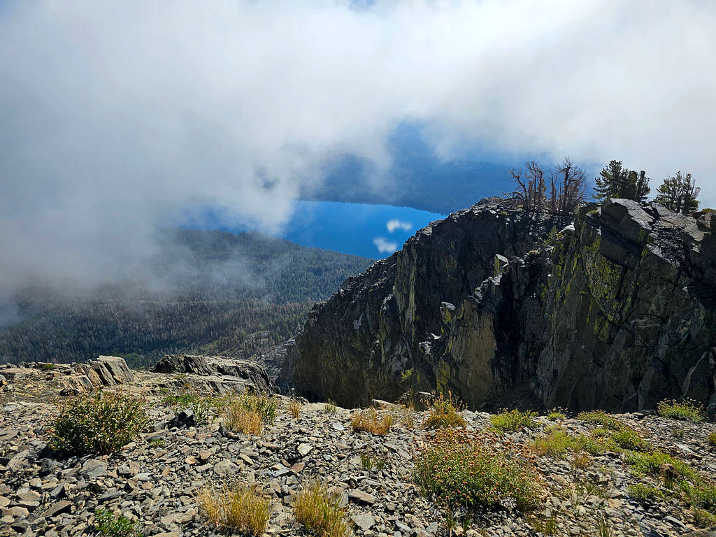
As I was approaching the summit, I was disappointed to see that fog was going to obscure my view.
Partial view of Fallen Leaf Lake.
Fallen Leaf Lake
Reached the summit at 9:23 AM, 3.94 miles and 9735 miles. Roughly 10 people were there. Cloud cover became denser and lighter, but I never got any good views and never got to see Lake Tahoe from the summit. What a bummer.
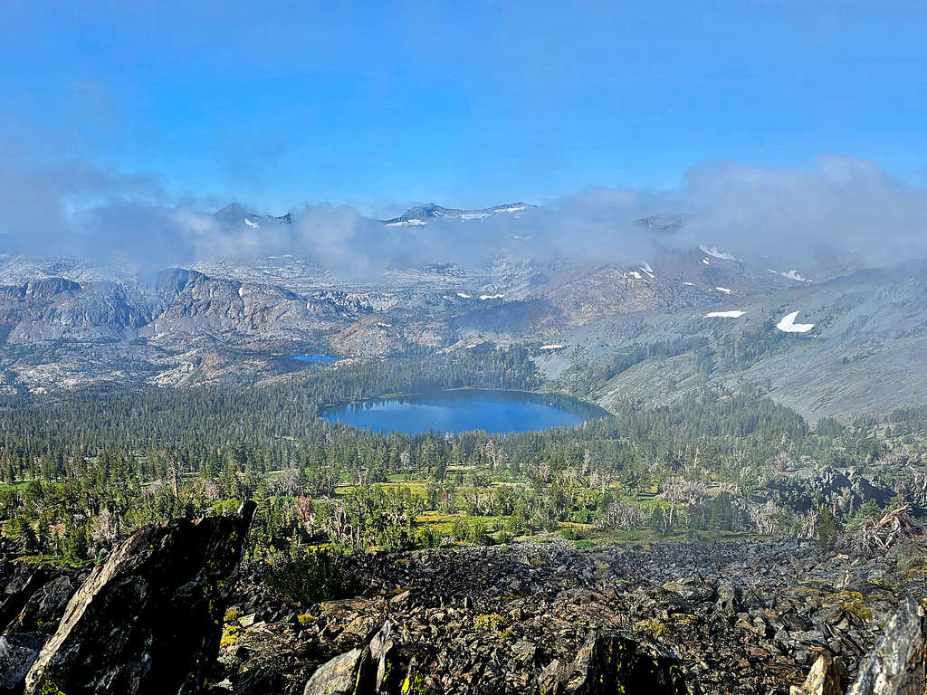
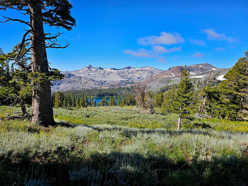
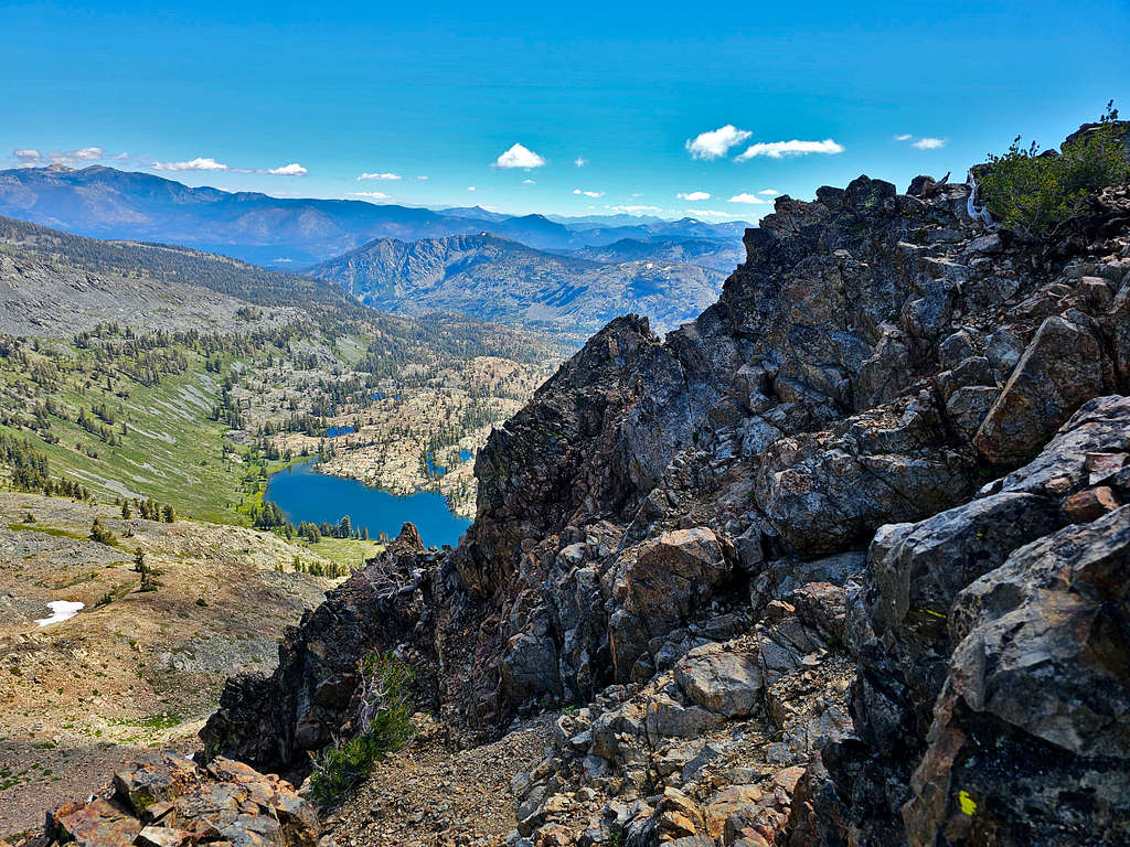
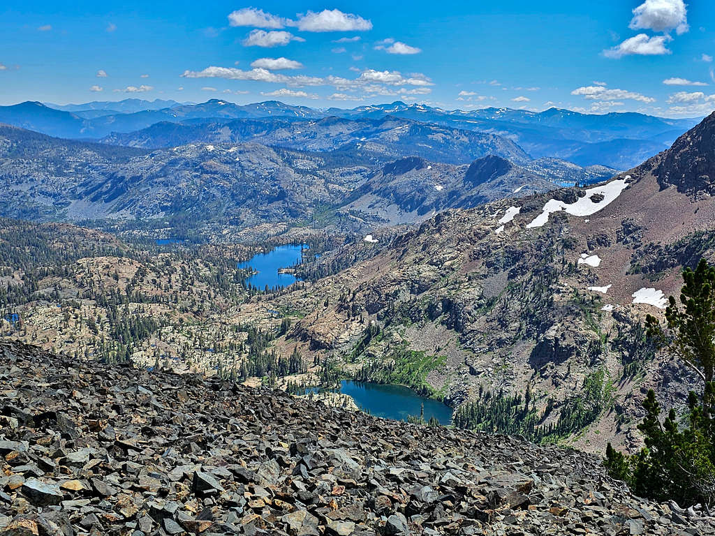
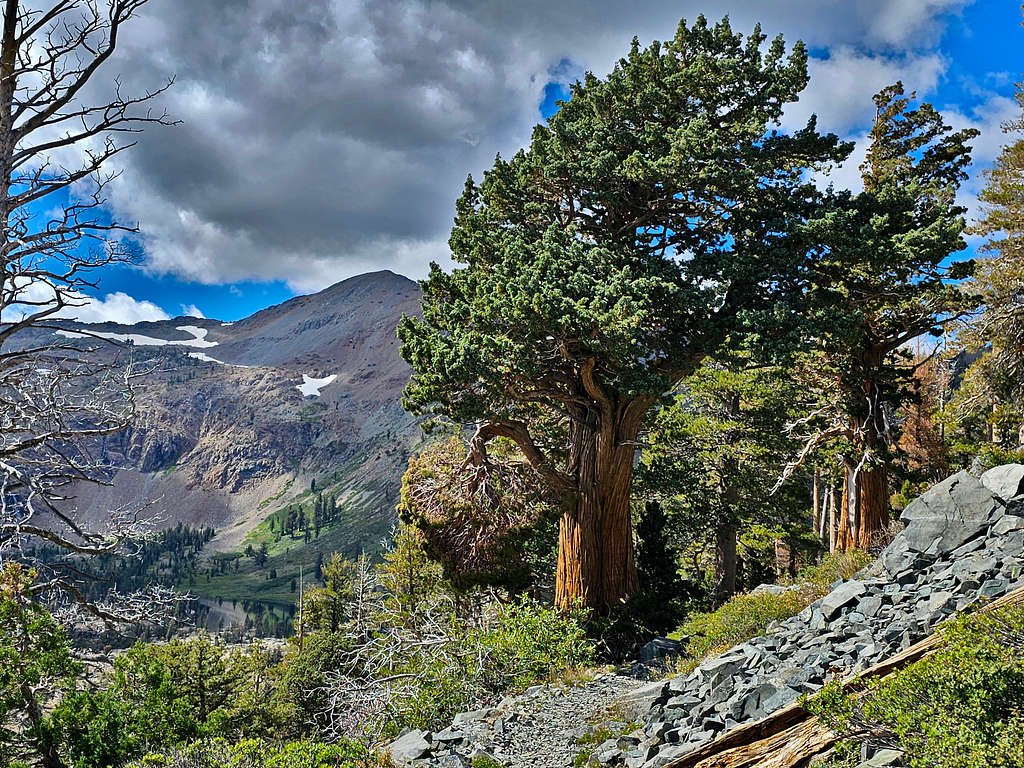
Gilmore Lake (my next destination) and Susie Lake.
Gilmore and Susie Lakes
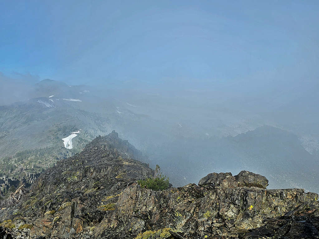
Dicks Peak barely seen.
Dicks Peak in fog
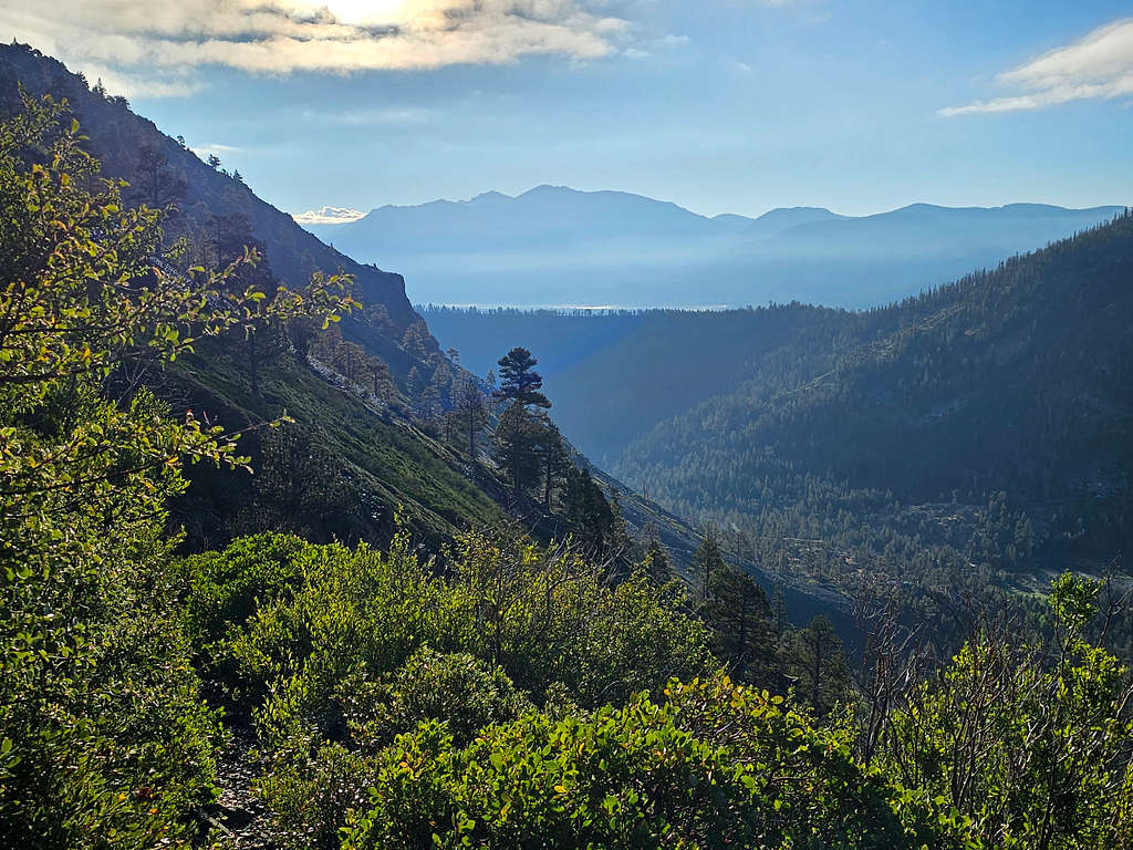
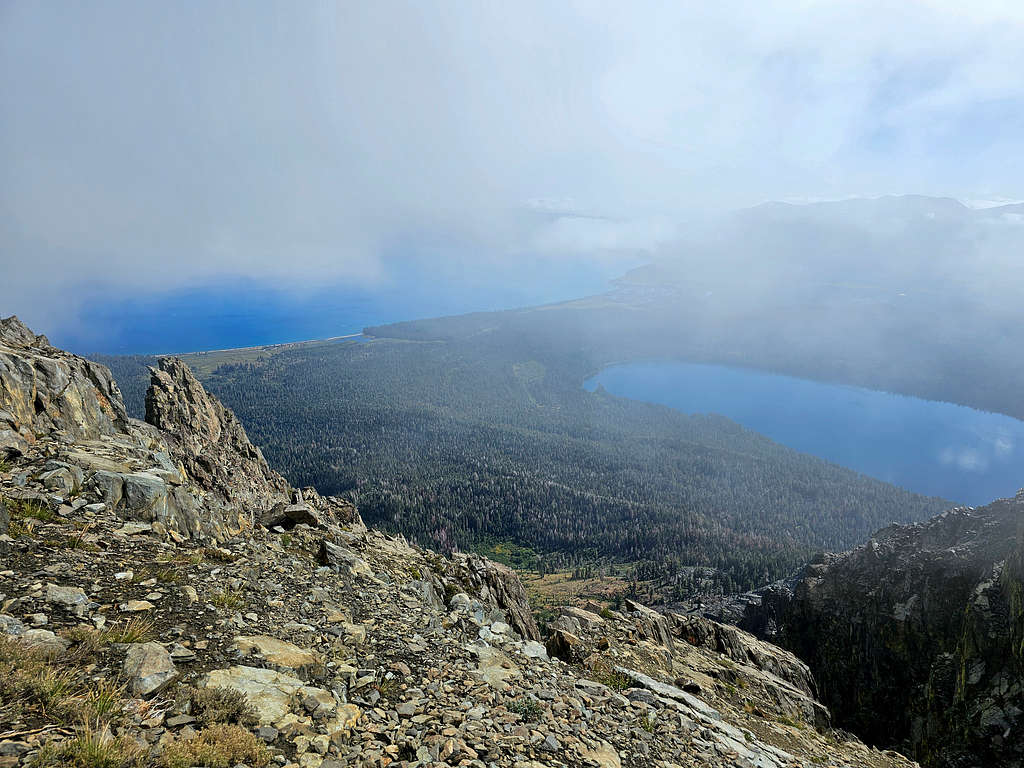
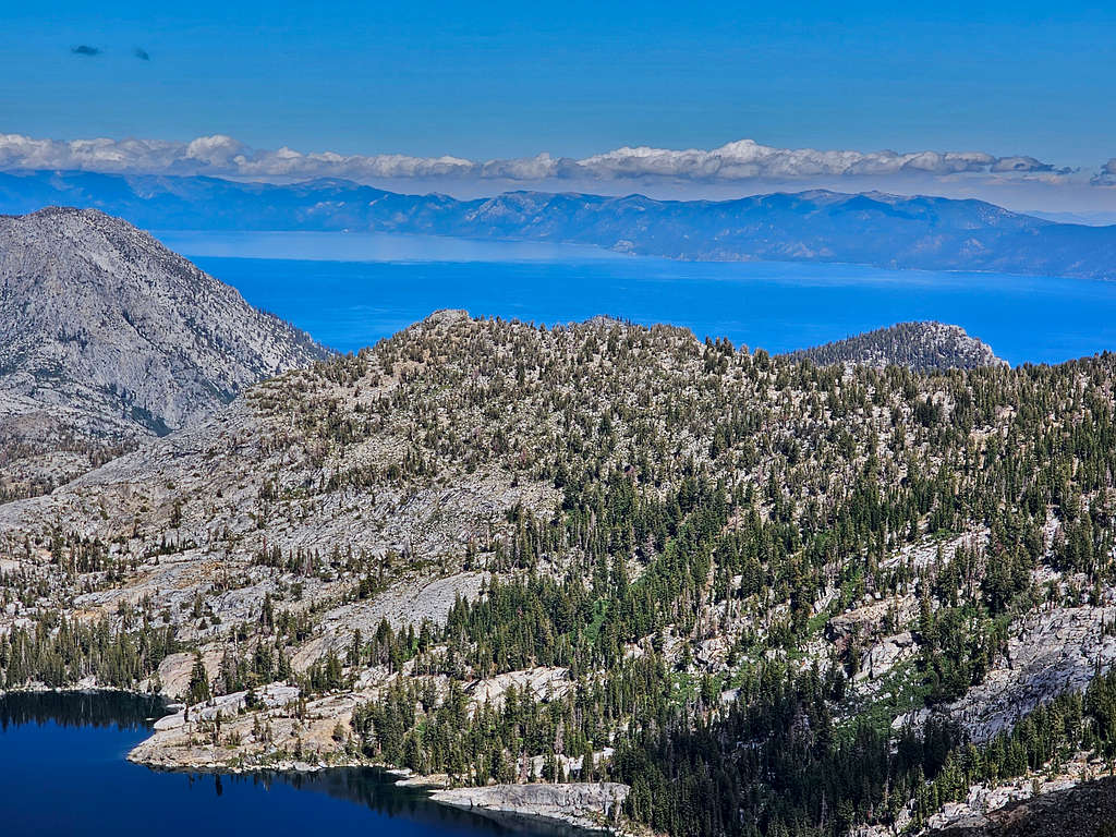
After eating and resting, I left at 9:39 AM. The plan was to descend 1450 vertical feet to Gilmore Lake and then back up again to Jacks Peak. Finally, a glimpse of Lake Tahoe from below the summit.
Lake Tahoe and Fallen Leaf Lake
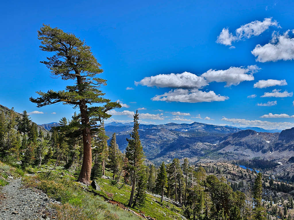
Once I got off Mt. Tallac Trail, I saw very few people. Began to go down toward Gilmore Lake.
Gilmore Lake and Pyramid PeakMt. Price, Jacks Peak and Dicks Peak in cloudsGilmore Lake plus Pyramid and Jacks Peaks
The majestic Pyramid Peak.
Zoomed view of Pyramid Peak
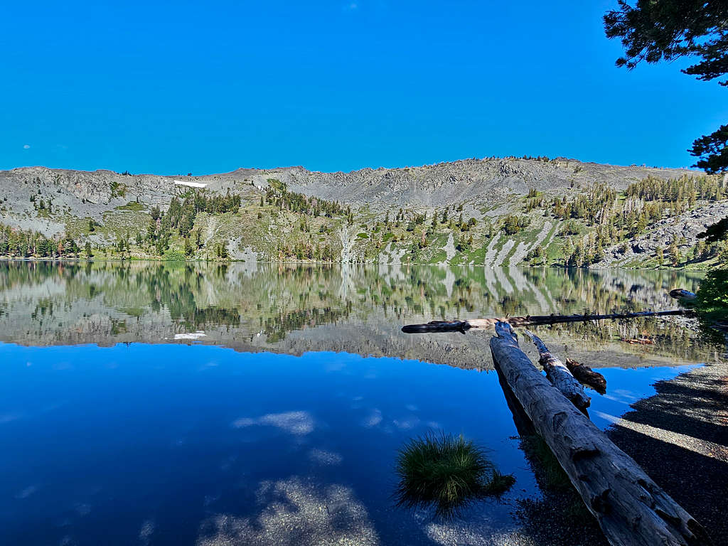
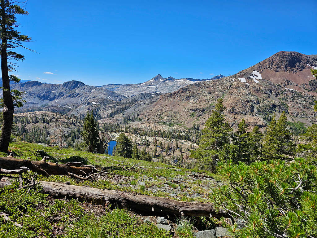
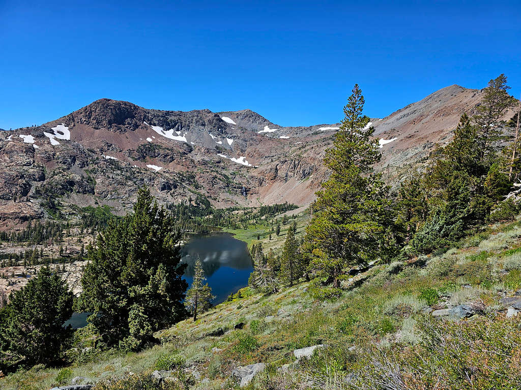
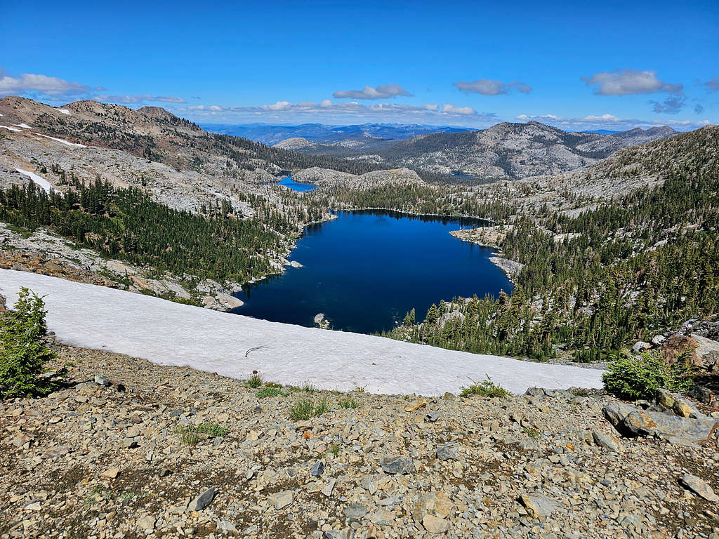
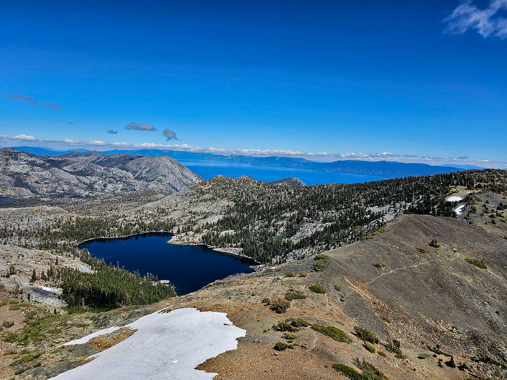
At 10:46, 5.79 miles and 8310 ft, I was on the shores of Lake Gilmore.
Gilmore Lake and Jacks PeakGilmore Lake
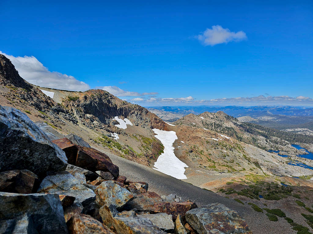
At 6.0 miles, I reached the Pacific Crest Trail and began to go up toward the 9160 ft Dicks Pass.
Dicks and Jacks Peaks.
Dicks and Jacks Peaks
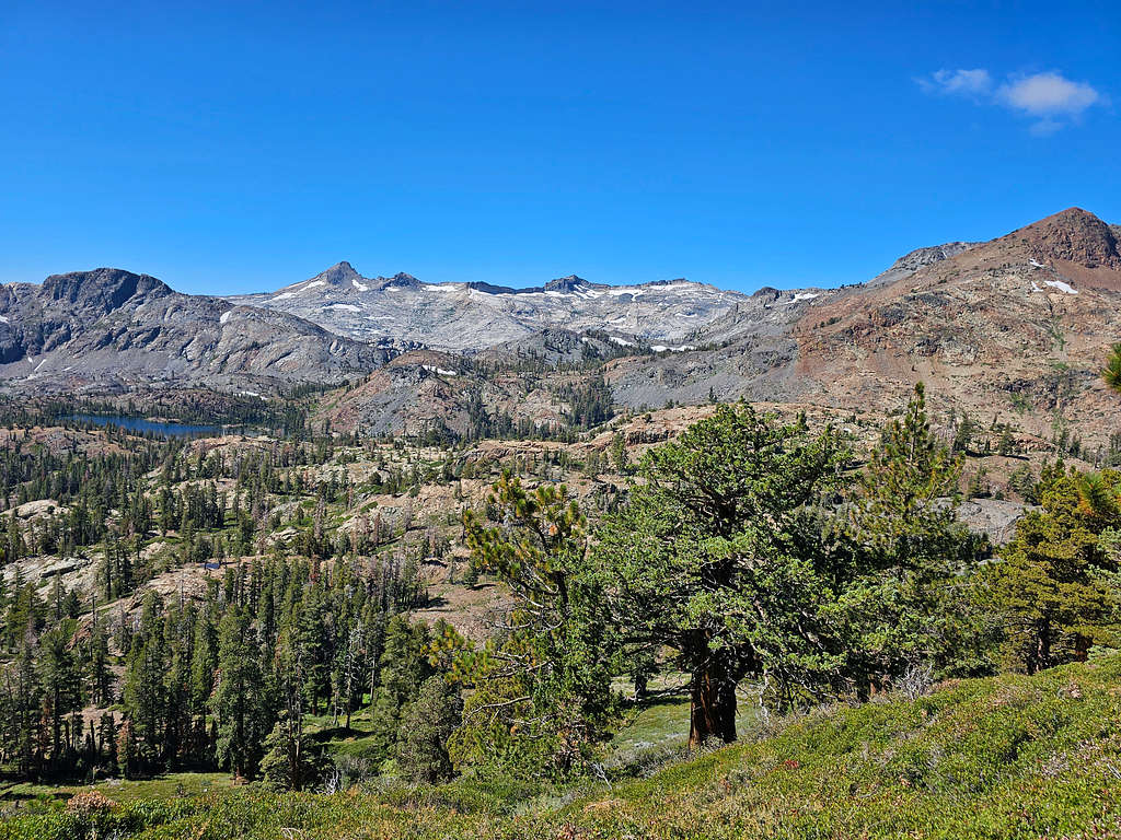
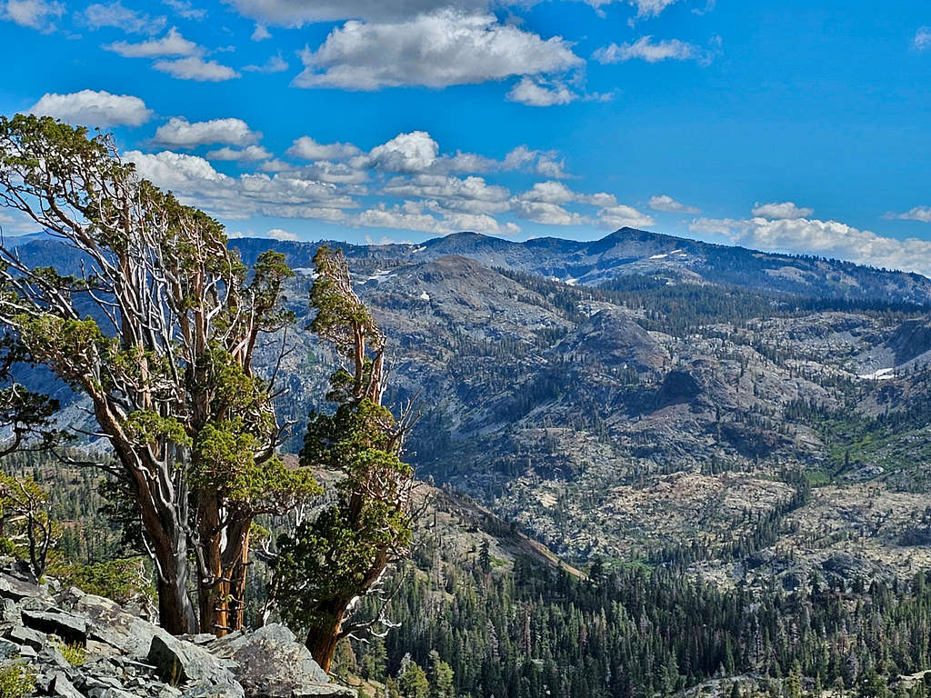
Mts Price, Agassiz, Pyramid Peak and Cracked Crag plus Susie Lake.
Cracked Crag, Pyramid Peak and Susie Lake
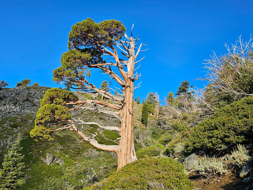
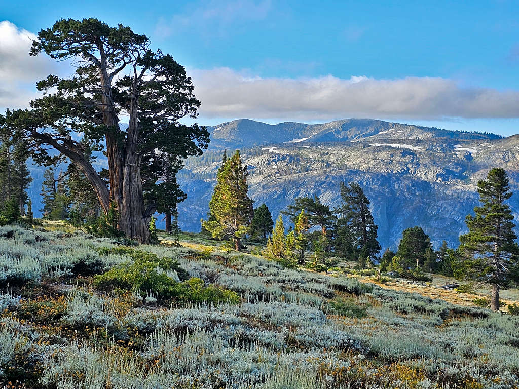
Love those “Sierras Trees”.
On Pacific Crest Trail
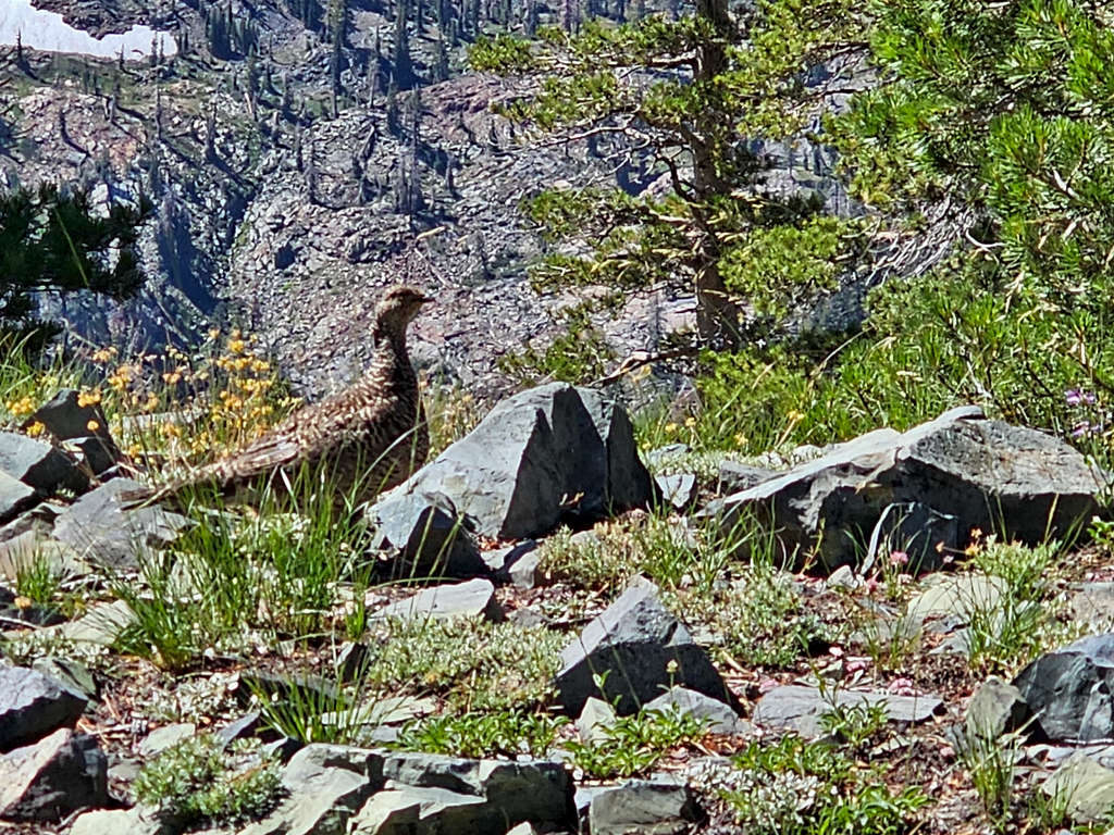
Grouse.
Grouse
Looking back at Pyramid Peak and Cracked Crag.
Pyramid Peak and Cracked Crag
Dicks and Jacks Peaks plus Half Moon Lake.
Half Moon Lake plus Dicks and Jacks Peaks
Getting close to Dicks Pass.
Dicks PeakDicks and Jacks Peaks
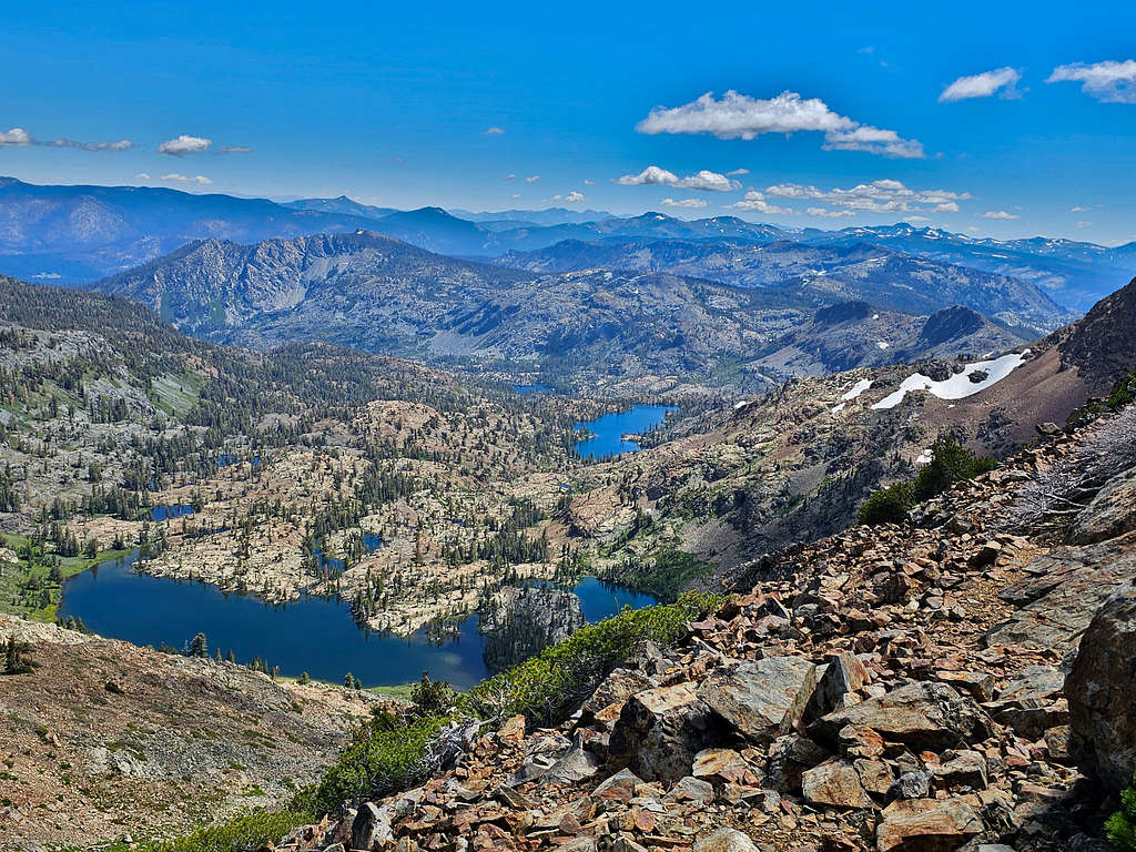
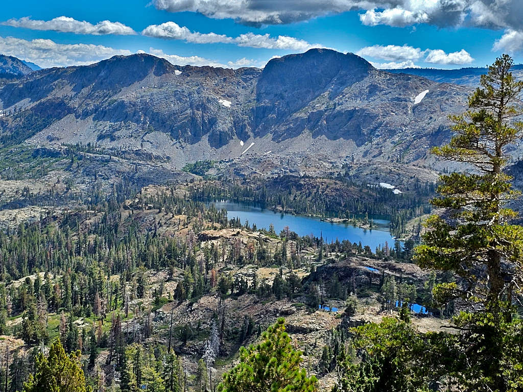
At 12:08 PM and 8.17 miles, I was at the 9160 ft Dicks Pass. Dicks Lake came to view to the northwest.
Dicks Lake
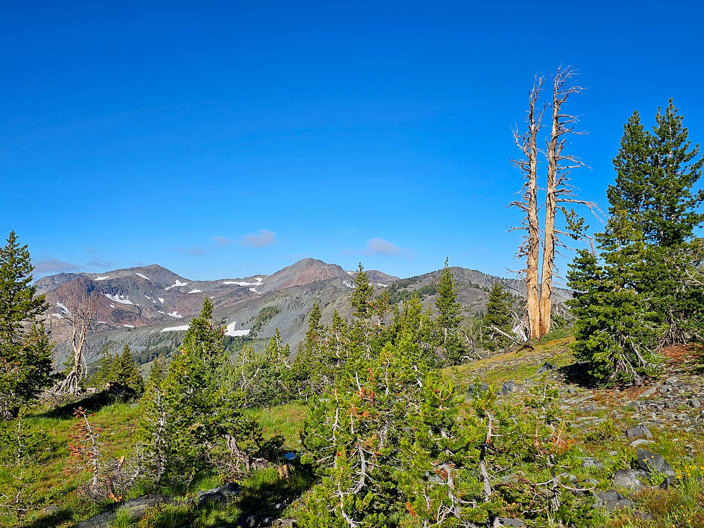
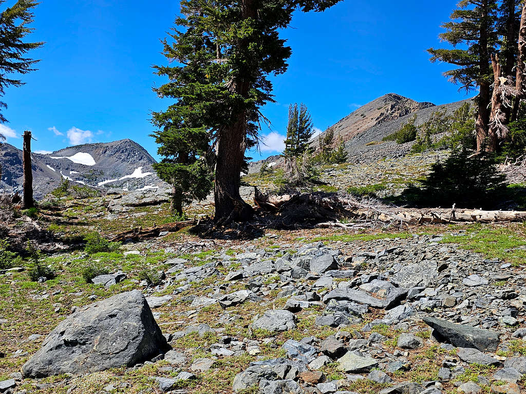
Left trail heading east over the scree slopes toward Dicks Peak. Looking back at Mt. Tallac and Peak 9579 ft.
Mt. Tallac and Peak 9579 ft
Dicks and Jacks Peaks.
Dicks and Jacks Peaks
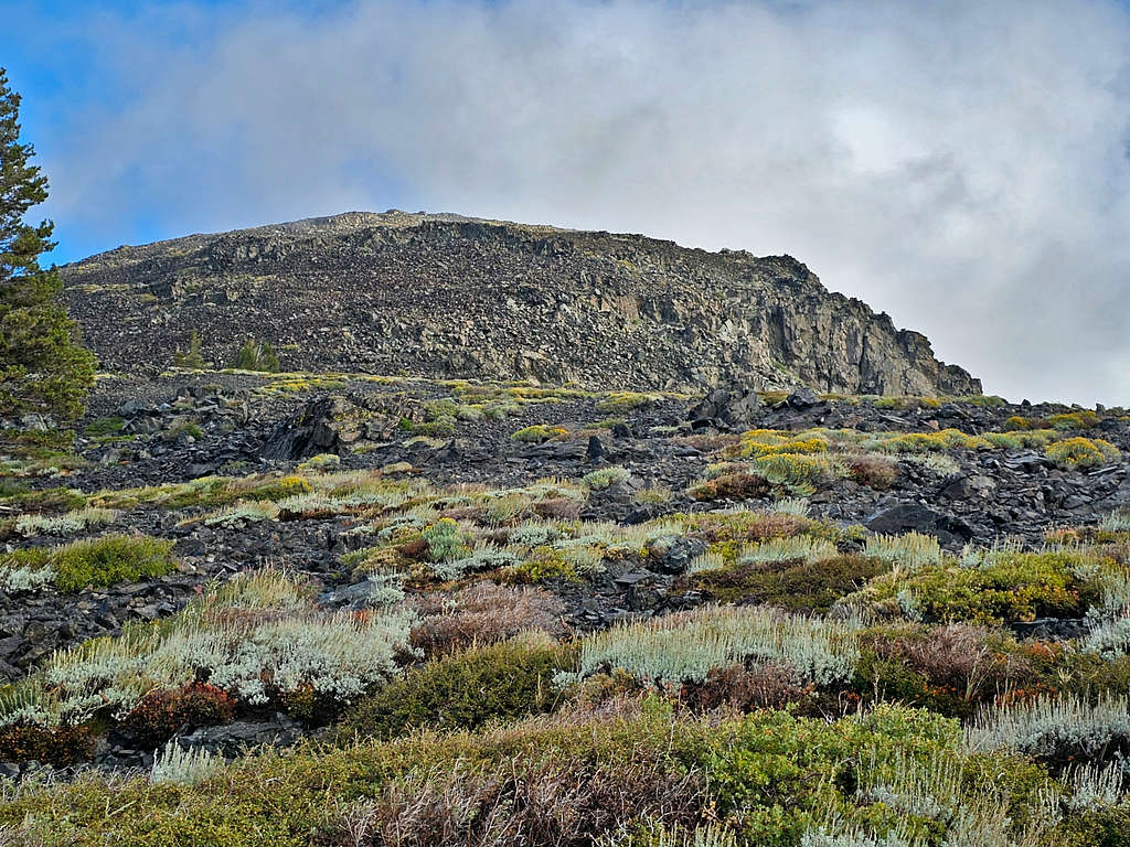
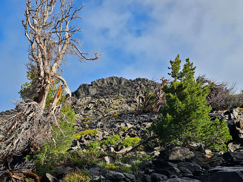
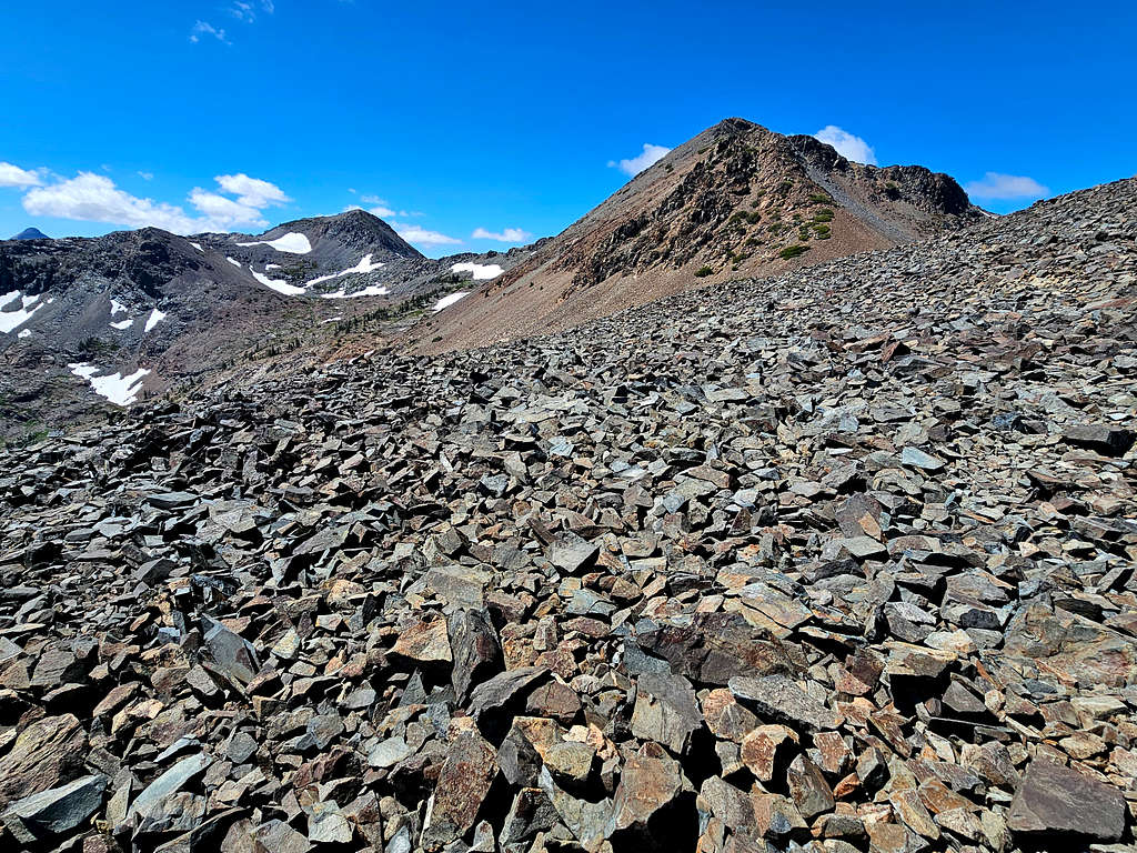
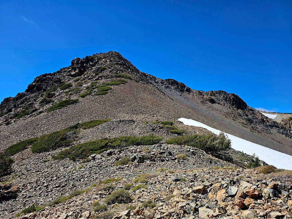
Was finally at the base of the summit of Dicks Peak. It was not clear if I had to go to the left of the ridgetop or right. On satellite photos, I had seen a definite beaten path on the left, but a few paths had been visible on the right as well. At that moment, I was seeing what looked like a trail on the left, so I decided to go left.
Summit of Dicks Peak
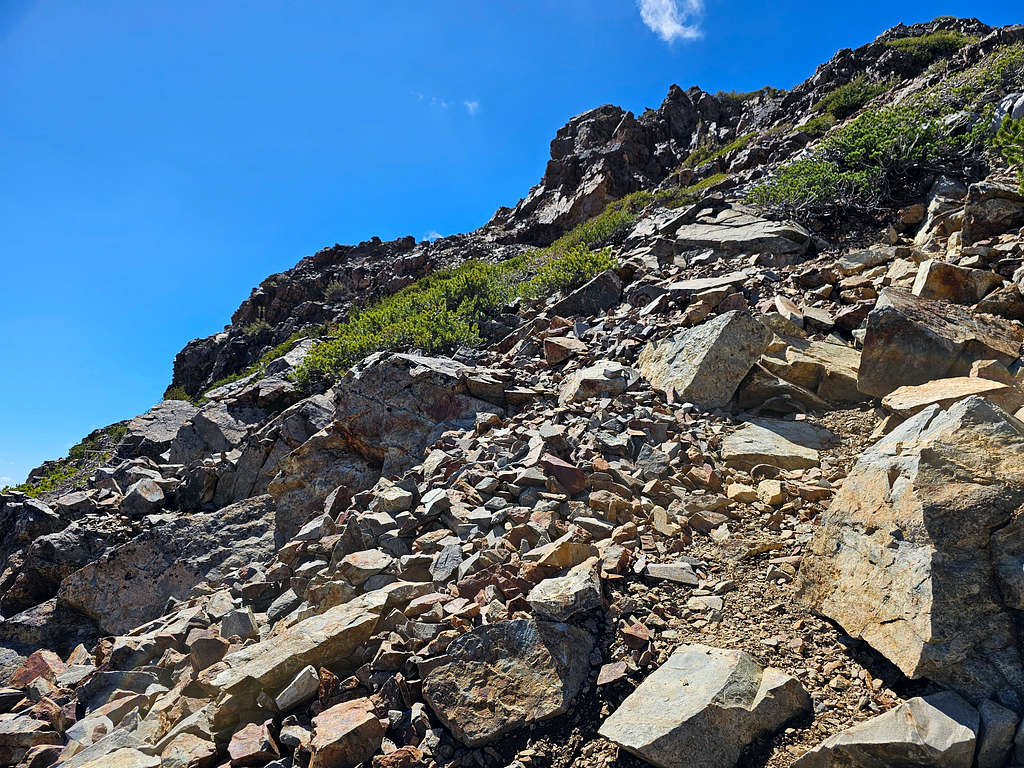
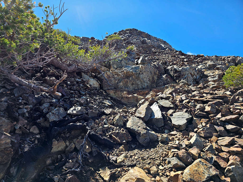
The trail faded away and I ended up scrambling up rocky slopes to around 9650 ft where I had to do a real climb. Being all alone and having had no radio contact with Kris for hours, I decided not to go any more.
On the slopes of Dicks PeakOn the slopes of Dicks PeakMt. Tallac and Peak 9579 ft
Half Moon Lake plus Freel Peak and Jobs Sister
Lake Tahoe had finally come to view.
Lake Tahoe and Dicks Lake
It was 1:05 PM when I decided to turn around. Went down a little to a spot where there was a big flat rock I could sit on. I had cell phone connection but could not reach Kris. I called my wife at the house and told her where I was. Sat there to eat and rest.
Fontanillis Lake.
Fontanillis Lake
Zoomed view of Lake Tahoe.
Zoomed view of Lake Tahoe and Dicks Lake
Began to walk back toward Dicks Pass. Half Moon and Susie Lakes.
Half Moon and Susie LakesHalf Moon and Susie Lakes
Reached Dicks Pass at 1:50 PM, 9.52 miles. A few people were there. After a short rest, I was back on the Pacific Crest Trail going down the way I had come up.
Susie Lake.
Susie Lake
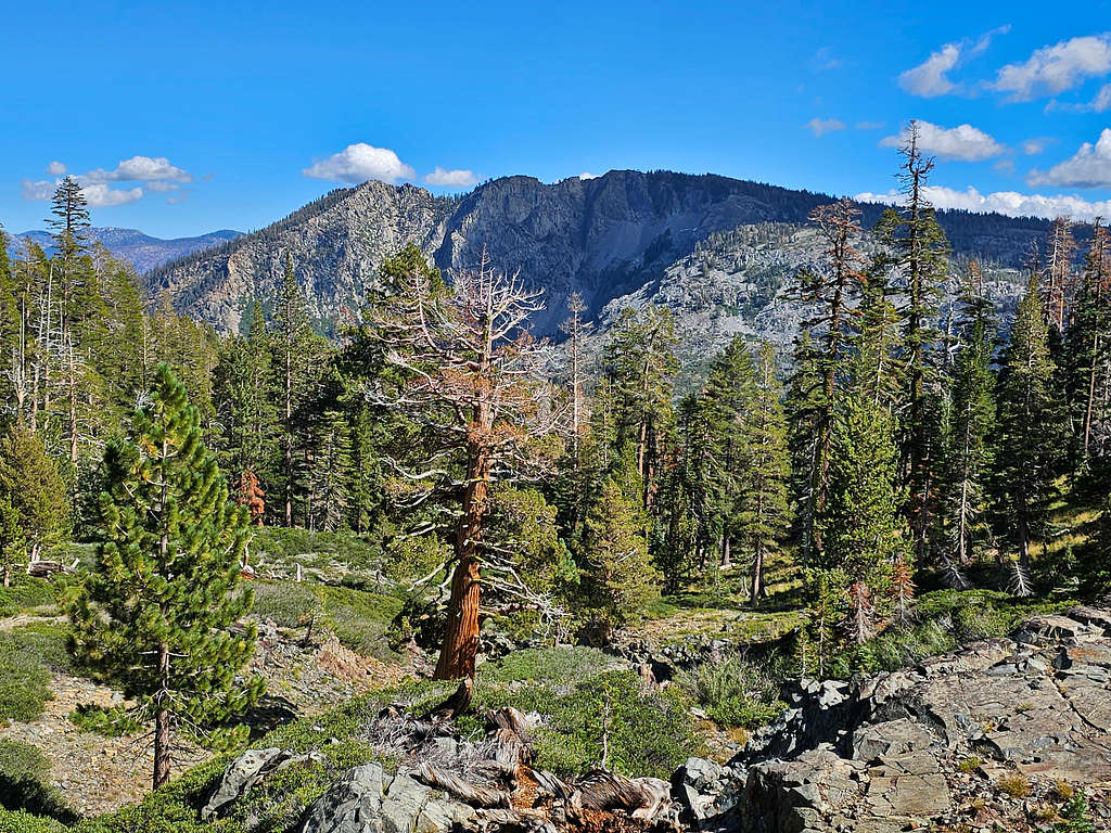
Pyramid Peak.
Pyramid Peak
Ralston Peak with Keiths Dome in front of it.
Ralston Peak
Ralston Peak and Keiths Dome
Pyramid Peak, Mt. Agassiz and Mt. Price.
Pyramid Peak, Mt. Agassiz and Mt. Price
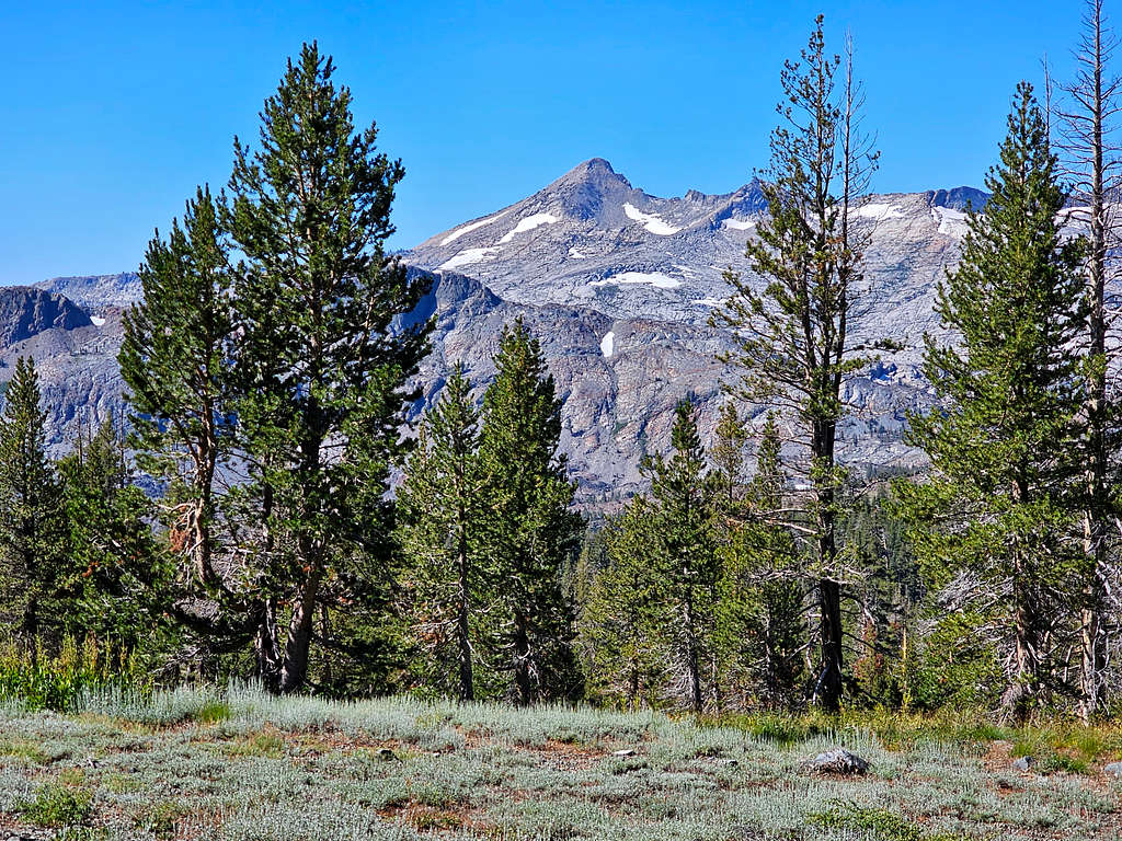
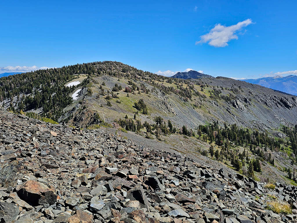
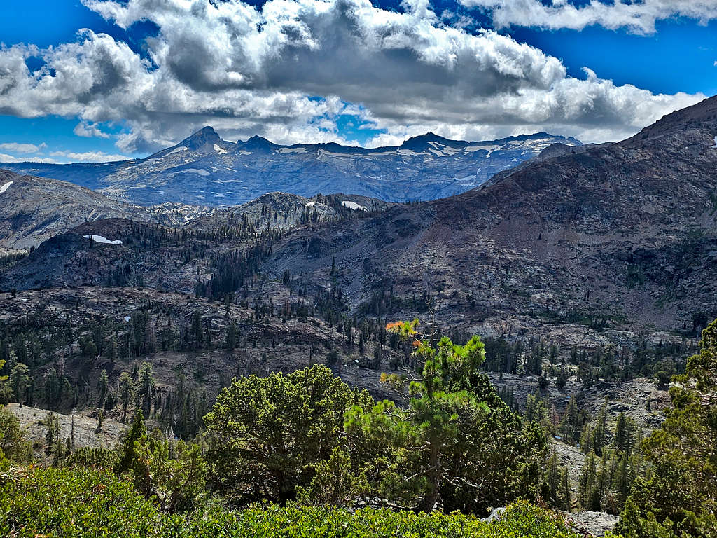
Looking back at Dicks Peak.
Dicks Peak
Dicks Peak
Cracked Crag and Susie Lake.
Cracked Crag and Susie Lake
At 2:50 PM, 11.64 miles and 8290 ft elevation, I reached the junction with the Gilmore Lake Trail. Sat there for a few minutes. Still no radio connection with Kris. I then continued to follow the trail down into Glen Alpine Creek Canyon. Was running into people more frequently.
View toward Echo and Angora Peaks.
Echo and Angora Peaks
Keiths Dome.
Keiths Dome
Cracked Crag.
Cracked Crag
At 3:49 PM and 13.49 miles, I suddenly reached Kris who was sitting there waiting for me. I had told him that I would be coming down this trail, so he had hiked up to wait for me.
More views to Echo and Angora Peaks.
Echo PeakAngora Peak
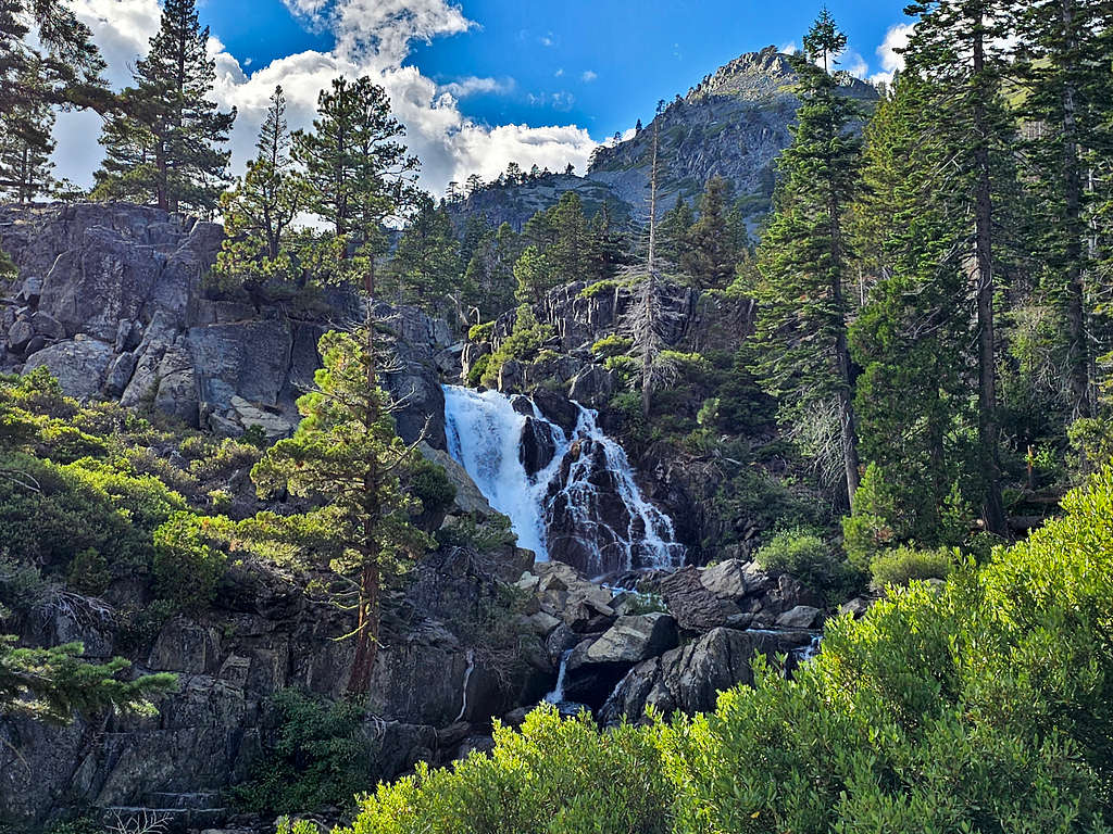
The trail then turned into an abandoned dirt road. Waterfall.
Back in 1990 I climbed a similar ascent to you but in the opposite direction - Glen Alpin - Gilmore Lake - Mt Tallac - west and down towards Fallen Leaf lake - Glen Alpin.
It was a lovely day amongst some great scenery.
Thanks,
Mike
Thanks for voting and commenting. I am glad it brought back good memories. I had not hiked in this area before. Way back in 1996, I had skied at Heavenly.
Parents refers to a larger category under which an object falls. For example, theAconcagua mountain page has the 'Aconcagua Group' and the 'Seven Summits' asparents and is a parent itself to many routes, photos, and Trip Reports.


Comments
Post a Comment