
-
 3591 Hits
-
 72.08% Score
-
 2 Votes
|
|
Route |
|---|---|
|
|
46.76020°N / 12.85680°E |
|
|
Hike and Scramble |
|
|
Half a day |
|
|
Walk-Up |
|
|
Approach
Please refer to the main page for the itineraries to the starting point at Oberpirkach. Please note that the village is located at an altitude of only 636m. To reach the Hochstadel summit you have to climb 2050m!!From Oberpirkach you can reach the trailhead at Unholdenalm by car or "hut taxi". Of course you can hike, it takes at least three hours if you follow the road. If you follow the footpath which cuts short the bends of the road you can gain about 30 minutes.
Route Description
- Start altitude: 1780mm
- Summit altitude: 2681m
- Prevailing exposition: N
- Type: 3h 30min over paths
- Protection: marked
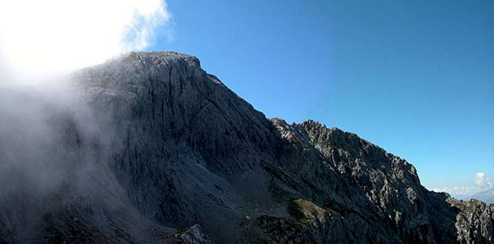
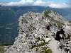
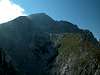
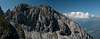
The normal route to Hochstadel is an easy but panoramic hike. Take into account that the trailhead is already more than 1100m above the valley floor and imagine jogging along a ridge that takes you even 900m higher. The first part of the route however follows the Garnitzenkar Cirque. It heads eastwards directly into the cirque but shortly before reaching its end it turns to the right (northern) shoulder.
There you have a close-up view of the beautiful Rudnigkofel south face and Hochstadel comes into view to the west. Follow the northern shoulder of the cirque until it meets the southern one and it is here that the Hochstadel east ridge reaches the cirque. Follow the ridge westward. It flattens almost into a high plateau before it reaches the summit.
 |  |  |  |  |