


Noondueler - Mar 2, 2009 4:00 pm - Voted 10/10
More power!More power to you guys! Getting it done in winter! I'm a spring/summer hiker hunkered down here in the Marin County rain with the van in the shop for the day! Looking foward to getting out to Death Valley vicinity in a few weeks or so.

ZeeJay - Mar 2, 2009 4:28 pm - Voted 10/10
Re: More power!It might have been technically winter, but it sure felt like spring.

Dmitry Pruss - Mar 2, 2009 4:59 pm - Hasn't voted
Re: More power!March Death Valley, is it gonna be "flower power" then? :)
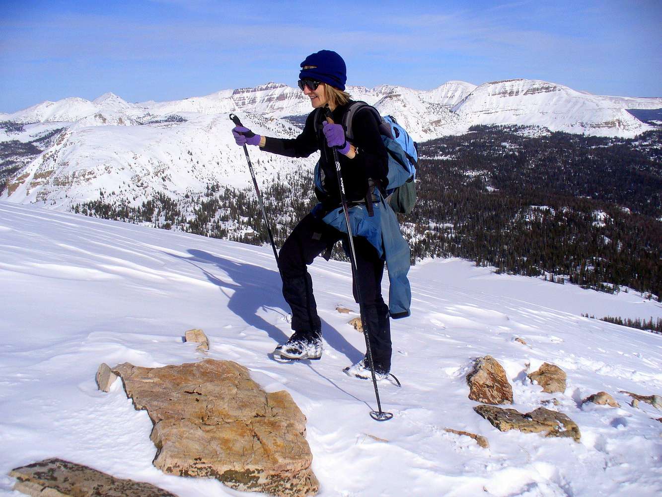
By ZeeJay's calculation, following summer roads and trails would add up to 15 miles one way to the summit ... a passably long day on skis. But since we cut almost straight cross-country, it was barely above 10 miles to the summit for us (and more beautiful on the xc route too, with distant views and countless high country lakes).

lcarreau - Mar 2, 2009 7:29 pm - Voted 10/10
Re: More power!Did somebody say "flower power," and all the
fragile butterflies that come along with that??
Oh NO!


Comments
Post a Comment