
|
|
Mountain/Rock |
|---|---|
|
|
34.37457°N / 114.2876°W |
|
|
Download GPX » View Route on Map |
|
|
Hiking, Mountaineering |
|
|
Winter |
|
|
1540 ft / 469 m |
|
|
Overview
Rank: Peak 1540 ft is California’s 10198th highest ranked Peak
Prominence: 400 ft
This is an obscure peak that rises in the Whipple Mountains of southeast California on the western shores of Lake Havasu. No trail goes to or near its summit. By looking at Google Earth and topo maps, I was able to come up with a scenic route that took me through the spectacular Dynamite Canyon and then up the slopes of Peak 1540 ft to reach its summit where I had great views of Lake Havasu and other nearby desert peaks. A nameless arch on the summit, added to the allure of the peak.
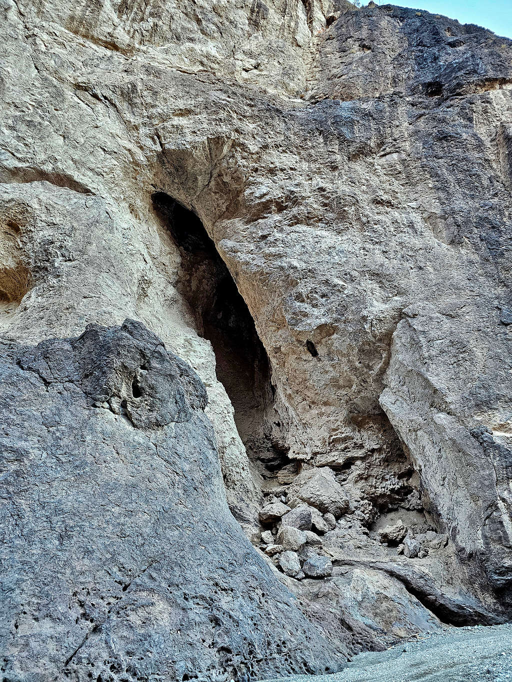
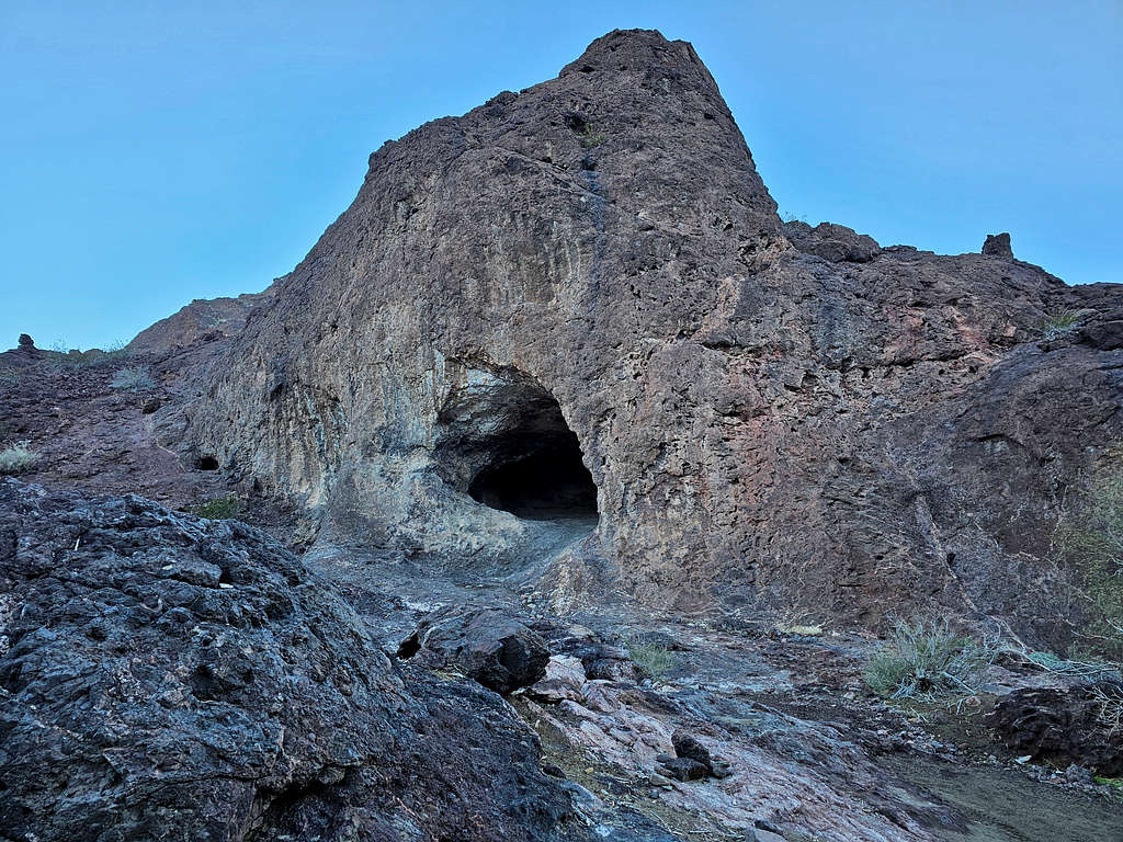
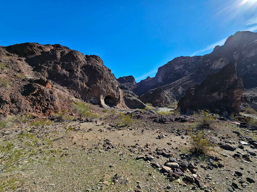
Dynamite Canyon is 0.75 miles long and has a wide gravely bottom making it somewhat popular with those who like to 4-wheel drive in the area. A big cave sits at the southwestern end of the canyon.
Getting There
From Parker, Arizona, cross the bridge over Colorado River into California. Get on Parker Dam Road and drive 15.5 miles north to just south of Parker Dam (From Lake Havasu City, Arizona, you could drive south on Route 95 and cross the river into California over Parker Dam. The dam is closed from 11 PM to 5 AM, check times online since it might change).
Get on Trail End Camp Road and drive 6.2 miles to a split in the road. Right remains paved and goes to Black Meadow Landing. Left becomes dirt and is the continuation of Trail End Camp Road. Turn left and drive 5.8 miles to the start of Dynamite Canyon where there is plenty of room to park (after 2.1 miles, a rougher road branches on the left, stay right). On the day that I did my drive, the road appeared not all that rough making me think that under dry conditions, any high clearance vehicle should be able to make it although I would not drive it in anything less than an SUV.
Route/Trip Report
Elevation at starting Point: 560 ft
Summit Elevation: 1540 ft
Roundtrip Hiking Distance: 3.6 miles
February 12, 2024
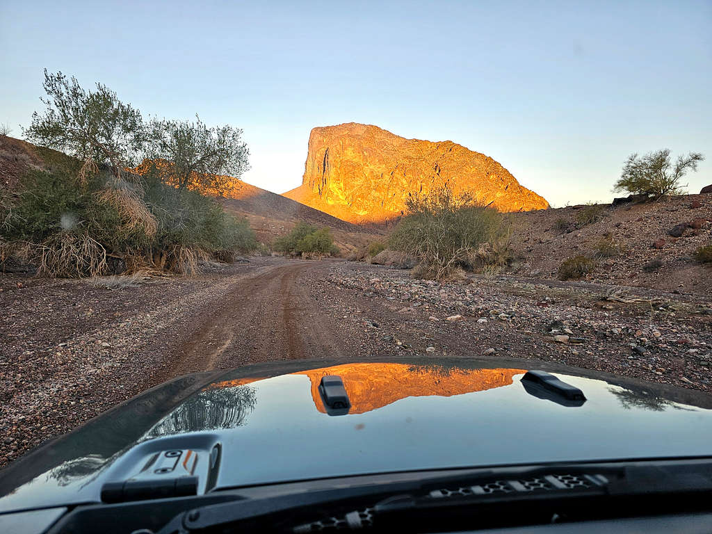
Left the vacation rental house in Big River, California around 6:00 AM (sunrise 6:30). In the back of my mind, I was wondering if I would run into difficulties during this hike since I had not seen any info about Peak 1540 ft anywhere. I was going solely based on what I had seen on Google Earth. While driving on Trail End Camp Road, I got good views of Peak 1860 ft (1752 ft figure on USGS Map). It was reflecting nicely on the hood of my rental Jeep.
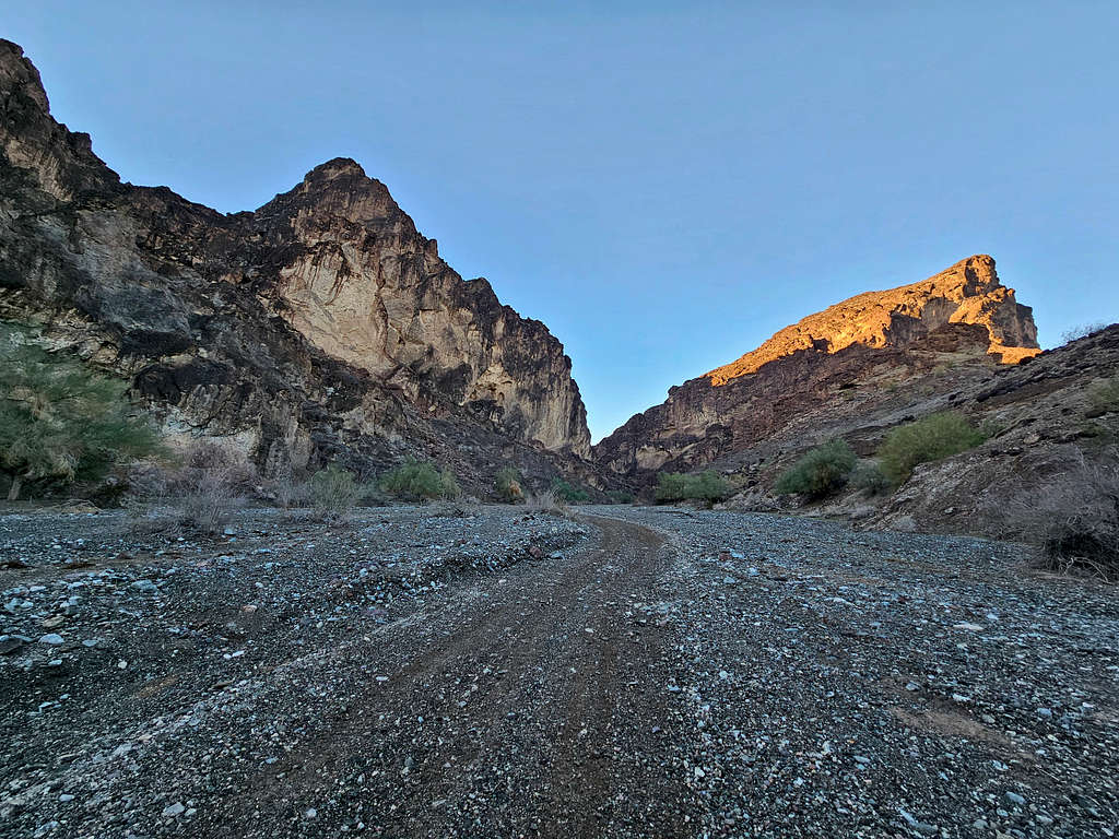
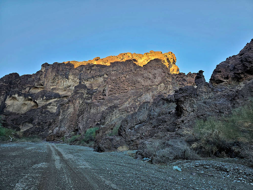
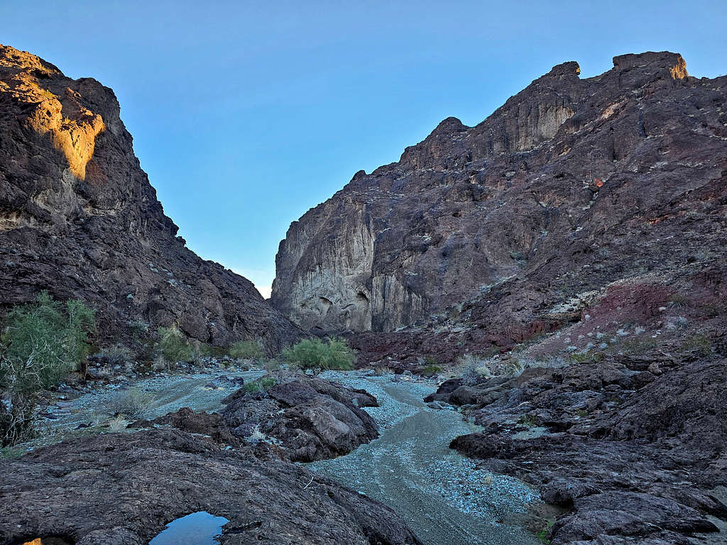
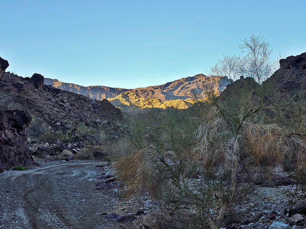
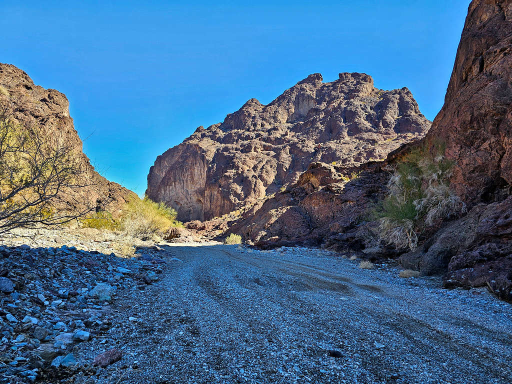
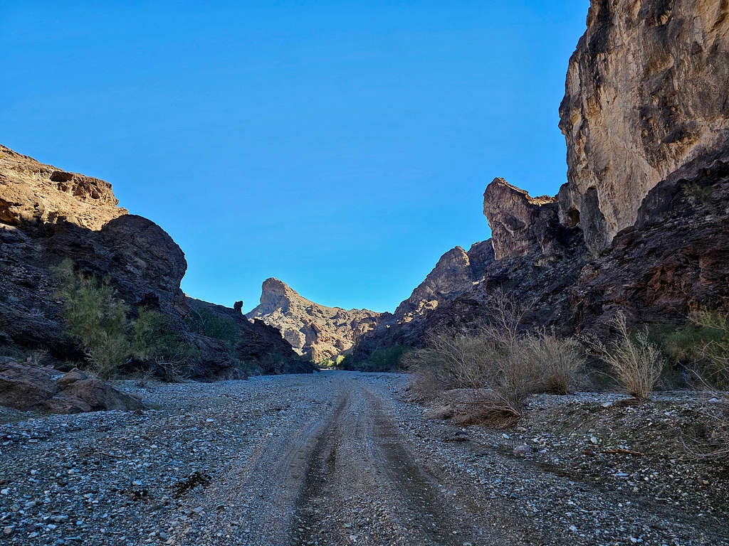
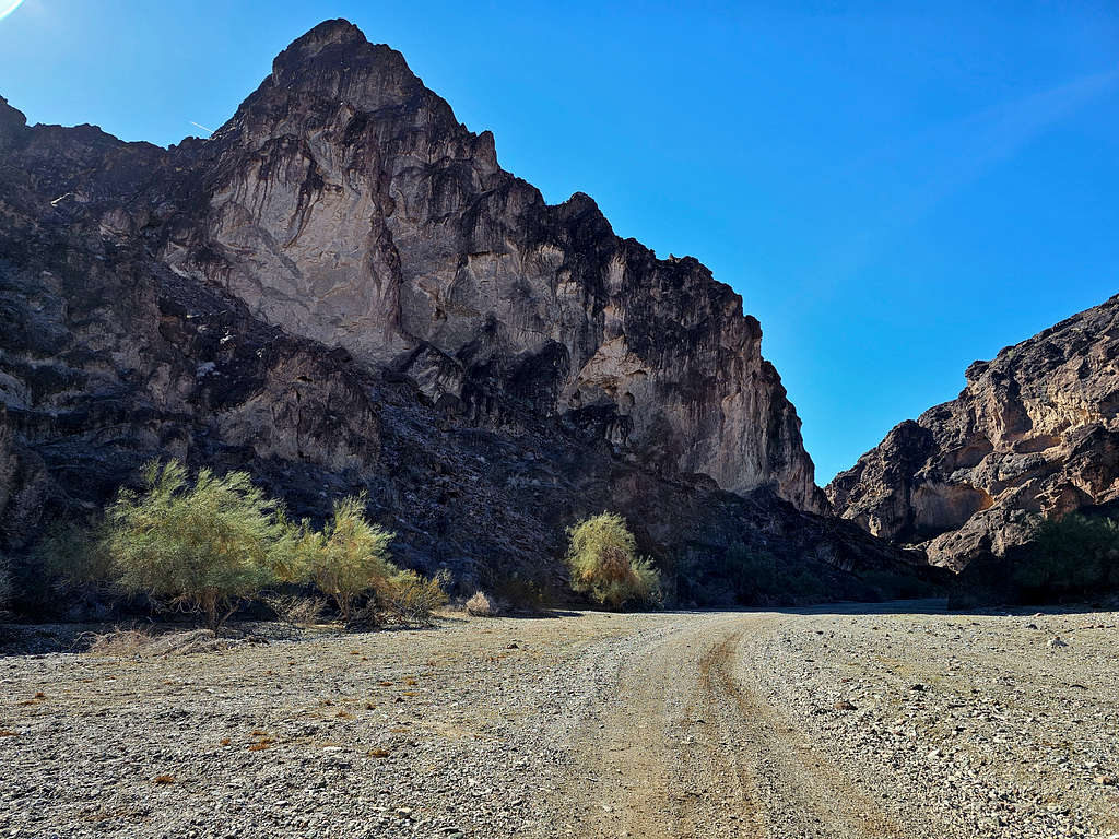
Parked at the start of Dynamite Canyon. Elevation was 560 ft. Started my hike at 7:05 AM. I knew that I might run into four-wheel drivers in that canyon, but no one was there at that hour, and I did not see anyone while hiking. View at the start of the canyon with Peak 1500 ft (different peak than Peak 1540 ft) on the right side.
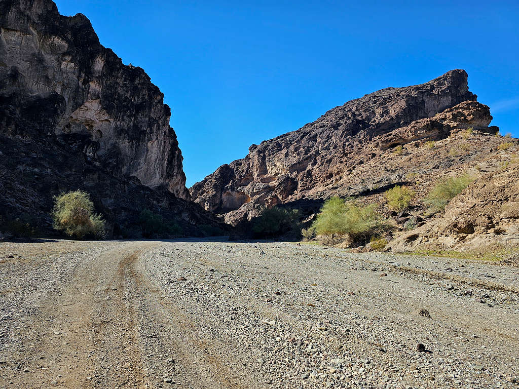
Headed southwest into the canyon.
Looking back at Point 940 ft.
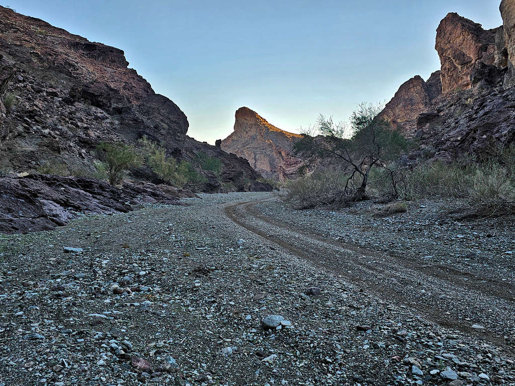
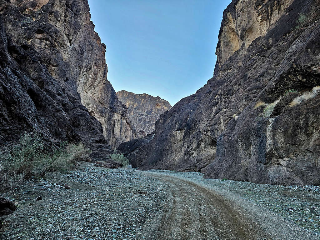
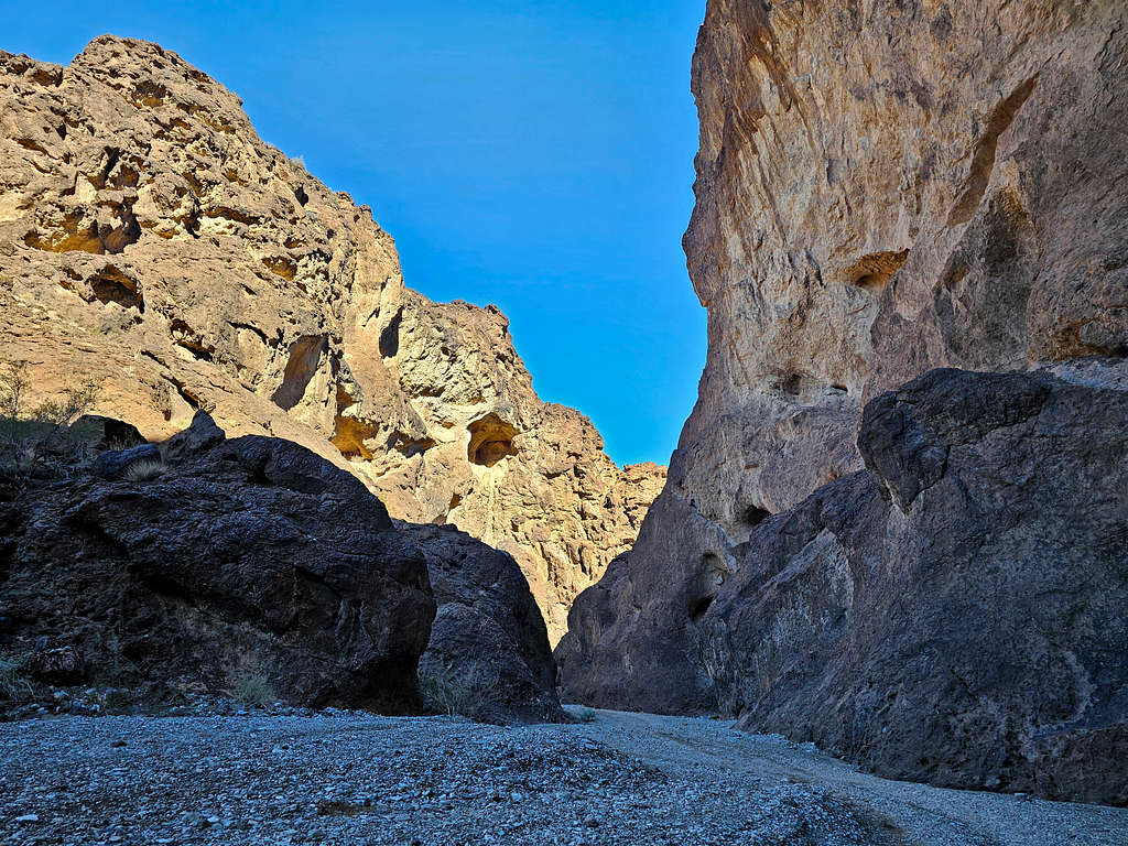
Inside Dynamite Canyon.
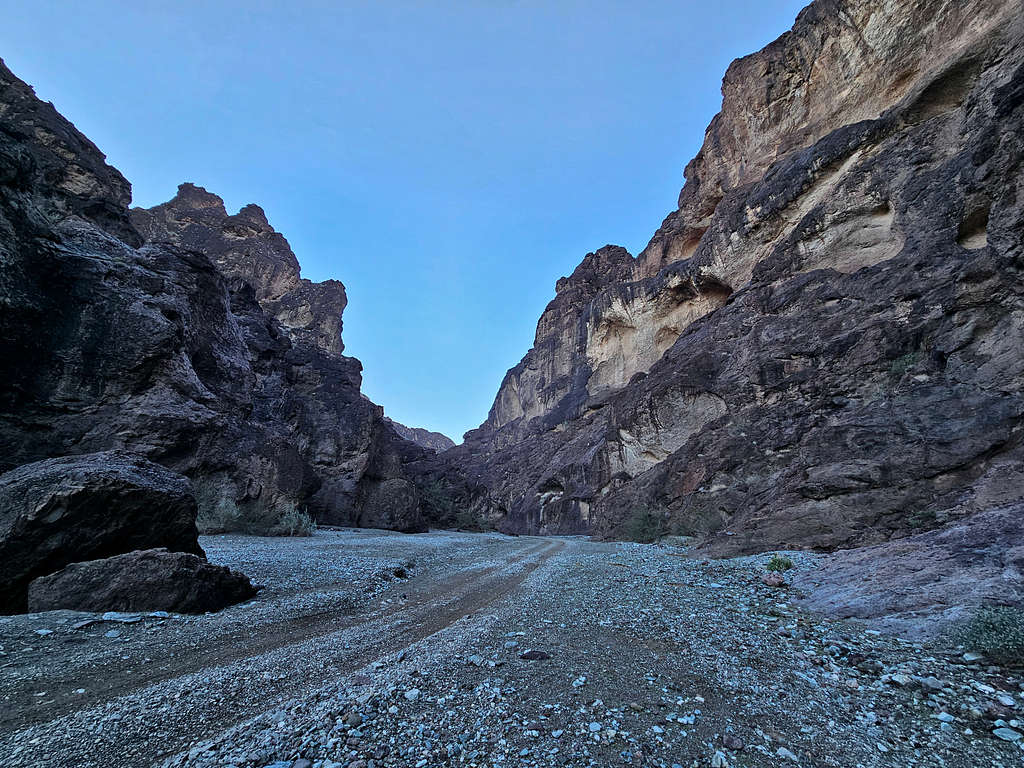
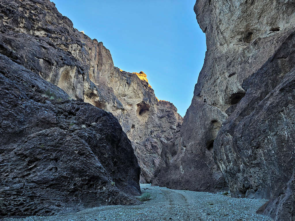
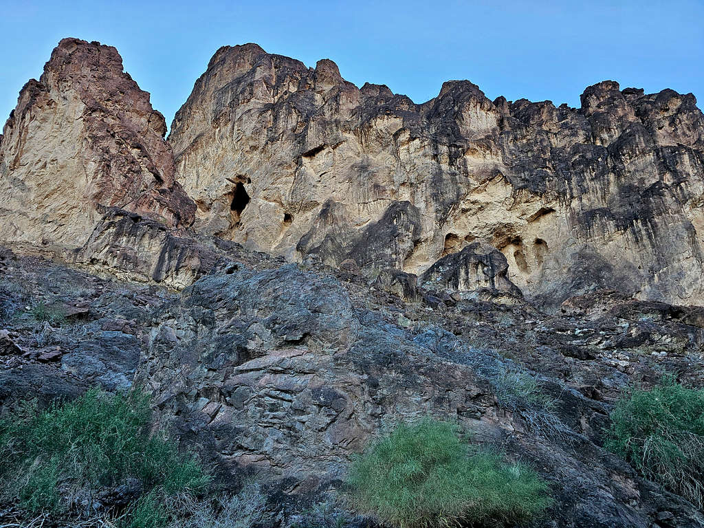
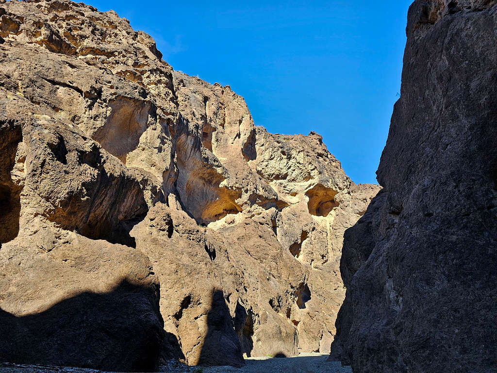
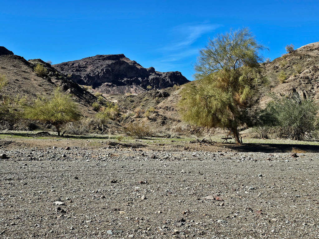
The canyon soon opened. I went on top of a rock and took these photos.
Cave at the southwestern end of Dynamite Canyon.
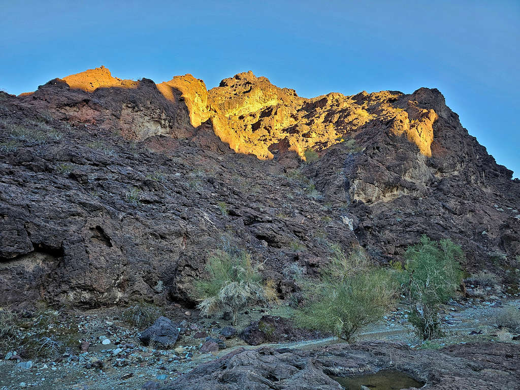
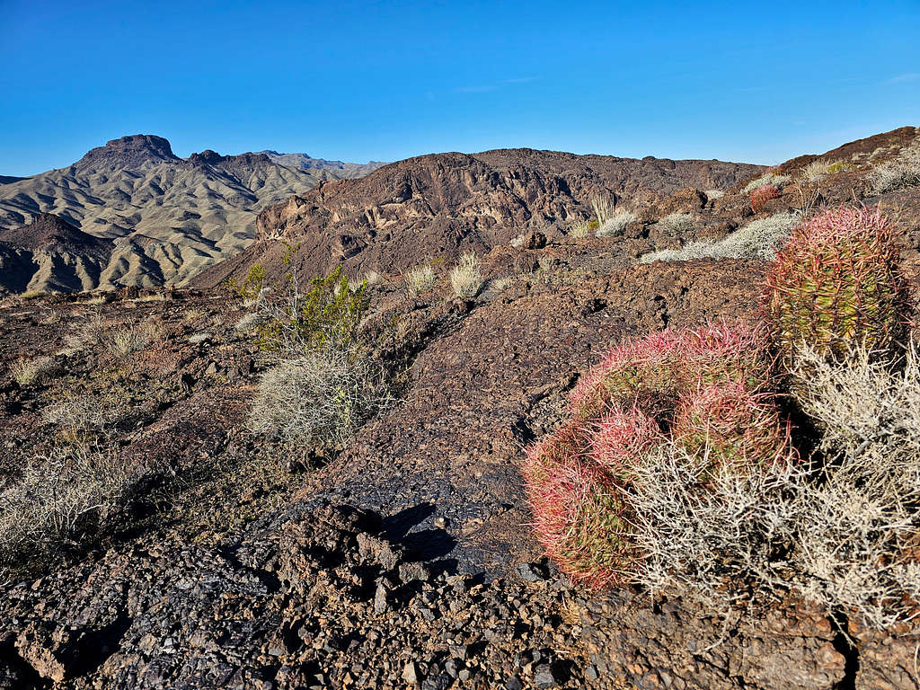
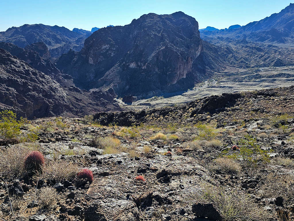
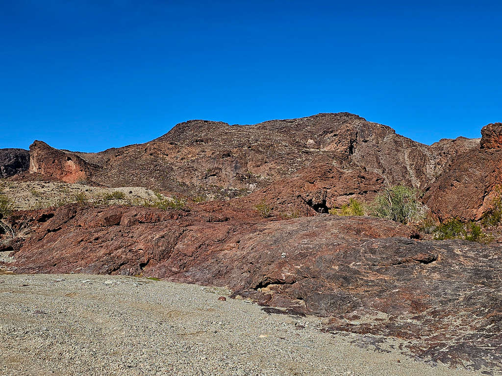
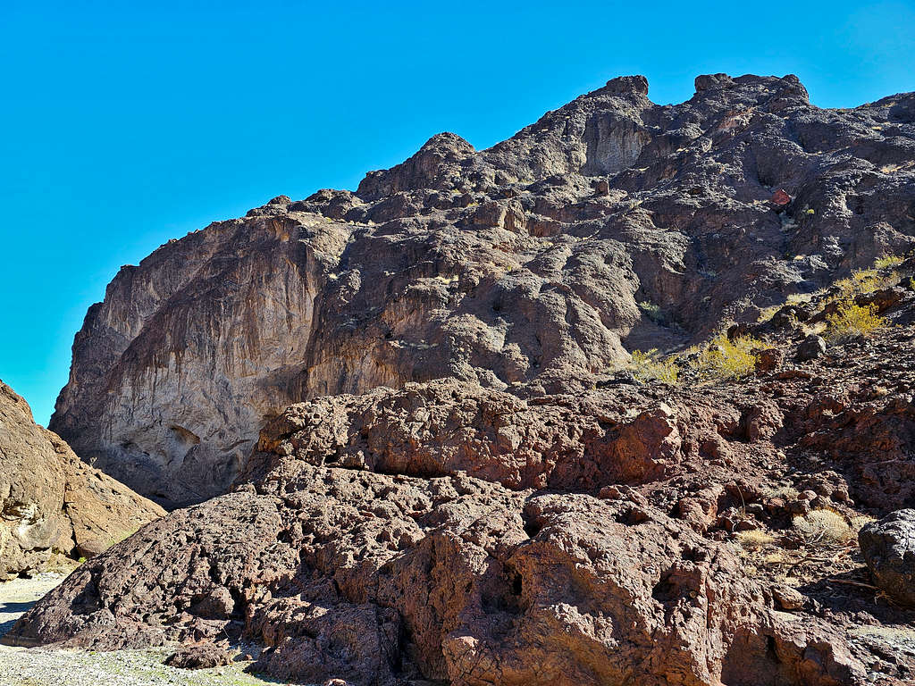
The slopes of Peak 1540 ft finally came to view. I was glad to see that they did not look hard.
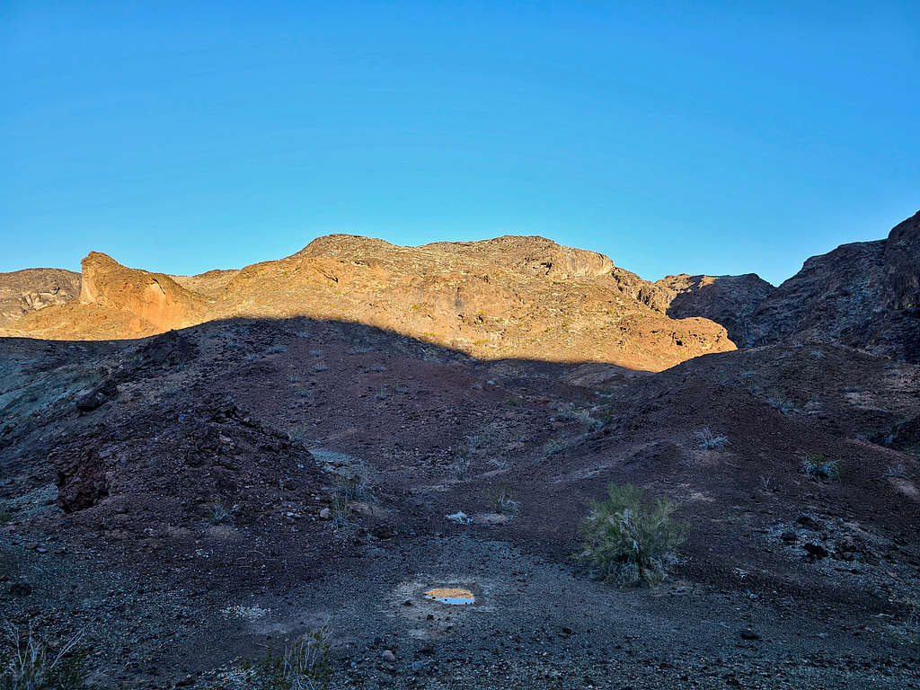
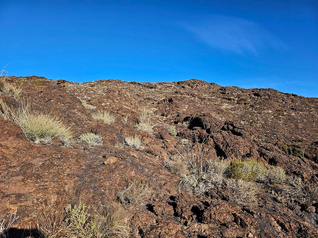
Got on the black rock slopes and began to go up. Once I went past a steep rocky area, the slopes eased up quite a bit.
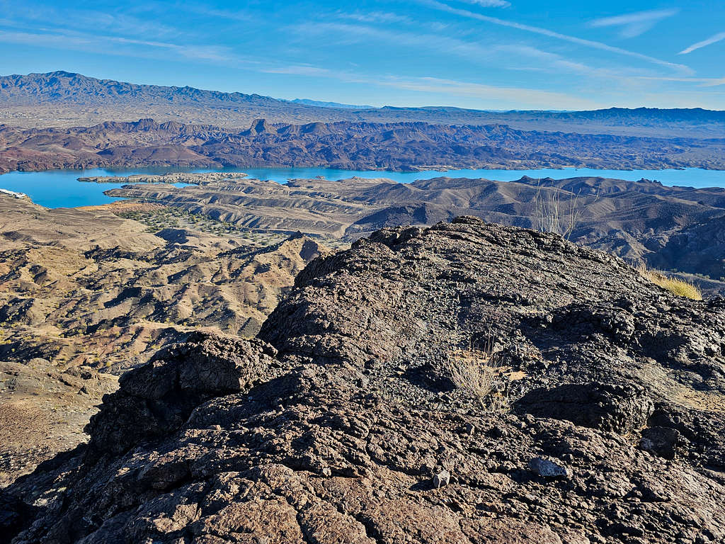
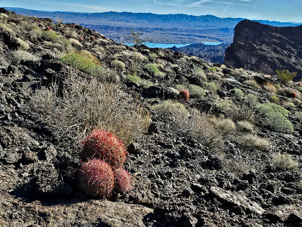
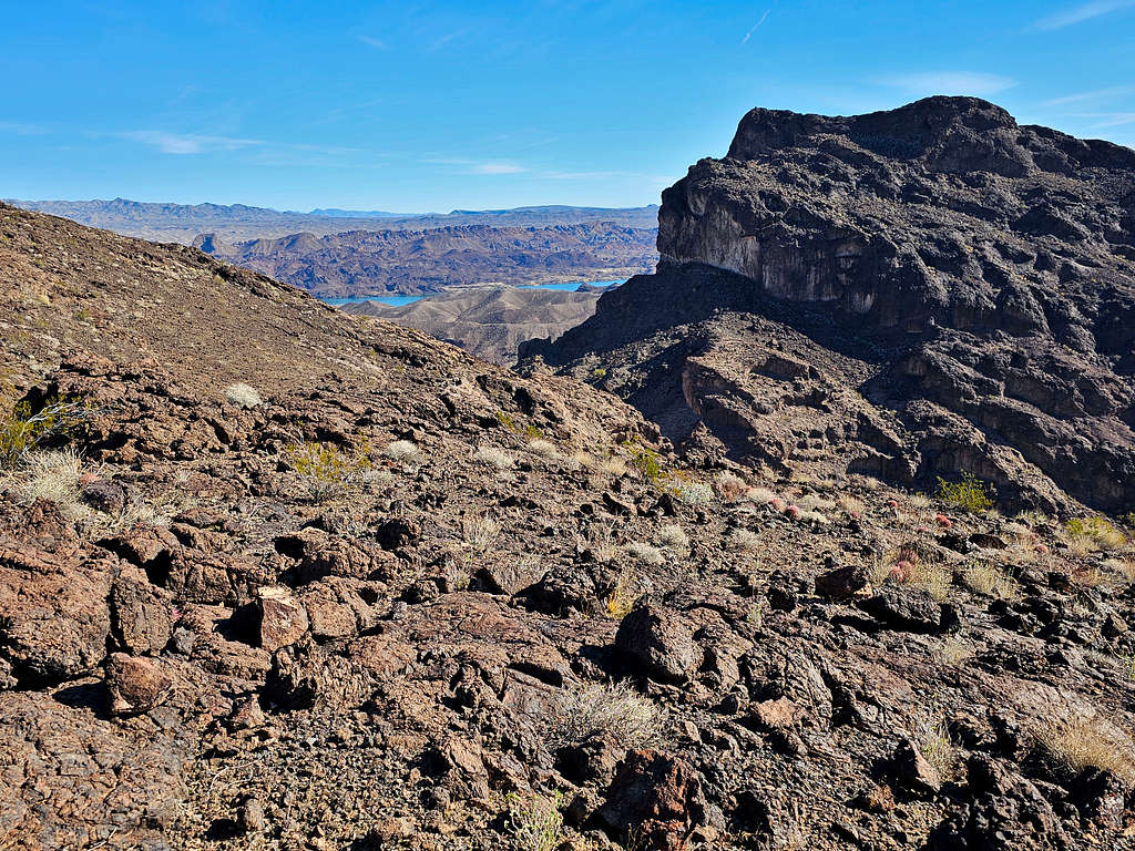
Looking at Peak 1500 ft. A part of Lake Havasu had come to view as well.
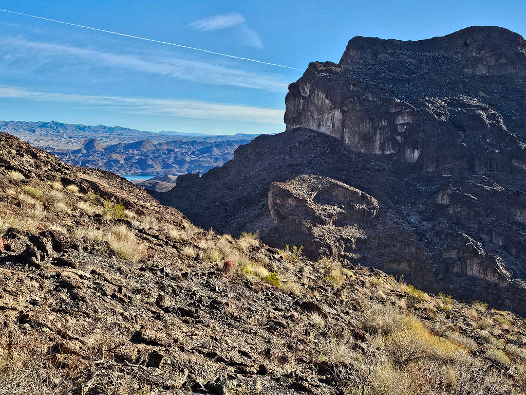
How does the vegetation on that slope survive the summer months when the average high is 110 degrees F? Direct sunlight on the black rock is bound to make the ground much hotter.
Reached the beautiful summit at 8:28 AM and 1.81 miles.
Looking southeast toward Peak 2833 ft.
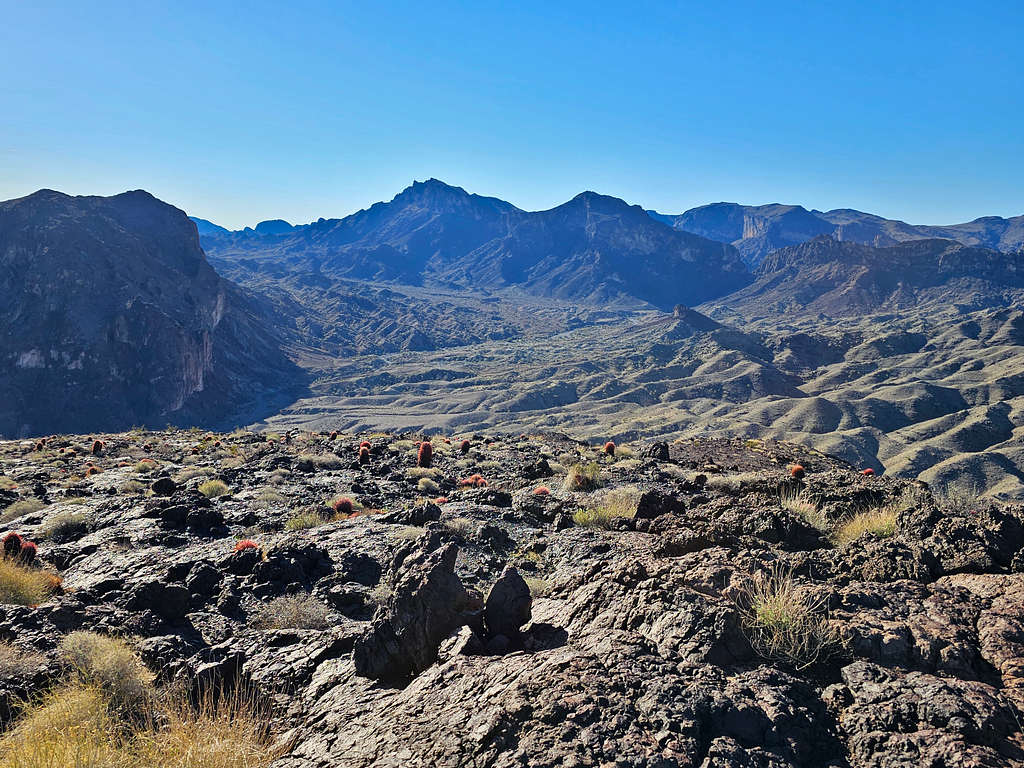
View southwest to the peak known as Cupcake. Whipple Mountains High Point on the far right.
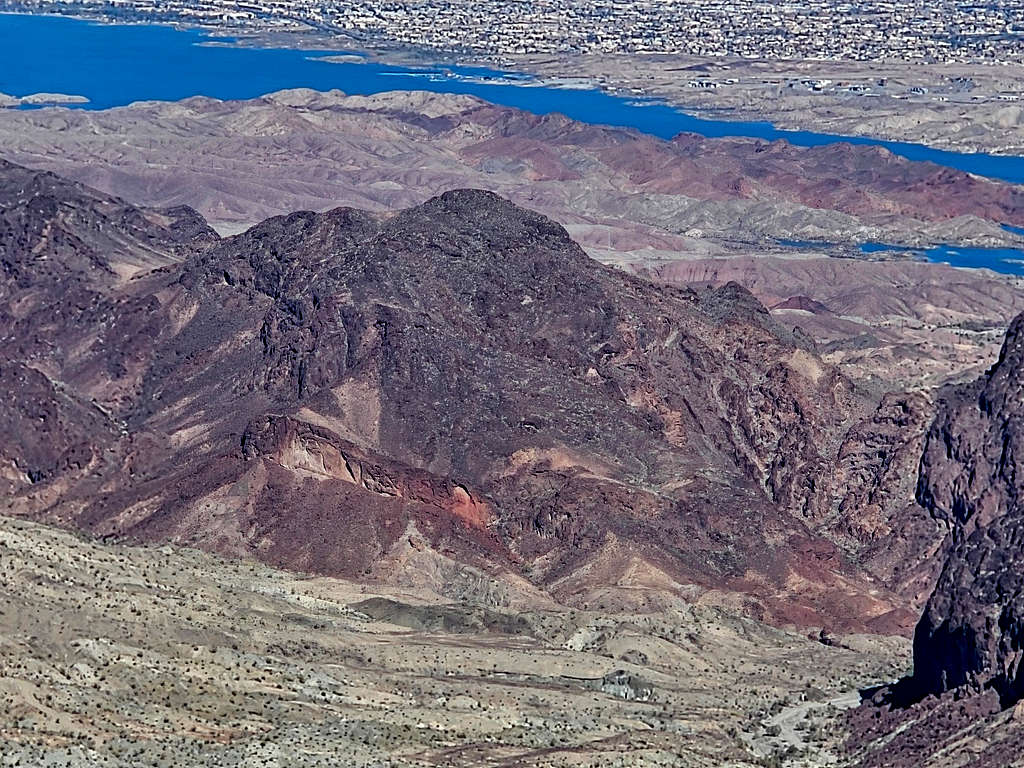
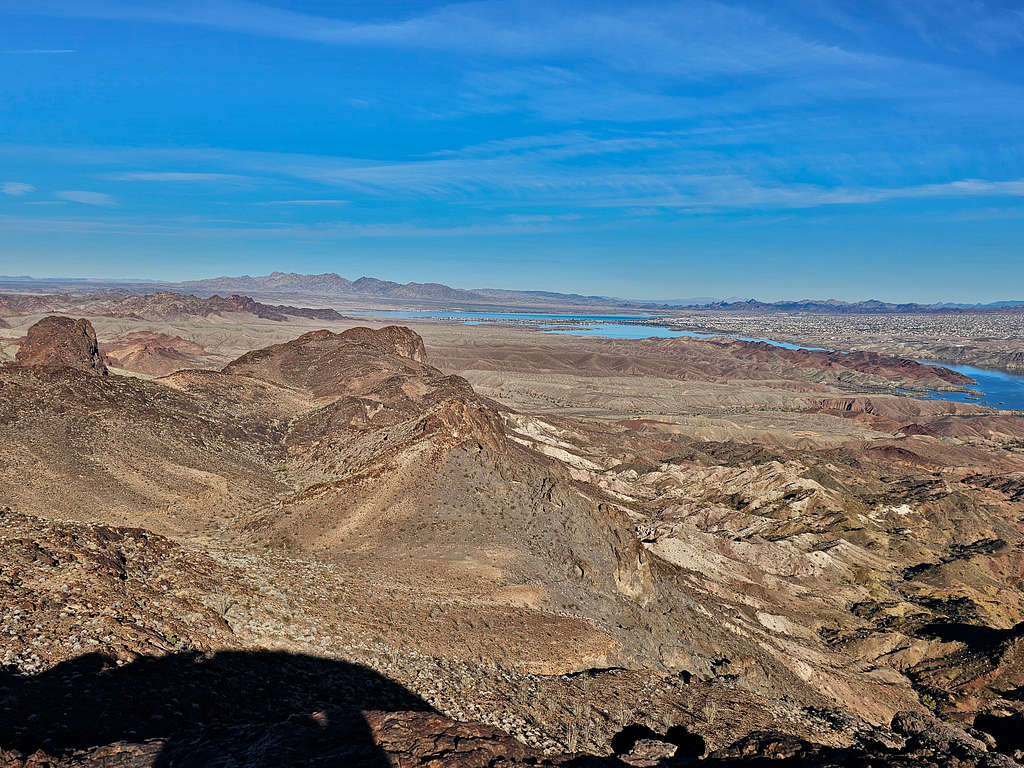
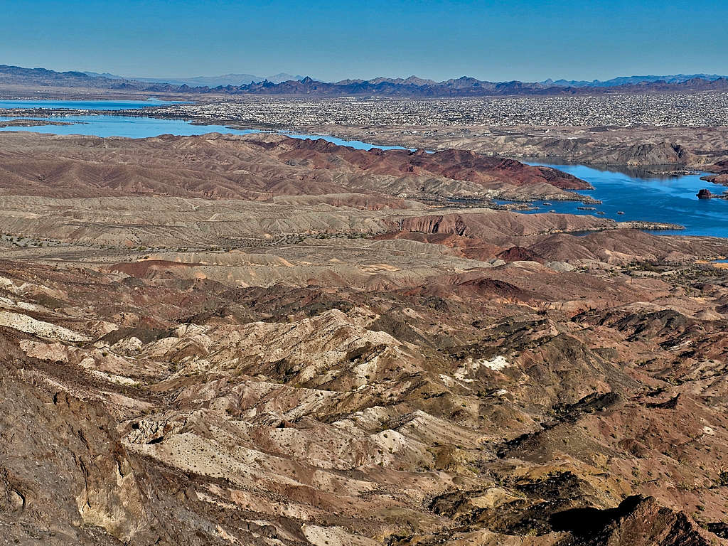
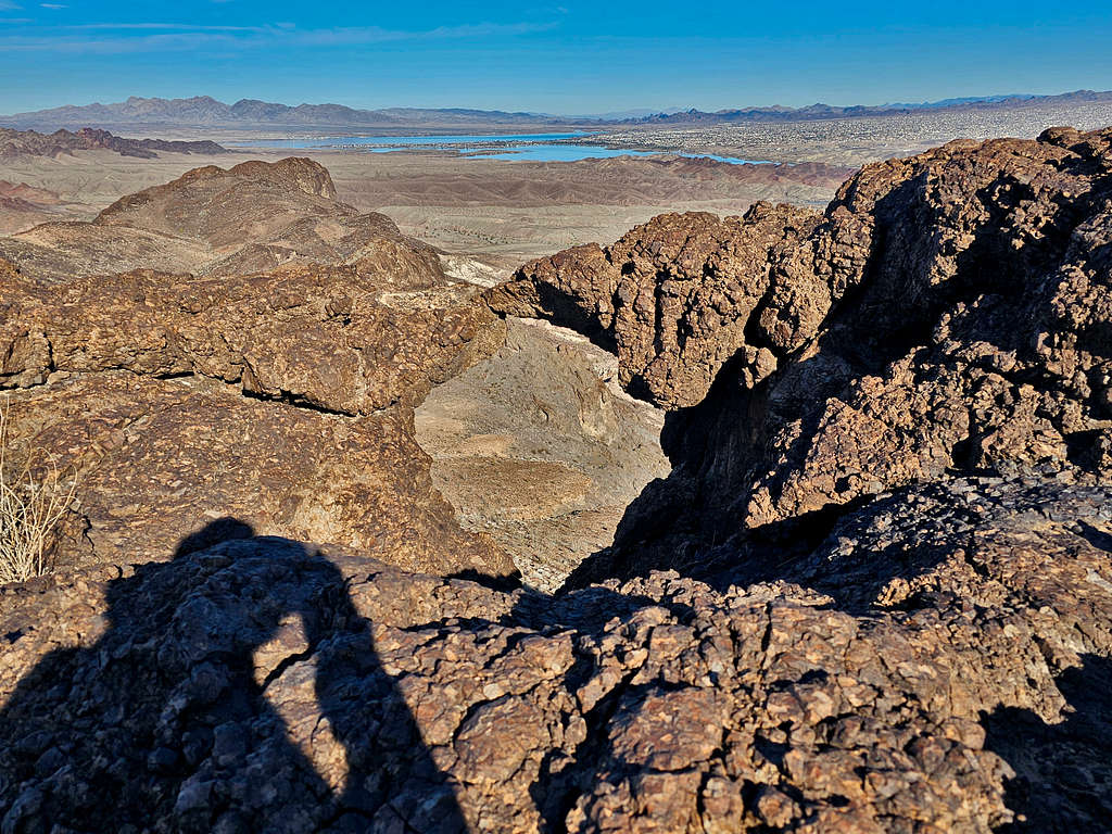
Looking north at Lake Havasu and Lake Havasu City. Crossman Peak seen.
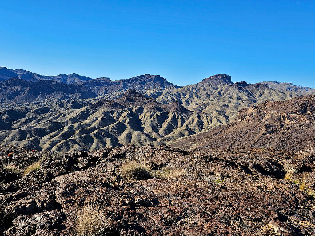
Looking east.
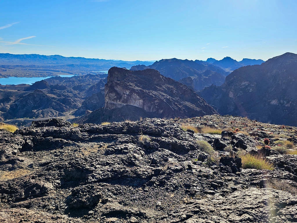
Looking southeast. Peak 1500 ft in front.
Nameless arch at the summit.
After eating and enjoying the views, I left at 9:05 AM retracing my way back down the mountain.
Dynamite Canyon and its cave again.
A look back at Peak 1540 ft.
Back in Dynamite Canyon again.
Reached my Jeep at 10:26 AM and 3.60 miles.
As I was getting ready to drive away, a train of 8 Jeeps appeared driving up Dynamite Canyon. I drove a short distance down the road toward Havasu Palms until the northeastern face of Peak 1540 ft came to view.
Red Tape
No fees or permits.
When to Climb
Winter is the best time to climb. Summer can get deadly hot. Even spring and fall might be too hot.