|
|
Canyon |
|---|---|
|
|
38.18050°N / 111.1811°W |
|
|
Spring, Summer, Fall, Winter |
|
|
Overview
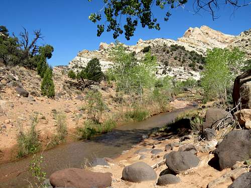
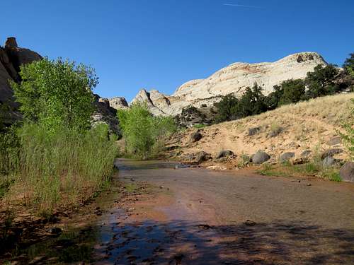
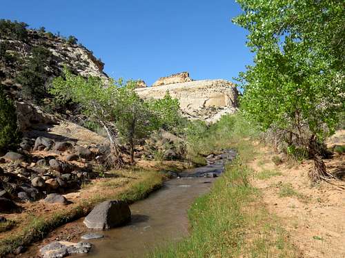
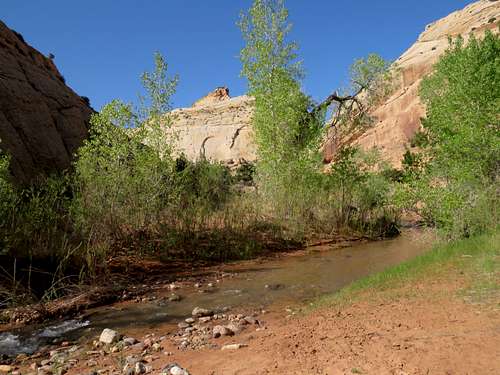
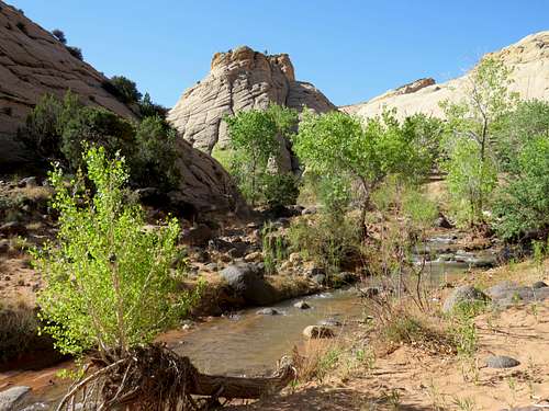
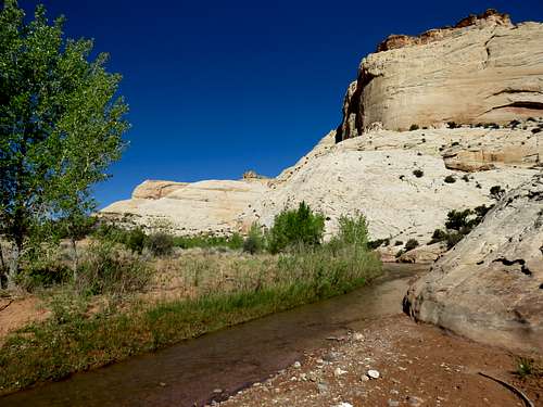
Pleasant Creek runs in central Utah’s Capitol Reef National Park. From the park’s Scenic Drive, the creek can be followed 3.8 miles at the bottom of a canyon to a fence at the park’s eastern boundary. There is no established trail but all you have to do is to follow the beaten path along the length of the creek. When I visited the area, the creek was ankle deep. My guidebook said that the creek has to be crossed 32 times (roundtrip). Bring your water proof boots or get wet feet, which may be a pleasant thing on a warm sunny day.
Getting There
From the park’s Visitor Center on Route 24, drive the paved Scenic Drive 8 miles south to a parking area for Capitol Gorge. Just before the parking, turn right onto a well graded dirt road and continue another 2.8 miles south past Capitol Reef Field Station and then a corral to a parking area with pit toilets.
The Hike
Elevation at start of the hike: 5920 ft
Elevation at end of the hike: 5550 ft
Roundtrip Hiking Distance: 7.6 miles
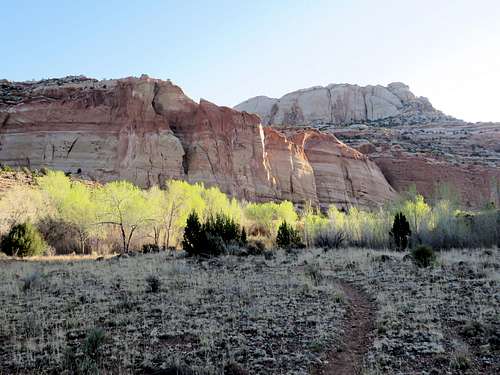
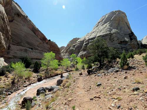
From the parking area head northeast and follow a beaten path toward a growth of cottonwood trees near red rocks at the mouth of the canyon. The trail is at first at a distance from the creek but reaches the creek in about 1500 ft.
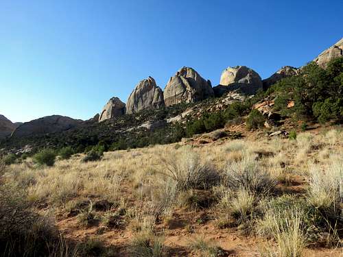
Looking back west at the slopes behind the parking area.
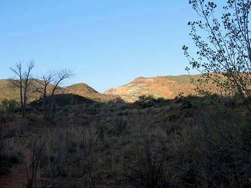
You will soon be inside the canyon and will have to do your first of the 30+ creek crossings.
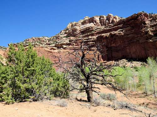
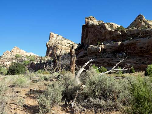
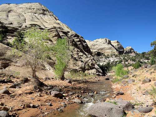
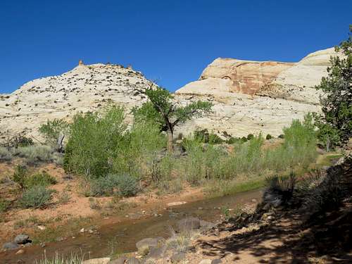
Canyon walls.
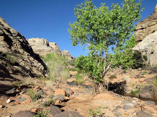
Some local residents.
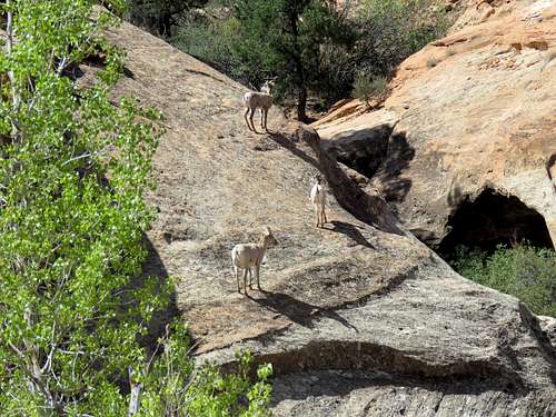
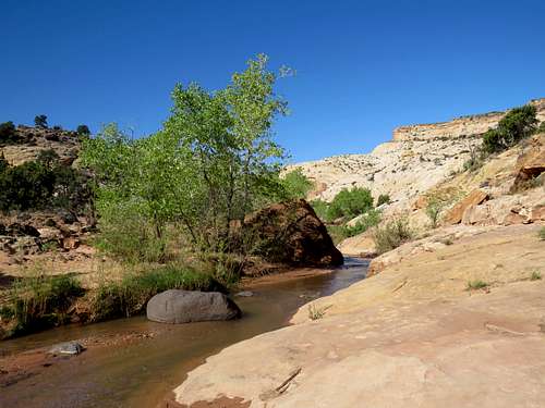
Another creek crossing.
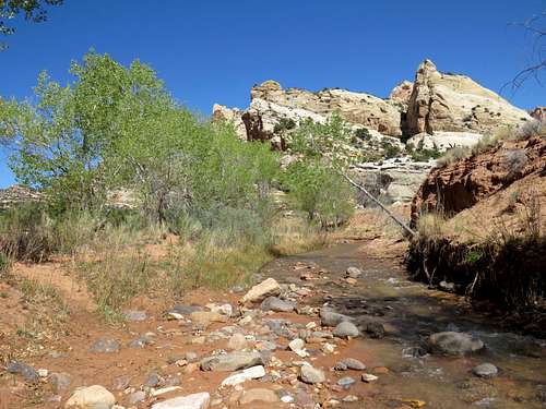
An open area.
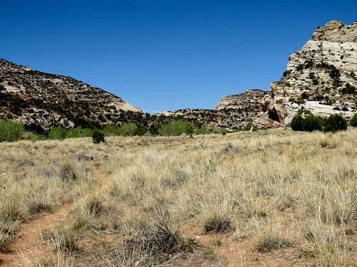
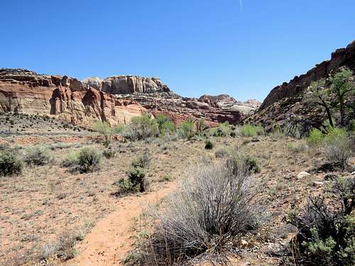
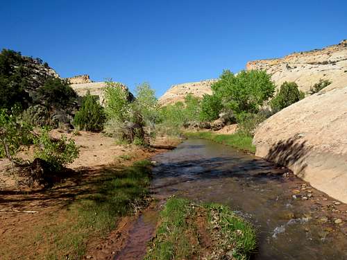
Farther down the canyon.
You will then enter an area of narrows.
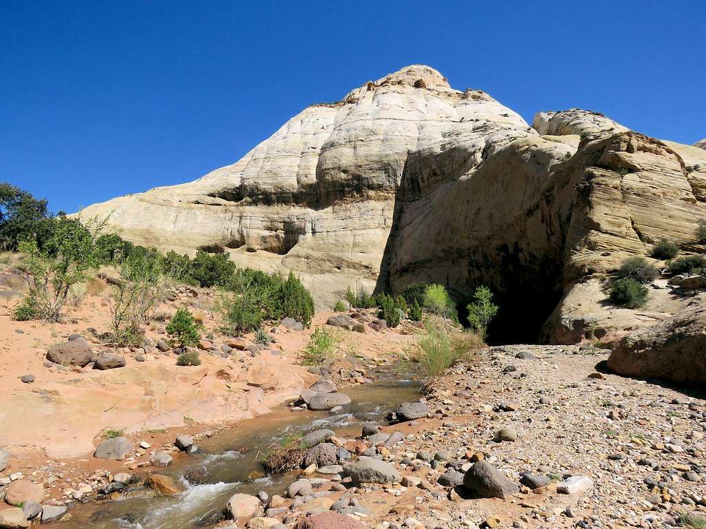
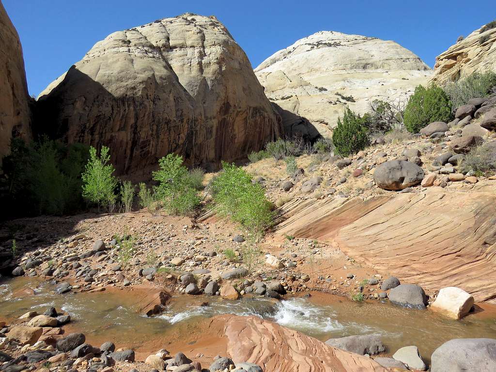
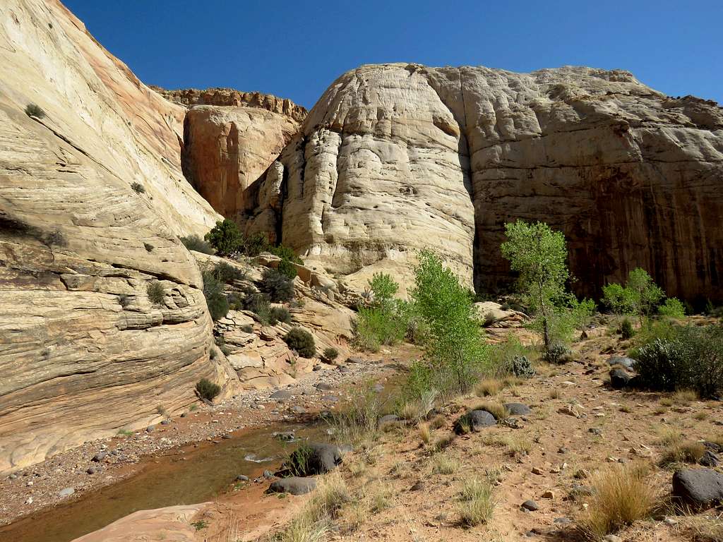
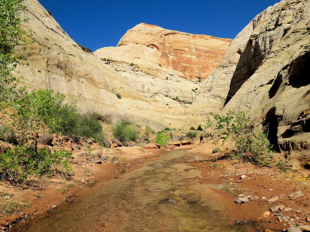
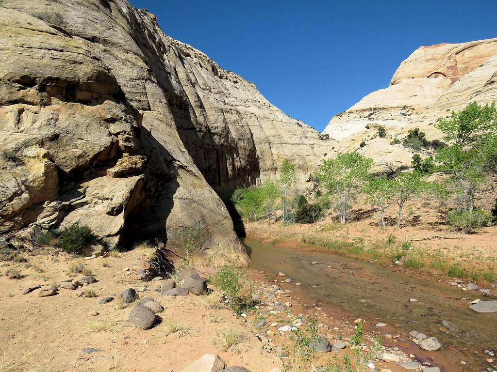
Opening after the narrows.
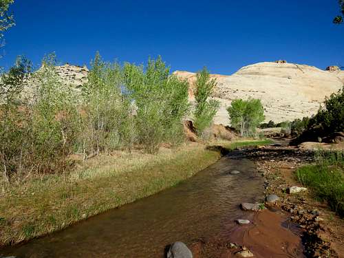
Further down the canyon.
To bypass a sharp bend in the canyon, the path goes up to a low dirt saddle.
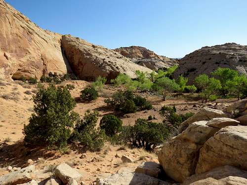
Near the end of the hike.
You will then reach a fence near the eastern edge of the park blocking further hiking. Retrace your path back to the parking area.


