
-
 13366 Hits
-
 81.18% Score
-
 13 Votes
|
|
Canyon |
|---|---|
|
|
38.57635°N / 110.89256°W |
|
|
Hiking, Bouldering, Canyoneering |
|
|
Spring, Summer, Fall, Winter |
|
|
Overview
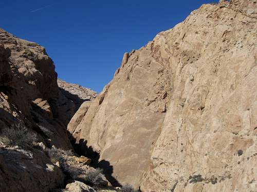
Ramp and Cistern are two remote canyons at the southern end of the San Rafael Swell. Ramp canyon has some very nice narrows and a large chalkstone that poses a problem for beginners. A 5.4 climbing move with moderate exposure is required to pass through Ramp Canyon. Cistern canyon is a simple walk through and isn't too spectacular but provides different scenery and a good second half of a great loop hike. It is recommended that one travels up Ramp canyon and down Cistern Canyon due to the climbing needed in Ramp Canyon that would be much easier going up.
Chalkstone at bottom of Cistern Canyon can easily be walked under
Getting There - Ramp and Cistern Canyon Loop
This loop incorporates Ramp and Cistern Canyons and takes you on the Wild Horse Road all the way until it gets to the Muddy River crossing past the trailheads for Little Wild Horse Canyon and Ding/Dang Canyons. This road starts heading east off of the Goblin Valley Road just before the entrance station and visitor center. A high clearance vehicle is needed to continue on the Wild Horse Road past the trailhead for Ding and Dang Canyons. The road weaves through bentonite hills and passes by an old homestead before getting to the Muddy River.
View of the San Rafael Swell amid bentonite hills from the Wild Horse Road
This river flows year-round and caution should be taken if one wishes to ford the river. For Ramp and Cistern park at the river and start hiking upstream in a westward direction on the north side of the river whacking your way through the grasses and bushes. After a short distance you will notice the river pinches out at a cliff and you will have to wade through the river twice to get by.
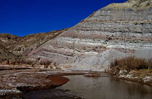
Wading the Muddy River to get around the cliff
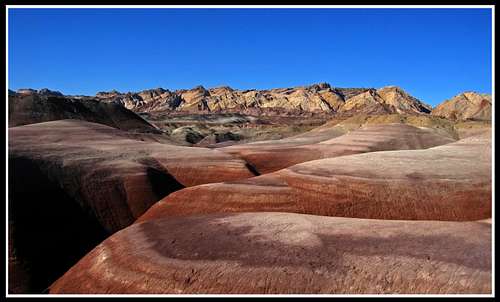
When I did this loop it was over Thanksgiving in 2009 and the water was very cold. Continue upstream by heading due west. Avoid all the switchbacks the river makes and head more in a straight line to shorten the mileage. After about 1.5 miles you will notice another large stream (may be dry in summer and fall) draining into the Muddy River from the south. This is Salt Wash and is the topic for another page. At this stream junction you will also notice you enter a very large valley between the San Rafael Reef directly ahead and a series of Entrada and bentonite hills and cliffs to your right. It's here that you will turn right and follow the valley in a northeastward direction. A small stream bed makes for a nice route as you walk up this beautiful valley.
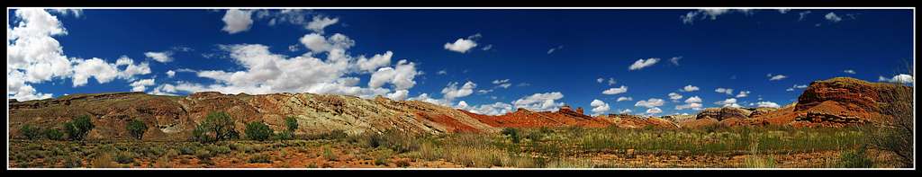
 The San Rafael Swell seen near the strike valley The San Rafael Swell seen near the strike valley | 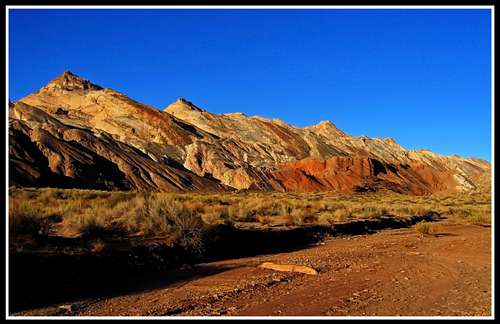 The San Rafael Swell from the strike valley at sunset The San Rafael Swell from the strike valley at sunset |
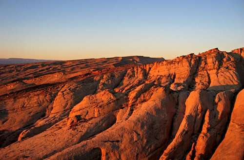 Sunrise on the Navajo cliffs of Quandary Canyon taken from the opposite rim
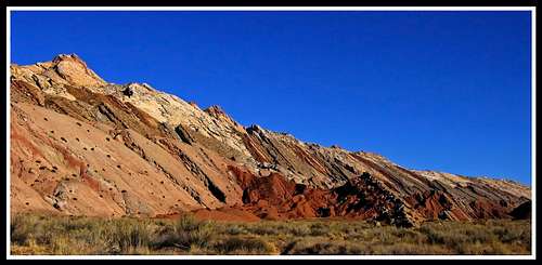 Sunrise on the San Rafael Swell
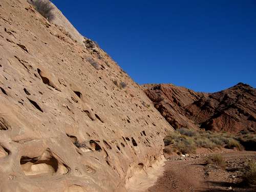 The infamous ramp in Ramp canyon The infamous ramp in Ramp canyon | 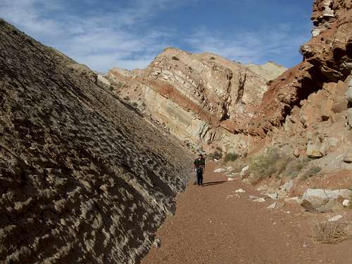 The large wall of tilted rock, Photo courtesy of Scott The large wall of tilted rock, Photo courtesy of Scott |
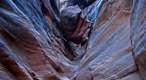
 Descending back into Ramp Canyon after passing the dryfall Descending back into Ramp Canyon after passing the dryfall | 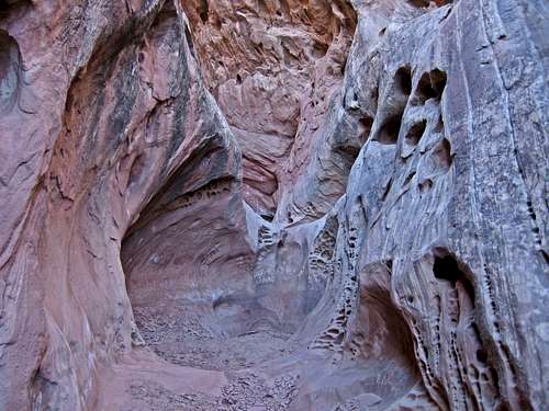 Ramp Canyon Narrows Ramp Canyon Narrows |
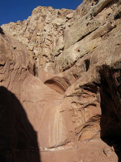 The large dryfall in lower Ramp Canyon...bypass on left
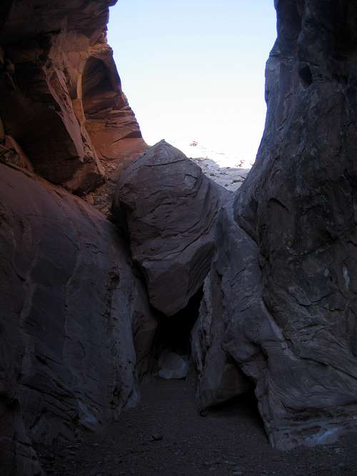 This is the 35 foot chalkstone that you climb over
 View of the Route, Photo courtesy of Scott
 View behind the reef
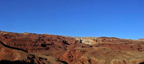 View of the Kassle country from the old road
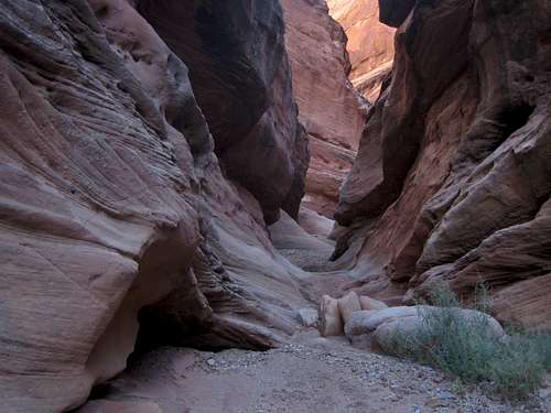 Cistern Canyon Narrows
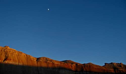 Alpenglow and moon rise on bentonite hills from Hunts Draw
 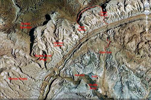 Ramp and Cistern Canyon loop, Google Earth image
Getting There - Muddy River Gorge
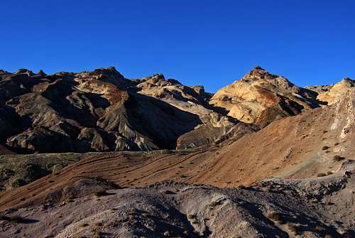
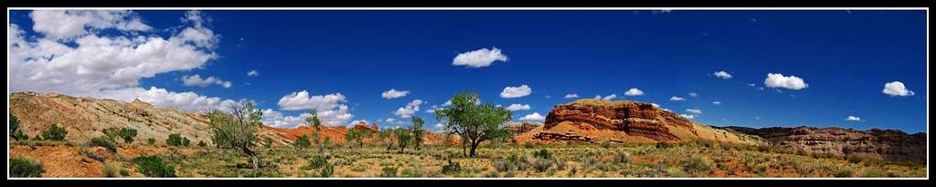
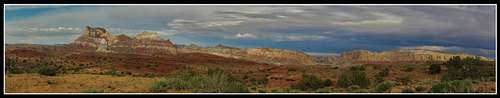 Temple Mountain Panorama from Temple Mountain Road
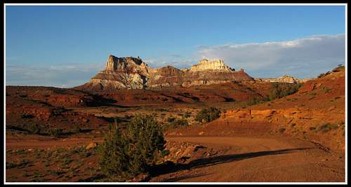 Temple Mountain from Temple Mountain Road
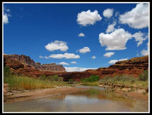 Entering the Muddy River Gorge Entering the Muddy River Gorge | 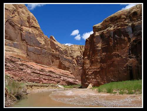 Entering the Muddy River Gorge Entering the Muddy River Gorge |
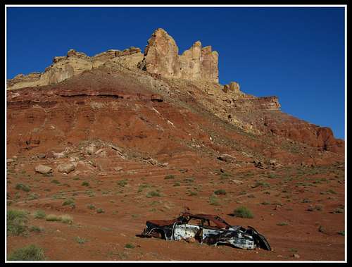 The old Ford car at the Quandary Canyon trailhead