Toggle navigation
Mountains
Routes
Images
Trip Reports
Forum
What's New
People
Areas & Ranges
Articles
Trailheads
Canyons
Huts & Campgrounds
Albums
Logistical Centers
Fact Sheets
Lists
Custom Objects
Gear
Plans & Partners
WELCOME TO SUMMITPOST
SIGN IN
REGISTER
Mount Stirling
Additional Parents
Image
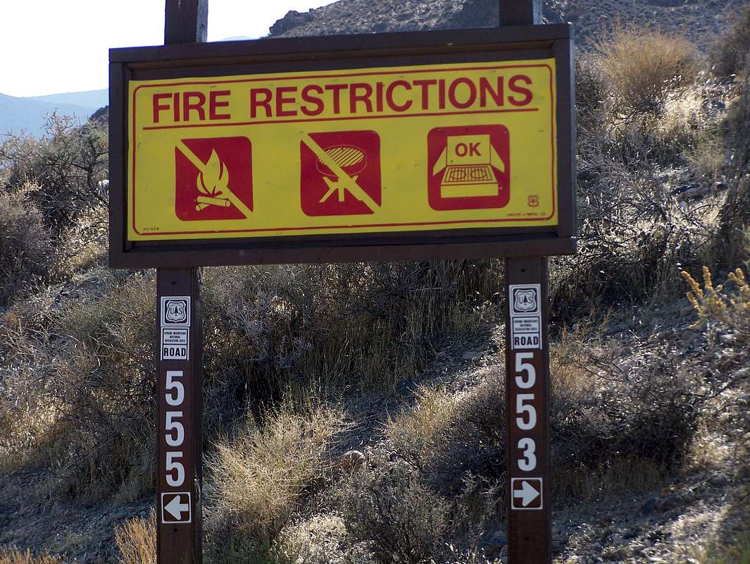
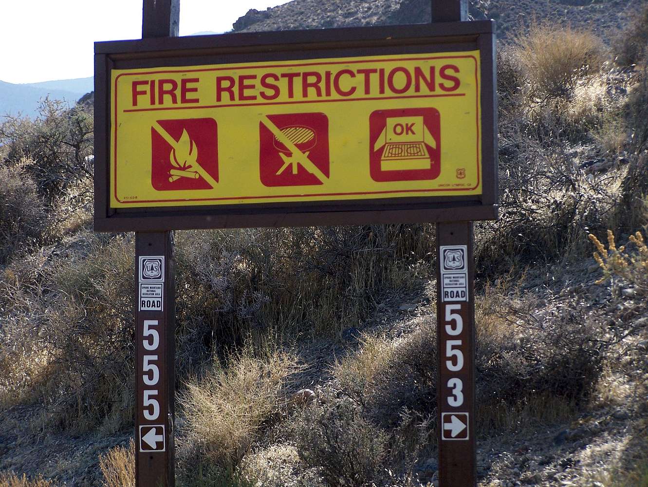
Road Sign
View High-Resolution Image
Road Sign
After 5.9 miles along the dirt road heading South from HWY 95 you will reach this fork. Turn right and take road 553. This is also the route needed to continue to get to
Mt. Stirling
if you are going to hike it as well.
« PREV
NEXT »
redsplashman23
on
Mar 20, 2007 5:13 pm
Comments & voting
Other parents
Lat/Lon:
36.49910°N / 115.97455°W
Image Type(s):
Informational
Image ID:
279699
3906 Hits
71.06
% Score
1
Votes
Log in to vote
Comments
No comments posted yet.
to post!
Don't have an account?
Mount Stirling
(Mountain/Rock)
« PREV
Viewing
#16 of 30
GALLERY
NEXT »
redsplashman23's Image Gallery
« PREV
Viewing
#1127 of 1606
GALLERY
NEXT »
Jaybird Peak
(Mountain/Rock)
Loading....
Jaybird from the Southeast
(Route)
Loading....
From the North
(Route)
Loading....
Jaybird Peak 3-18-07
(Trip Report)
Loading....
×
You need to login in order to vote!
User Name
Password
Remember me
Forgot your password?
Log me out when I close my browser.
Keep me logged in all the time.
sign in as a user
Don't have an account?
Register now for FREE
Rating available
Suggested routes for you
People who climb the same things as you
Comments Available
Create Albums
Register Here


