
|
|
Route |
|---|---|
|
|
36.07275°N / 115.47767°W |
|
|
Scrambling |
|
|
Half a day |
|
|
Class 4 |
|
|
Overview
Near base of ridge
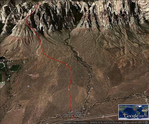
Google route trace
Getting There
From Charleston Blvd and the 215 Beltway in the western part of Las Vegas, take Charleston Blvd. (Highway 159) west for about 5 miles to the entrance to Red Rock Canyon NCA. Do not enter here…continue on Hwy 159 past the exit from Red Rock loop and go about 4 miles to the formal trailhead for First Creek on the right side of the road.Route Description
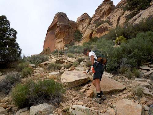
As you start hiking west across the desert from the First Creek trailhead, follow the well defined trail to the point where it makes a 90 degree turn to the left (south) and when it bends back toward the canyon, head across the desert toward the east face of Indecision Peak. You gain elevation on an ascending traverse from the north to the south side of the lower portion of the east face.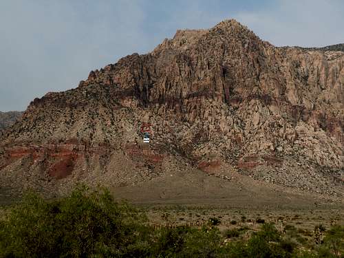
arch location viewed from trailhead
There are various ways to ascend the initial portion of the climb including the rock strewn gully described in the original east face gully route description. If you prefer a more enjoyable route, look for cairns marking a variation that lies north of the gully route and climbs along a sub ridge as indicated on my Google maps route trace.
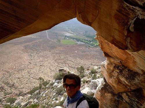
arch
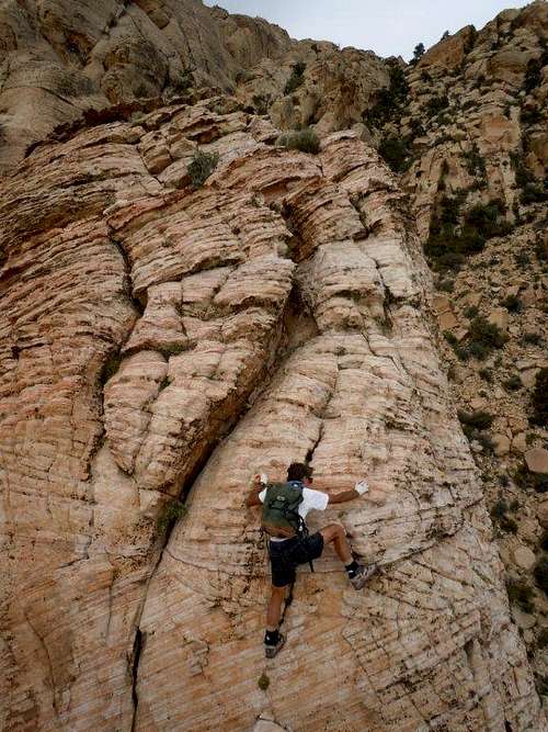
exciting section
The SE ridge is gained a little north of the smooth faced rock used as a guidepost in the original route description.
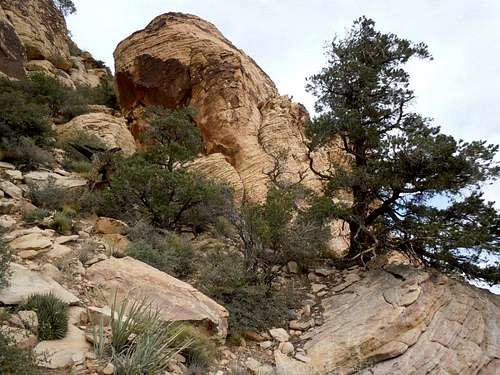
landmark tree & boulder near start
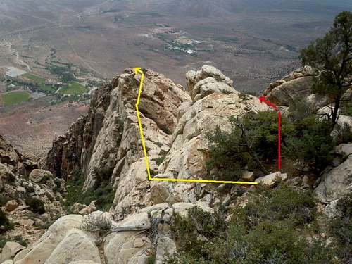
routes merge
Camping
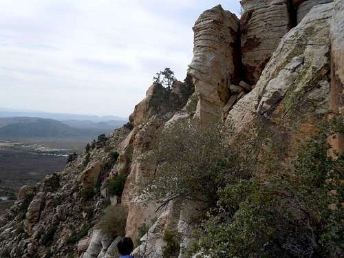
View south near arch