
-
 8079 Hits
-
 0% Score
-
 0 Votes
|
|
Route |
|---|---|
|
|
58.26054°N / 134.32526°W |
|
|
Download GPX » View Route on Map |
|
|
Hiking, Mountaineering |
|
|
Summer |
|
|
Most of a day |
|
|
Class 3 |
|
|

Overview
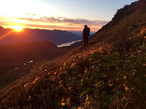
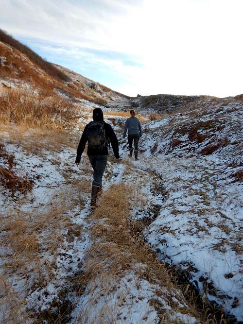
The Sheep Creek Route climbs just over 4,000' in approximately 6.9 miles round trip and is the is the best route to Middle and West Peak. It climbs up a even yet steep incline and is muddy in places. It is best climbed in the summer and fall. The route crosses some avalance prone areas, so spring descents might be best done from the Little Creek Route.
Keep a lookout for hoary marmots, spruce grouse, and wild flowers. Avalanche danger may persist until late spring, and large snow banks may be present on the steep sections of this trail.
See attached .gpx for an exact route or check out the Juneau Hikes and Summits CalTopo page.
Getting There
From Downtown Juneau, take Egan Drive South which becomes Thane Road for 4.8 miles. There is plenty of parking near the mouth of Sheep Creek
Route Description
The Sheep Creek Route starts after the Sheep Creek Bridge on Thane Rd right in front of mailbox number 4545. It heads straight up the small berm and is an easy to follow trail. It crosses under powerlines at mile 0.2 about midway between the 1st and 2nd pole south of Sheep Creek. From here it turns South-East and climbs up following a tributary of Sheep Creek.
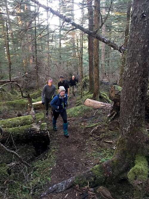
It’s muddy in a few places, buy easy to follow, as it is user maintained. The trail breaks timberline suddenly and crosses the creek a few times.
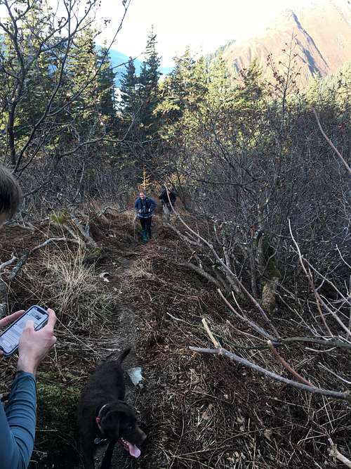
The alders give way to grassy meadows and trail becomes faint. The West Peak is visible to the Left, so climb over the hill/ridge on climbers Left and across the basin to the North ridge of West peak.
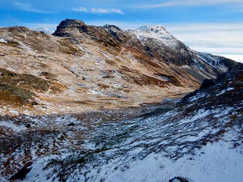
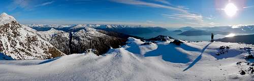
Follow this ridge to the summit. There is a bit of steep terrain for the last 200' of the climb so crampons and ice axe might be handy in the winter. Immediately to the East is Middle peak and is an easy walk 0.2 miles down the ridge and back up a hill to get there.
Essential Gear
Dress appropriately. The rains are very consistent and can easily penetrate through your gear. I recommend dressing in clothing that can get wet and still keep you warm- wool works great. Then, above tree line, change into dry clothes and rain gear. Waterproof boots are necessary and gators help keep your socks dry. Having a SPOT or InReach is a great idea. Bring extra dry/warm stuff. There is cell service for much of this hike.