
Comments
No comments posted yet.
|
|
Trip Report |
|---|---|
|
|
Download GPX » View Route on Map |
|
|
Feb 5, 2023 |
|
|
Hiking, Mountaineering |
|
|
Winter |
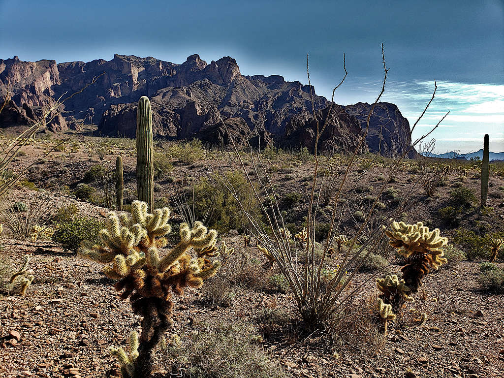
The 4877 ft Signal Peak is a local high point in southwestern Arizona’s KOFA National Wildlife Refuge an hour north of the city of Yuma. From its summit, you will have great views of the surrounding desert plains and the jagged nearby peaks. A 1.9-mile one-way well-beaten path starts in Kofa Queen Canyon to the northeast of the peak and takes you to the summit. Reaching the starting point, requires driving on rough dirt roads. To lessen the drive, I parked at a spot on the desert plain before where the road entered the canyon. The hike in the canyon itself turned out to be quite scenic.
Elevation where I parked: 2165 ft
Summit Elevation: 4877 ft
Hike Length: 10.38 mile
February 5, 2023
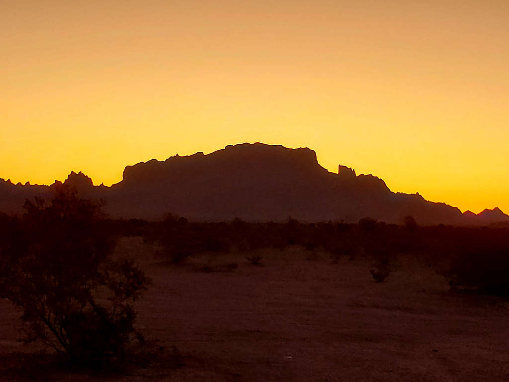
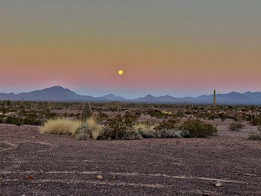
Left the vacation rental house in Yuma, Arizona at 6:20 AM (sunrise 7:30 AM). It began to light up as I drove more than 50 miles north on Route 95. Past mile marker 85, I turned east onto a signed dirt road for KOFA National Wildlife Refuge Palm Canyon. The shadow of Signal Peak could be seen to the east against the yellow/orange sky.
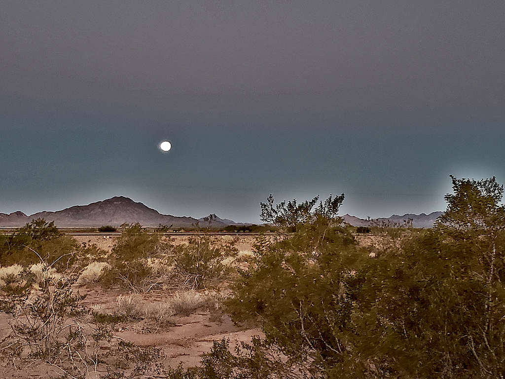
Full moon still visible to the west.
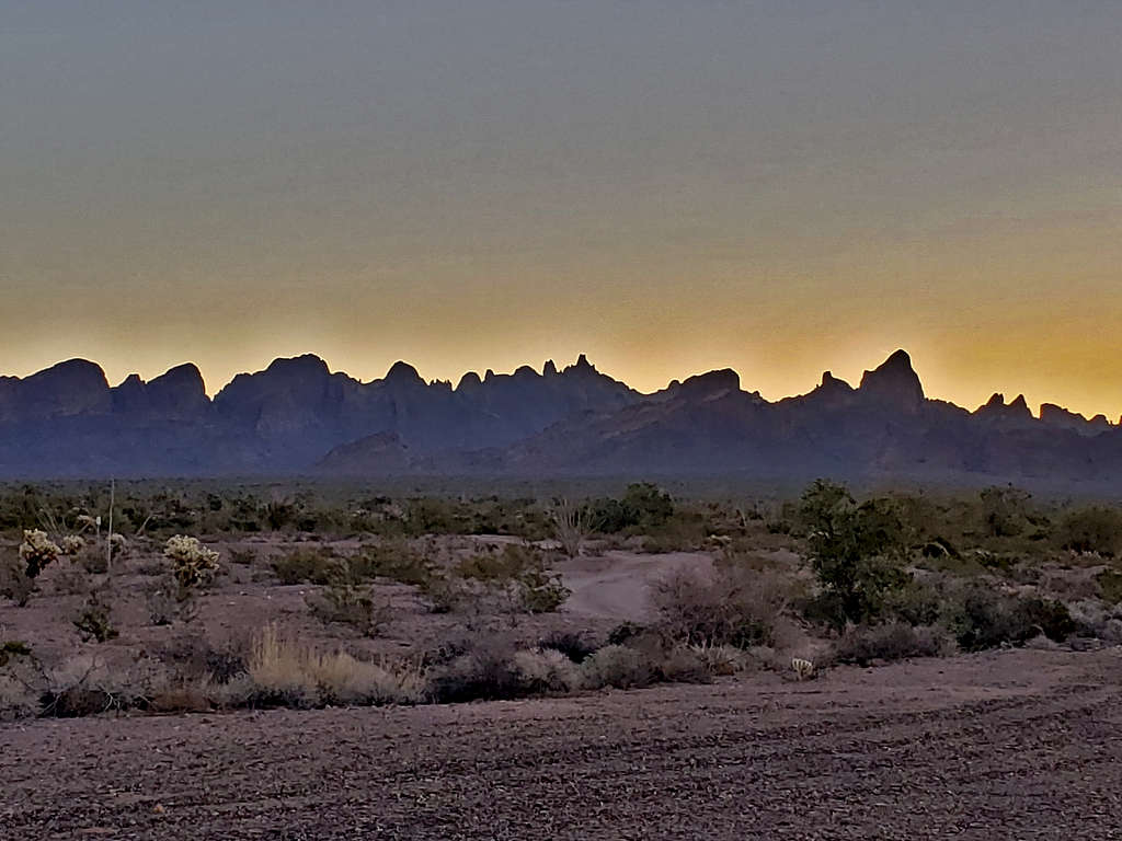
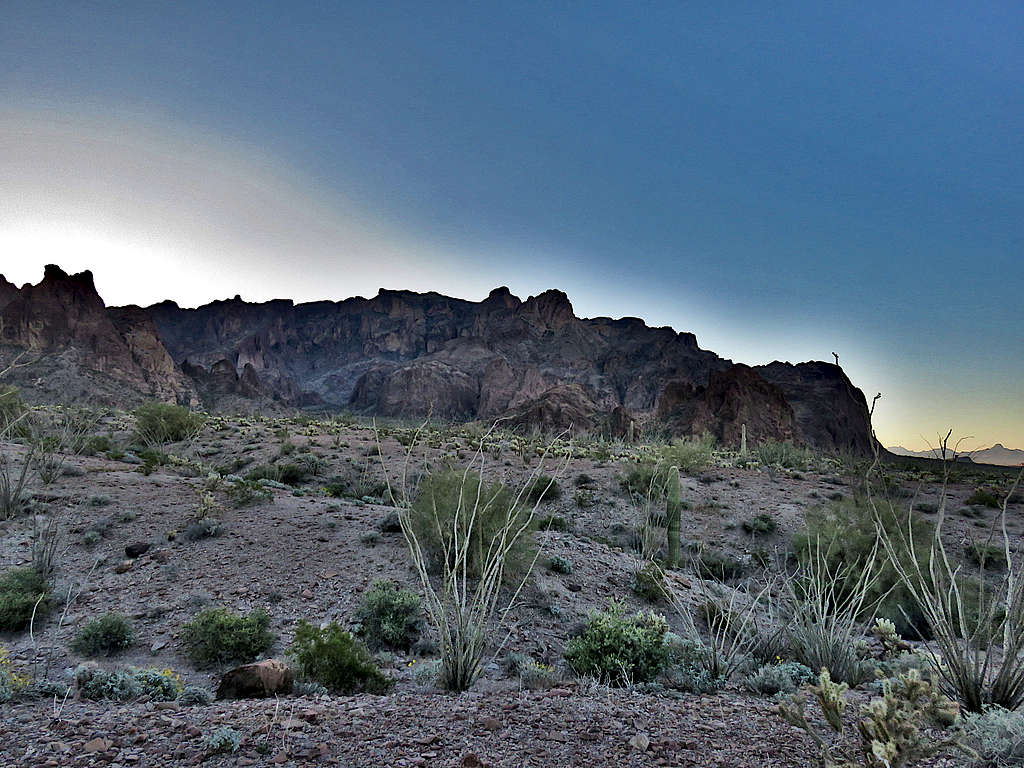
Shadow of the jagged mountains to the north of Signal Peak.
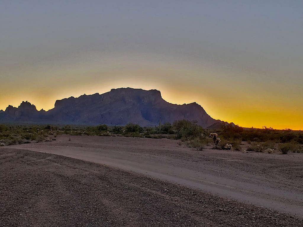
Went east 3.4 miles on the well graded dirt road. Saw lots and lots of RVs where people had camped. Another view of Signal Peak.
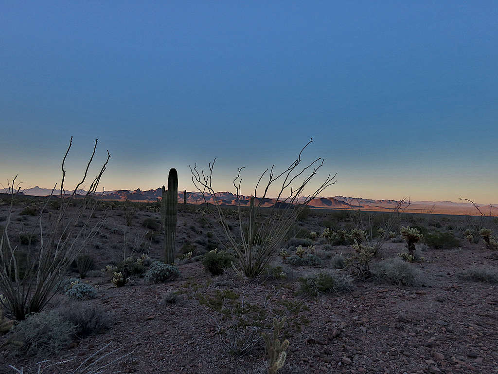
I then turned north and got on a two-track which eventually turned east and went toward the mountains at the mouth of KOFA Queen Canyon. Earlier, on the map, I had measured 4.5 miles until the two-track went into the canyon, where I had originally planned to park. I had a rental Dodge 1500 Ram pickup truck, but the darn thing did not have 4-wheel drive and I was paranoid about getting stuck in a rough spot (although in hindsight, the road was not all that bad). The moon still visible.
Half a mile before entering the canyon, I found a parking spot and decided to start my hike. By the time I began to hike, it had become 8:00 AM. It was 50 degrees F and elevation was 2165 ft. View of Signal Peak.
Looking south.
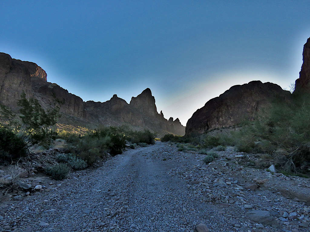
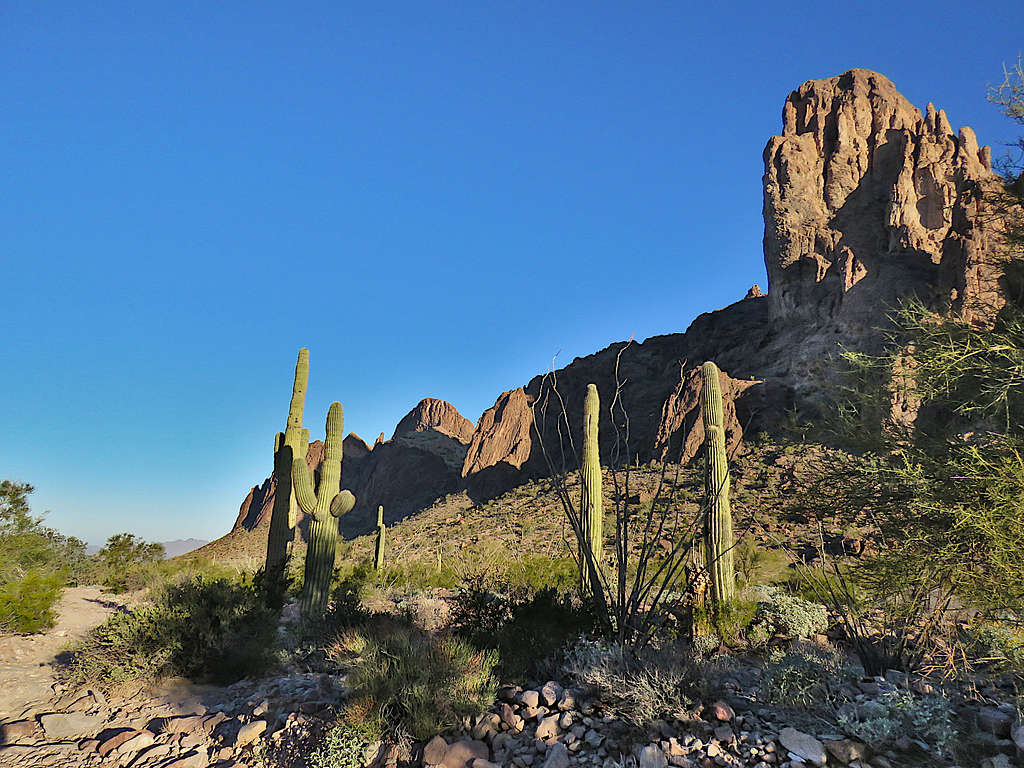
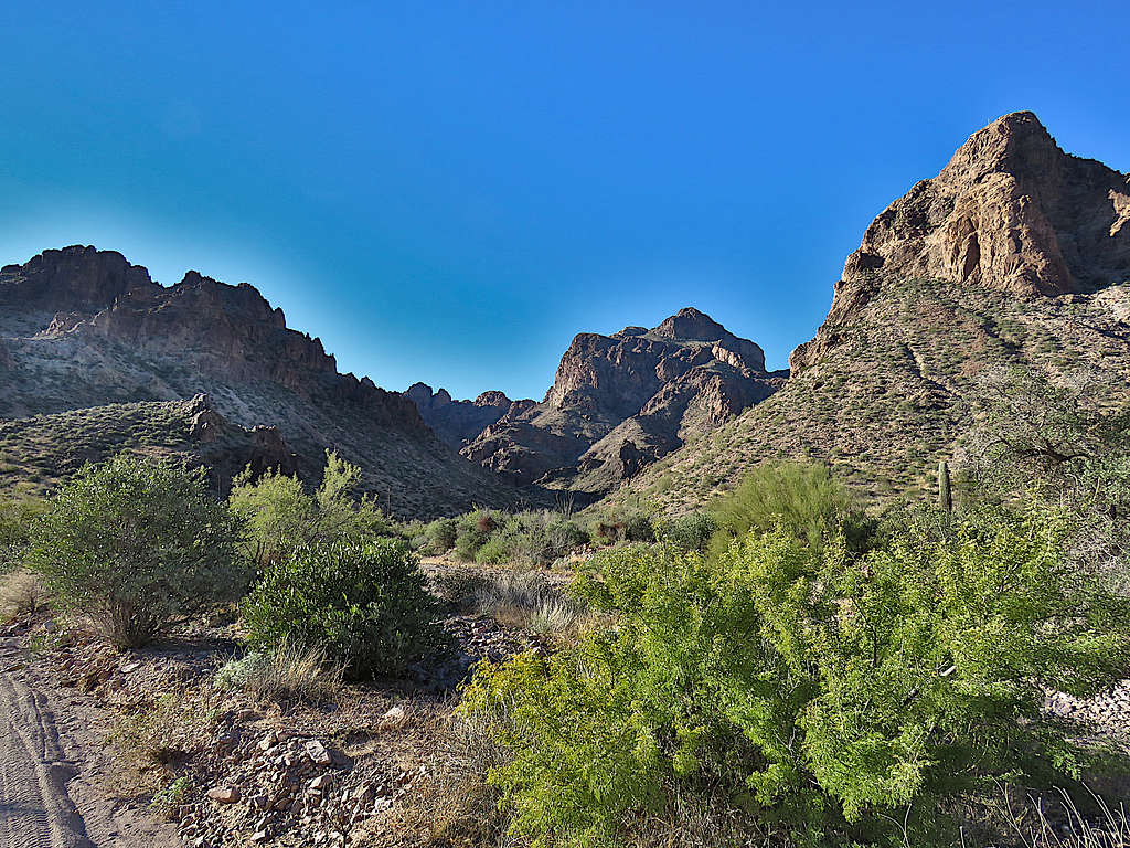
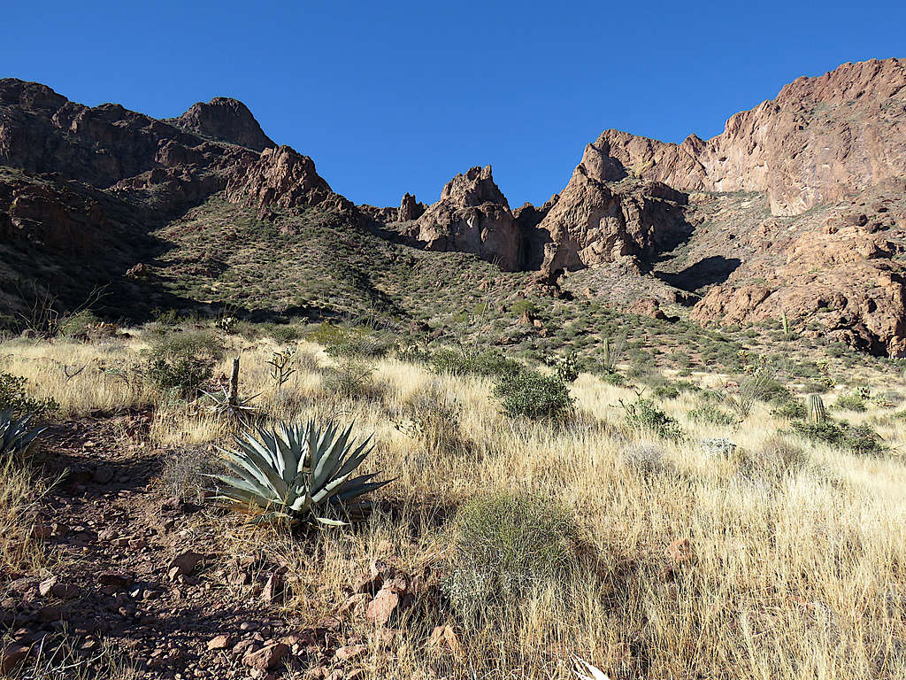
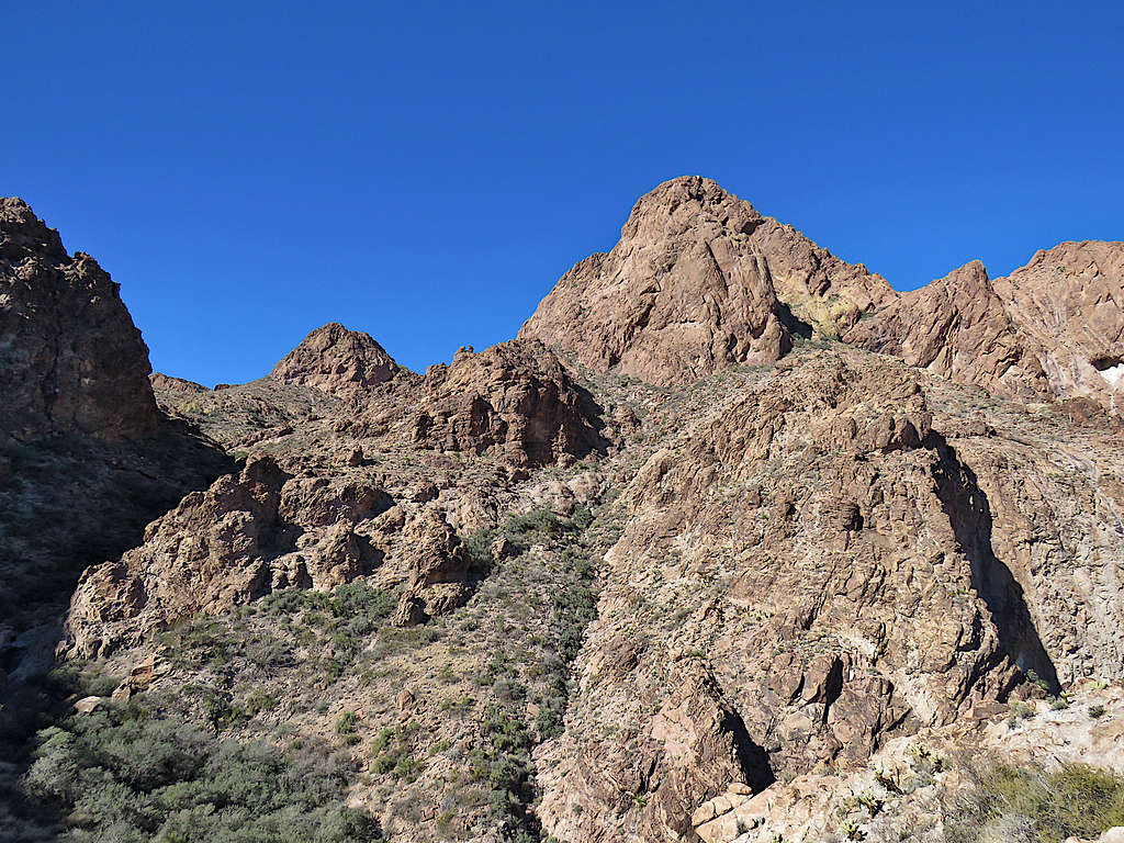
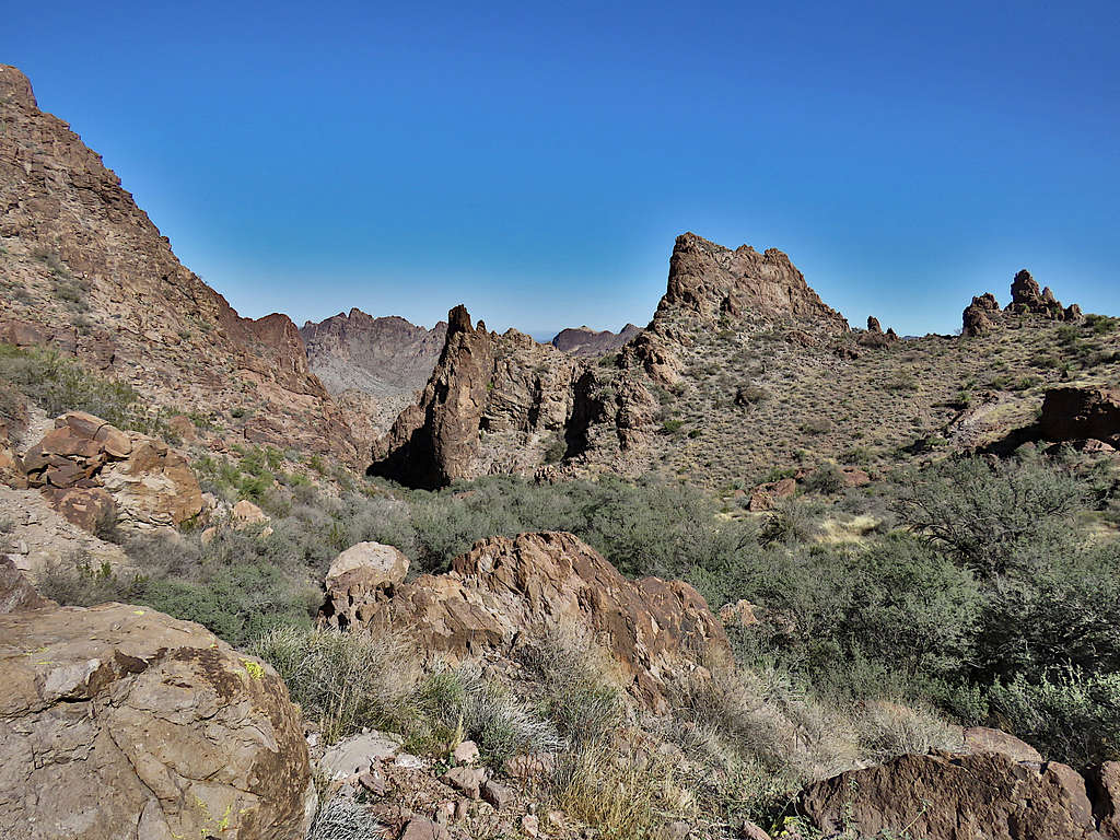
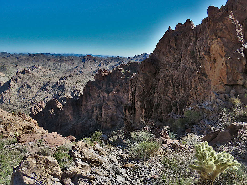
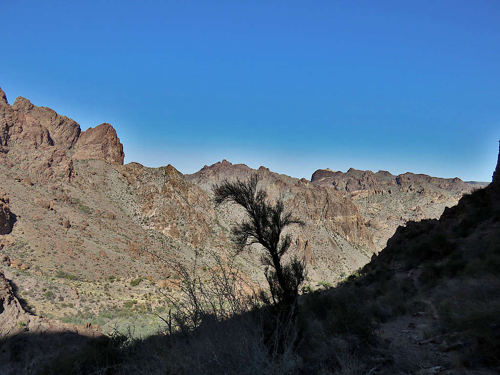
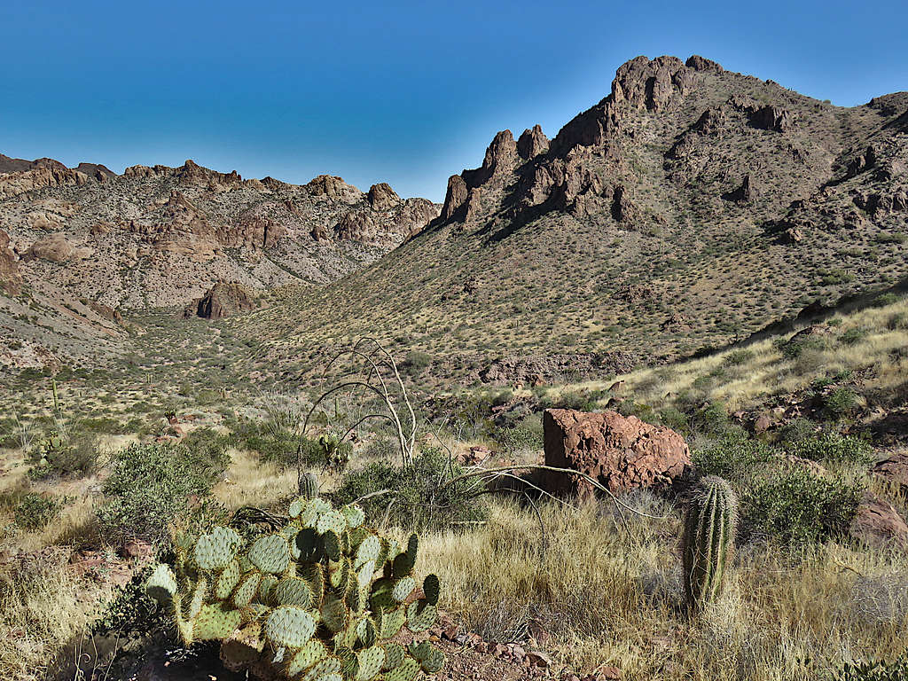
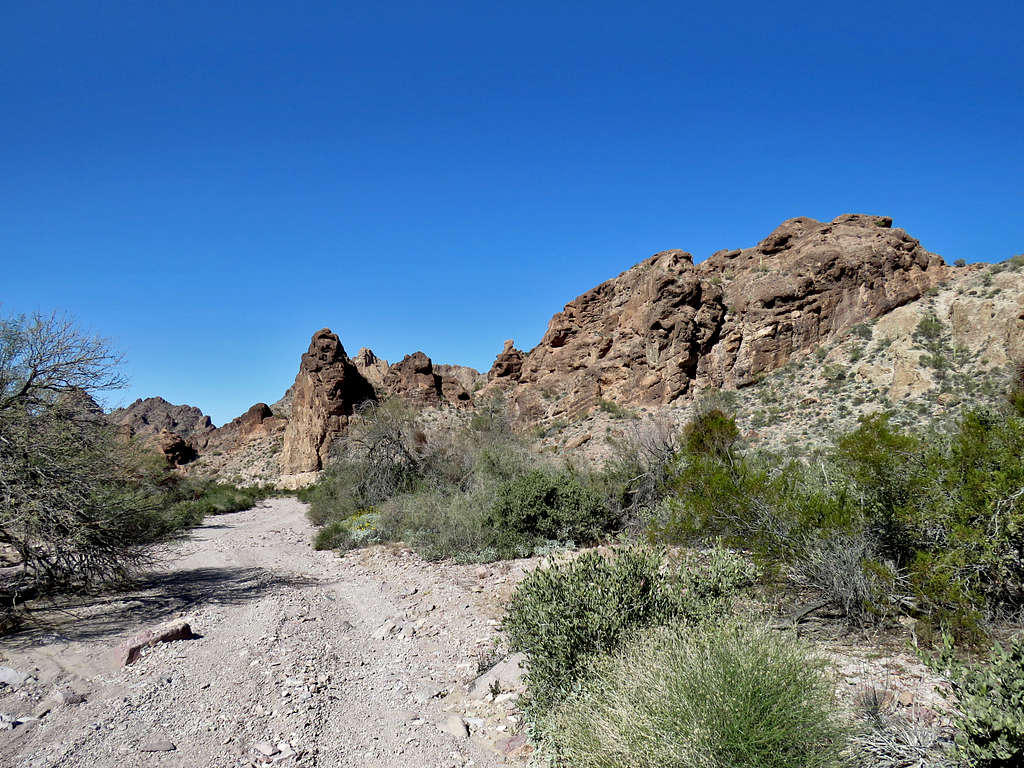
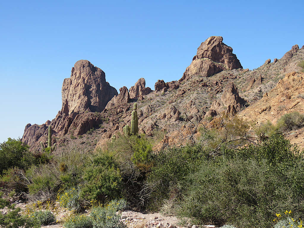
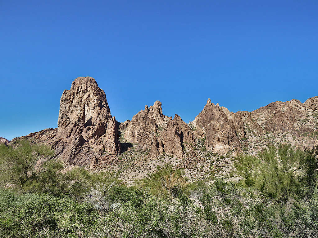
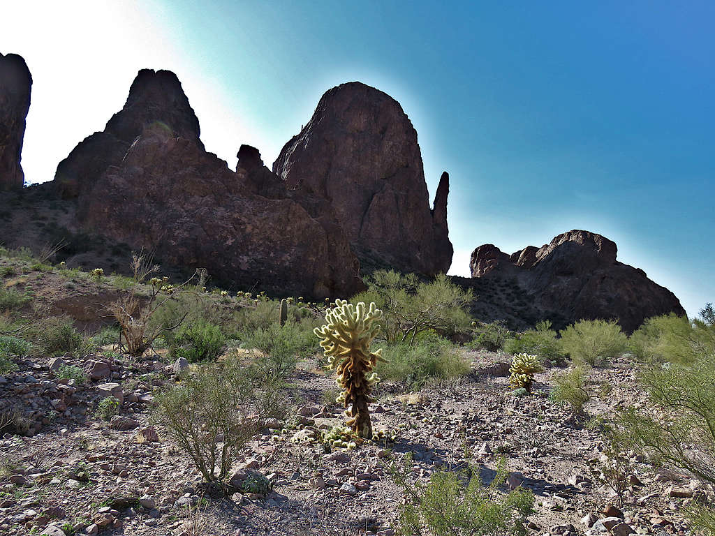
Began to walk up the road into Kofa Queen Canyon. Impressive spires rose around me.
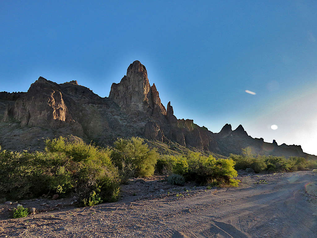
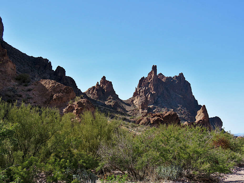
I was going southeast directly into the early morning sun. Saw a vehicle in the distance where a few people had camped. As it has happened so many times before, without even seeing a dog, I sarcastically told myself that I was about to be attacked by a mad dog and sure enough a crazy barking dog came running at me. I have no problem defending myself against a dog, but it is the mad owner that I don’t want to deal with. That situation fortunately resolved without a problem. Beautiful views in the canyon.
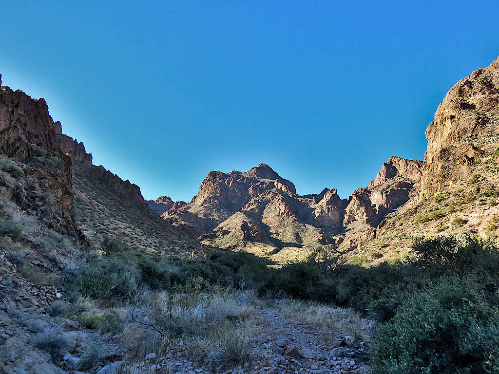
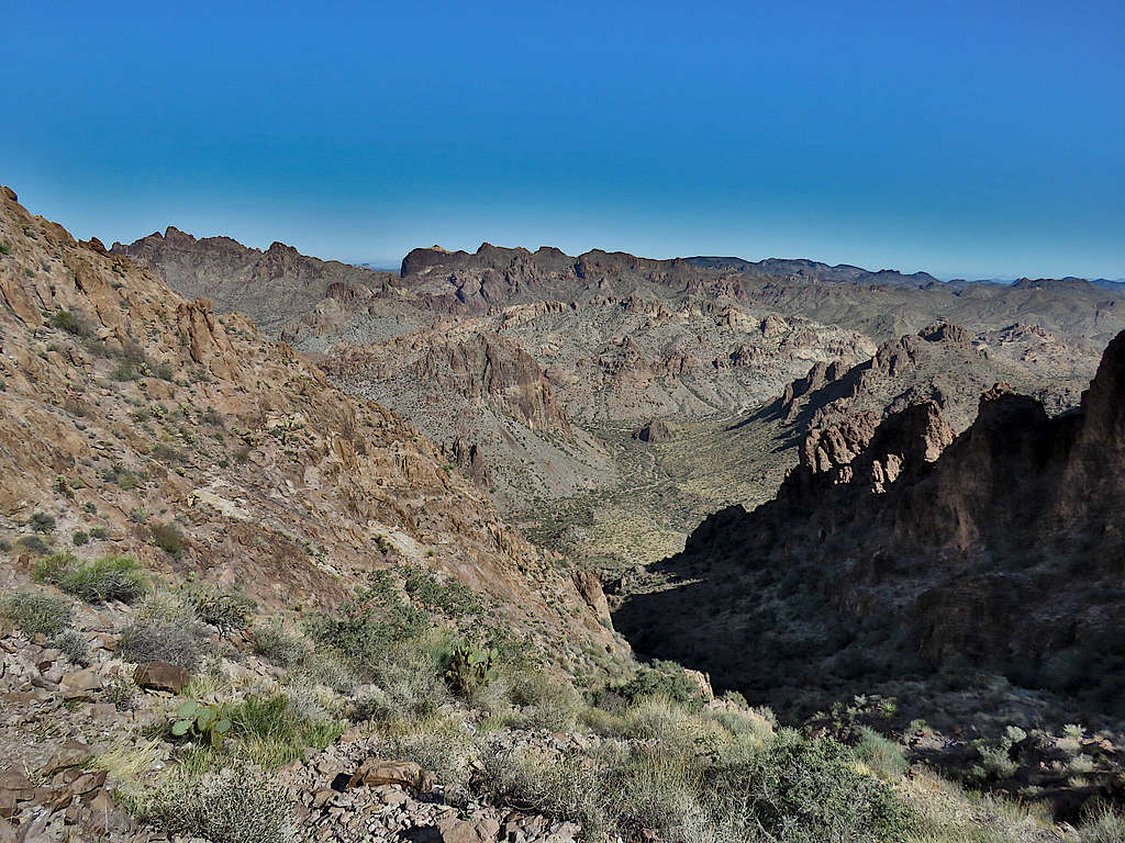
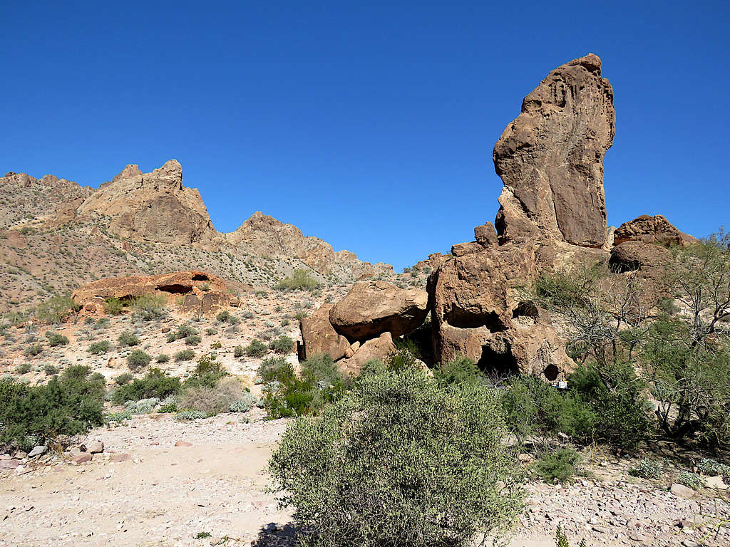
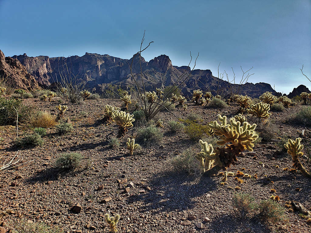
A second vehicle had camped at a place called Skull Rock (I left the picture taking for the return leg of the hike hoping that the campers would be gone). I did not have an exact GPS track but had entered the approximate path into my GPS. At 9:18 AM, 3.21 miles and 2840 ft elevation, I reached the valley where I had to leave the road and find the beaten path that went to the summit. Ten Ewe Mountain could be seen.
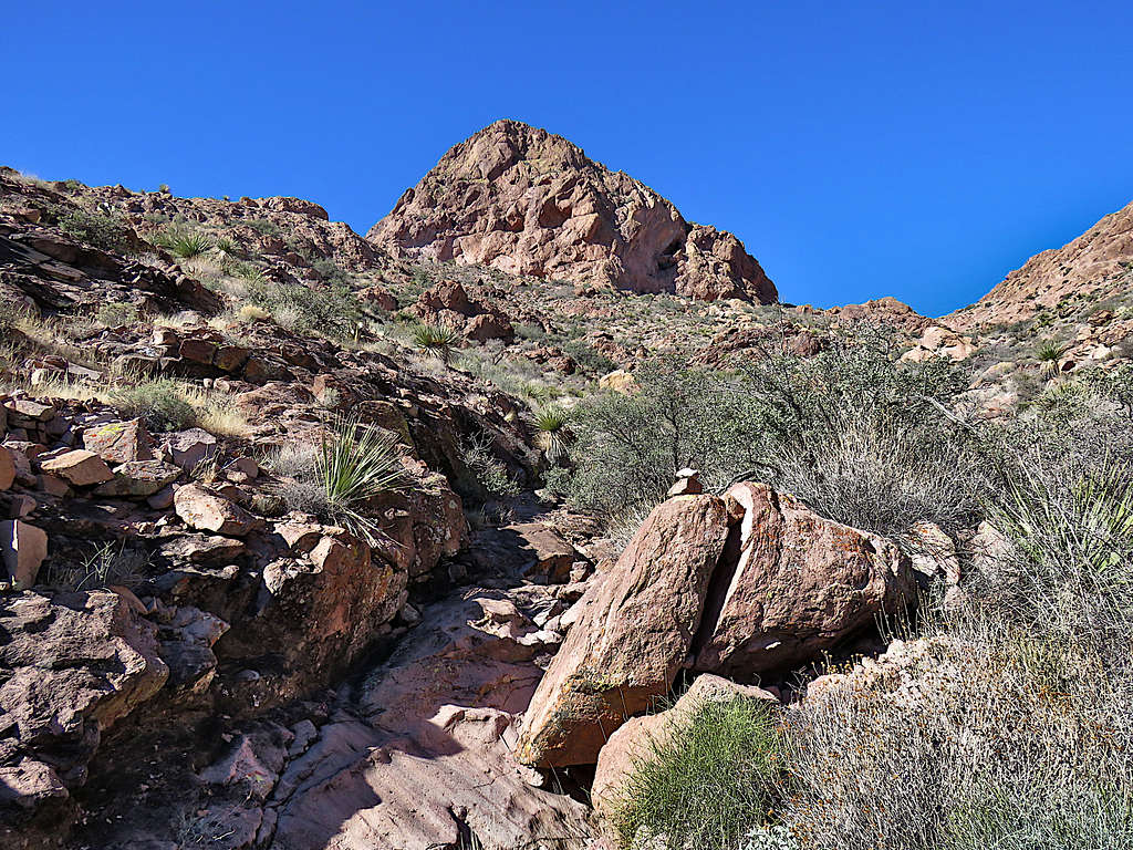
Got into the valley and began to hike up the bottom of the dry wash.
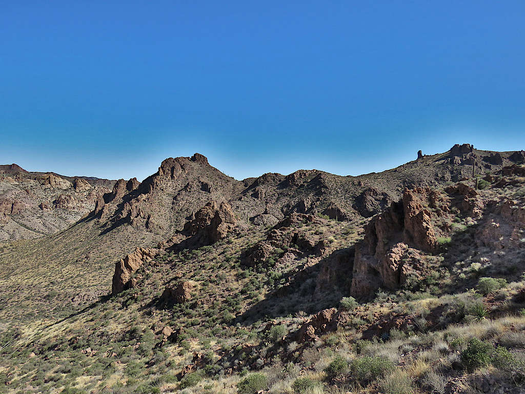
Saw a cairn that led me out of the wash and onto a well beaten path that went up a slope. Months ago, when planning this trip, I had seen the path on satellite photos. Noted a couple coming up not too far behind me. The sun was starting to make me feel hot.
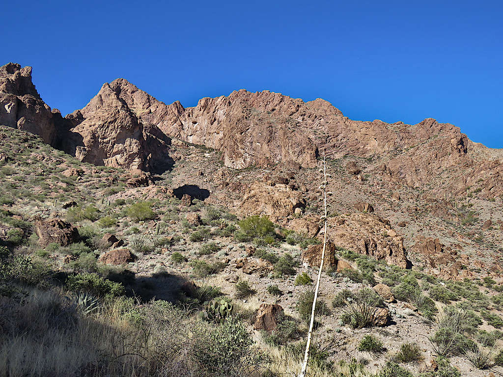
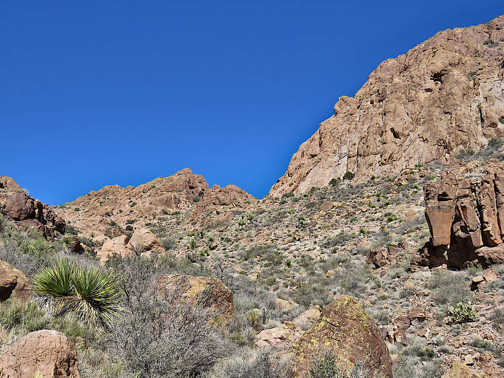
I then went into the shade and reached a place where the path was no longer visible. On satellite photos too, I had noted that the path disappeared around there. On the left, there was what looked like a steep dry creek bed and, on the right, a not so promising path. Went right and soon realized that it went nowhere. Came back and waited until the couple behind me arrived. They were the same people who had camped at Skull Rock and said they had climbed the mountain once before and the correct path went up the steep creek bed. I let them get a little ahead and then began to go up the steep slope until at 10:30 AM, 4.22 miles and 3880 ft, I reached a “saddle” where the couple were resting. I too stopped to drink water and talk to the couple. Wind began to blow making me feel cool/cold. In a few minutes, I had gone from feeling hot to feeling cold. Looking down the slope I had climbed.
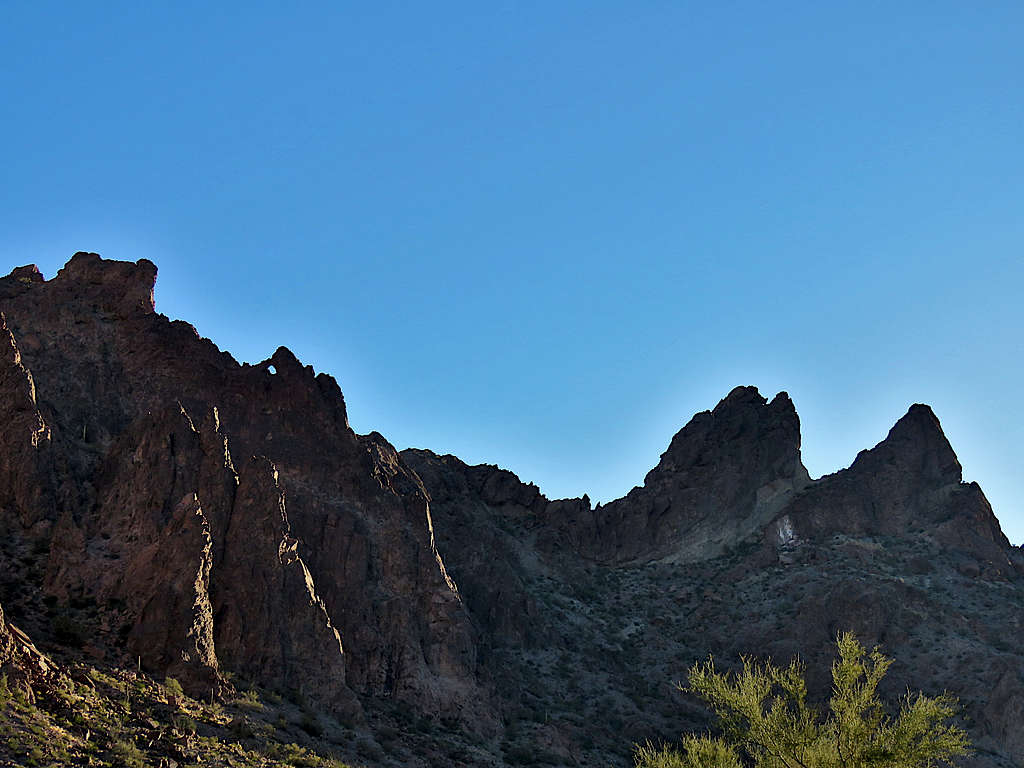
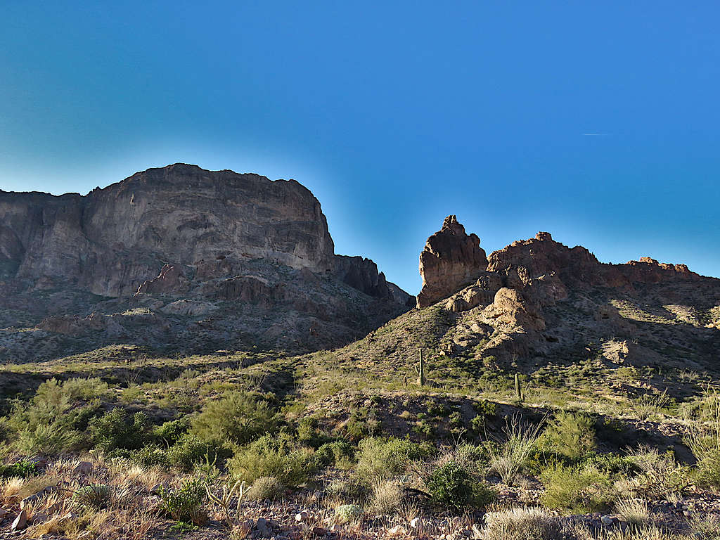
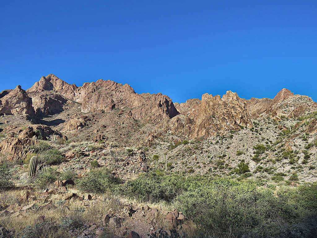
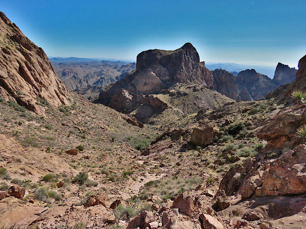
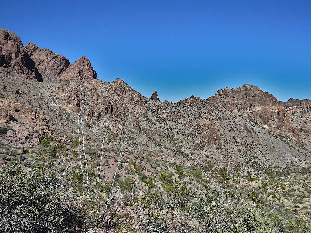
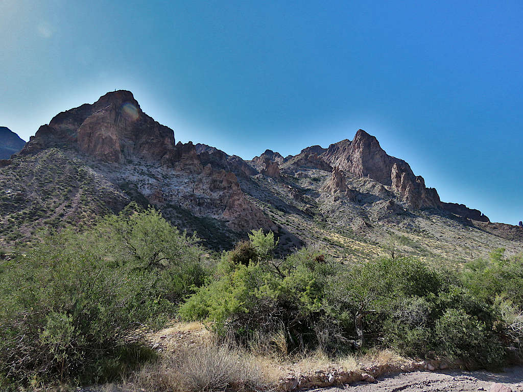
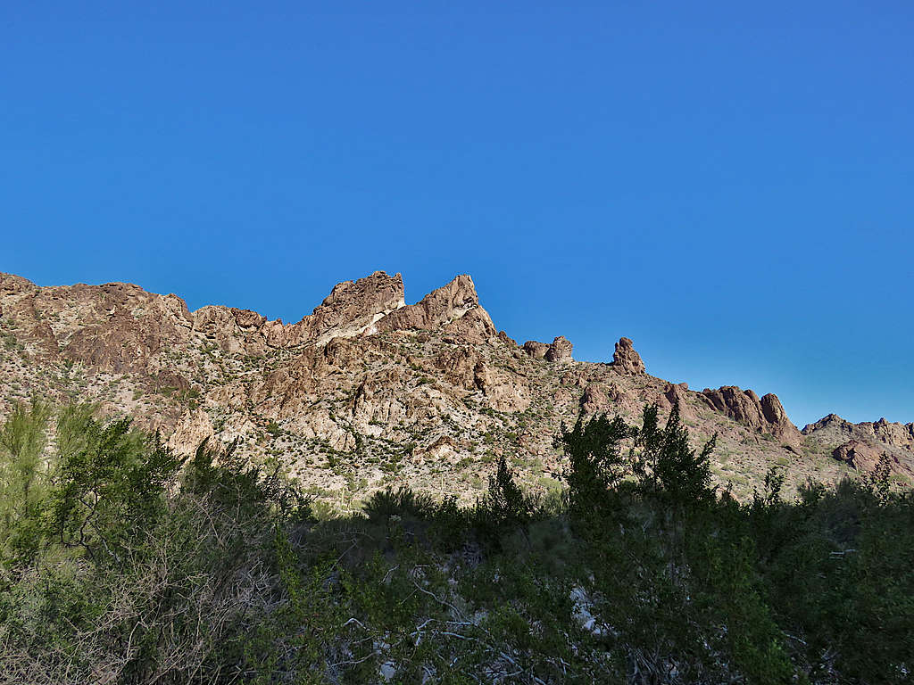
Peaks could be seen rising around me but none of them turned out to be Signal Peak.
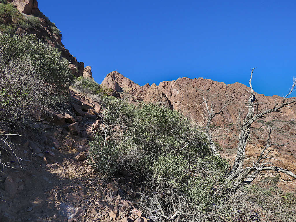
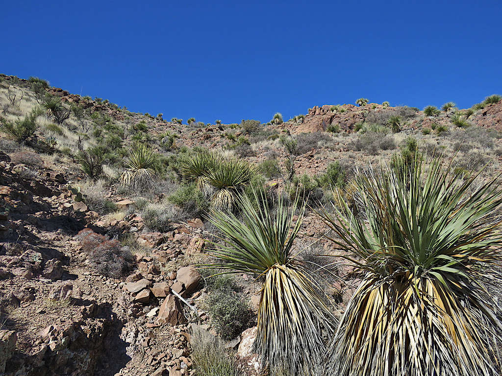
The couple left and a few minutes later, I began to continue up the path, which was again well-defined.
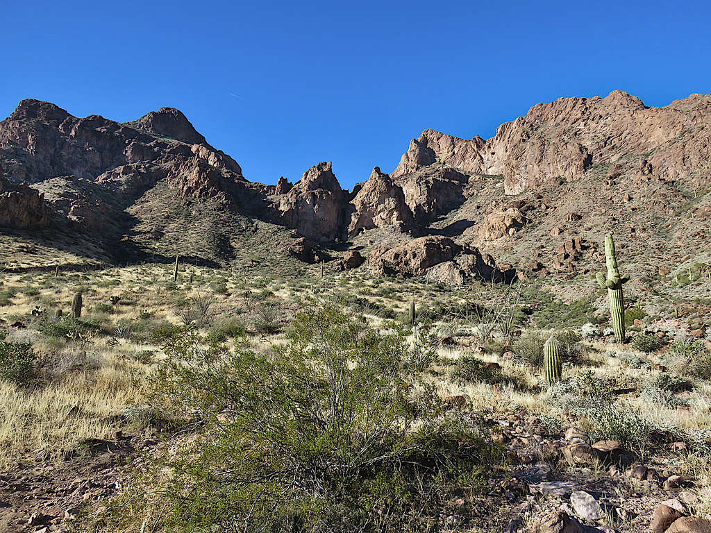
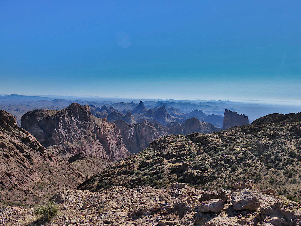
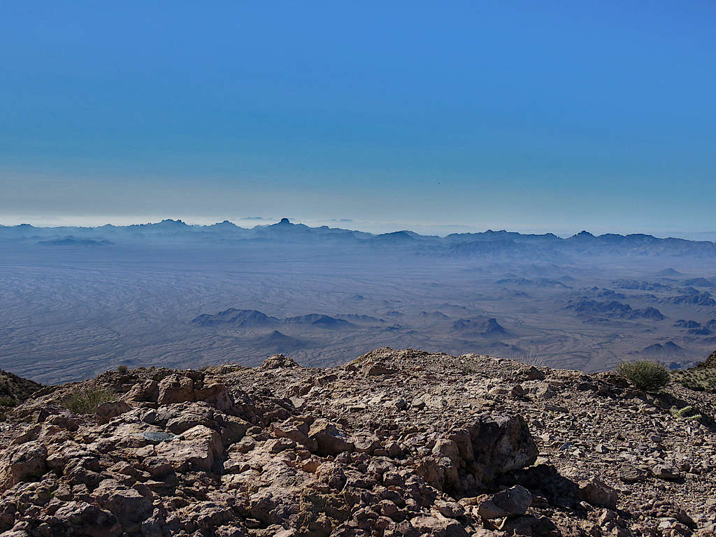
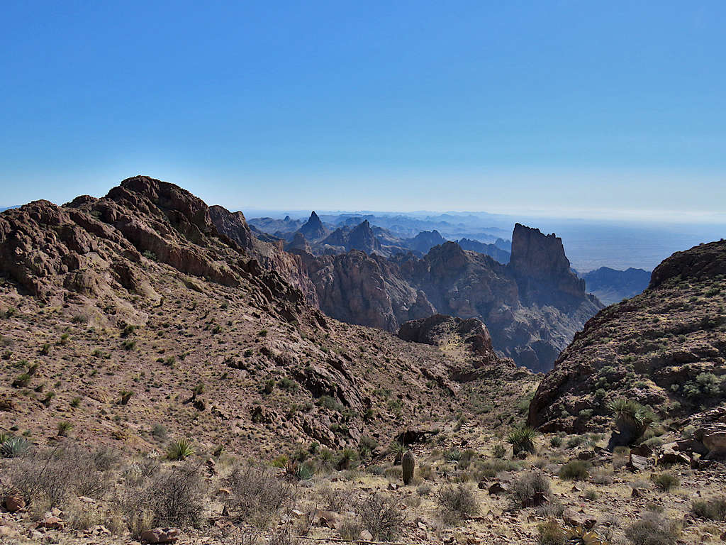
Reached the summit at 11:15 AM and 5.16 miles. The jagged alpine scenery was very dramatic. The couple were there. Had to put on my coat to protect me from the wind.
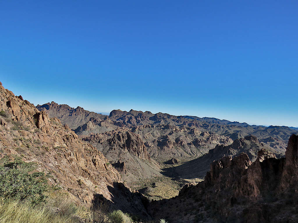
The rugged peaks to the southeast.
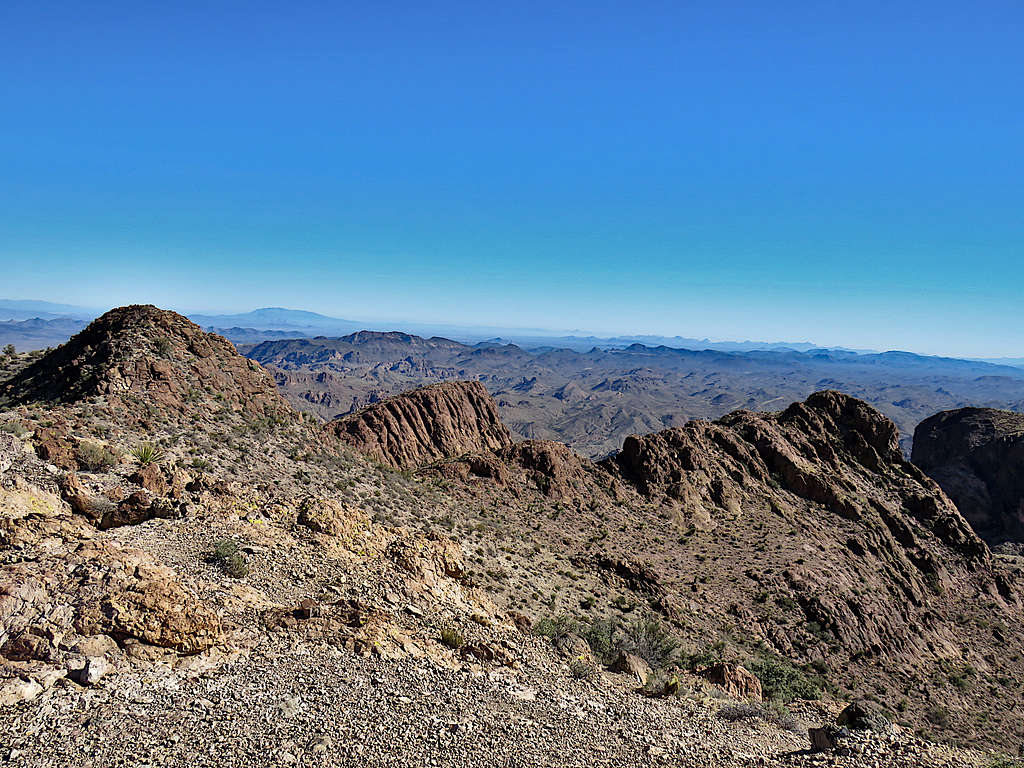
View northeast.
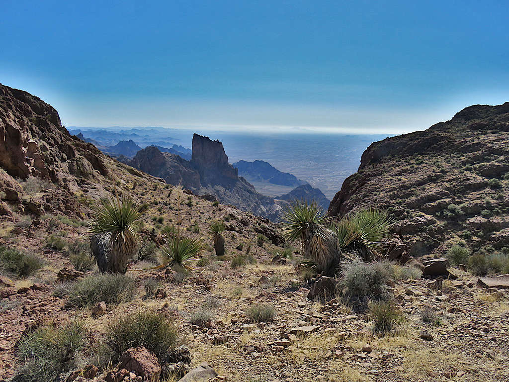
Looking northwest.
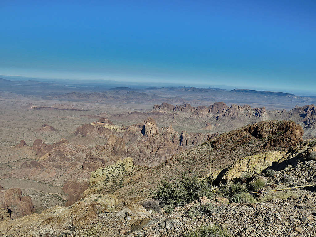
West/Southwest.
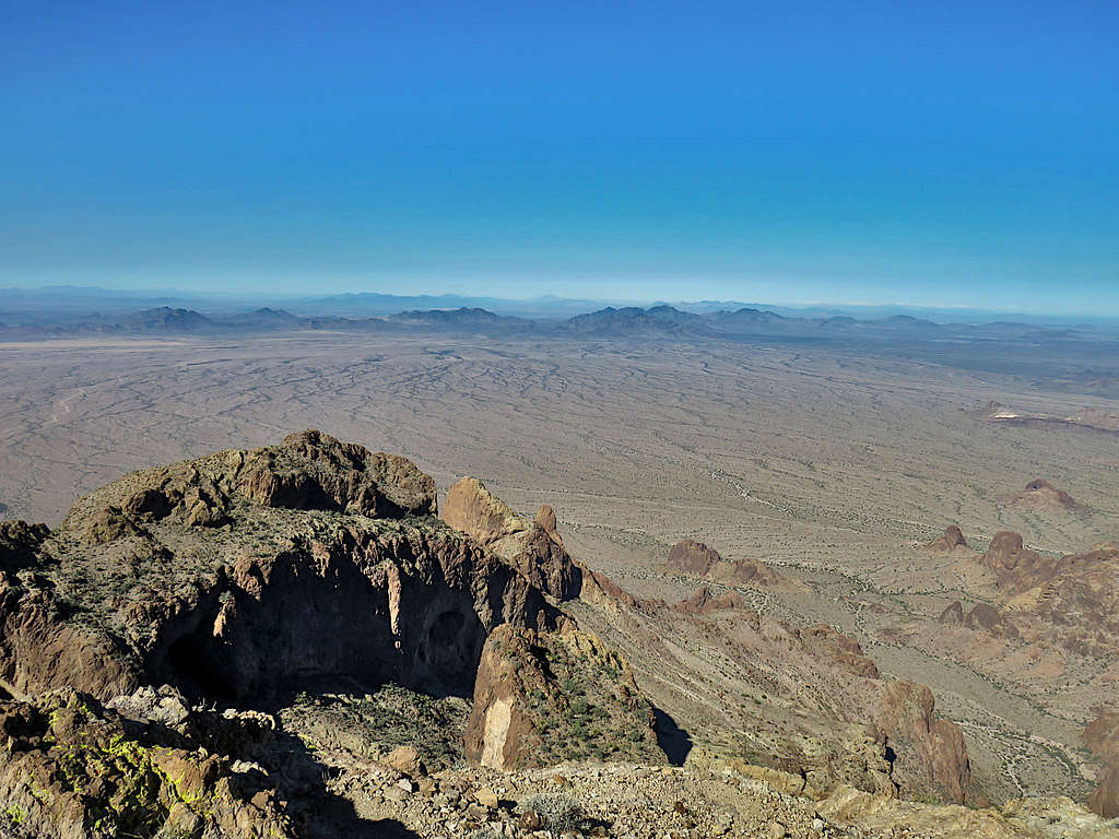
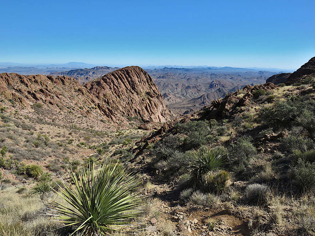
Zoomed view of Castle Dome area to the south.
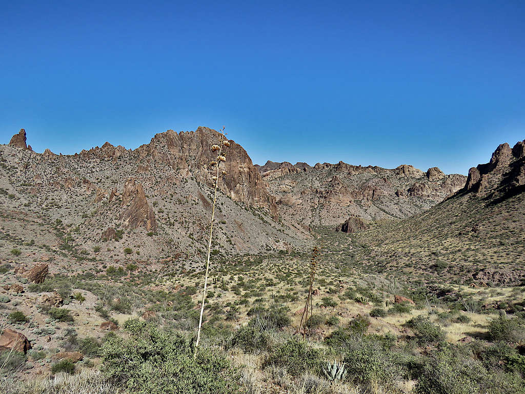
Sat there to eat, drink and enjoy the views. The couple left saying they were going to climb Ten Ewe Mountain. I left at 11:40 AM going back down the way I had come. Could not get enough of those peaks to the southeast.
On the way down.
Ten Ewe Mountain.
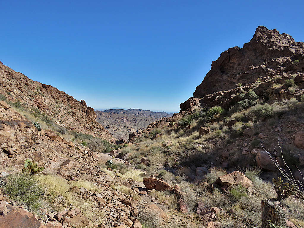
Further down.
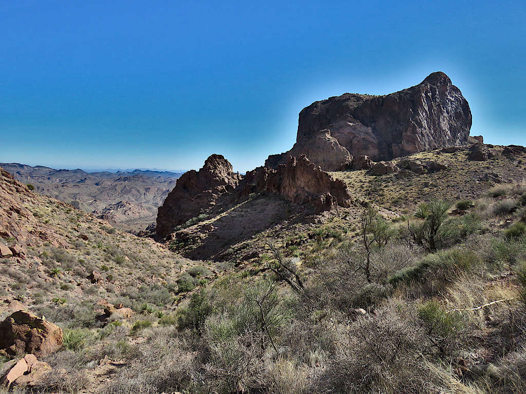
The “saddle” on the right.
Reached the 3880 ft saddle at 12:39 PM and 6.16 miles.
Going down what I called the dry creek bed.
Back on the well beaten path, I was actually able to follow it all the way to the road.
At 1:35 PM, 7.16 miles and 2840 ft reached the road where I took another break.
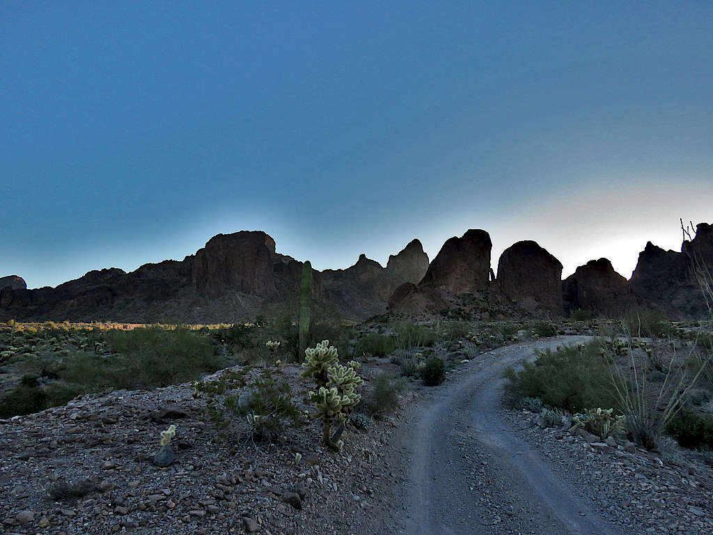
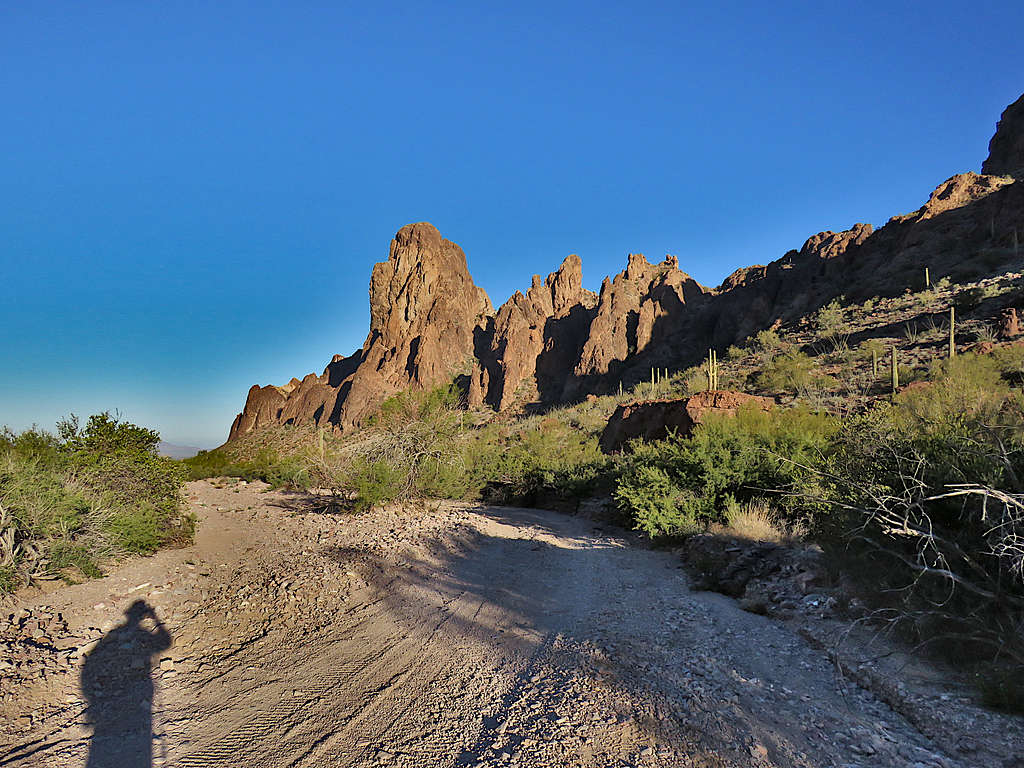
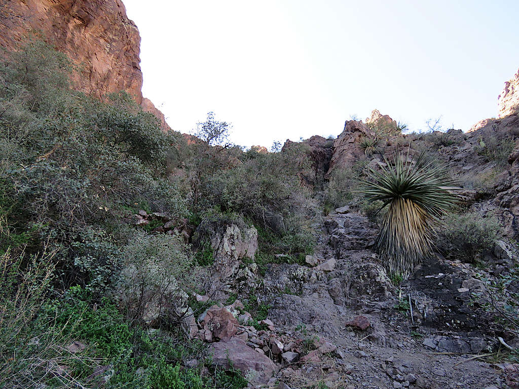
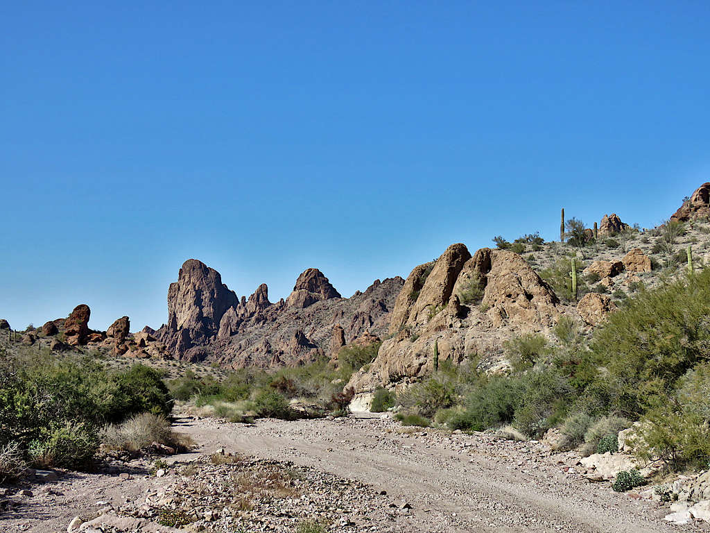
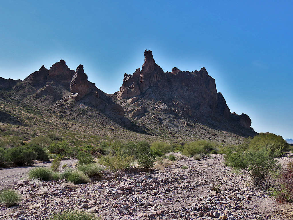
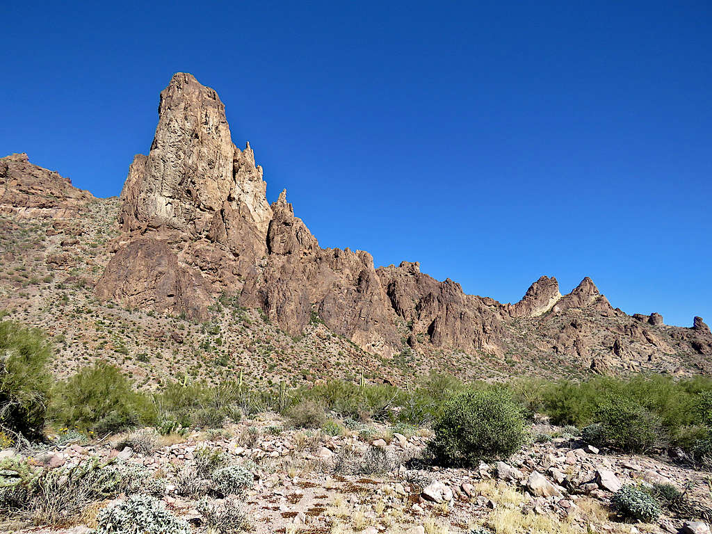
On the road in Kofa Queen Canyon.
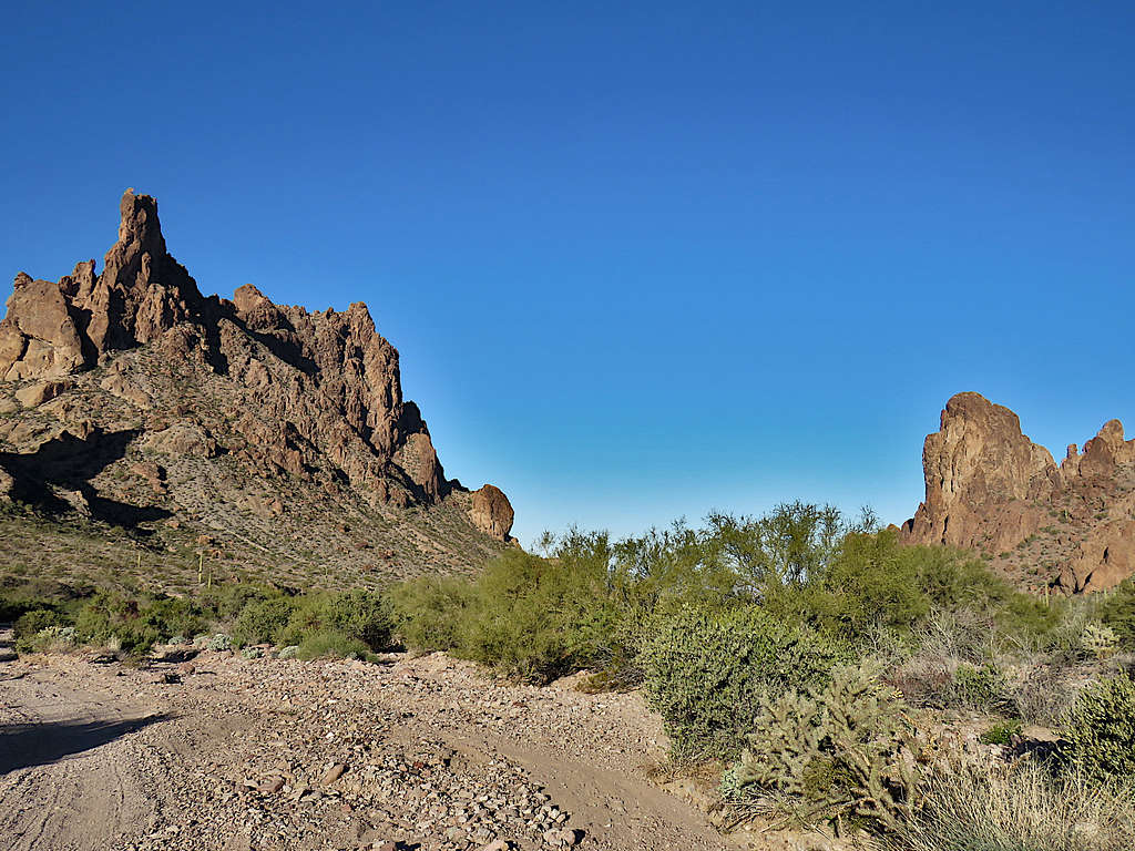
Skull Rock.
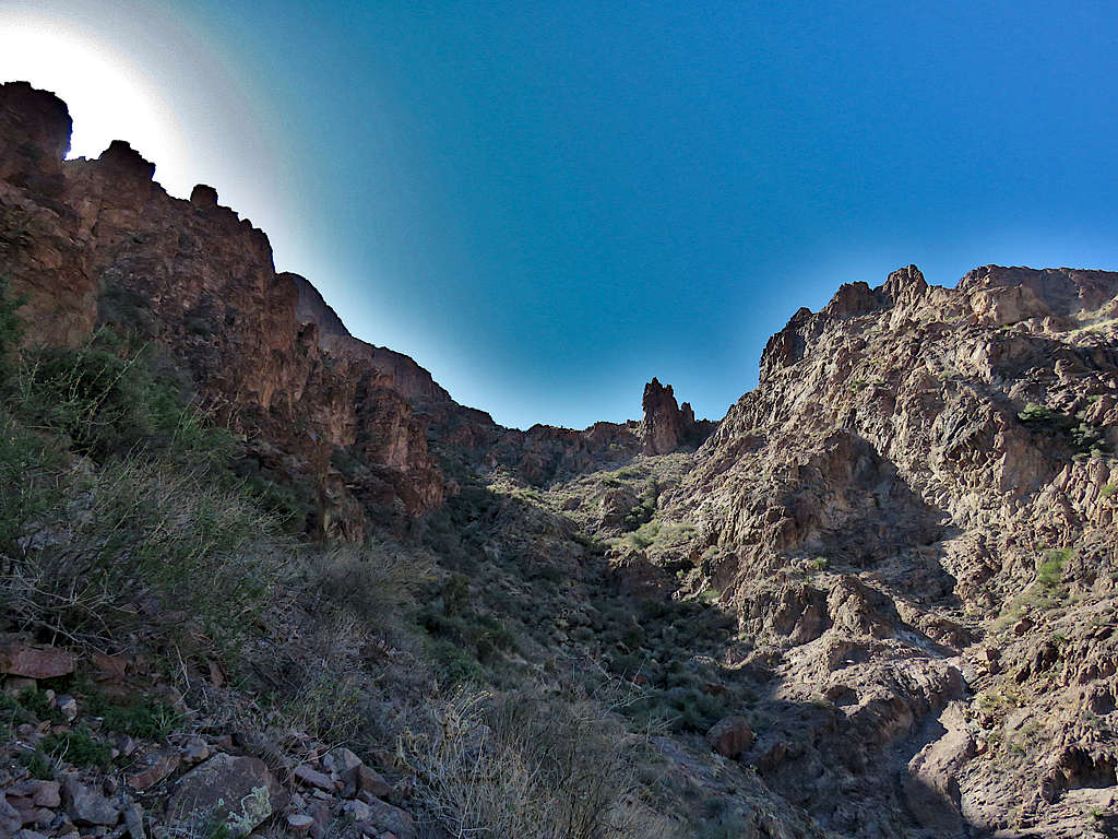
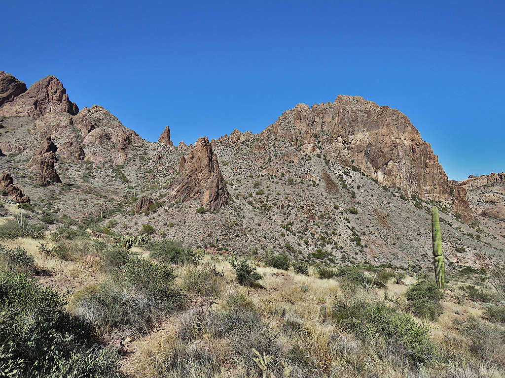
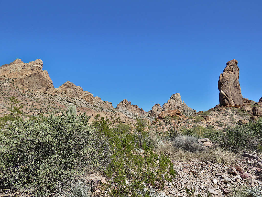
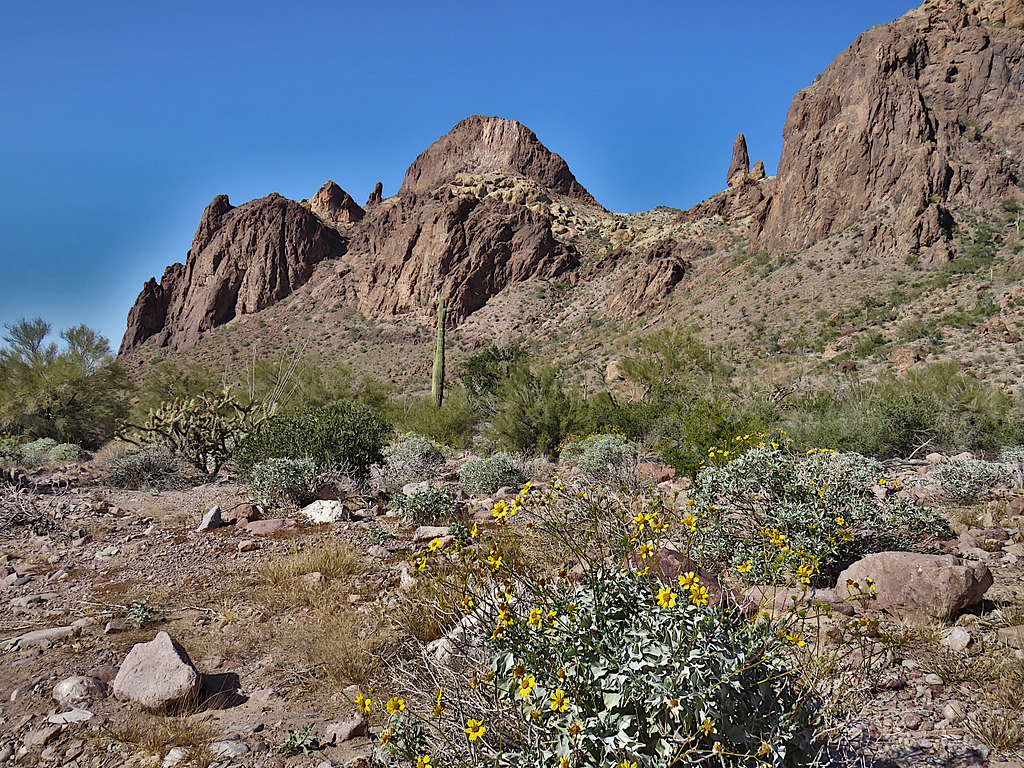
More beautiful views.
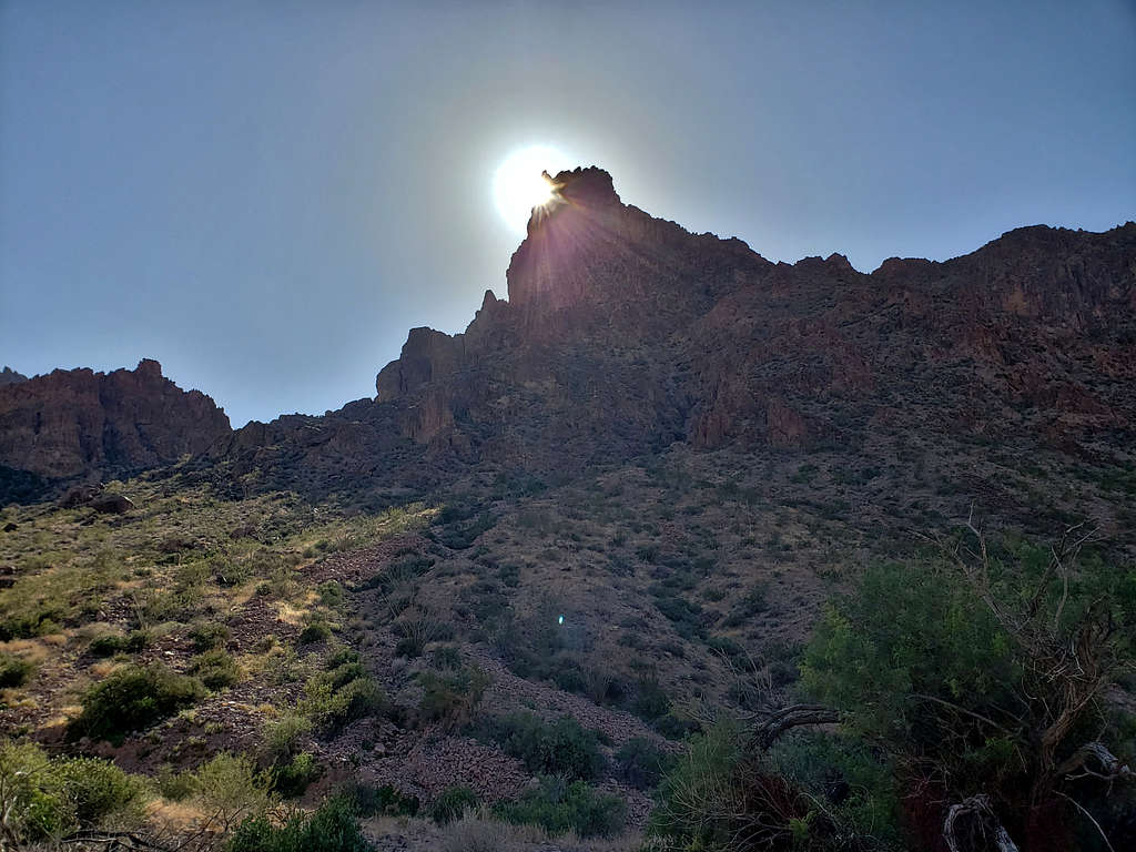
The spire was casting a long and narrow shadow over the road. I took this picture just before going into the shade.
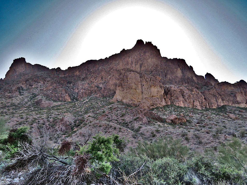
Another wall casting its shadow over the road.
Twice I ran into people walking up the road. One was an older gentleman who said he was having the time of his life. I could certainly understand why. The weather was so pleasant.
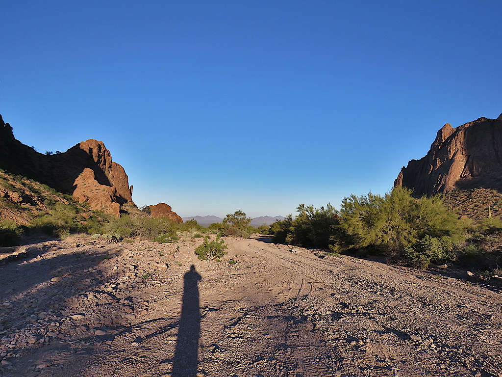
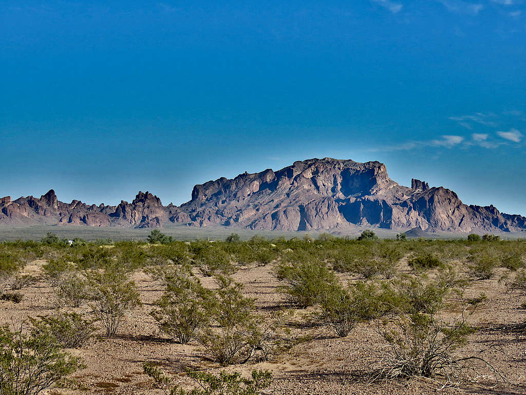
Out of the canyon, I walked another half mile to reach my truck at 2:57 PM and 10.38 miles. I still had a 1.5-hour drive back to Yuma. Signal Peak from where I started my hike.
Looking back at Signal Peak from near Route 95.