
-
 2643 Hits
-
 71.06% Score
-
 1 Votes
|
|
Route |
|---|---|
|
|
46.84900°N / 12.42150°E |
|
|
Hike and Scramble |
|
|
Half a day |
|
|
Walk-Up |
|
|
Approach
See the Getting There Section for the general information. This route starts from the southern trailhead in Innervillgraten.
Route Description
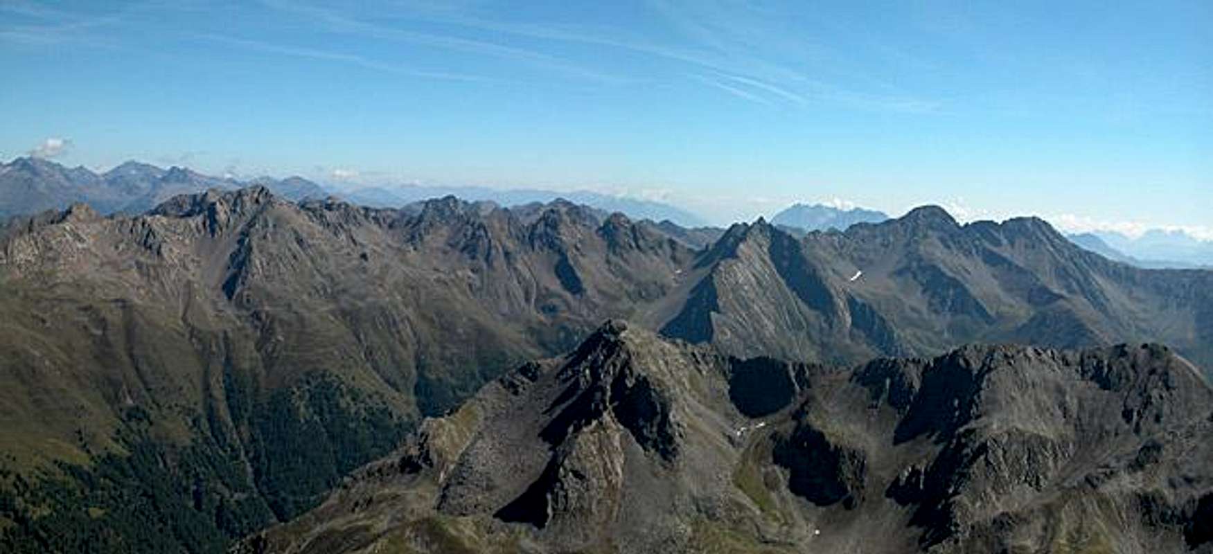
- Start altitude: 1586m
- Summit altitude: 2951m
- Prevailing exposition: W, later S
- Type: 4h over paths
- Protection: marked but without security
The southern ascent to Hochgrabe is the shorter one of the two normal routes but covers a larger altitude gain. The first part is a stroll along the forest road through the Einatbach Valley, which heads north directly towards Hochgrabe from Innervillgraten. The road ends at Schmdhoteralm but the following trail still does not leave the valley floor.
At 2050m a marked trail, No 327 heads north, directly heading up the Hochgrabe and Kugelwand southern slopes. The trail is steep but gets more or less shallow near the Sillianer Seen, which you encounter above 2600m in a smeall cirque. The remaining 200m ascent to Hochgrabe follow th west ridge and here the going gets rough with several steep and exposed stretches.
Essential Gear
Hiking gear is sufficient. We were overtaking by a guy in jogging shoes training for the mountain marathon on the following weekend.