
|
|
Route |
|---|---|
|
|
38.58188°N / 109.51927°W |
|
|
Hiking |
|
|
Spring, Summer, Fall, Winter |
|
|
Most of a day |
|
|
Hike |
|
|
Overview
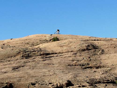
This is a popular mountain biking trail. The scenery is spectacular and hikers are welcome.
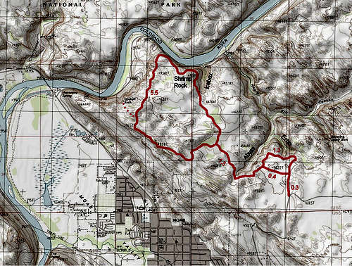
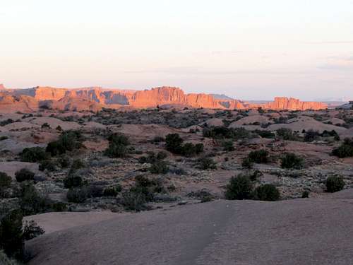
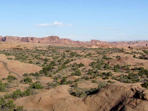
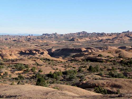
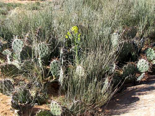
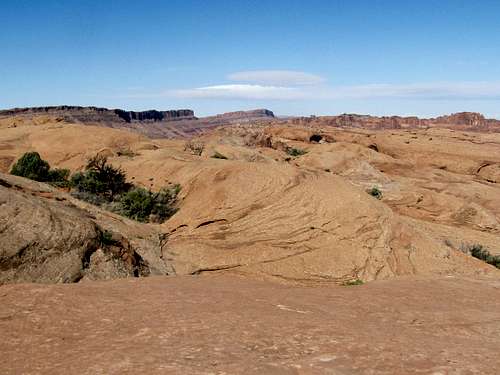
Slickrock Trail follows a path over the petrified sand dunes to the east of Moab, Utah. The petrified sand dunes create a plateau that sits at an elevation of 4450-4800 ft, roughly 600 ft above Colorado River to the north. The trail is marked by a dashed line and is a non-stop series of ups and downs over the petrified dunes. For the loop described here, my GPS measured a total ascent of 3250 ft. The sign at the trailhead said 1600 ft. With few exceptions, the trail travels entirely over a hard slickrock surface so you better wear comfortable hiking boots. At the northern edge of the plateau, you will get great views of Colorado River at the bottom of its canyon where Route 128 runs. Along the way, you get glimpses of the town of Moab, parts of Arches National Park and other smaller canyons. The La Sal Mountains will always be in view as perfect backgrounds for the breathtaking scenery.
Don’t expect to find solitude here. You are likely to see large numbers of mountain bikers and even some people on motorcycles. Yield to the bikers. While Jeeps and ATVs are not allowed on Slickrock Trail, there are nearby four wheel drive roads that intersect or at times parallel the Trail.
Getting There
From the center of Moab at Main St. (Route 191) and Center Street turn east onto Center Street and go 4 blocks to East Fourth Street and turn south (right). Continue south and turn east onto East Mill Creek Drive. Go straight to a 3 way at a stop sign. Going straight will get you on Sand Flats Road. After 1.6 miles, you will reach the toll booth for Sand Flats Area. Continue another 0.7 miles until you see the big parking area on the left.
Route Description
Highest Point: 4820 ft
Lowest Point: 4450 ft
Length of lollipop loop described here: 10.4 miles
Elevation Gain: Sign at trailhead said 1600 ft, my GPS said 3250 ft !
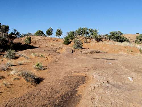
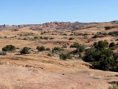
Start following the white dashed line over the slickrock.
La Sal Mountains will be well visible.
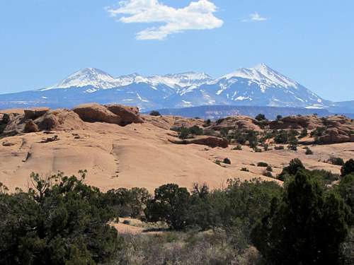 La Sal Mountains, middle section La Sal Mountains, middle section |
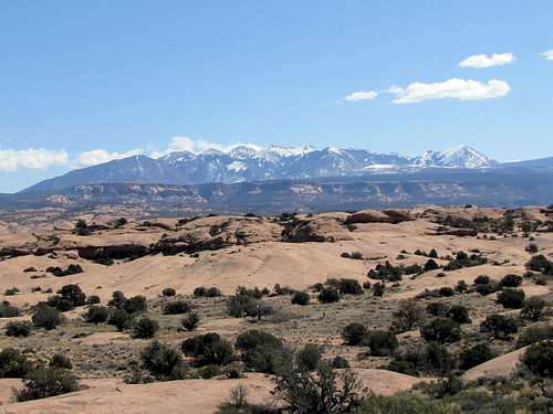 La Sal Mountains, northern section La Sal Mountains, northern section |
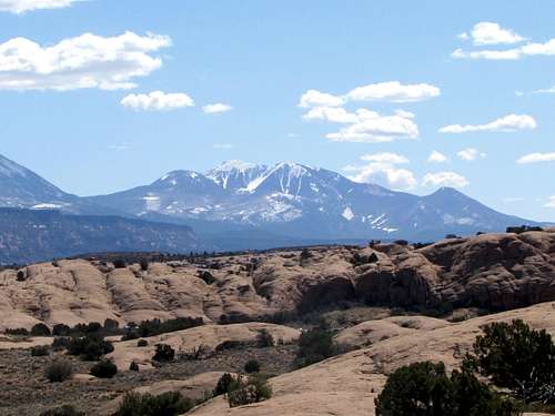 Las Sal Mountains, southern section
After 0.3 miles, you will reach a 2 way. Left is a short cut that you can use on the way back to shorten your hike. Right takes you to the edge of Echo & Abyss Canyons. Take the right.
Echo Canyon.
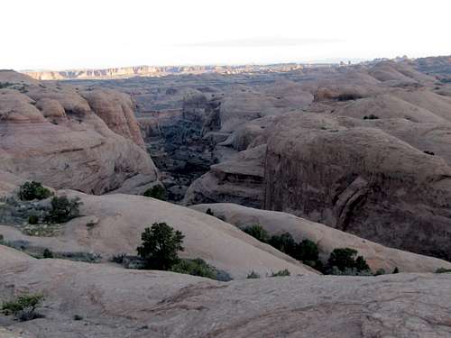 Echo Canyon
Continuing on the trail.
 |
 |
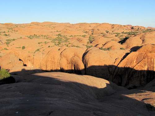
You will now get views of Abyss Canyon and soon reach the junction with the short cut.
 |
 |
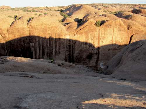
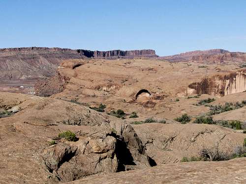
The trail will take you around the southern edge of Abyss Canyon.
 Abyss Canyon
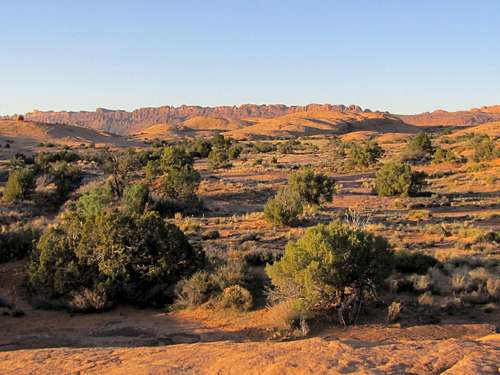
After a steep uphill with potholes, you will reach another 2 way. This is the start of the loop. Bikers usually go clockwise (turn left). Hikers would be better off going counter clockwise (turn right) to see the oncoming bikers.
 Before the start of the loop
Turning right and continuing on the trail.
 |
 |
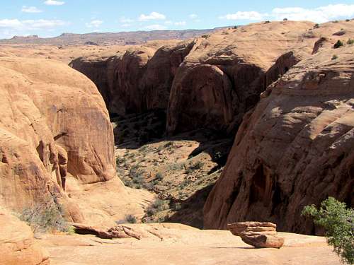
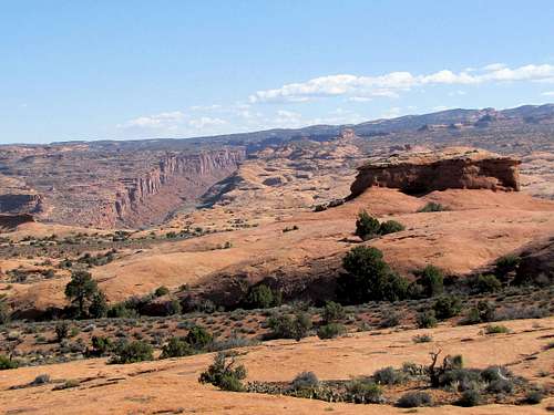
The formation known as Shrimp Rock will come to view.
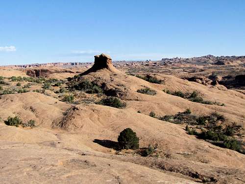 Shrimp Rock
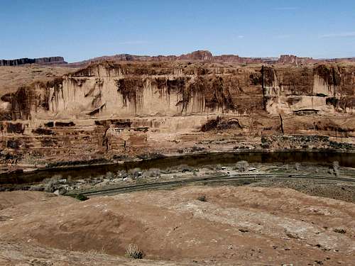
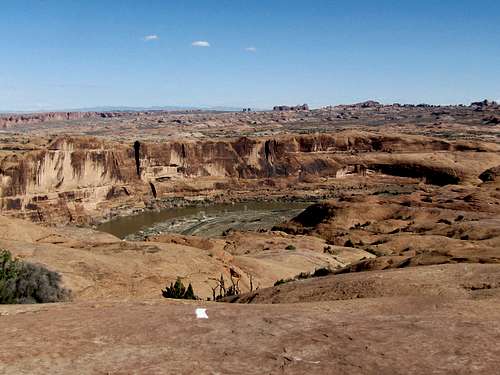
You will then reach the edge of Icebox Canyon where you will have a glimpse of Colorado River.
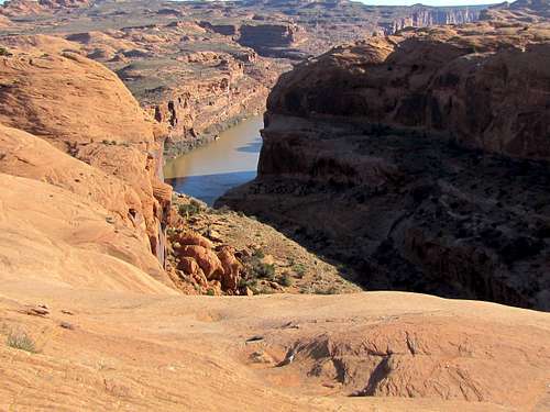 Colorado River from the edge of Icebox Canyon
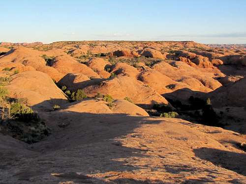
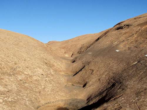
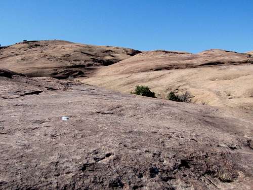
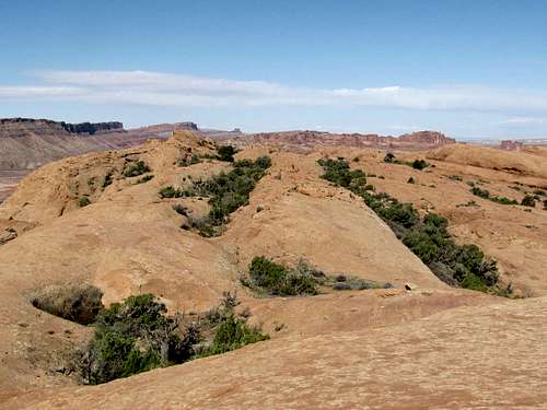
Constant ups and downs of the trail.
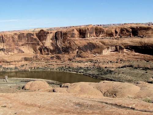
The trail takes you around Shrimp Rock to the northern edge of the plateau where you will have more views of Colorado River.
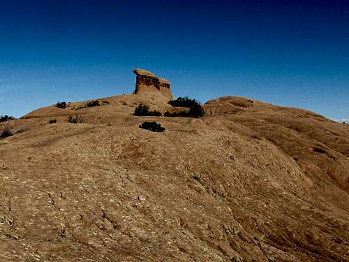 Shrimp Rock Shrimp Rock |
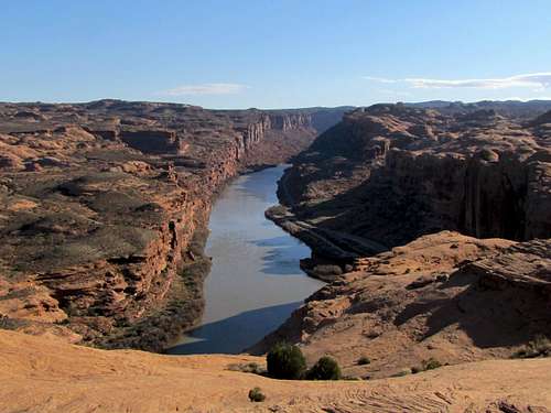 Colorado River Colorado River |
Following the trail along the northern end of the plateau.
 |
 |
Colorado River near Goose Island Campground.
 Colorado River Colorado River |
 Colorado River Colorado River |
Looking north into Arches National Park.
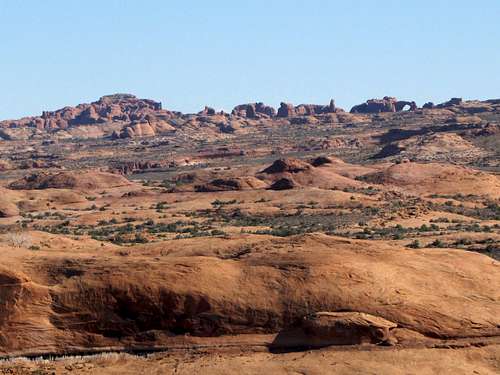 Zooming into Arches National Park
The trail begins to go mostly uphill reaching its maximum elevation of 4820 ft.
 |
 |
 |
 |
 |
 |
A part of the town of Moab will come to view for a short time.
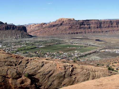 The town of Moab
Continuing on the trail. This bridge is private property and not part of the trail.
 |
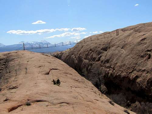 Private property bridge, not part of the trail Private property bridge, not part of the trail |
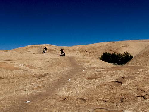
Tired bikers.
Jeepers on the nearby 4 wheel drive road.
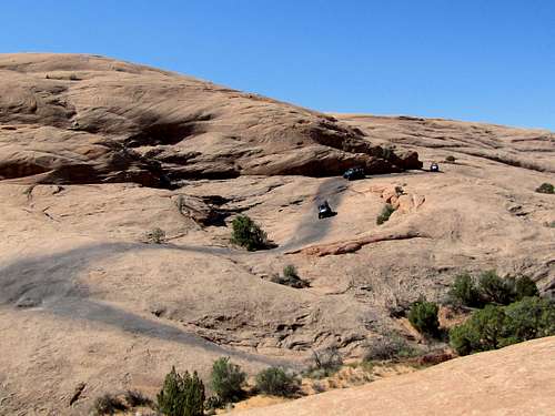 4 wheel drive road
You will then reach the start of the loop and can retrace your way back to the parking area. Use the shortcut to shorten you hike by 0.9 miles.
Essential Gear
Good hiking boots.
Red Tape
You must pay entrance fee to get into Sand Flats Recreation Area. When I was there in 2015, the daily fee was $5 collected at the booth on Sand Flats Road.
External Links
Book: Hiking from here to Wow, Utah Canyon Country by Kathy & Craig Copeland
Map: Latitude 40 Maps, Classic Moab Trails