
-
 2668 Hits
-
 72.08% Score
-
 2 Votes
|
|
Route |
|---|---|
|
|
Sport Climbing |
|
|
Summer |
|
|
Half a day |
|
|
5.9 (YDS) |
|
|
6 |
|
|
Overview
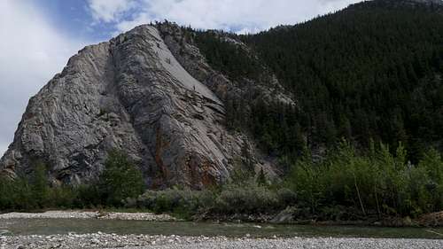
Unknown to most climbers, there is a little gem hidden among the spectacular streams, cliffs, and peaks of the Sawtooth Range in the Rocky Mountain Front: Tears of a Clown, a 6-pitch sport route that gains more than 500 vertical feet with views that get better with each pitch. The only thing not to love is the prospect of a grizzly encounter as you belay the leader on the first pitch!
The route goes at 5.7 but has two 5.9 or harder sections. Both can be avoided (details in route description).
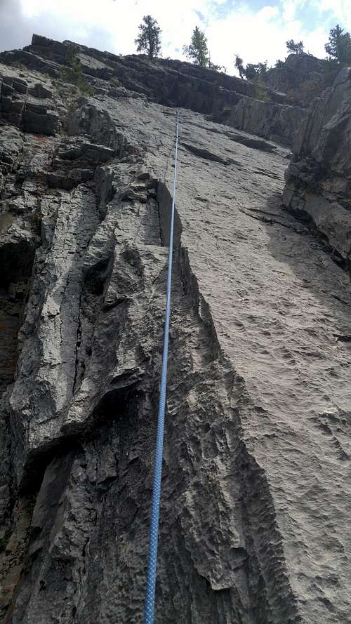
Most of the climb is on a slab (limestone), so if most of your limestone climbing has been with pockets and jugs, get ready for a different experience.
Although the climbing is fairly easy, bolt spacing can be 20' or so; make sure you are comfortable at the grade.
Close by are a few single-pitch sport routes that go from 5.8 to 5.10a. Additionally, somewhere up the ridgeline from the top of this route is a 5.9 sport route that goes in two or three pitches. See the Mountain Project page for more information on this area and its routes.
|
|
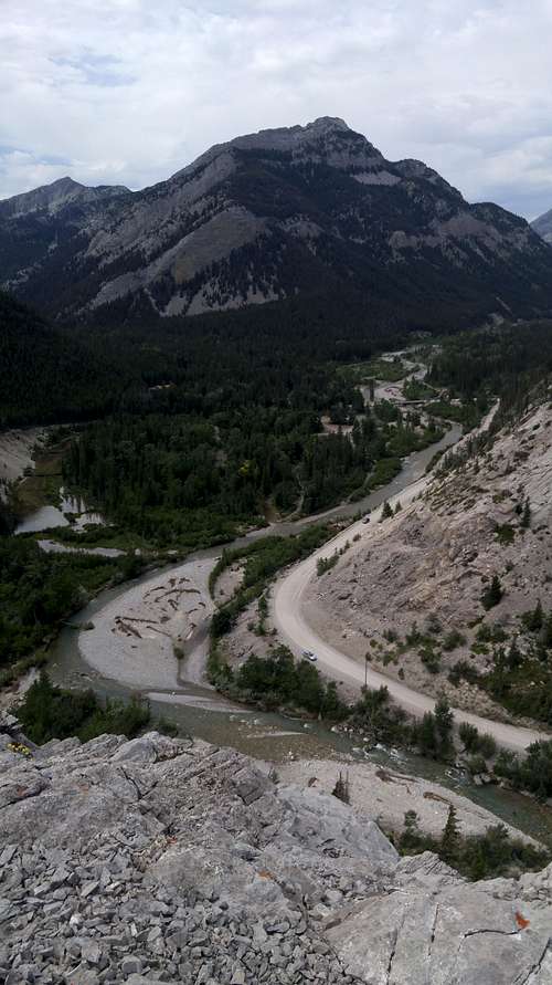
Getting There
About five miles north of Choteau, look for a west-heading road with signs indicating fishing and access to the Teton Pass Winter Sports Area. Take this road. 17 miles along, a road will branch left, cross the river, and become gravel. DO NOT take this road. Instead, stay straight (a sign will say you are on 144); the road will soon turn to gravel (well-maintained and probably passable even to a Corvette), enter the mountains, and take you through some gorgeous mountain scenery that almost no one outside Montana knows is there. The Cave Mountain Recreation Area is about 5.5 miles from the fork.
Turn into this location, but instead of driving to the campground or trailhead, find a dirt road on the left just after you cross the bridge and drive this short road to its end. Find a trail leading to the cliff, which you actually passed about a quarter-mile before reaching the recreation area.
Note: flooding has washed away parts of the trail and you may have to negotiate brush or unstable banks at times.
A better way to get to the climb is to park off the road just across the stream from it, clamber down, and cross the stream if it is low enough.
There probably will be a pool of water at the base of the climb. How it affects the start and the belay stance obviously will depend on current conditions.
Route Description
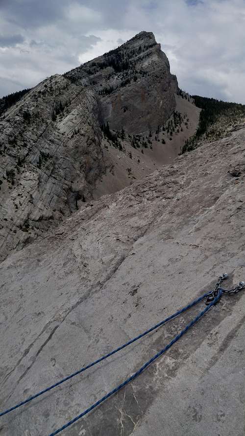
Although the MP page this route lists it as 5 pitches, it really is 6 if one goes by the anchors and counts the easy traverse it mentions as P2 as a pitch. Actually, it is 7 if one belays from the anchors above the 5.9 start, but doing that doesn't really make sense; those anchors seem to make more sense for setting a TR.
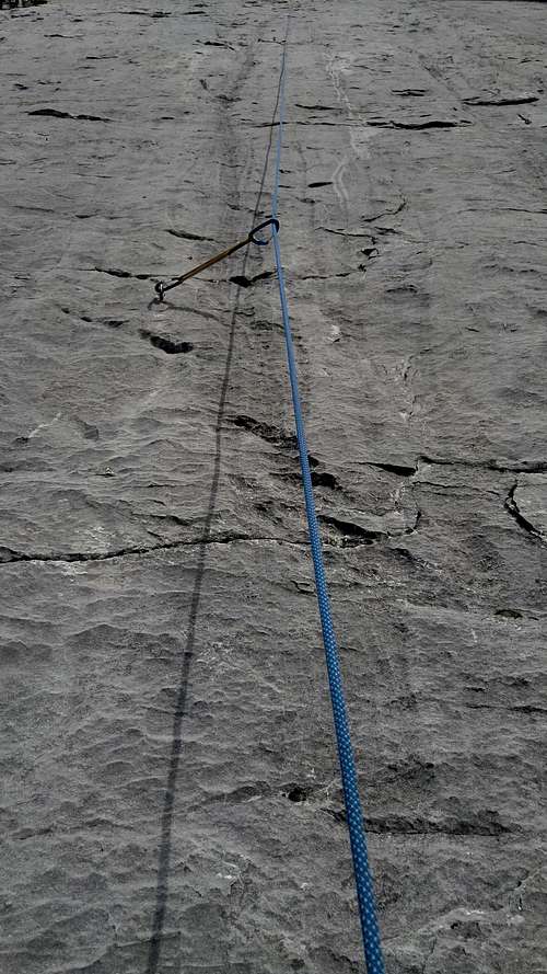
Pitches are 100-120' except for the final one, which is maybe 60-80'.
P1-- For a 5.9 start, climb the face to the slab above and then follow the slab to anchors; I felt the crux was between the first and second bolts, but it was a pretty sustained "pitch." The first bolt is fairly high, so if that or the grade intimidates you, walk right and gain the slab via some easier but unprotected climbing; the first protection will be the anchor bolts above the 5.9 start.
|
|
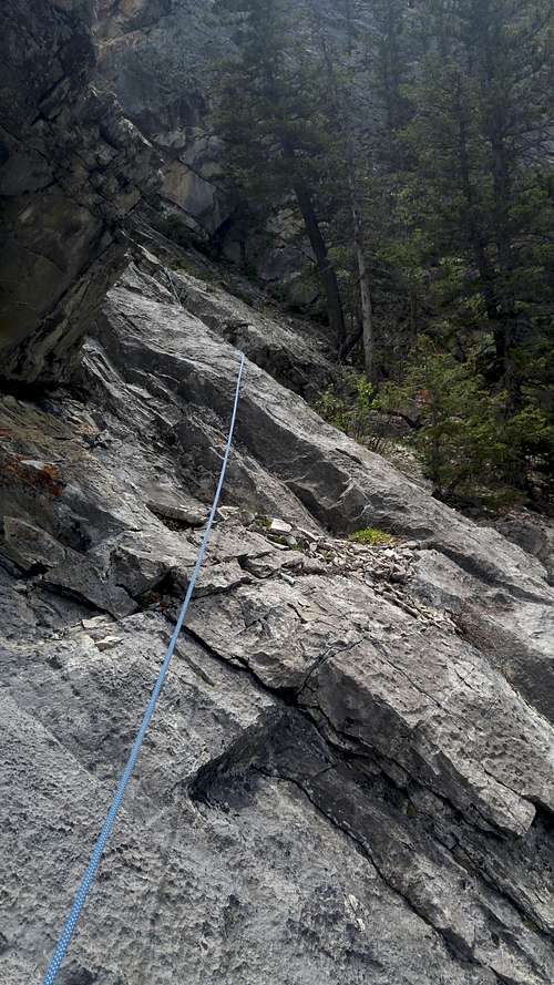
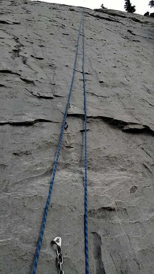
P2-- Class 4 or easy 5. Traverse right and slightly up on poor rock to a single anchor bolt. This is your belay location.
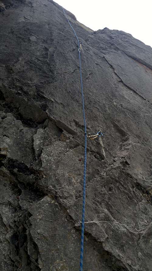
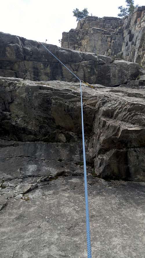
P3-- Crux pitch. There are two small roofs to pull. The first felt a little harder than 5.7 but wasn't too bad. The second is stout, estimated by the MP author as 5.9+ and arguably harder. However, there are options. You can clip the bolt above the roof and then traverse right a few yards to make an easier pull, or you can skip that clip and instead head way right to a bolt protecting a much easier way above the overlap (this must be the way to keep it 5.7); after that bolt another bolt protects a diagonal line to the anchors. Note: in July 2018 the bolt protecting the second roof was loose. I don't mean the hangar was spinning; the bolt itself was actually loose to the point that I could have removed it by hand. I tightened it as much as I could by hand since I did not have a tool to do a proper job of it.
|
|
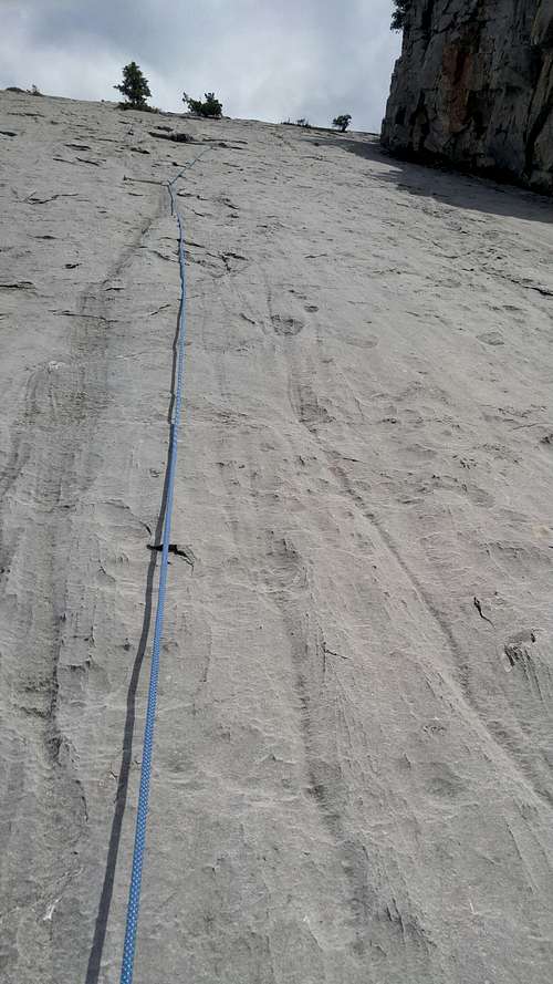
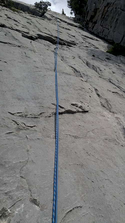
P4-- Slab.
P5-- More slab.
P6-- And more slab.
|
|
|
To descend, find a gully skier's left. Alternatively, you can rap the route, but some of the pitches will not go on a single 70, so you will need two ropes or you will need to commit to downclimbing easy terrain unless you know (and have the gear for) how to rap a pitch and retrieve your rope when the rope isn't long enough.
Essential Gear
Have at least 8 quickdraws. A 40m rope should get you up any pitch, but it will not get you down any except maybe the 6th. I came up short on two pitches rapping with a 70, so if you plan to rap the route, have at least two 40s or a single 80. The first pitch was one of those too long to rap with a 70, but it was no problem getting onto very easy terrain from there to get the rest of the way down.