-
 4599 Hits
-
 82.48% Score
-
 15 Votes
|
|
Route |
|---|---|
|
|
44.00312°N / 116.41143°W |
|
|
Hiking, Mountaineering, Big Wall, Scrambling |
|
|
Spring, Summer, Fall, Winter |
|
|
Half a day |
|
|
Class 3 |
|
|
Class 2 |
|
|
Introduction
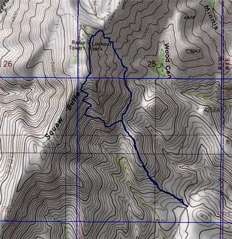
Long Hollow Creek comes down off of Squaw Butte and crosses Spring Creek Road at the parking spot for the Eastern Routes. Follow the ridge directly east following Long Creek to the base of the Southeast Rib. There are many class 3 spires and sheer cliffs directly west of the gulley or you can stay up the gulley with is class 2. After ascending the Gulley, you can finish the loop by decending the SE Rib.Route Description
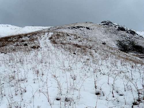
The “Prime Rib Gulley is on the eastern side of the SE Rib. Use the same starting point as the SE Rib route, ascend to the bottom of the rock spires at the base of the SE Rib route and proceed east to the bottom of the “Prime Rib” gulley, work your way north to the summit ridge about 1800 feet of elevation gain to reach the summit from the start of the route.Getting There
Squaw Butte is located about 10 miles northeast of Emmett, 12.2 miles northwest of Horseshoe Bend, and 30 miles north-northwest of Boise, Idaho.Obtain Route 52 from either Emmett or Horseshoe Bend Idaho. The turn-off is right at Black Canyon Dam and the road is marked Spring Creek. Follow this road north with the route and peak visible most of the time. For the eastern climbs, park about 5.6 miles north on this road at a spot just before the roads turns east and drops down.


