
|
|
Route |
|---|---|
|
|
33.26085°N / 116.19832°W |
|
|
Hiking |
|
|
Winter |
|
|
Half a day |
|
|
Hike |
|
|
Overview
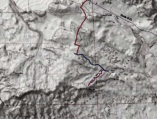
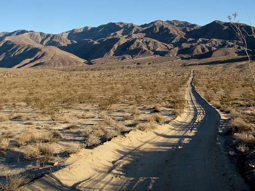
Like the nearby Fonts Point, Vista del Malpais is one the two designated points with fantastic views of the badlands of southern California’s Anza-Borrego Desert State Park. Most people reach Vista del Malpais via a network of scenic four wheel drive roads that span the desert floor or follow the sandy bottoms of dry washes. To better experience the area, I highly recommend that you hike the roads. I only saw a few vehicles on the route described below. The shortest route to Vista del Malpais is via Thimble Trail off of Route S-22.
Getting There
Directions to Thimble Trail four wheel drive road:
From Christmas Circle in Borrego Springs, CA, drive 12.5 miles east on Route S-22 to just before mile marker 32 (31.9). Thimble Trail Road is on the south side. There is plenty of parking (This is the same parking spot for climbing Villager Peak).
Route Description
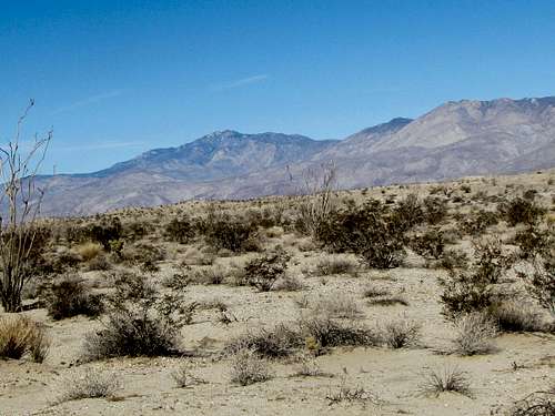
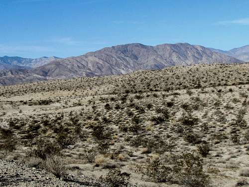
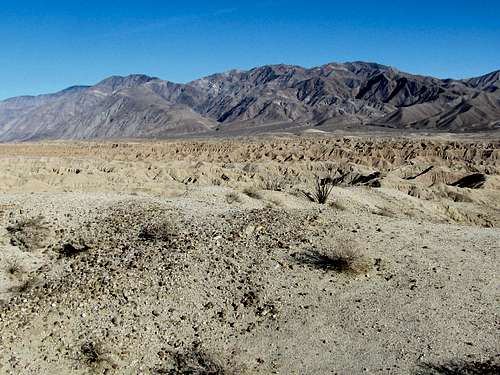
Head south on Thimble Trail. The road remains on the desert plain with great views of the surrounding mountains.
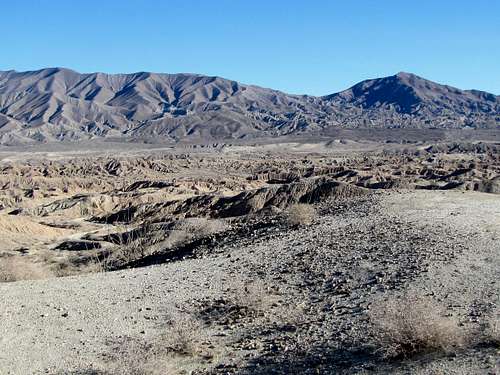
 Santa Rosa Mountains Santa Rosa Mountains |
 Badlands Badlands |
 Torro Peak Torro Peak |
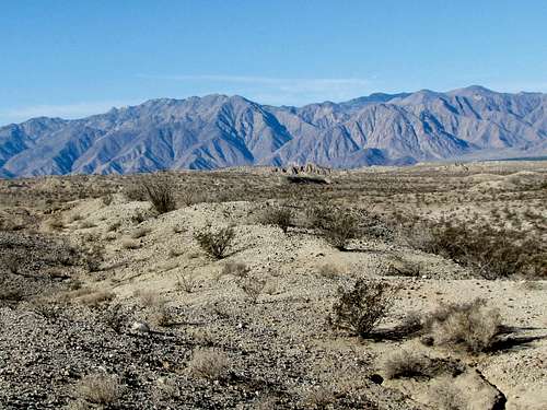 San Ysidro Mountains San Ysidro Mountains |
 Coyote Mountain Coyote Mountain |
 Travellers Peak Travellers Peak |
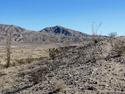
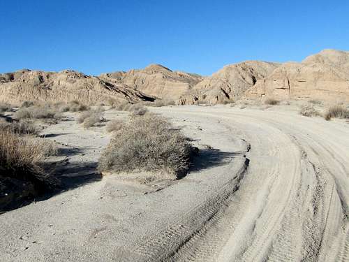
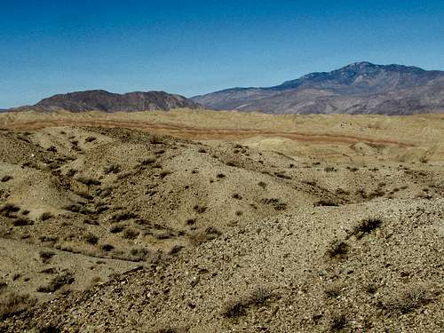
You will then reach the junction with Short Wash Road. Right takes you toward Fonts Point. Turn left and head east a short distance until you reach the edge of Short Canyon. Follow the road down into the canyon.
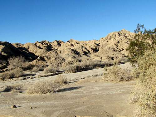
 The road going into Short Wash Canyon
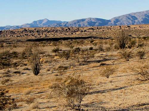
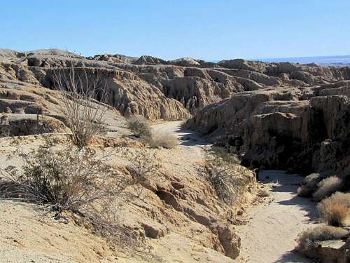
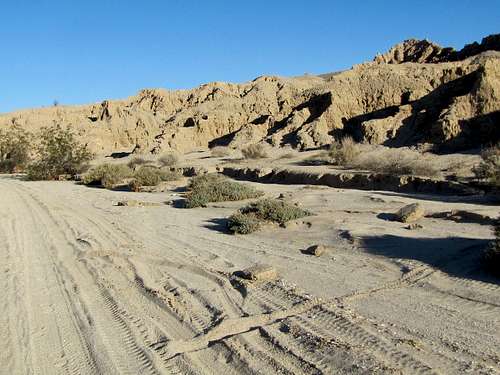
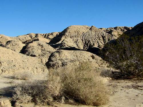
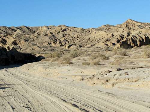
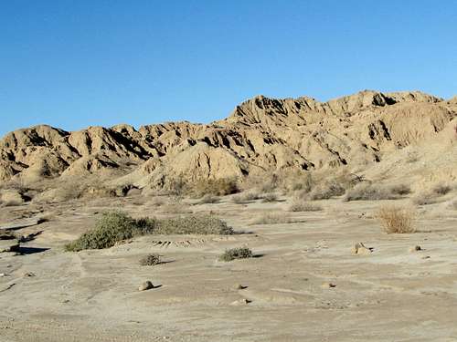
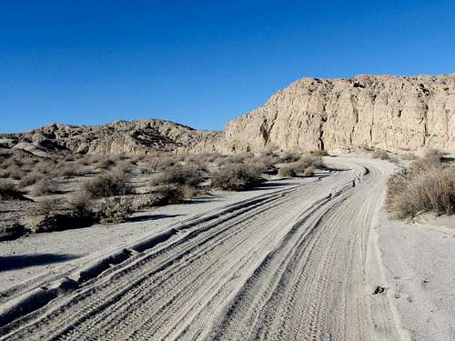
Once in the canyon, you will find yourself surrounded by badlands. Follow the sandy road at the bottom of the wash.
 |
 |
 |
 |
 |
 |
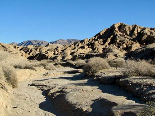
Turn right (south) at the junction with Malpais Wash and follow it uphill.
 |
 |
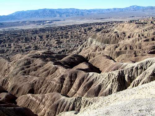
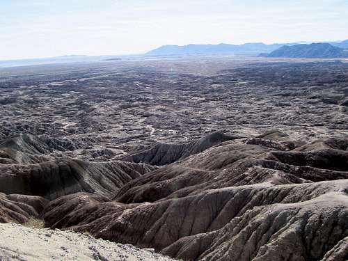
You will then reach the end of the road. Follow the trail to the top of a ridgeline at Vista del Malpais. Fantastic views are visible all around.
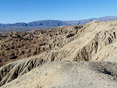 Looking west Looking west |
 Looking SW Looking SW |
 Looking SE Looking SE |
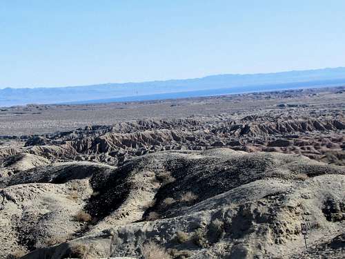 Looking east Looking east |
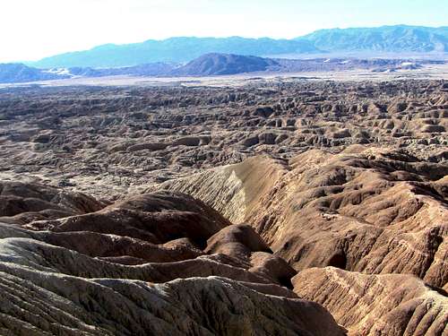 Looking south Looking south |
 Travellers Peak Travellers Peak |
 Santa Rosa Mountains Santa Rosa Mountains |
 Coyote Mountain & Torro Peak Coyote Mountain & Torro Peak |
When to hike
Winter, late autumn or early spring. Summer can be dangerously hot.
External Links
Guidebook: The Anza-Borrego Desert Region by Lowell & Diana Lindsay.