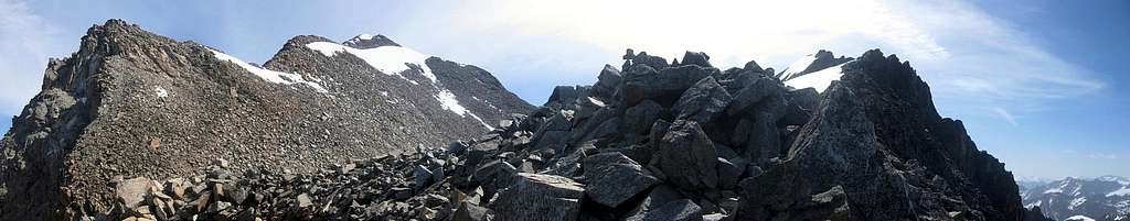
145 degrees panorama of the final part of the route on Hohe Geige
The final part is the same for the normal route and the west ridge route. From this point, it's about half an hour to go to the summit, just left of center, and the terrain is now easy enough that you can choose your own way up.
What this photo does not show is that there is a bowl with a small lake and an ice field between where I'm standing and the boulder slope leading to the summit. In the early summer of '12, there was still quite a bit of snow on it, and it was soft, which made it easier to go around it. Going up, I followed the right hand side, on the descent I took the other way.
29 June 2012.


