Toggle navigation
Mountains
Routes
Images
Trip Reports
Forum
What's New
People
Areas & Ranges
Articles
Trailheads
Canyons
Huts & Campgrounds
Albums
Logistical Centers
Fact Sheets
Lists
Custom Objects
Gear
Plans & Partners
WELCOME TO SUMMITPOST
SIGN IN
REGISTER
A bit longer...
View High-Resolution Image
A bit longer...
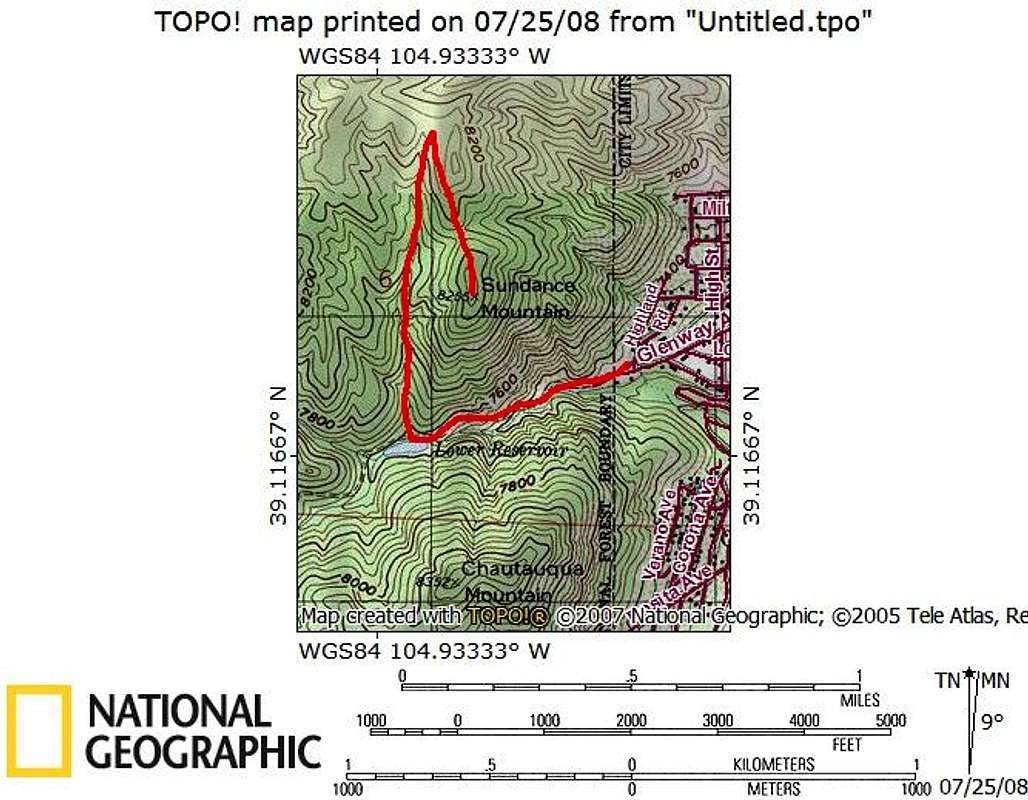
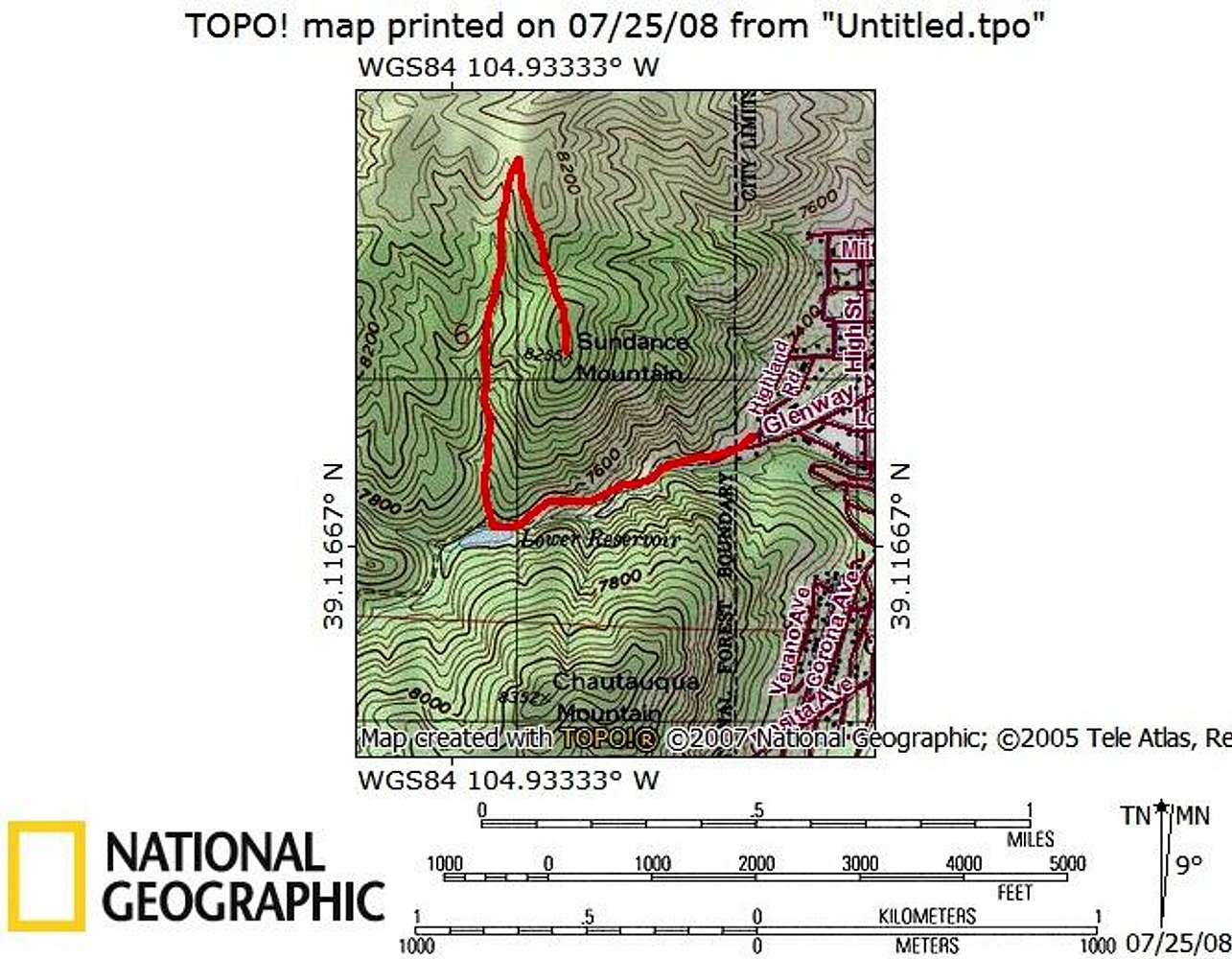
If you stick to the more heavily defined trail all the way to the saddle to the north, the route goes a little more like this, Slightly longer, but a more gentle grade at the finish.
« PREV
NEXT »
Jeremy Hakes
on
Jul 25, 2008 10:11 am
Comments & voting
Other parents
Lat/Lon:
39.12180°N / 104.9295°W
Image Type(s):
Topo/Diagram
Image ID:
424576
1205 Hits
0
% Score
0
Votes
Log in to vote
Comments
No comments posted yet.
to post!
Don't have an account?
Monument Creek Route
(Route)
You are at
the First
Image
Viewing
#1 of 1
GALLERY
You are at
the Last
Image
Jeremy Hakes's Image Gallery
« PREV
Viewing
#627 of 927
GALLERY
NEXT »
Monument Creek Route
(Route)
Loading....
×
You need to login in order to vote!
User Name
Password
Remember me
Forgot your password?
Log me out when I close my browser.
Keep me logged in all the time.
sign in as a user
Don't have an account?
Register now for FREE
Rating available
Suggested routes for you
People who climb the same things as you
Comments Available
Create Albums
Register Here


