|
|
Route |
|---|---|
|
|
18.76762°N / 145.66576°E |
|
|
Hiking |
|
|
Spring, Fall |
|
|
Expedition |
|
|
Class 4 |
|
|
II |
|
|
Overview
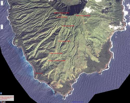
In June, 2015, members of the US Highpointers Club made a summit attempt aiming for the western summit with the hope of traversing the crater rim to reach the eastern summit. Looking at topo maps and satellite photos it was decided to attain a south-southwest ridge which slightly zig-zags its way from near the village to the western summit. What follows is a brief description of their attempt; full details are found in their trip report.
Getting There
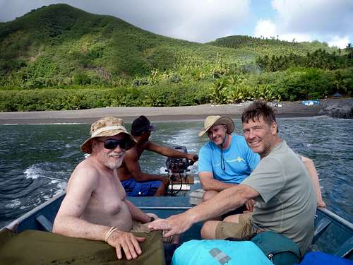
The team decided to charter a boat (Super Emerald) to get from Saipan to Agrihan with the climbers, local support members and all their food/water/camping gear. Talking with NIMO and the boat captain it was decided the best landing place is on a southwest beach near the abandoned village [Ed: populated since 2016]. The team established a beach camp while cutting a path through the dense sword grass (slow work) along the south-southwest ridge line.
Route Description
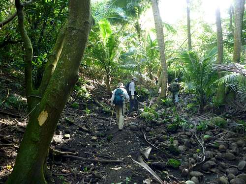
The lower 1/4 of Agrihan is covered in mostly coconut palm forest. Along the edges or empty canopy there is moderate undergrowth, but in denser areas there is little undergrowth. The primary concern/danger is being careful of the abundant number of feral pigs.
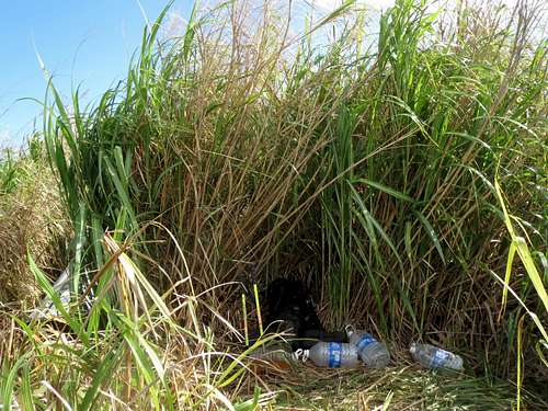
The middle 1/2 of Agrihan is covered in dense sword grass (typically 6 feet/2 meter tall) that you have to machete your way through. This is where the 5 local support members came in valuable. Three members would work on cutting new trail while the other two would carry water/supplies.
After two days the team established a base camp at 1980 feet / 603 meters. From here it took another 2 days to almost reach the western summit.
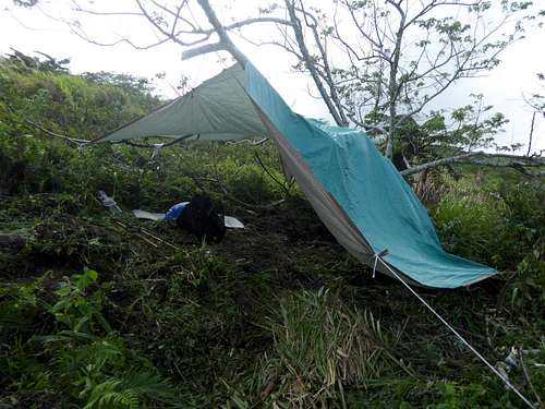
A second camp was established at 2570 feet / 783 meters. At this altitude the sword grass becomes less dense and smaller (waist high). The upper 1/4 of Agrihan has patches of trees which are easier to pass through than the sword grass.
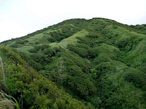
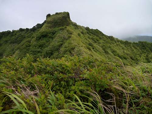
On summit day it was pretty windy and cloudy. It seemed like it would be easy to reach the western summit ... until we came to a dead-end. The ridge line broke away at some point in the past leaving a 40 foot vertical drop before continuing again to the crater rim and the western summit.
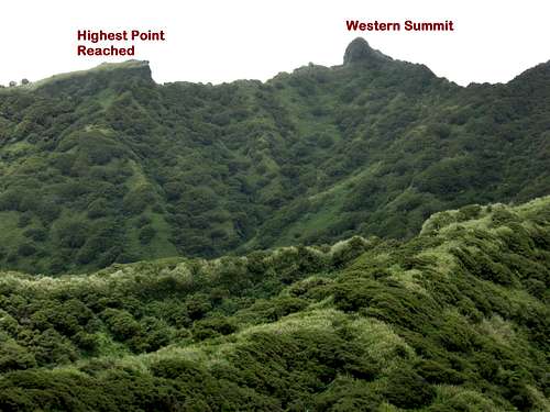
The team back-tracked down the ridge line to the second camp looking for alternative paths but didn't find any. Given time and supply constraints it was decided to abandon the expedition.
Essential Gear
Sufficient food and water (especially important due to the heat and humidity) is needed for all team members. You may consider bringing supplemental food and water for any locals you hire since they tend to underestimate their needs.
Since the team did not successfully reach the western summit, technical gear requirements are speculative. Based upon 2018 experience you may need:
- full-length climbing ropes
- snow pickets or lightweight angle iron to drive 1.5-2 feet into the soil/pumice-gravel as anchors
- lightweight (3-4 pounds/2 kg) sledge hammer
- caving ladder or jumars/ascenders
External Links
