Toggle navigation
Mountains
Routes
Images
Trip Reports
Forum
What's New
People
Areas & Ranges
Articles
Trailheads
Canyons
Huts & Campgrounds
Albums
Logistical Centers
Fact Sheets
Lists
Custom Objects
Gear
Plans & Partners
WELCOME TO SUMMITPOST
SIGN IN
REGISTER
Tabernés - Puerto de la Madera
Additional Parents
Image
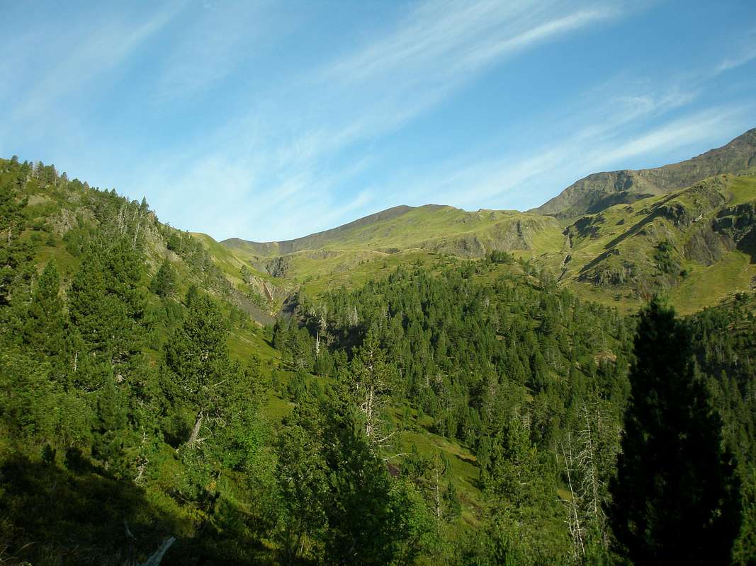
Barranco de la Madera
View High-Resolution Image
Barranco de la Madera
The upper parts of the Barranco (valley) de la Madera offer wide open prairies placed between the rocky Peña de Millarioux, Pic de Cauarère and Culfreda. The border between Spain and France goes along the ridge. August 2007
« PREV
NEXT »
eza
on
Aug 21, 2007 9:43 am
Comments & voting
Other parents
Lat/Lon:
42.70869°N / 0.17957°E
Image Type(s):
Informational
,
Scenery
Image ID:
326781
3699 Hits
76.66
% Score
7
Votes
Log in to vote
Comments
No comments posted yet.
to post!
Don't have an account?
Tabernés - Puerto de la Madera
(Route)
You are at
the First
Image
Viewing
#1 of 8
GALLERY
NEXT »
eza's Image Gallery
« PREV
Viewing
#112 of 1490
GALLERY
NEXT »
Culfreda / Batoua
(Mountain/Rock)
Loading....
Peña Blanca / Tuquet de Cauarère
(Mountain/Rock)
Loading....
×
You need to login in order to vote!
User Name
Password
Remember me
Forgot your password?
Log me out when I close my browser.
Keep me logged in all the time.
sign in as a user
Don't have an account?
Register now for FREE
Rating available
Suggested routes for you
People who climb the same things as you
Comments Available
Create Albums
Register Here


