|
|
Trip Report |
|---|---|
|
|
Download GPX » View Route on Map |
|
|
Sep 7, 2020 |
|
|
Hiking |
|
|
Summer |
Labor Day on Bison Peak, CO

Lost Creek Wildness always holds a special place in my heart as one of my first multi-day backpacks. Many, many years ago, I entered from the other side of Lost Creek Wilderness as a very inexperienced backpacker, but left knowing I had created a new life hobby. I still remember passing by Bison Peak and thinking that would be a cool mountain to climb with its crazy, rocky top. So, many, many years later, I spent a smokey Labor Day doing just that.
The easiet access to Bison Peak is from the south starting at the junction of Tarryall and Ute Creeks just off CR77 (paved). The altitude at the traihead is 8750 feet, so it's 3500 feet of elevation gain over six miles to reach the top. We left early to avoid the Labor Day traffic (success) and arrived at the traihead around 6:30AM. The total drive time from Denver is about 1 hour and 45 minutes.
The trail started out pretty flat as we worked our way along Tarryall Creek to reach the entrance into the Ute Creek drainage.

As you first enter Ute Creek drainage, there are a lot of aspen trees, so this would be a good area for seeing Fall colors later in September. There were actually a few trees turning early to give us a small color show.

It stays mostly flat along Ute Creek, but just before the Wilderness Boundary, it steepens up quite a bit and then it's 3000 feet of slogging through the forest up to around 12,000 feet where you finally break out of the trees and gain the ridge of Bison Peak.

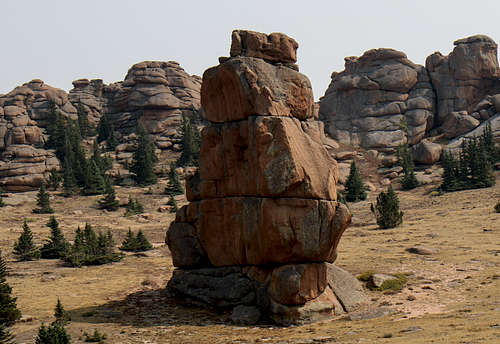
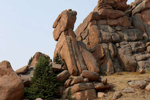
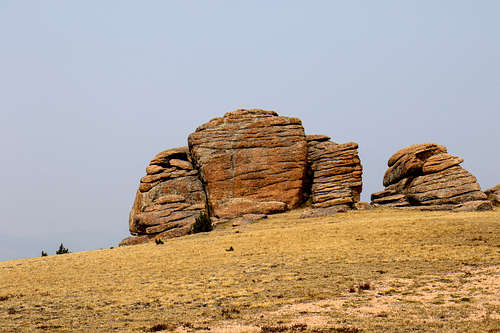
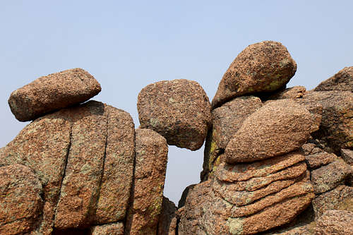
Once above the tree line, anyone familiar with the Pikes Peak/Lost Creek area will recognize the playground of strange rock formations.


Once on the ridge, we turned north to head for the summit of Bison Peak. The trail was faint here, but it was pretty obvious where we needed to go. We hiked across the open tundra trying to stay on what appeared to be the trail dropping down a couple of hundred feet before starting to climb again toward the summit. Stay west (left) of the larger "Hoodoo" looking rock formations that look like the summit but are not. The summit is set further back and becomes obvious as you approach it.

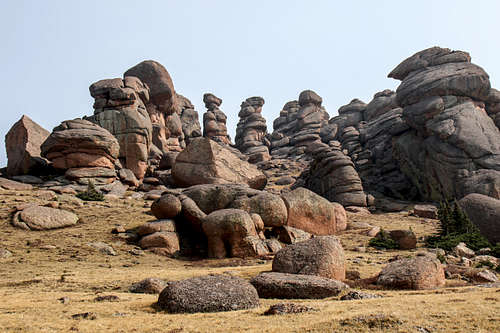
The summit is a rocky dome with great views (when it is not smokey from forest fires). It took us about four and half hours of slow hiking from the trailhead to the top. We ate a nice lunch after finding some shelter from the wind and then headed back down. All-in-all, a nice day hike with stunning rock formations.


