
-
 10847 Hits
-
 75.81% Score
-
 6 Votes
|
|
Route |
|---|---|
|
|
42.43890°N / 123.9133°W |
|
|
Hiking |
|
|
Spring, Summer, Fall |
|
|
A long day |
|
|
Trail hike |
|
|
Getting There

Route Description


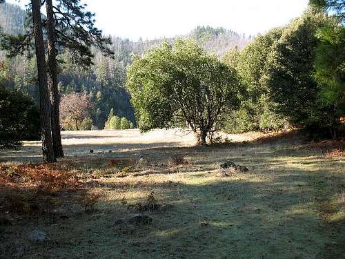
The trail parallels the Illinois River that is on your left as you proceed westerly down river. The trail is in great shape and there are great views of the river as the miles pass. You pass over several creeks along the way and instead of losing elevation by going down river, you gain elevation up to about 1,630 ft at 4.9 miles from Briggs Creek. At this point you reach a fork in the trail and you have a choice of going left or right. You can get to the summit by going either way.

Going left is shorter but has more elevation gain and takes longer. Since the trails meet at the summit, you can complete a loop by going one way and coming back the other. I chose to go left. Left takes you down to the Illinois River and Pine Flat. The trail loses about 1,000 ft before it starts back up. This trail is designated as 1219 on the maps.

The elevation is lost quickly and then enters a forested area near the Illinois River and crosses Pine Creek. Pay attention at the bottom of the hill because the trail is easy to lose here and if you go back up this way, you may have a problem finding the trail. There is a big cairn at the bottom of the hill, but it isn’t obvious where the trail is. After you get to the bottom of the hill, you have to cross Pine Creek and there is no bridge. After a heavy rain or early in the spring this creek crossing may be real challenging if not impossible.
Once across Pine Creek, follow the faint trail under the forest covering. The trail goes out closer to the river and part of it is along the rocky bank of the river. There are a few more cairns to mark your way, but the trail isn’t real easy to follow. Eventually it passes the old Weaver Ranch homestead and crosses a large meadow. This lower portion of the trail is about 1.0 mile before you cross Florence Creek. Florence Creek is another creek that could be a real problem if it has recently rained or in early spring.
After crossing Florence Creek, the trail leaves the Illinois River and climbs up toward Bald Mountain. Apparently the route along the river was too steep and rugged for the trail builders, so they routed the trail over Bald Mountain because it was easier.
The trail here is steep, gaining over 3,000 ft in elevation in about 3.0 miles. The trail is not easy to follow. The Biscuit Fire caused some damage here and the trail is somewhat obscure. There are a few cairns and the route has been flagged with surveyors tape in places, but it is still difficult to follow. Pay attention and keep heading uphill. Eventually, the “trail” becomes a real trail again and you are on top of a ridge with a few views of the river far below and also the summit area ahead.
Continue up the trail until it meets trail 1161 coming in from the right. Turn left and follow it towards the summit about .5 mile ahead. Just before the summit there is another unsigned fork with the right fork actually going to the highpoint. The left fork goes to a campsite and then continues another 16 miles towards Agness. The total distance for this leg of the hike is 10.6 miles from Briggs Creek with about 4,100 ft of elevation gain.
To complete the loop for this hike stay left where trail 1219 met trail 1161. This is a better trail than the one coming up from Pine Flat. The trail descends the east ridgeline of Bald Mountain. As you descend you will see a gravel road on the left near the ridgeline. The trail parallels the road for a ways before the trail turns back towards the Illinois River and meets the trail that leads back to Briggs Creek. An alternate route to the summit uses this gravel road for access from Silver Creek. See the Silver Creek Route for those details.
This loop trail is nice and well maintained. It crosses a few creeks and in only 7.1 miles comes back to the spot where I chose to go left on my hike up to the summit. This route back to the Briggs Creek trailhead is 12.0 miles in length, but there is less elevation gain than the route back down to the river and then back up over this ridge. This total hike doing the complete loop is 22.6 miles, gains almost 4,800 ft in elevation, and took me about 10 hours.
Essential Gear
