
-
 4655 Hits
-
 79.78% Score
-
 11 Votes
|
|
Mountain/Rock |
|---|---|
|
|
38.62344°N / 122.6028°W |
|
|
Napa |
|
|
Hiking |
|
|
Spring, Summer, Fall, Winter |
|
|
1600 ft / 488 m |
|
|
Overview
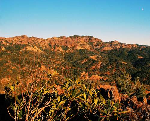
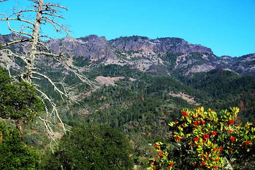
Palisades from "Calistoga Ridge"
Getting There
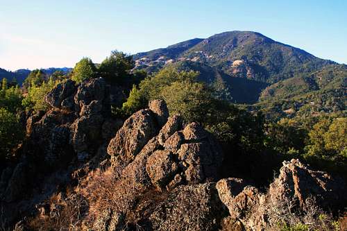
Mt. St. Helena from "Calistoga Ridge"
From Calistoga: From the junction of Hwy 128 and Hwy 29 at Calistoga take Hwy 29 3.6 miles through the town a left up to the shady pullout on the right.
Route
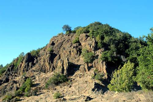
First big rock along the ridge
Simply cross the road and start up the grassy south ridge beyond an old busted down fence. A short ways up rock outcrops dominate the route, then more grassy open areas. Then more class 2-3 rock is encountered. Maybe a little bushwhacking. The peak has 3 high points. The first is open hillside (1,530'). The second and higher one to the north is class 3 rock outcrop (1,575'). The highpoint a few hundred yards north of that has a few trees and rock formations (1,600+') but no climbing.
Round trip is about 3 miles with 1,000' of gain coming and going.
Red Tape
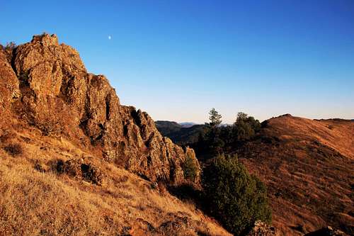
Middle summit rocks left looking south along the ridge
When to Climb
Palisades from "Calistoga Ridge"