-
 7041 Hits
-
 74.92% Score
-
 5 Votes
|
|
Route |
|---|---|
|
|
46.16911°N / 114.28477°W |
|
|
Download GPX » View Route on Map |
|
|
Hiking, Mountaineering, Scrambling, Skiing |
|
|
Spring, Summer, Fall, Winter |
|
|
A long day |
|
|
Class 3 |
|
|
Strenuous |
|
|
I |
|
|
Overview
Route Type – Hike and Scramble Class Level – Class 3 Elevation – 9,119’ Gain – 3,791’ Distance – 5.9 miles (one way) Time Required to Complete This Route – 6 to 8 Hours (round trip)
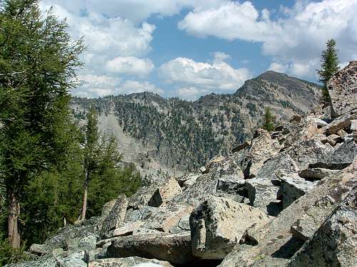
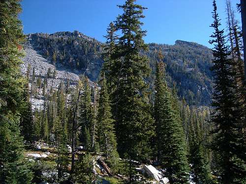
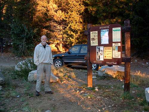
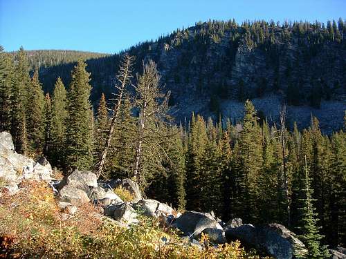
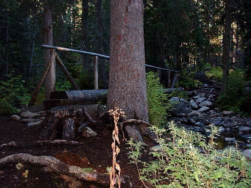
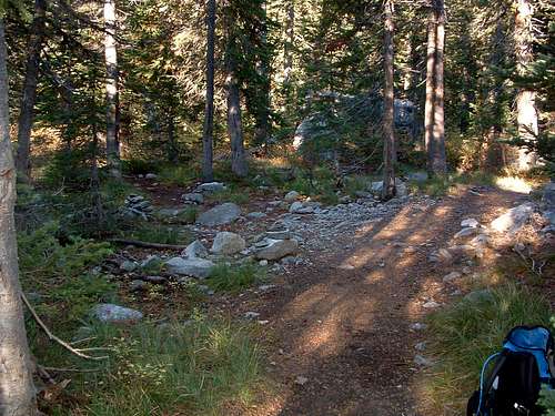
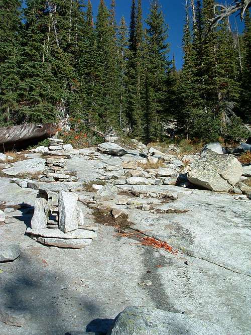
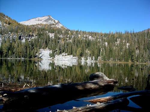
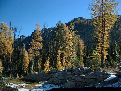
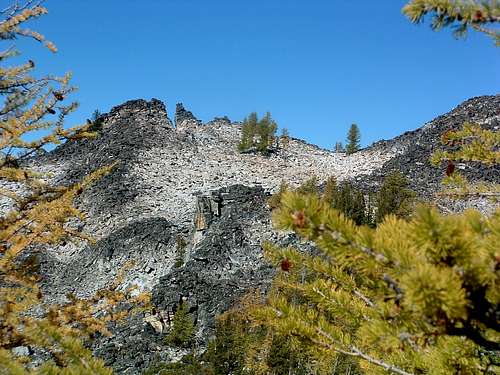
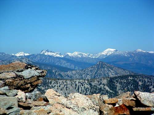
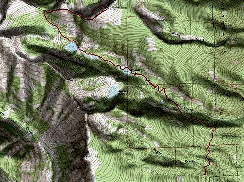
This route can be used in combination with the standard East Face route for a nice all-day point-to-point outing. When I combine the two routes, I always begin with this one and descend by the standard East Face route which I consider a bit of a slog. This route provides some great back-country scenery. It does require a bit of route finding, though nothing difficult - no serious bushwhacking. Ward Mountain, a true behemoth, sits southwest of Hamilton, MT, between Roaring Lion Drainage to the north and Lost Horse Drainage to the south. So massive is this mountain, it has its own drainage (Camas Creek) issuing from a series of lakes high in a cirque just south of the summit. Getting ThereCamas Lakes Trailhead Drive south from Hamilton, MT for a little over 9 miles. Turn right (west) onto Lost Horse Creek Road. Drive 2.4 miles to a posted junction with FR 496. Take the right fork (northwest) onto the gravel road and drive for 6.1 mile to the well marked pull-off for the trailhead. There is ample parking for several vehicles but no restroom facilities. RouteAt a point approximately 2.25 miles from the trailhead, you will cross two bridges in rapid succession over a couple of rushing streams. The trail now begins a more rapid ascent but there are several switchbacks to lessen the impact on your legs. The trail levels off a bit as you approach the 2.5 mile mark. There is a faint trail to your left (southwest) which is marked by a few smallish cairns, three the last time I checked. This trail will lead you to Kidney Lake. The trail has been abandoned by the Forest Service, and it’s too bad, because Kidney Lake is one of the nicest high lakes in the Bitterroot Mountains. There are innumerable camping spots, fish in the lake, and almost no one ever visits. What more could one ask? From Lower Camas to Middle Camas Lake is about .5 mile. For the most part the trail is good though there are a few places where you may lose it when crossing huge slabs of granite. Fortunately, there are some good cairns along this section of trail, some rather interesting and ornate. The trail continues along the north side of Middle Camas and stays quite close to the shoreline. By the time you reach the far (west) end of the lake you will have a good view of Camas Peak. After Middle Camas Lake the .25 mile of trail is quite good until it nears Upper Camas at which point it grows indistinct (braided in some places) as it approaches a series of small granite cliffs. Don’t worry about keeping to closely to the trail. All you have to do is head directly west up, over, or around the granite cliffs and you will find the lake. Follow the trail around the north shore to the northwest corner of the lake. From this point on, you will be finding your own way; there is no trail. Pick a line almost directly northwest and head uphill through the fairly open woods across bear grass and through the undergrowth. It doesn’t take long before the terrain levels off as you enter Camas Cirque. Take a good look at the flank of Ward and the slab granite which populates its lower edge. Work your way along the lower edge of these slabs as you continue to travel northwest. If you get too high, the going is more difficult and if too low, you’ll be traveling through brush and deadfall unnecessarily. Your route should take you to the saddle (col) along the northern edge of the Camas Cirque where Ward’s west ridge begins. It’s pretty easy to see, just keep studying the terrain ahead as you progress uphill. Once you reach the saddle, about 4.75 miles from the trailhead, take a few minutes to appreciate your surroundings as you look at the area’s interesting highpoints. From here to the summit is almost all scrambling, mostly Class 2+ with some Class 3 thrown in here and there. Again, there is no trail to follow, just a ridge-crest heading due east. There is plenty of route finding to be done over the rock and around the plentiful scrub doing its best to impede your progress. As you pass along the south side Point 8765, your passage will be more-or-less over level terrain. However, your path is impeded by huge boulders and blocks. No path is better than any other; just pick one. I found the rock outcroppings on this section of the ridge-crest rather interesting, in spite of the fact that it seemed to require more energy than I thought it should to dodge all the obstacles. Toward the end of this mostly level section, the ridge-crest takes a turn toward the northeast. The last pitch of the route is directly up this steep talus-covered ridge as it gains about 500’ in elevation before reaching the large flat summit of Ward. Essential GearRequirements for special gear on any of the routes to the summit are dictated by the season of the year.Water is available several places along this route until you reach the Camas Cirque. From that point on there is none. When To GoPeople visit the summit of Ward Mountain during every month of the year. Snow or ice on the routes will, of course, increase their difficulty.The area around and above the Camas Lakes is very popular with back-country skiers. Some of the slopes are susceptible to avalanche so know what you're doing if you attempt this route under snow conditions. Route Statistics |


