-
 7132 Hits
-
 74.92% Score
-
 5 Votes
|
|
Route |
|---|---|
|
|
46.16911°N / 114.28477°W |
|
|
Hiking, Mountaineering, Scrambling, Skiing |
|
|
Spring, Summer, Fall, Winter |
|
|
Most of a day |
|
|
Class 1 - Strenuous |
|
|
Overview
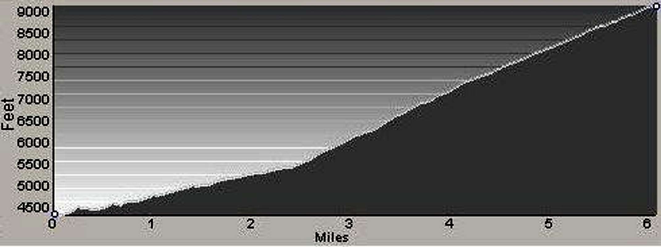
Route Types – Hike Class Level – Class 1 Elevation – 9,119’ Gain - 4,985’ Distance - 6.1 miles (one way) Time Required to Complete This Route – One Day
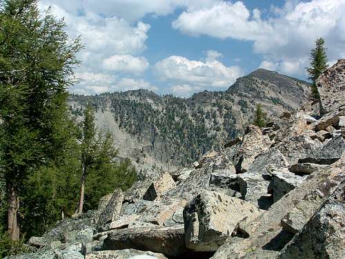
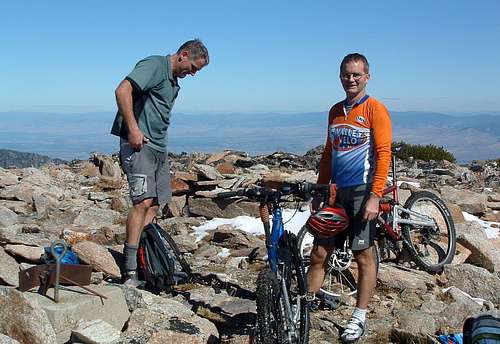
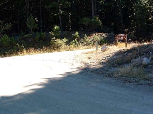
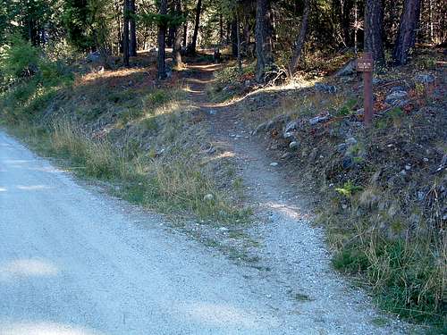
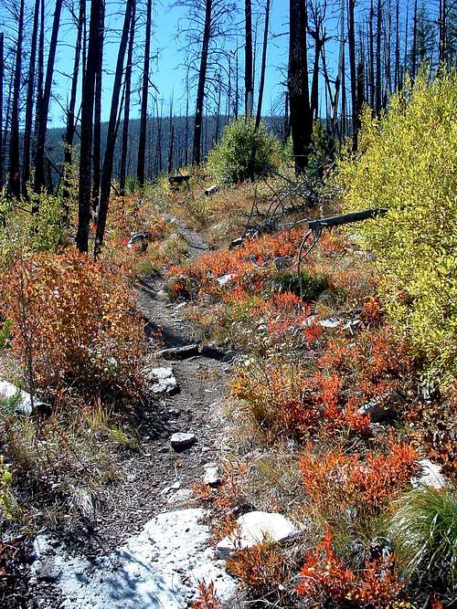
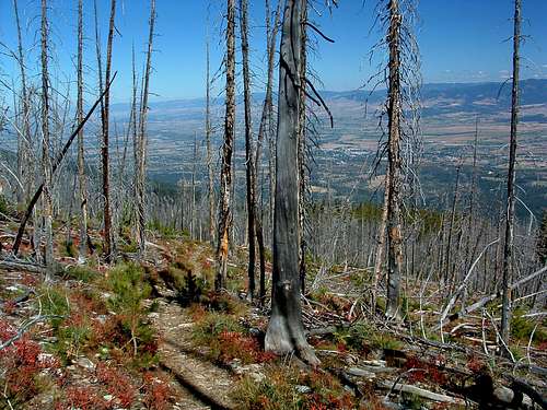
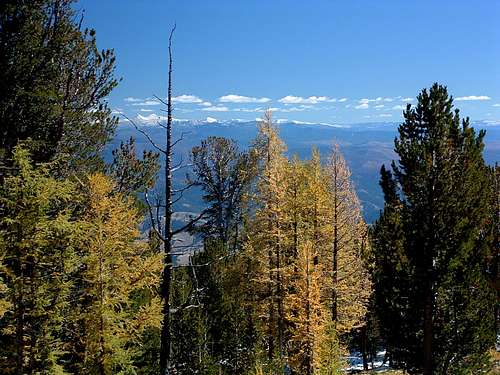
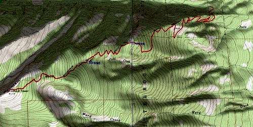
Though mountain bikes are allowed on this trail, the effort required to reach the summit on a bike limits riders to an extremely small number. On summer weekends you may see a bike or two, but usually on only the lowest mile or so of the trail. Ward Mountain, a true behemoth, sits southwest of Hamilton, MT, between Roaring Lion Drainage to the north and Lost Horse Drainage to the south. So massive is this mountain, it has its own drainage (Camas Creek) issuing from a series of lakes high in a cirque just south of the summit. Ward Mountain is named for George Ward who owned land at its base. He was one of the early miners on Hughes Creek. The name was applied before 1898. There was a lookout tower near the summit for many years; now nothing but pieces and parts remain. Getting ThereFrom Golf Course Road (the last stoplight)on the south side Hamilton, MT, drive south on Hwy 93 about 3.4 miles. Turn right (west) onto Roaring Lion Road (531). Drive 2.5 miles to the intersection with FR 1134. The Ward Mountain trailhead is marked with a small sign on the south side of the road. Parking is limited and there are no restroom facilities. RouteFor most of the first mile the trail runs through heavy forest as it works its way toward the crest of a ridge. Though the forest is still fairly heavy, you begin to get occasional glimpses of the surrounding world through the trees. Finally, just before you reach 2 miles from the trailhead, you enter an open area populated by some very large Ponderosa Pine trees. More than likely, these are the only survivors of some long-forgotten fire. The trail continues to use switchbacks to take you higher. About this point you will probably notice the steepness of the route increasing a bit. Be thankful it’s only "a bit" because at around 2.5 miles the incline gets really serious as it gets closer to a ridge crest. Just before you reach 3 miles, you will enter the lower portion of a huge burn. The trail traverses uphill in a southerly direction for a long while before it switches back once again. About 3.75 miles from the trailhead, the route again enters a patch of green as it temporarily leaves the burned area. A few hundred yards after entering the greenery you will come to the Ward Mountain Overlook on your right (north). Take a few minutes to look into the Roaring Lion Drainage while you catch your breath. Fortunately, from here on to the summit, the angle of incline is slightly less. Shortly after leaving the overlook, the trail re-enters the burn. By this point on the trail, the views to the east are quite good. On a clear day you should be able to pick out recognizable landmarks in the valley and beyond. The Pintler Mountains, far to the east, should be peeking (pun intended) over the Sapphires just about now. As you move through a mixed open forest which includes Alpine Larch and Whitebark Pine, your legs finally get some relief from the unrelenting incline. You’re nearing the summit and the terrain is flattening out. The forest grows progressively more open and the trees more stunted from this point upward. And best of all, the angle of incline decreases substantially. Compared to the lower portions of the trail, the last half mile seems almost flat. And as you approach the summit, where you are greeted by the remains of an old fire lookout, it is, (flat that is). Essential GearRequirements for special gear on any of the routes to the summit are dictated by the season of the year.Water is available along the standard route where a small stream crosses the trail about 4.7 miles from the trailhead. When to GoPeople visit the summit of Ward Mountain during every month of the year.Snow or ice on the route will, of course, increase its difficulty. Because the steepest portions of this route are heavily forested or work along ridge crests, there is little chance of avalanche. However, that doesn't mean you shouldn't pay attention to the conditions when you use this route when there is snow on the mountain. Route Statistics |


