
|
|
Mountain/Rock |
|---|---|
|
|
35.61200°N / 81.64°W |
|
|
2291 ft / 698 m |
|
|
Overview
Chestnut Knob is one of the peaks that make up the South Mountains. This highland in North Carolina, near the town of Morganton, is separated from the main body of the Appalachian Mountains. The highest peak in this range barely scrapes 3,000 feet, but they rise from base elevations of 900 to 1200 feet. They are marked by deep gorges and scored by numbers of streams, small rivers, and waterfalls. The South Mountains are home to the cleanest watershed in the state and, perhaps, on the east coast. The two watersheds of the South Mountains are unpolluted by any manmade factor, are free of timbering, and largely roadless. While there are few spectacular vistas to be had in this range, there is plenty of rugged wilderness marked by plunging gorges. When one is in the South Mountains, it is difficult to find oneself out of earshot of tumbling water. Jacob Fork Gorge.
Getting There
Located in Burke County, 18 miles south of Morganton. From I-40, turn south on NC 18, travel nine miles and make a right turn onto SR 1913 (Sugarloaf Road). Take SR 1913 to Old NC 18 and turn left. Travel four miles and make a right turn onto SR 1901 (Ward's Gap Road). The park is off SR 1901 on SR 1904. Summit area.
 |
Red Tape
No admission fees of any sort. The park has primitive camping and backcountry camping. The only closed day is Christmas Day. (Note: South Mountains State Park will be closed from April 1, 2004 until May 31, 2004 for road repairs.)Update: January 25, 2005. After being closed for over eight months, South Mountains State Park reopened on January 3, 2005.
 |
When To Climb
Any time of year.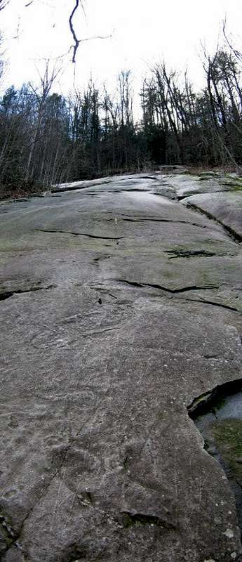 Relatively recent slide.
 |
Camping
 Tortured pine.
 |
Mountain Conditions
The weather in Morganton NC should be the same as for most of the South Mountains. Some differences could occur on the higher peaks. |