
-
 6718 Hits
-
 84% Score
-
 18 Votes
|
|
Route |
|---|---|
|
|
34.47129°N / 119.63494°W |
|
|
Hiking |
|
|
Spring, Summer, Fall, Winter |
|
|
Half a day |
|
|
class one |
|
|
Overview
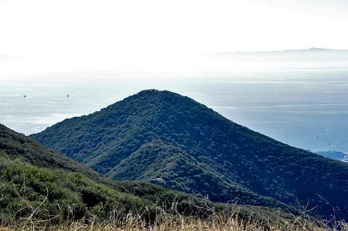
Montecito Peak seen from Camino Cielo Ridge
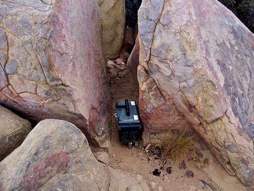
Summit Register
Getting There
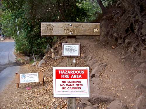
Trailhead
Turn left onto East Mountain Drive and drive 1.1 miles to where it crosses Cold Springs Creek. About two hundred yards before the creek you will see a wide turnout on the right side of the road. Park here and walk up the road to the trailhead.
Route Description
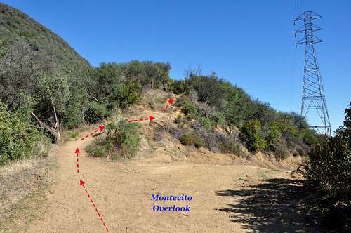
Montecito Overlook
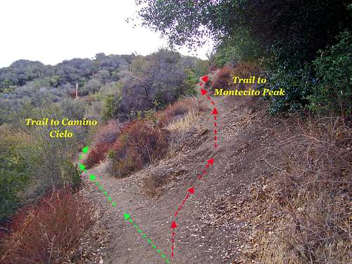
Fork on the trail to Montecito Peak
Option two: After a heavy rain the creek crossings of "option one" become difficult. The trailhead for "option two" is located some fifty yards to the east of the "option One" trailhead. There is no trailhead signs on this one. This trail has no creek crossings and leads to the same power lines, service road and Montecito Overlook.
From Montecito Overlook the trail rises steeply for another one and a quarter of a mile to two Eucalyptus trees visible from at least a mile below. This spot gives you the best view of the coastline of California in either direction. Looking in the opposite direction, Montecito Peak and its pyramidal shape is clearly visible.
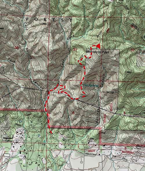
The last stretch of the hike is the shortest, but it includes the steepest part of the trail. From the two-trees spot continue up the trail until it becomes virtually level. Just before the end of the level section, you will see another trail forking steeply to the right. This fork will take you to the summit of Montecito Peak. The summit register is located between two rocks within a clump of boulders a few feet below the actual summit. From here, you will have an uninterrupted view of the coastline in one direction and Camino Cielo Ridge on the other.
| Points of Interest | Coordinates | elevation | distance from trailhead |
| Trailhead | 34.45556 N 119.65189 W | 662 ft | 0 miles |
| Montecito Overlook | 34.46084 N 119.64561 W | 1607 ft | 1.5 miles |
| Eucalyptus Trees | 34.46923 N 119.64577 W | 2410 ft | 2.75 miles |
| Trail fork to summit | 34.47343 N 119.63948 W | 2815 ft | 3.25 miles |
| Summit | 34.47129 N 119.63949 W | 3105 ft | 3.6 miles |
Essential Gear
A comfortable pair of hiking shoes, extra clothing, lots of water for summer months, flashlight, first aid kit.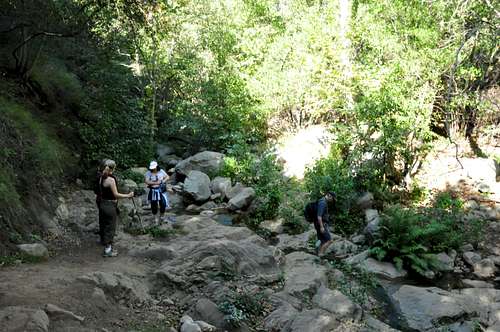 | 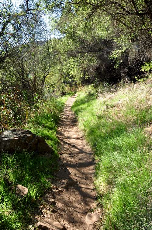 | 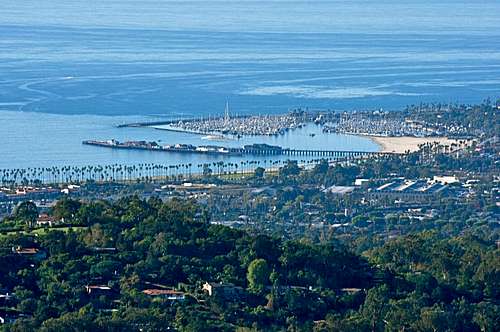 |
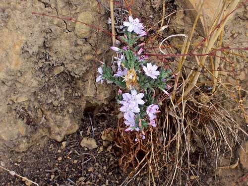 Wild Flowers along the trail | 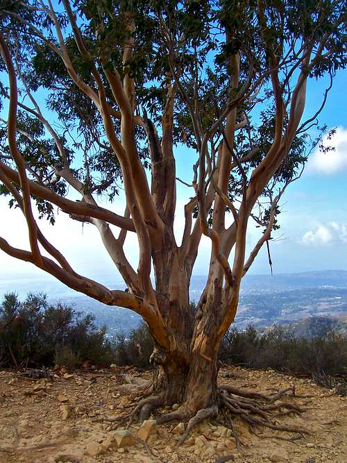 Eucalyptus Tree lookout | 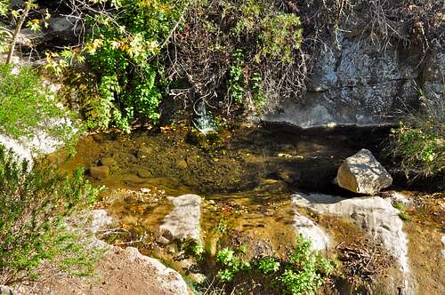 Swimming Hole along the trail |