Overview
Dominguez Canyon is a spectacular canyon in western Colorado offering a beautiful desert scenery with nice rock formations, year round water source with waterfalls, petroglyphs, primitive stone shelter and many other wonders. I visited this place several times, and keep coming back. I used different trailheads - Cactus Park Trailhead, and Bridgeport Trailhead. If you have only a short time, Bridgeport Trailhead is easier to access and brings you to the petroglyphs faster.
Cactus Park Trailhead: elevation 6,120 feet
![Primitive Stone Shelter]() Primitive Stone Shelter Primitive Stone Shelter | ![Geology of Dominguez]() Geology of Dominguez Canyon
Geology of Dominguez Canyon |
![Info sign]() Dominguez-Escalante Wilderness Area
Dominguez-Escalante Wilderness Area | ![Mushroom Rock]() Mushroom Rock Formation Mushroom Rock Formation |
The United States Congress designated the Dominguez Canyon Wilderness in 2009 and it now has a total of 66,260 acres. All of this wilderness is managed by the Bureau of Land Management.
Since it is a Wilderness area now, the Cactus Park Trailhead is not longer accessible by a 4WD vehicle, you have to hike to get there. I did not measure the distance, but it is a long hike on a rough dirt road. It is the largest BLM roadless area in Colorado.
![another view into the canyon]() View into the Canyon View into the Canyon | ![Duchess taking a break]() Duchess taking a break Duchess taking a break |
Big Dominguez and Little Dominguez Canyons have been carved through the sandstone of the Uncompahgre Plateau over the last 65 million years. For thousands of years Native Americans used these canyons for shelter, hunting, and as a travel corridor to the high country of the Uncompahgre Plateau. The rock art sites, located on the main trail, tell the story of those who came to Dominguez Canyon before us.
The petroglyphs are Barrier Canyon rock art, dating back two millennia, with some later images of Ute Indians on horseback as well. You'll see depicted hunting weapons knowns as atlatls, Desert Bighorn Sheep, deer, coyotes, migration symbols, and running rivers on large boulders. Please don't touch the rock patina as human contact can degrade the rock art.
Comments
No comments posted yet.

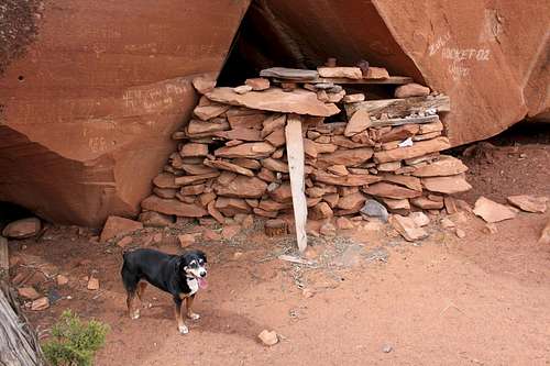 Primitive Stone Shelter
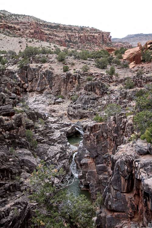 Geology of Dominguez Canyon
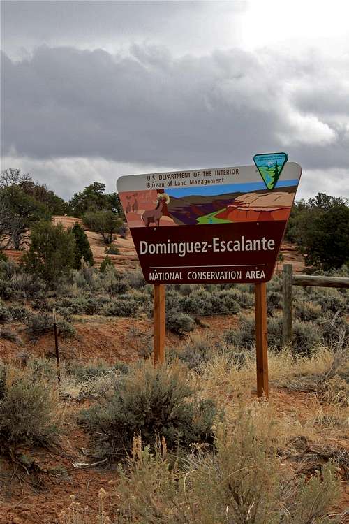 Dominguez-Escalante Wilderness Area
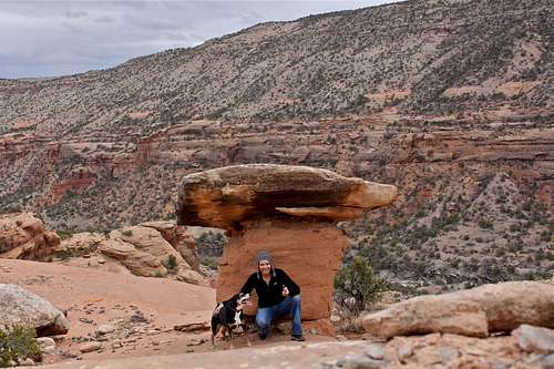 Mushroom Rock Formation
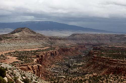 View into the Canyon
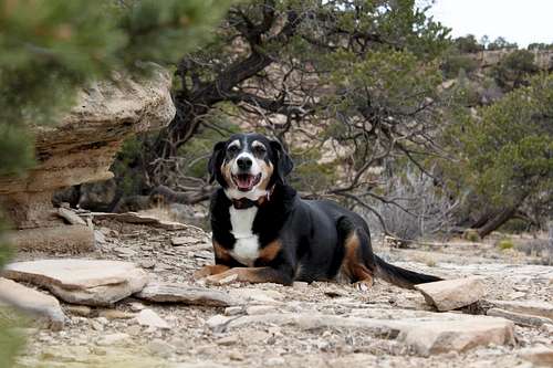 Duchess taking a break
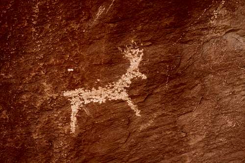 Petroglyph
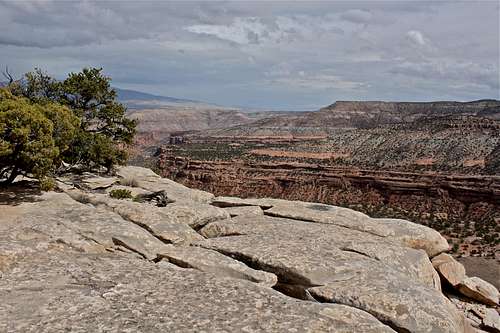 Canyon Rim Trail - as seen from Cactus Park TH
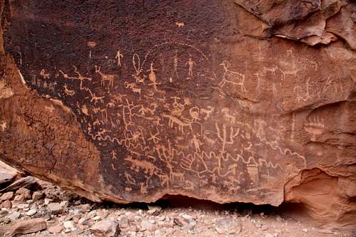 Petroglyphs
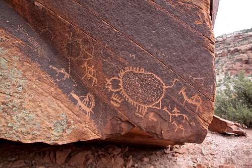 Petroglyph detail
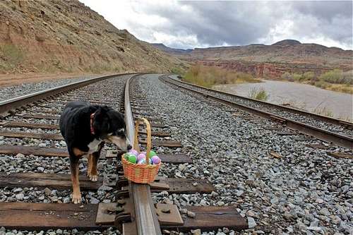 The initial section is along railroad and Gunnison River, 0.7 mile distance to the actual TH for Dominguez Canyon
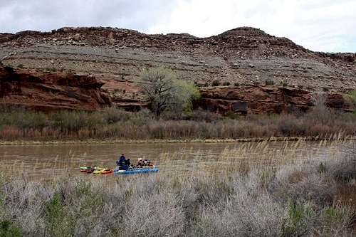 Rafters on Gunnison
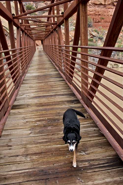 Duchess on a new pedestrian bridge
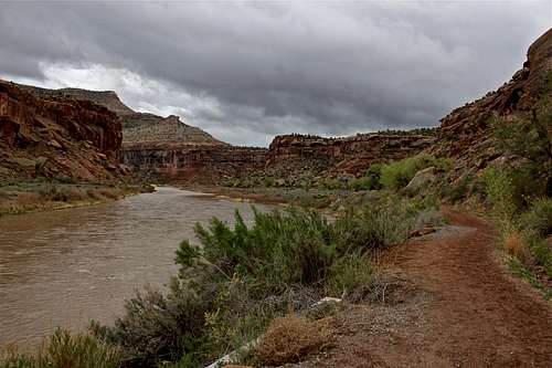 On the other side of the river
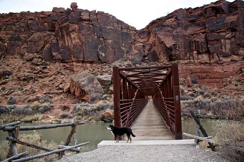 Bridge over Gunnison
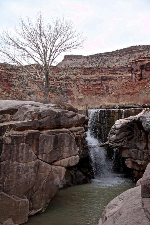 Waterfall on Dominguez Creek