-
 3376 Hits
-
 78.87% Score
-
 10 Votes
|
|
Route |
|---|---|
|
|
58.56761°N / 134.65387°W |
|
|
Download GPX » View Route on Map |
|
|
Mountaineering |
|
|
Summer |
|
|
One to two days |
|
|
5.6 (YDS) |
|
|
1 |
|
|
Overview
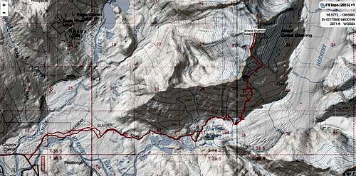
The Eagle-Herbert Ridge Route starts from the Herbert Glacier Trail Head and it 21 miles roundtrip. The trail can be biked for 4.3 miles, then its on foot the remainder. Follow the Herbert trail 4.9 miles until the terminus of the Herbert Glacier is in view. Climb up the user trail on climbers left until the large flat-ish granite area is reached at mile 7.2. from here head steeply uphill to the North. Before reaching the ridge summit, cut right below a hanging glacier and up the next ridgeline encountered. Then generally head North avoiding crevasses, and negating a short (about 20') 5.6 climb after a longer but easier downclimb. then walk the glacier and head up the the summit. More details are in the Route Description and on the attached .gpx file.
Avalanche danger may persist until summer. This route is for experienced mountaineers
Getting There
To access the trail to Earnest Gruening from downtown Juneau, Drive out Glacier Hwy until Mi. 28. The Herbert Glacier Trail is 4.9 miles long and ends at Herbert Glacier.
Route Description
The route starts from the well known Herbert Glacier Trail. Follow the trail (4.3 miles if you bike) 4.9 miles to the end of the maintained trail. From here follow the user trail on climbers left of the glacier to a large flat-ish area with huge pieces of granite bedrock at mile 7.2. There are some Ice Caves in the area that are interesting to explore.
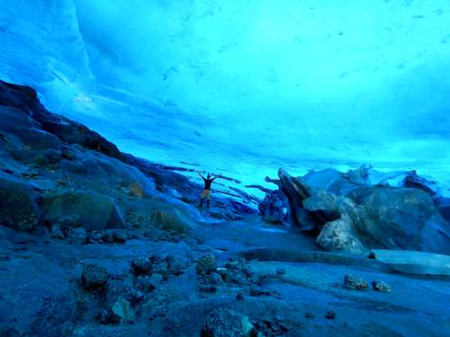
From here the trail goes straight uphill to the North until treeline is broken. Continue uphill until a hanging glacier comes into view on climbers right.
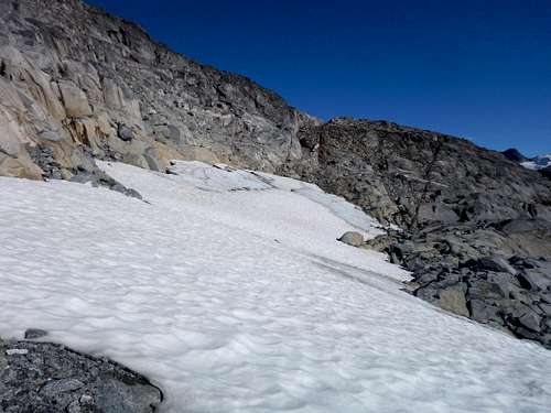
Cross below the small hanging glacier heading North-East to a dark rust spot on the far side, then turn North and climb all the way to the top of the ridge.
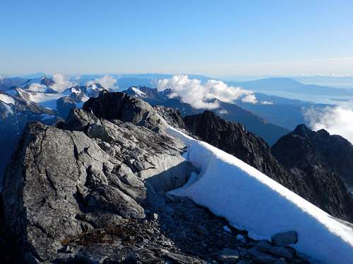
Follow the ridge till it ends in a cliff. Downclimb some easy 5.2 through a crack on the right as you face the summit. Then climb up a 20' 5.6 wall to the top of the ridge. Some webbing and a rope is strongly recommended. From here continue down the ridge until forced onto the glacier on climbers left. Avoid the ice wall below you by hiking directly away from the summit and going down on more suitable incline, then strait along the top of the hanging glacier to the North side of the summit block.
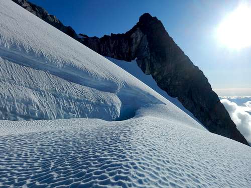
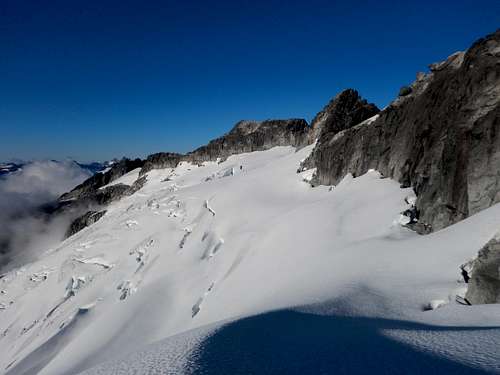
Avoid more crevasses by continuing North and then moving uphill to the ridge. Continue south on ridge until rock in encountered. An easy 5.3 scramble to the summit with exposure and many loose rocks.
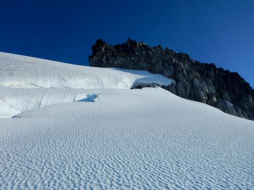
See attached .gpx for an exact route or check out the Juneau Hikes and Summits CalTopo page.
Essential Gear
Webbing, a 20m rope, harness, crampons, rappel device, and a few carabiners. In addition dress appropriately. Mountaineering boots or stiff waterproof boots are necessary and gators help keep your socks dry. Having a SPOT or InReach is a great idea. Bring extra dry/warm stuff.
External Links

