
-
 3949 Hits
-
 80.49% Score
-
 12 Votes
|
|
Route |
|---|---|
|
|
37.99121°N / 106.89509°W |
|
|
Hiking, Mountaineering |
|
|
Spring, Summer, Fall, Winter |
|
|
Half a day |
|
|
Class 1 |
|
|
Overview
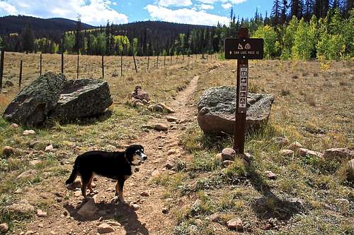
East Slopes - Organ Mountain - is the shortest and easiest route up Organ. It is pet friendly. The hiking is on and off trail since Hondo canyon trail is not maintained, and not very frequented. Expect a pleasant hiking along a stream to a high alpine valley, and solitude.Colorado Rank: 106 (bicentennial peak), and it is also among San Juan Highest 50 peaks.
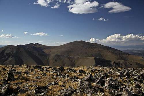 Stewart Peak and Baldy Alto from the summit of Organ Mountain | 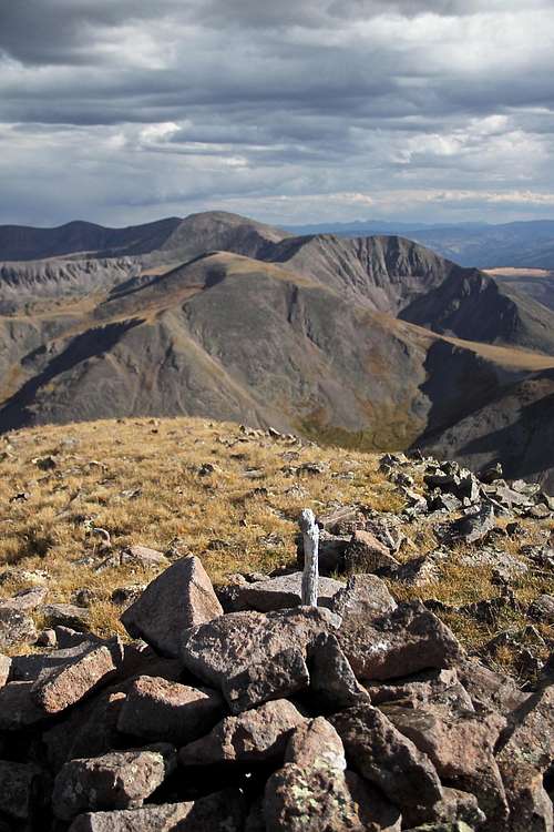 Phoenix and La Garita peaks | 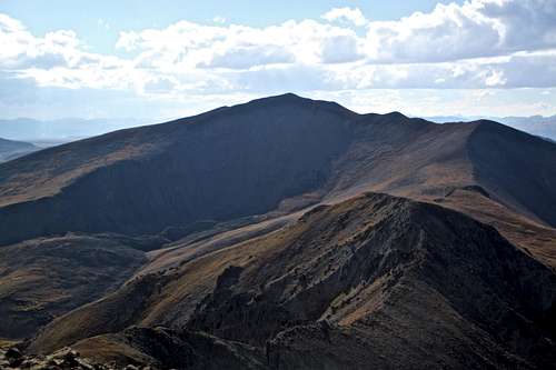 14er San Luis as seen from Organ |
Organ Mountain is located in La Garita Wilderness (La Garita means "the lookout" in Spanish) of San Juan Mountain Range. Both Colorado Trail and Continental Trail pass through this area.
Getting There
Eddiesville TH
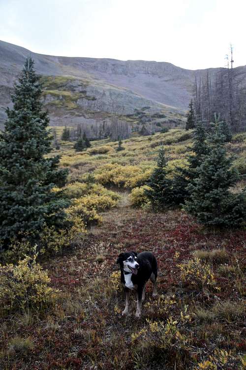
Hondo Canyon Grouse
At 12.3 miles go straight, and continue on FS 790. Pass Blue Park and at 22.5 miles, turn left onto FS 794.28. Cross Pauline and Perfecto Creeks (crossings are marked with names of creeks), then turn right at 26.3 miles onto FS 794.
Continue on this road passing Chavez and Nutras Creek (again marked crossings), and then Stewart Creek TH at 30.9 miles. This is a popular trailhead for fourteneer San Luis.
It is another 1/4 miles from Stewart Creek Th to Eddiesville TH. There are 2 parking areas here, use the southern one for Organ Mountain. The northern parking area is larger and has a vault toilet.
These roads are well maintained dirt road, 2 WD vehicles should be able to make it. Expect some creek crossings, high clearance vehicle would be advisable after rains. Roads are not maintained in the winter. Usually open from May through October.
![Hondo Canon Trail]()
Hondo Canon Trail![Small plateau at 13,060 feet]()
Small plateau at 13,060 feetStart at the southern parking area of the Eddiesville Trailhead. Location: 38.02197, 106.8368. Elevation: 10,320 feet.
Route Description
Hondo Canon Trail
Small plateau at 13,060 feet
Hike southwest on Colorado Trail along the north side of a private property fence. This is also Continental Divide Trail and Skyline Trail. Go through a gate (open) and hike 50 meters south on the trail toward a side creek = Hondo Creek, but do not cross. There is a small cairn and a very faint trail leading into the canyon - Hondo Canyon trail. Leave Colorado trail, stay on the north side of the Hondo creek and ascend on a faint trail up the canyon.
The trail is initially easy to follow for about 1.5 miles, there are many fallen trees you will have to bypass. Higher up the trail becomes more faint, but route finding is not difficult. Stay on the north side of the creek.
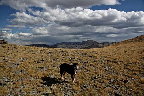
Hike 2.5 miles west, slightly southwest to a treeline at 11,900 feet. It appears that the canyon ends here with gentle slopes on both sides and up ahead 12,600 foot sub peaks of Organ Mountain. From here you have several options: Gerry Roach in his Colorado 13ers book is describing climbing west onto Organ's NE ridge, but even if you head straight ahead in the continuation of the canyon and ascent 12,600 sub peak, or head north on a gentler terrain you will end up finding a high plateau at about 13,000 feet. You get nice views from here of Stewart Peak, and Baldy Alto. The main summit of Organ is not seen, you just see several small "bumps" ahead.
Find the path of least resistance and follow those bumps in west, southwest direction. The hike is on grass and some small mostly stable rocky terrain. It is another 0.6 miles from the end of the high plateau to the main summit of Organ. There is a cairn on the summit with a summit register.
The views are amazing. Stewart Peak and Baldy Alto to the north/northwest. San Luis Peak to the west. Phoenix Peak and La Garita Peak to the southeast.
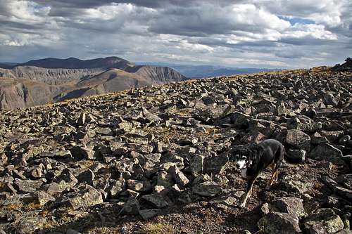 Duchess leaving summit | 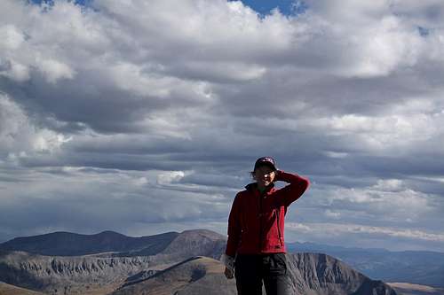 Summit of Organ Mountian |