

jacobsmith - Jul 7, 2013 7:18 pm - Hasn't voted
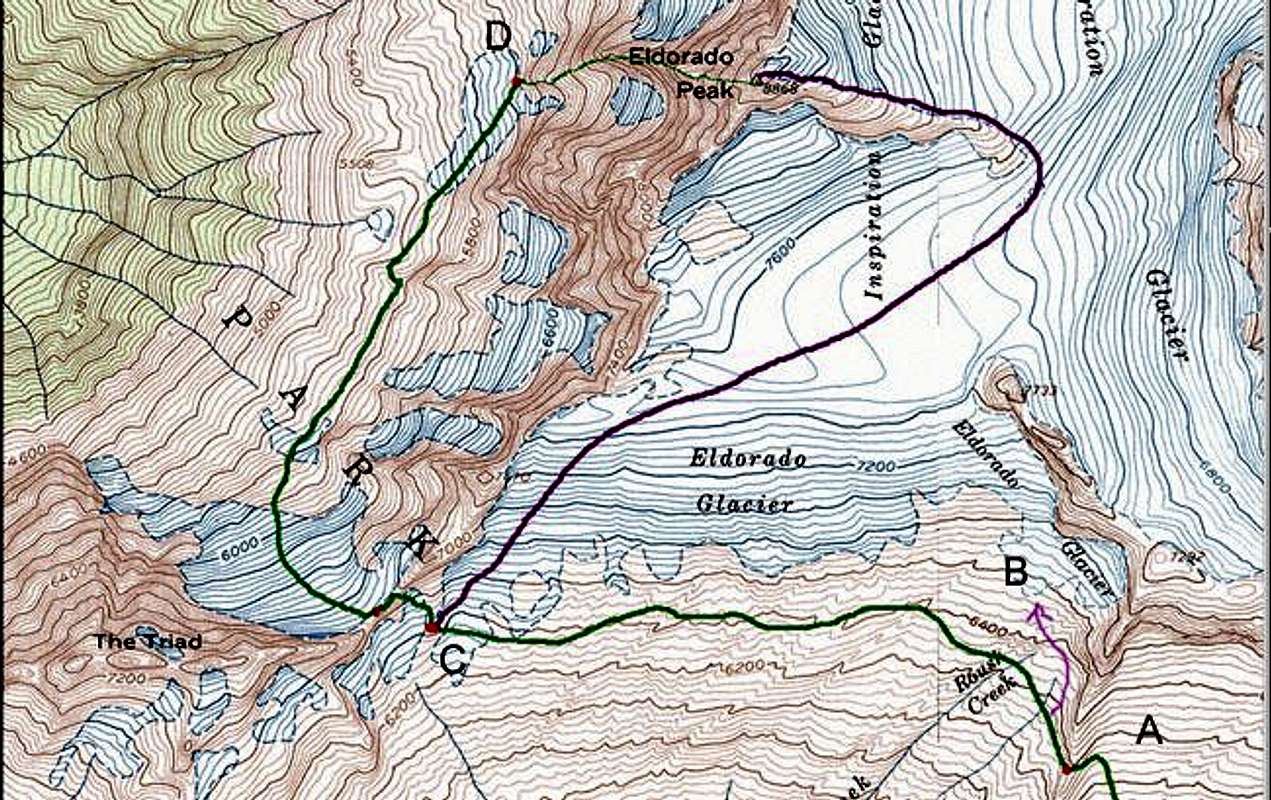
wrong route?having attempted to climb the West Arete as shown in this photo this weekend, i think the line has been drawn one ridge too far north.
what we were on was clearly the ridge indicated in this map, but the route description seemed to fit the ridge to our south much better...

Eric Sandbo - Jul 22, 2014 10:30 pm - Hasn't voted
Re: wrong route?You shook me up enough to go back to my photos from the weekend. We definitely climbed the ridge that I drew the line on, leading directly to the summit. One of my photos from climbing the toe of the buttress shows the other one in the background, to the south. My photos from higher show the expanse to the north toward Tepeh Towers with no other ridge in the way.
If we'd climbed the SW Buttress, we would have finished on a sharp ridge leading NE to the summit, with the flat Inspiration Glacier on our right and the Torment-Forbidden ridge beyond it. My photos back down the route would have shown The Triad behind us. Instead, my shots down at John look past him, deep into the Marble Creek cirque.
Sorry if my description is misleading or ambiguous, but we definitely climbed the West Arete, and it took us straight to the summit. We hiked under the toe of that SE Buttress on the approach, then traversed north, climbing a bit to reach the base of the W Arete.
jacobsmith - Jul 28, 2014 11:27 pm - Hasn't voted
Re: wrong route?If what you are saying is true then I don't understand what happened to us last summer. What we encountered was about as far from the first paragraph of your route description as it is possible to be, steep, loose, unprotected 5.9+. we kept looking for a traverse left around the some pinnacles but everything in that direction just seemed even worse. we ended up veering right to where the rock quality was better and then taking the opportunity to rappel down to the snow couloir.
I am planning on going back this summer to climb the route so I am finding this all rather worrisome. My laptop got stolen last fall and I lost a ton of photos but there are two posted at the very end of this page from that trip, http://ifiwereacrow.blogspot.com/2013/07/the-off-chance.html
In the second of the two we climbed the farther of the two buttresses, is that really the one you are referring to?


Comments
Post a Comment