


Comments
No comments posted yet.
|
|
Trip Report |
|---|---|
|
|
30.48707°N / 79.22129°E |
|
|
May 22, 2018 |
|
|
Hiking |
|
|
Summer |
Numerous expeditions to the Garhwal region have taken me to western Garhwal, which pretty much comprises me the region north and west of Dehradun – Uttarkashi, Gangotri and the peaks above, in that region. Some of the times when I visited this region was while I climbed Thelu, Bhagirathi – II, and recently – when I attempted Gangotri – III last year.
Area like Devprayag, Rudraprayag, Karnprayag, Joshimath, Auli and the entire range of valleys in this area was something we, as a family, had never seen before.
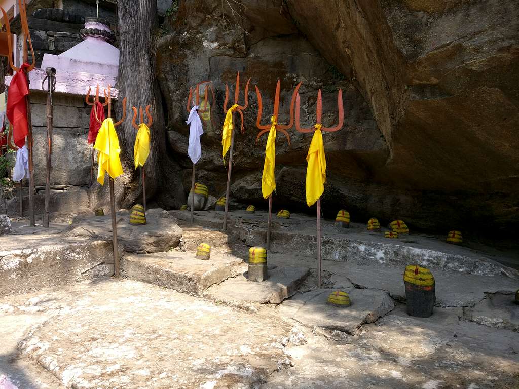
Among the many hiking trails, religious places of interest, Eastern Garhwal boasts of the great Nanda Devi National park, in which the majestic Nanda Devi stands tall! It is forbidden to climb Nanda Devi, however – the eastern peak can be attempted. Along with the ever-prominent Nanda Devi in this region, this is also very famous for the panch-kedar, which are the five revered places of worship for Lord Shiva – Tungnath (Highest Shiva temple), Kedarnath, Rudranath, Kalpeshwar and Madhmaheshwar. And, of course – there is Badrinath, the revered place of worship of Lord Vishnu.
The famous Char-Dham Yatra, which is believed that every Hindu should undertake at least once in his lifetime – to wash off all his sins, is also in Garhwal, and comprises of Gangotri, Yamunotri, Kedarnath and Badrinath. One of the toughest treks in the Garhwal – Kalindi Khal, is a trek that connects Gangotri to Badrinath, and what is called the second toughest trek in India – Auden’s Col, connects Gangotri to Kedarnath.
Hikers and tourists usually throng to places such as Chopta, Chandrashila and Deoria Tal, in search of immense beauty and serenity.
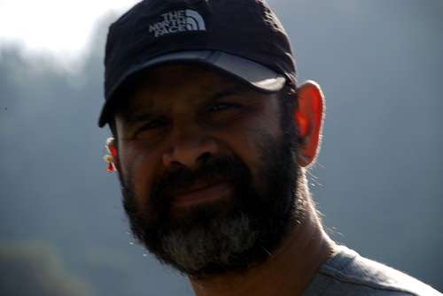
Our plan was to hike in the Eastern Garhwal region, but not by camping in between, but by taking stops at hotels and homestays. Our trip started with us flying out of our home base – Pune, to Delhi, where I had booked a cab to take us to Haridwar the same day. It was the last week of May, so heat was at its peak, and this – coupled with the early morning travel from Pune didn’t suit well for Yuvaan. A break at a restaurant led to all of us having a full lunch of Paneer and Roti (hot bread from a clay oven). Yuvaan probably had a lot, which led to him being a bit nauseated while traveling to Haridwar. After vomiting out everything, he was just fine. He usually is quite OK in the mountains, but here the mountains had not even started. Manasi also – for some reason, had a headache, so she popped a pill, and went off to sleep.
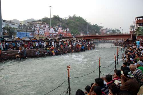
I had reserved the evening in Haridwar to watch the Ganga Aarti, which was when the priests offer prayer to the mother Ganges, which flows from the higher Himalaya (Devprayag, which is the confluence of Alaknanda and Bhagirathi), all the way to the plains.
The flow of the river is quite fast, and it’s considered risky to take a dip in it. However, many devotees don’t pay heed to this warning, and holding on to the rails and chains provided, take a dip in the river.
Our entire enthusiasm to watch the Ganga Aarti went down the drain, when we had to scuttle together, and sit on the banks of the river, and when we realized that we are just a part of a few thousand people who had gathered for the same.
Further, in the name of the Aarti, there were people (looked like guards) asking for donations, which people were happily giving! It was crazy to see the blind faith with which the devotees were giving away the money, as there was no sure way to know whether it will go to the benefit of the temple or not! Disgusted with the whole thing, we got up and left.
Later, I learnt that the Aarti which is supposed to be witnessed, is the one that takes place at Rishikesh, around 22 km upstream of Haridwar, where people are less, and the ritual is much better managed.
Our stop for dinner was the fanous “Mathura waale ki Pracheen Dukaan”, which literally means – An Ancient shop of people from Mathura, which happens to be a city in the state of Uttar Pradesh, and the birthplace of Lord Krishna. I had looked it up as THE place to eat the famous “poori-bhaaji”, which should be gulped down by a massive glass of Lassi, and some famous sweets from the shop. Manasi was a bit hesitant, looking at the look of the shop, which we had to find by going through back alleys of the old city. But, once she tasted the food, there was no stopping her, as a matter of fact – any of us. The Aarti was a bummer, but the food more than compensated for it, so we ate to our heart’s content, and took a ride back to the hotel, to prepare ourselves for the next day’s journey, which was going to be a really long one!
The short trek to Deoria Tal is what most of the beginners start with – when they indulge themselves in their first Himalayan hike. It is a small lake nestled in a high valley, which can be accessed by a village called Sari. The trek is relatively moderate, and offers excellent views of the snow-clad Choukhmba peak right in front of it.
We left Haridwar after breakfast, just to realize that it was a weekend, and the road was so jam packed with traffic that it took a few people 4 hours, just to drive 22 km to Rishikesh! The traffic was moving at a snail’s pace, and that’s when our driver thought of taking a detour – a little longer though, but which takes us further than Rishikesh. This road was through the famous Rajaji National Park, which is a huge national park in the state of Uttarakhand, where the entry and exit gates on both the ends close at 6 pm, as people have known to come across wild animals who have attacked.
We went past Rishikesh, and the drive just went on and on! It seemed like a never-ending drive, full of twists and turns (as it is typically in the Himalaya), but with lots of dust and smoke, as the project to connect all the Char-Dham was undertaken by the government, for which the road work was going on. A sharp and clear turn at Bhiri and we started gaining altitude, leaving all the traffic, smoke, dust and grime way below.
The air got cooler, and we felt like we are climbing at a very fast pace. This was the road that led to Sari village, where we had our homestay booked for the night. At one point on the road, it was necessary to take a U-turn towards the village, otherwise we would’ve descended into another valley. I was checking the route on the map, and made sure that we were on the right track.
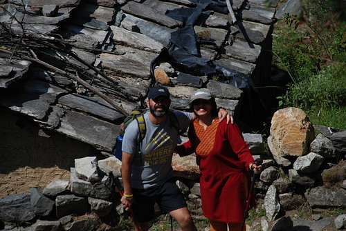
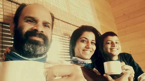
In Sari village, there is a paved trail, with clear directions leading towards Deoria Tal. The problem was – we had our homestay booked on the trail, which was about 500 m higher than where we left our car in the village. Now, the problem was – how to take the luggage half a km higher? I called the phone number saved, and found that the homestay was being managed by a group of people from Bangalore, way down in the state of Karnataka! She requested one of the boys working at the homestay to come down and help us with the luggage. Manasi and Yuvaan carried themselves, while I and the boy carried the luggage.
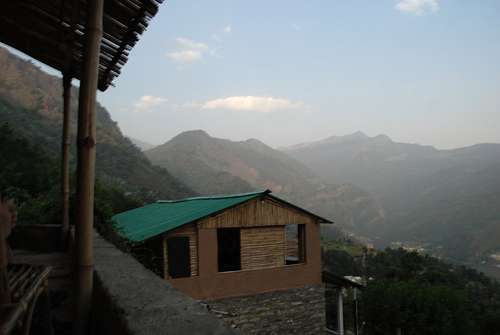
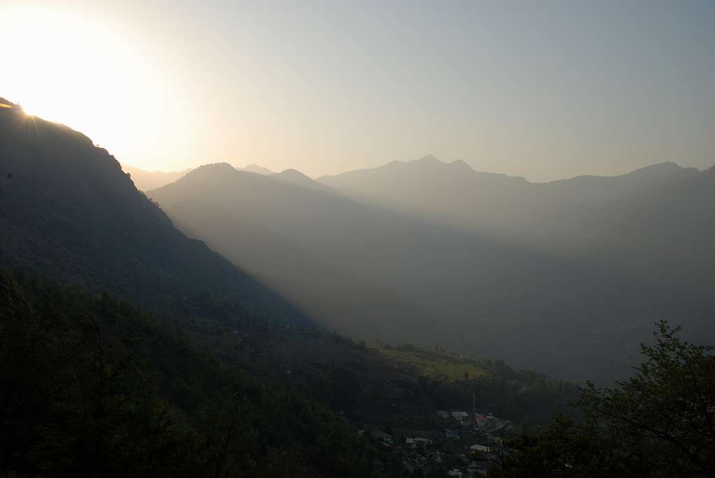
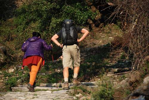
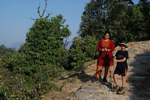
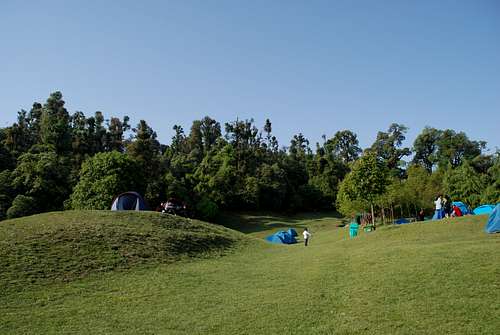
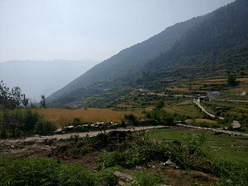
The paved trail was a beautiful but steep one, which led us straight to the homestay. The place was neatly done up, in a sustainable manner, which had a good amount of use of wood and mud for the construction. The electricity had conked off since the afternoon, so we sat in the verandah of the room allotted to us, sipping in hot tea, and soaking in the sun setting in front of us. One could see Chopta from here, and tiny specks of white dots were actual camping sites which had developed on the rolling green meadows of Chopta, where people usually stay, before they hike up to Tungnath and further to Chandrashila peak. There was a family hiking up the trail, about whom I was concerned, as it was going to get dark soon. The lady in the family had a hard time going up, as she was carrying a backpack, which seemed quite heavy for a trek like Deoria Tal.
All the hikers, herdsmen with their horses, and porters – all walked from in front of our front yard, where we sat, sipped tea with biscuits, and looked at the last rays of sun engulfing the green meadows of Chopta in front of us.
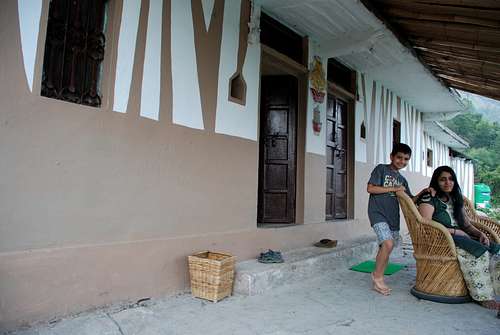
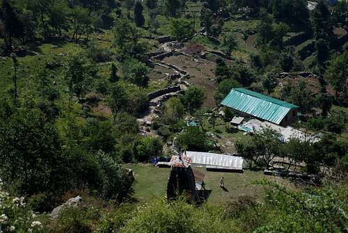
Once we got done with our tea, we waited for electricity to come, but it didn’t come. We just sat there, clicked a few pictures, and chatted up with the two boys who were managing the homestay. They told us that the land belonged to a retired soldier from the Indian Army, who was a native of the village.
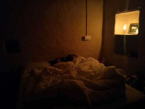
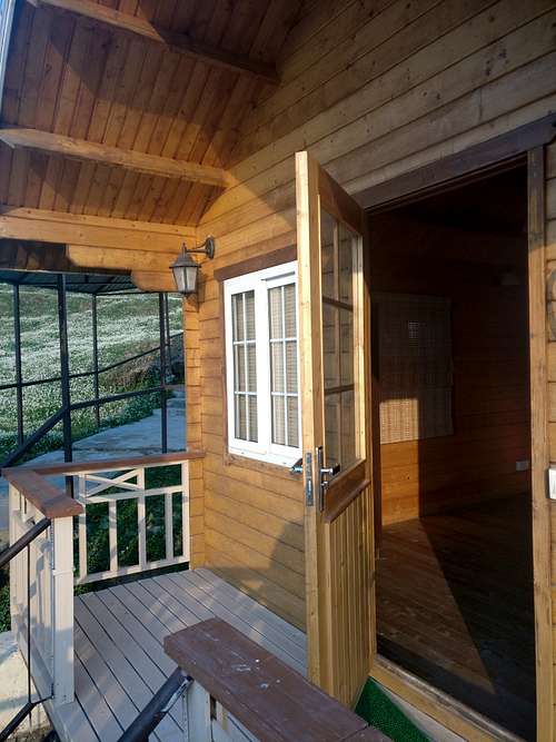
He had retired from service, and had come back to his village, where he had built a temple on part of his land. On the remaining land, the partners from Bangalore had negotiated with him, to lease it out to them, so that they can run it. Café Buransh was a nice place nestled on the slopes of the mountain of Sari village. It was amazing to learn that people all the way from Bangalore are managing this homestay, which was kept in an impeccable condition by the staff that worked there. The boys were friendly, and they served us with hot rotis to go with the vegetables and raita for dinner that night. Dinner was served in a cozy dim-lit area near the kitchen, which had large windows, for people to see flickering lights of all the hamlets that made up small villages which were patched at places, making their mark within the large sea of black. With our stomachs, hearts and souls full of the beauty around us, we tucked ourselves in the warmth of the bed in our room. The candle provided enough light and glow for giving us that extra special feeling in the rustic cottage.
We had planned on getting up to Deoria Tal in the morning, so that we could come back, pack our stuff, and head to Chopta for the night. Chopta was fairly close-by, so we weren’t worried about reaching there. Just wanted to reach there before sunset.
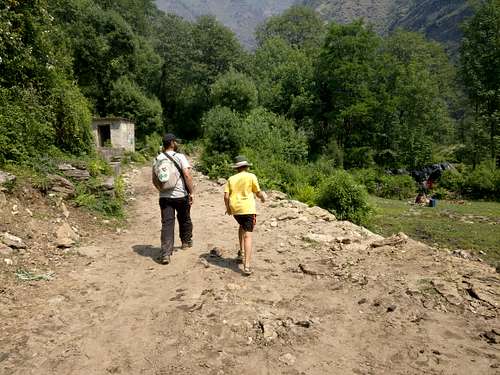
After breakfast, we started hiking towards Deoria Tal. The cobbled trail continued for some time, then it have way to a regular trail. We met a German Psychiatrist on the way, who was all by himself, hiking up to the lake. He told us that he works only 6 months a year, and rest 6 months, he travels, hikes etc. around the world! He was a fairly senior fellow, who told us about how psychological problems were growing exponentially in Germany, and moreover globally. He told us that because of these problems, he makes enough money in 6 months, to be able to sustain for an entire year. His wife was going to join him in a few days’ time, and if I remember correctly, he was going to go to Nepal. This was a great guy, who had learnt how to drive in India, held an Indian driver’s licence, and had rented a Mahindra Scorpio, which he drove everywhere in India. It was commendable that a foreign national would think of doing such a thing in India, especially when driving is very different and disciplined in their nations.
We reached Deoria Tal, to see a big group of people there. The last patch had a few dhabas, where one could sleep for a night. They would provide you with blankets and stuff, and would also feed you with regular food that they eat. At the lake banks, there was a huge group of trekkers from Indiahikes, whom we would also meet on Chandrashila peak, a few days later. The group was a diverse set of people, with a leader who apparently had a couple of Himalayan treks under his belt. They had come the previous night, camped, and were on their way to Chopta from there.
That was when I got to know that there is a trek route to Chopta as well. It was about 12 km, and it took some time to reach. However, it was through a dense forest, so it must’ve been a pretty trail. Among the commercial group, I even met a person who regularly comes to the tekdi to run / walk. Tekdi is a small hillock near my home, where I train for my Himalayan forays. We both recognized each other, and exchanged greetings.
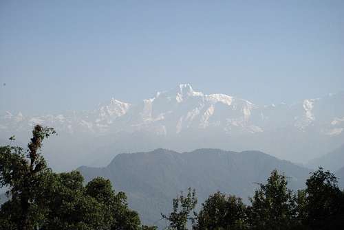
The lake itself was not too big, but was quite clean. It had a trail wrapped around half its part, and had dense trees lined up around it. On clear days, usually in winters, one is able to capture a reflection of Mt. Choukhamba in the lake waters. But, this being May, there was hardly any clarity in the sky. Still, we could see the MASSIVE Mt. Choukhamba, which has four peaks, stand tall in front of us. The haze didn’t allow us to get a clear view, but the enormity of the peak was just too much to ignore, while standing there. The gentleman from Germany exchanged contacts and greetings and left, as he was hiking to Chopta, just like the group which was headed there.
We spent around an hour there, took a few pictures, before heading back to Sari.
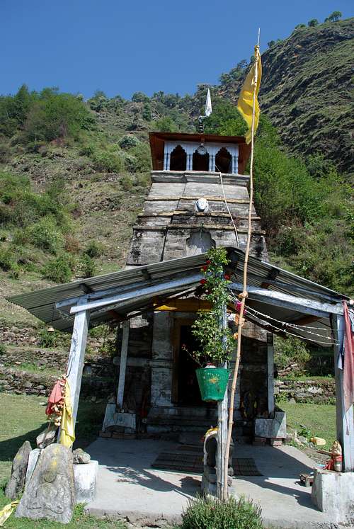
There were sitouts on the trail, where we rested on the way down, as we weren’t exactly in a hurry. Yuvaan took my camera and took all the pictures he could, of the mountains, valleys, villages, us both and our homestay. On the way to the homestay, we crossed the temple built by the retired soldier, exchanged greetings with him, paid homage to the deity inside the temple and proceeded towards Café Buransh. Once we were all packed up, we were ready to leave Sari; we hiked down the trail to the car, which was parked there. The driver was aware that we didn’t have to go far, so he took it easy. Instead of going through the normal designated route, he took a route which was taken by forest officials, through the jungles, at a higher altitude.
It was a pretty road, which wound through the trees, giving us views of nearby snow-clad mountains, small villages, sometimes crossing over a small rivulet, sometimes driving past a field.
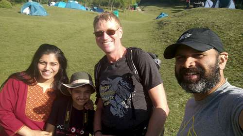
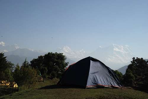
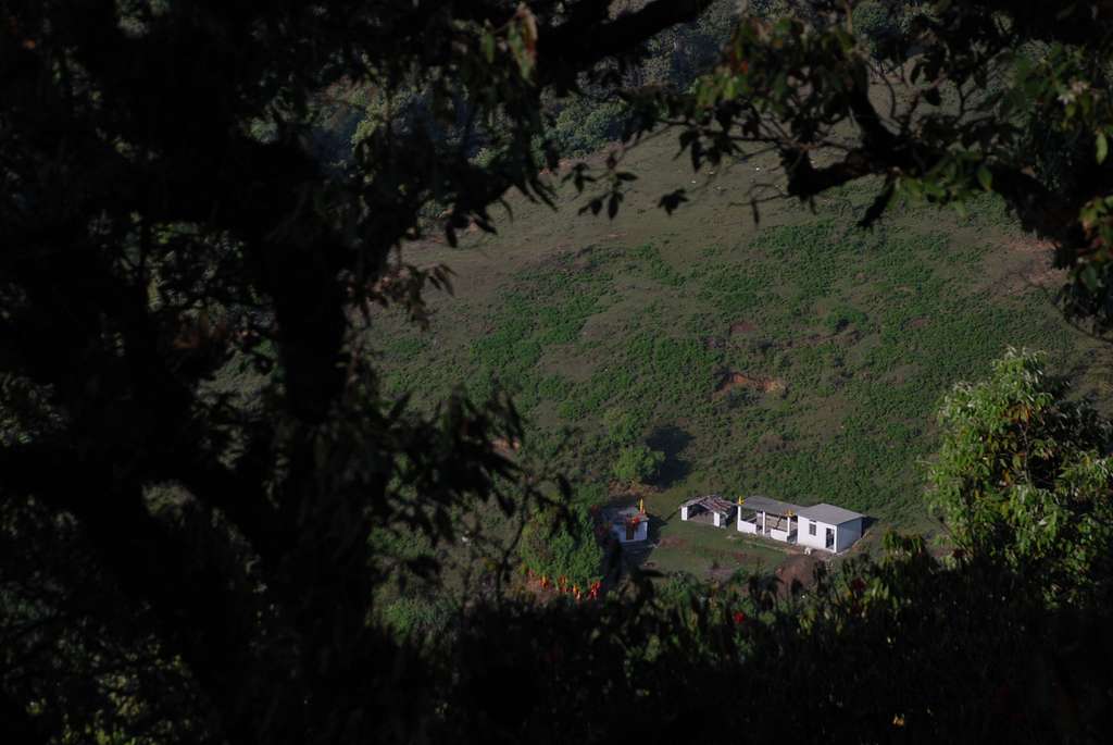
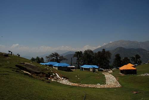
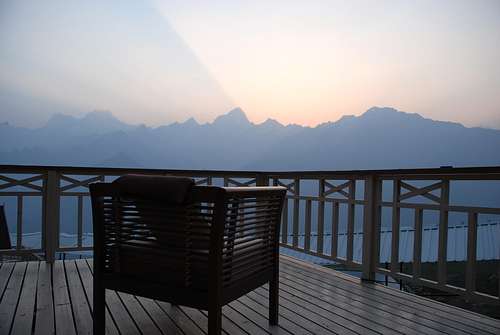
After about an hour’s drive, we started seeing green Rolling Meadows everywhere, which had multiple camps pitched on them. Some were private, some were commercial. We had signed up on spending two nights at a commercial camp, where we reached soon. We were greeted by the owner of the camp, who told us that we could spend a night at a tent up front, as all the tents at the rear (which had a better view) were occupied. Still, the tent which was allotted to us, gave us spectacular views of the peaks in front of us. The snow-clad peaks rose magnanimously from the earth, thrusting up into the sky. It was indeed a sight to behold. The accommodation was good, and we decided to take some rest, as we were headed to the highest Shiva temple the next day – Tungnath!
The trek to Tungnath starts from a point which is about 3-4 km from where we stayed the night.
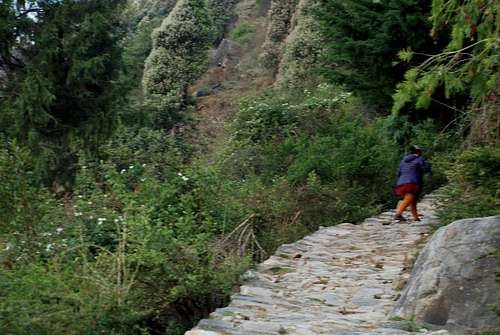
The trail is paved at places, and a normal trail at places. Being a place of religious importance in the Hindu religion, people throng to this place. And like at many other religious shrines, there are ponies available to take them up to Tungnath and back. In the evening on the previous day, I had gone to fix up with a pony owner, regarding going up early in the morning at around 3 am! The camp guy assured to give us hot tea in the morning, before we left, to warm us up a little.
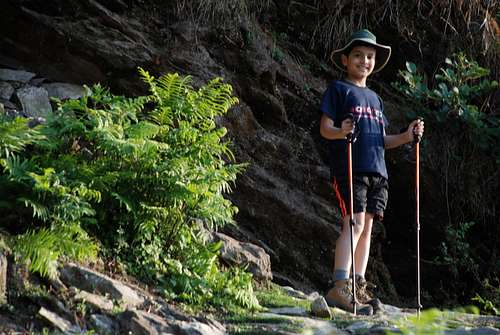
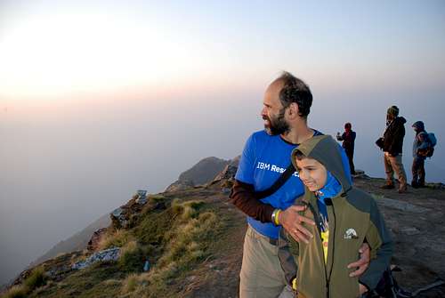
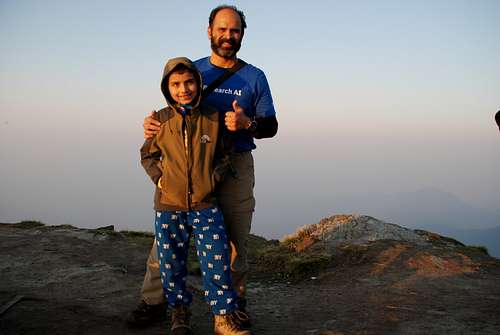
I and Yuvaan were quite adamant on catching the sunrise from Chandrashila peak, which is another 1 km further from Tungnath, and involves a climb of almost 1000 ft. In order to catch the sunrise at 5.30 am, we had to begin early. Earlier Yuvaan wanted to come up trekking, but we decided against it, as with his speed, we wouldn’t have been able to catch the sunrise. Manasi had decided to take the pony right from the beginning. I hiked up with both of them on ponies, at the ponie’s pace.
Due to the cold, it was tough in the beginning, however I could catch up with them once I warmed up. They took a small tea break on the trail, which was not in the plan. I was afraid that we may miss the sunrise. But, one of the pony owners assured us that we won’t miss it.
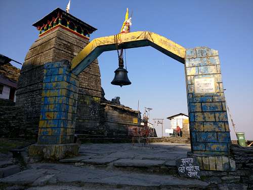
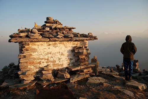
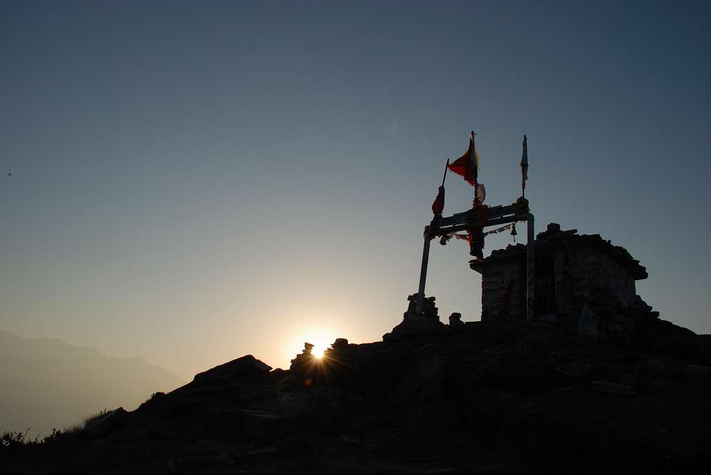
We reached Tungnath in the dark, but the sky had started to brighten up a little.
As soon as Manasi alighted off from the pony, I and Yuvaan set off! The pony guy also wanted us to see the sunrise, as that was the sole reason we had gotten up so early to climb up to Tungnath. We couldn’t run up, but we brisk walked all the way up. I held Yuvaan’s hand towards the end, where I had to kind of push him a little bit. I could see that he was tired, but he didn’t mind. Finally, we reached Chandrashila temple just before sunrise. One stupid thing I did was – tried to capture the time lapse of the sun coming up. In this, I wasted about 10 minutes, only to realize later that there was something wrong with this mode on my phone, and it didn’t get recorded.
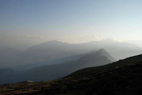
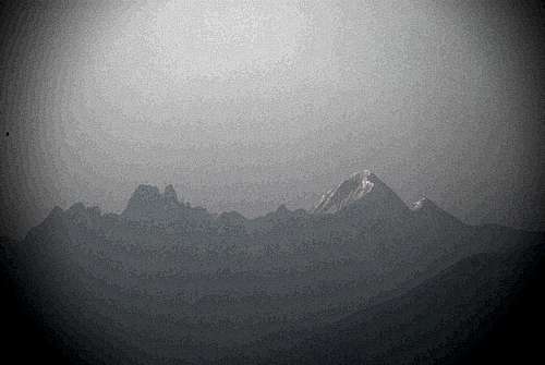
The sunrise was spectacular, however we didn’t see a whole lot of peaks due to the haze in the sky. It was surprising to see that much haze, that too – so early in the morning. We interacted with the same group that we had met at Deoria Tal. A few among them were surprised to see such a young fellow (Yuvaan), having climbed all the way up to the peak, and that too – so early in the morning. Usually, one gets a clear awesome view of Nanda Devi from this altitude.
But, the haze literally killed our view of the mountains that day. We clicked a few pictures on the top, and besides the temple, and started our descent. Yuvaan practically was running down, even after I stopped him from doing it. The horseman assured me that he will take Yuvaan with him and descend safely.
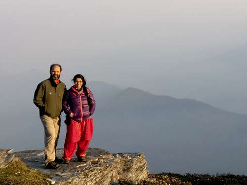
As I was going down, I saw Manasi coming up. She wanted to go to Chandrashila Peak, but it would’ve taken her another half an hour to go up, and then return back. With Yuvaan having descended, I advised her against going up. But, it was commendable that she even thought of climbing up to this altitude. We clicked a few pictures, and safely descended to Tungnath temple.
We sought blessings at the temple, to return back to our camp for that day. The return journey was a little bumpy for both of them, as the ponies were practically running downhill on the paved trails. Manasi was ultra-scared, and Yuvaan enjoyed the ride. It had been a long day, so we just relaxed in the front yard of the tent, and soaked in the sun. The view from in front of us had gone away, and we had a surprise visitor while we were playing Badminton. A lady arrived with her mother, and was cursing all the while – as to what a pathetic accommodation this was, and how could her travel agent book such a place for her! She demanded a good, luxurious hotel, but there was none to be found nearby. Badminton, mountain biking and relaxing was the order of the day, before we hit the bed.
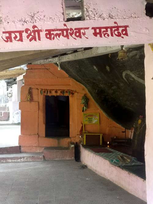
The route to Kalpeshwar is a detour from the main road to Badrinath. Around 42 odd km before the famous shrine, a detour, which otherwise nobody would notice, takes you to a point from where one has to trek to Kalpeshwar Mahadev, one of the revered Panch-Kedar in this region.
After two beautiful nights in Chopta, I wanted us to stay over at a place close enough for us to trek to Kalpeshwar, but at the same time – wanted the place to be comfortable. I searched quite a bit, to zero in on a hotel, which was almost on the corner of the detour that one takes to go to Kalpeshwar.
We reached the hotel around 4, after a lunch on the way. From the window of the dining area of the hotel, one could see the village road going towards the last village, from where one has to trek. We ordered in, for dinner, and slept early after watching an old movie called Karma, which I had fond memories of. Yuvaan was intrigued by the way in which I remembered the story, and the colourful character in the movie – Dr. Dang!
Next day morning, we didn’t have to get up too early.
We got ready, had our breakfast, and were ready to leave, when the hotel owner asked us if we want our lunch packed. We refused, as we had had a heavy breakfast, and were confident that we would return before lunch time.
The car took us to the last village, from where the trail starts. The road to Kalpeshwar is being built, and the work is going on. But, the village road we took was very pretty. We gained altitude quickly, and trails which the villagers use, were visible everywhere. It was great to see a home perched on the cliff right above you, and within the next few minutes, you were at the house’s level.
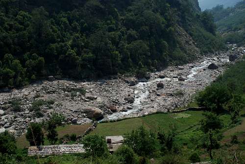
You could see fields being plowed, fields being harvested and children playing in fields. Sunshine was ample enough to heat up the mild chilliness in the air, and while we were witnessing all of this, the car halted to a stop. The car doesn’t go further, and one has to trek. We got down, and started trekking. It was more than a trail, with fields everywhere. The river which originates from Kalpeshwar – Kalpganga, was meandering through the fields, before it gushes down the cliffs where the altitude changes drastically.
We crossed the river over a small makeshift bridge which was constructed by the workers working towards constructing a permanent bridge to go to the temple.
Spent about half an hour at the temple, and started the trek back to the car.
It was just a few kilometres, when we reached the car. In fact, in that weather, it was a pleasant walk, with no load on our backs. More like wandering in the backcountry. The car took us back to the hotel, where we had our lunch, picked up our bags, and left for our next destination, Auli!
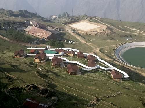
Apart from Gulmarg in Kashmir, Auli is considered one of the best ski resorts of India, where many people head to, in winters – to enjoy the snow and skiing. It boasts of a good ski lift, and slopes that vary from gradual to the steep ones.
To reach Auli, one has to take a gondola. One can’t go to the GMVN (Garhwal Mandal Vikas Nigam – Govt.) accommodation with one’s own car. In a way, it was fortunate that we left from Kalpeshwar in time, as the last Gondola that goes up is at around 5.30 pm, and if one comes after that – one can’t go up – even if one has a booking with them. It’s a kind of stupid thing, as it doesn’t cater to people who are coming in from far, and reaching much after the last gondola leaves.
The driver told us to take the gondola while he stayed down with other drivers, for whom the government has made arrangements.
The gondola has two or three stops on the way up. One is where the normal tourists get down, to roam around in the area where an artificial lake has been created. Second stop is where one gets down to have a look at the majestic Nanda Devi and other peaks visible from there. And, the third is where the gondola takes you, but only when the ski season is on.
A trail above the third stop is the starting point for famous treks. This point is also called the Gorson Bugyal (meadow), and the Kuari pass trek is further from here. Kuari pass is a very famous trek, on which one gets to see majestic peaks like Nanda Devi, Kamet, Dronagiri, Haathi Parvat, Trishul, Chaukhamba etc.
Further from Kuari pass, is one of the summits of a peak called Pangarchula, which is a good start for a person starting out with climbing, and aspiring to go on higher summits later on. In summers, there are big commercial groups that do this route quite regularly.
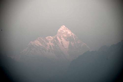
We got off at the second stop, and were lucky enough to witness sun setting on the majestic Nanda Devi, right in front of us.
The pinkish tinge that the setting sun gave the peak a very surreal feel. We tried spotting Kamet, but couldn’t as there was a lot of haze everywhere. I planned on spotting it by getting up early in the morning the next day.
Due to peak season, we didn’t get the booking for two nights.
And, hence – we had to move out the next day, to spend another night in another hotel. So, we went in, and checked in into our room. It was a great room, very cozy indeed with the floor and walls panelled with wood. The bathroom was done up with all the latest gizmos, but we later found out that there was a small leak somewhere, from where water came out, and puddled up at the entrance. his was more than made up for, by the large patio that they had provided to each room, from where one could see all the peaks right in front of them. We crashed in, on the bed, and tucked ourselves into the comforter they had provided. Hungry growling stomachs were asking for something, and we had to gulp down a couple of plates of toast butter, and tea. Post our snack, we played a few games while in bed, had our dinner, and went to bed.
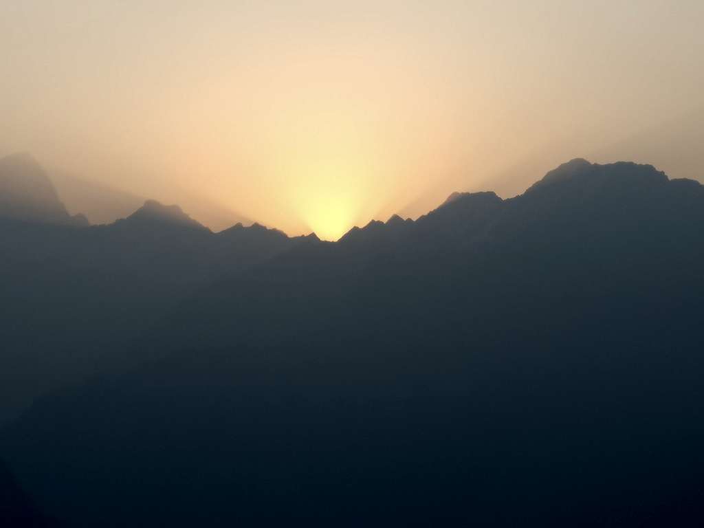
The following morning was magical. I made it a point to get up before sunrise, to witness the sun rising from behind the haathi parvat. Before the sun rose, I got a chance to glimpse at the huge Mt. Kamet, lurking behind the cover of haze. It showed itself for a few minutes, and then it disappeared! But in those few minutes, one could sense the hugeness of the mountain. I had heard multiple stories of failed expeditions on Kamet, and of people having lost lives. The sunrise behind the mountains was magical, and it was awesome to see the darkness recede slowly, as the sunlight bathed everything in its way.
A short stay at the next hotel was followed by a really long drive back to Haridwar, but we wer greeted by an equally good hotel, which was quite luxurious, to say the least. We took turns taking a hot shower for the longest durations, followed by an exquisitely laid out buffet at the hotel. The trek – trip combination ended on a great note, with us witnessing the beauty of Eastern Garhwal for the very first time!