
-
 17246 Hits
-
 83.69% Score
-
 17 Votes
|
|
Route |
|---|---|
|
|
42.64024°N / 0.04888°W |
|
|
Hiking |
|
|
Summer, Fall |
|
|
Half a day |
|
|
Medium hard hike |
|
|
Rating the Route (By Hiking Standards)


The grading system for hiking and scrambling routes is here.
0. General: From 1320 m to 1960 m, exposition N. If you have only a day and you don't want just to walk through Ordesa valley up and down, but also don't intend to do something more serious, this 7-8 hours hike is just for you. It is everywhere rated as one of the 10 most beautiful hikes of the region. This is a round tour, where you go from the valley high up the slopes, then cross the slopes all the way along the valley and finally reach the valley end in a slight descent. Then you return by the valley down. Gear: Good hiking shoes and poles.
1. Effort: cca 700 m, 6-7h net walk.
2. Power: 1 - Only walk up.
3. Psyche: 2 - Easy.
4. Orientation: 1 - No difficulties.
Overview and How To Get There
The famous Ordesa valley is a part of the Parque Nacional de Ordesa y Monte Perdido, which was in its first version established in August 16th, 1918 and today has a surface area of 15.608 hectars. Except by mountain paths the valley can be best reached from Torla town by parc busses (from June to September, out of this period you can drive in the valley). The bus brings you to the parking place Pradera in the lower-middle part of the valley, where also the information center operates.
Show a bigger map
Route Description
Near the information centre, 1320 m, you will find the signpost, which directs you on "Sendero de los Cazadores". You go southwards, across the river and on the next crossroads in the same direction - towards the steep valley slopes on the south. Now the path starts ascending steeply through a nice forrest. Don't matter much if the signpost at the beginning warns you that the path is dangerous. As said, it requires some endurance, is not appropriate for people with vertigo, but otherwise very comfortable and without any real danger. On the altitude of 1875 m the path forks and you go left, still up the slope. The more and more panoramic path brings you in several switchbacks finally on the excellent lookout spot - Calcilarruego, 1950 m (also a simple shelter there). Till here some 1 h 30 min.
 Tobacor |
 Gallinero |
 Calcilarruego lookout point |
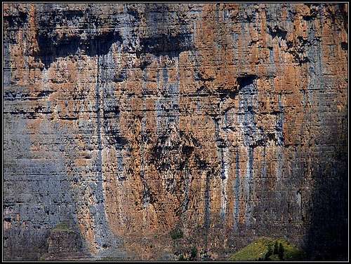
From Calcilarruego balcony the path starts crossing the slope along Ordesa valley, so in the E direction. This is Faja de Pelay, the panoramic path, which goes most of the time in the middle of the slopes of Sierra de las Cutas and finally descends in Circo de Soaso. From this path you have no option to descend in the valley, so make sure that you have enough time to do the hike. You walk by a terrace, the more you are approaching the end of Ordesa valley, the more the terrain gets open, even if you are losing some heigth. From the path, the most stunning is the view on the mountains on the opposite side of the valley, Tobacor and Gallinero being in the first plane. As you walk, you will in a clear day see most of the 3000-ers of the area. A few minutes after the mirador (lookout point) also the view on the famous Brecha de Rolando opens and soon also the view on Monte Perdido, the highest mountain of the area.
 On Faja de Pelay |
 Brecha de Rolando |
 Ordesa valley |
Approaching the end of the valley the path once more gains some altitude (but not more than 50 meters), after which it only goes down into the valley end, named Circo de Soaso. Below the path we beautifully see the Arazas river, its nice waterfalls and ponds. At the end of the valley Cola de Caballo waterfall is also seen.
 Approaching Circo de Soaso |
 Rio Arazas ponds |
 Circo de Soaso |
Approaching the Caballo waterfall you pass two crossroads, where paths from Ordesa valley go up towards the Goriz hut. The first path is easier, while the second one climbs over a more demanding (but secured) rocky passage. After crossing the bridge you aproach the beautiful Caballo waterfal, which can be considered as the end goal of our hike. Now only the return awaits us.
 Cola de Caballo |
 Cola de Caballo |
 Ordesa hikers |
On the return you best go down the valley, using a broad path which mostly keeps by the river. There are a few beautiful waterfalls and cascades on it and among them several nice ponds. Near the Estrecho waterfall, 1540 m, more than half way down, you have an option to cross the river by a bridge and continue the hike on the southern side. In any case all paths lead you down to Pradera parking place.
 Rio Arazas waterfalls |
 Ordesa cascades |
Ordesa valley |