|
|
Mountain/Rock |
|---|---|
|
|
35.41906°N / 117.85048°W |
|
|
Download GPX » View Route on Map |
|
|
Mountaineering |
|
|
Winter |
|
|
4784 ft / 1458 m |
|
|
Overview
Rank: Garlock Benchmark is California's 4645th highest ranked peak
Prominence: 804 ft
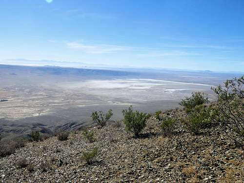
Garlock Benchmark rises in the El Paso Mountains in the northern parts of California’s Mojave Desert near the ghost town of Garlock. The southern slopes of Garlock Benchmark drop 2800 vertical feet into Fremont Valley and Koehn Dry Lake. To the east, Mesquite Canyon separates Garlock Benchmark from Peak 5121 ft.
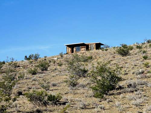
A network of Jeep Roads and abandoned old mining roads crisscross the mountains and canyons of the area. It is in fact possible to drive all the way to the summit of Garlock Benchmark. I tried to stay away from the roads finding my own way up the southeastern slopes of the mountain. At an elevation of 4550 ft, I reached an abandoned cabin known as Walsh Cabin. I did not see any vehicles on this mountain but motorcycles and ATVs could be seen driving on Mesquite Canyon Road.
Getting There
Here are directions to the start of Mesquite Canyon Jeep Road (marked as EP100 Road) where I started my hike:
From the intersection of Route 14 and Redrock Randsburgh Road just south of California’s Red Rock Canyon State Park, drive 11 miles northeast on Redrock Randsburg Road and look for Mesquite Canyon Jeep Road on the left.
Route
Starting Point Elevation: 2100 ft
Summit Elevation: 4784 ft
Roundtrip Hiking Distance: 6.9 miles
I started at the beginning of Mesquite Canyon Road. Left the road and started going up the southeastern slopes of Garlock Benchmark following a path that I had entered into my GPS by looking at Google Earth and satellite photos. I did not encounter any technical difficulties. At an elevation of 3800 ft I reached a faint abandoned road that seemed to go directly up the slopes. Followed that road past Walsh Cabin to the summit.
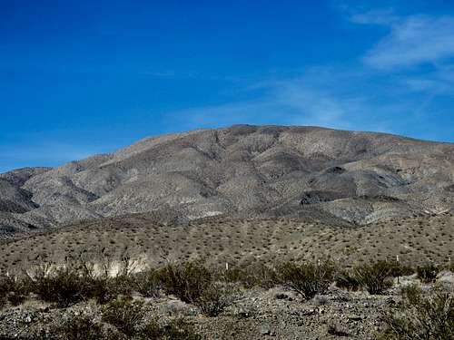
Garlock Benchmark from the starting point.
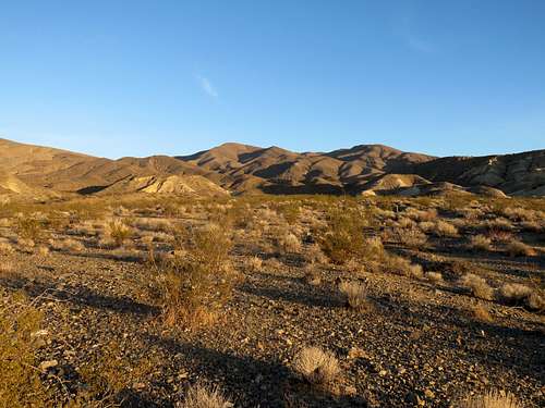
Point 5121 ft from near the starting point.
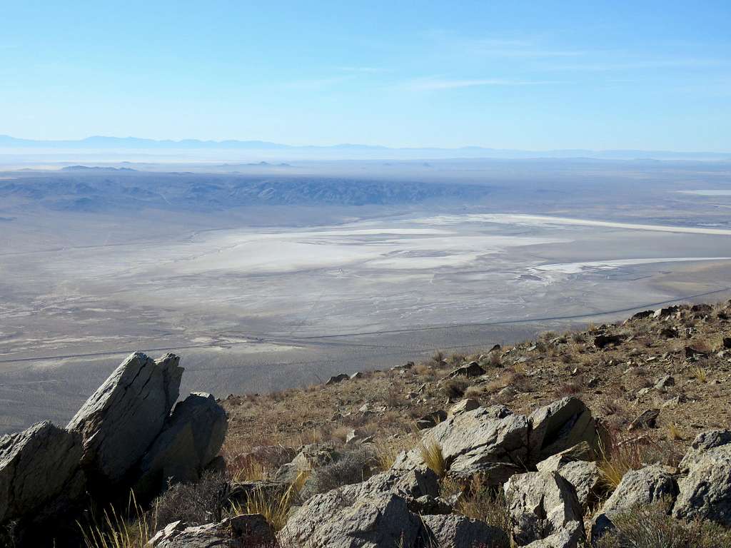
Freemont Valley, Koehn Dry Lake and Red Mountain from the slopes of Garlock Benchmark.
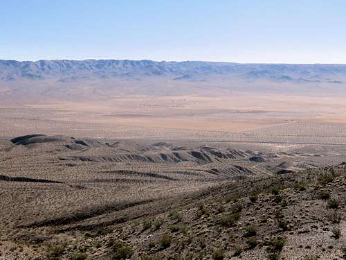
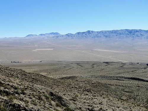
Walsh Cabin.
Inside Walsh Cabin.
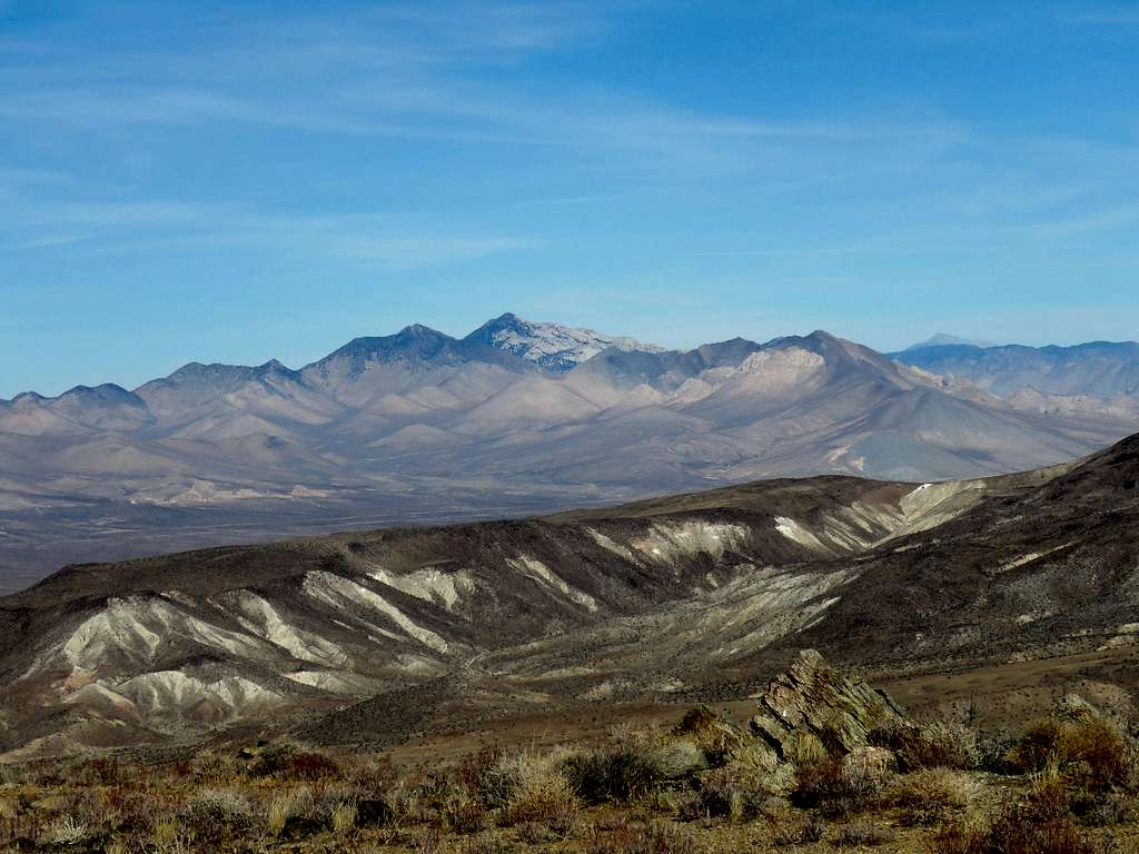
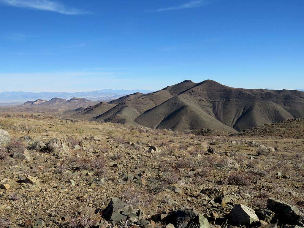
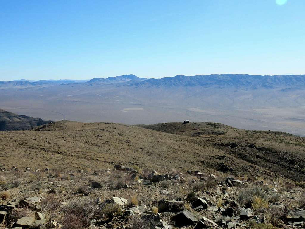
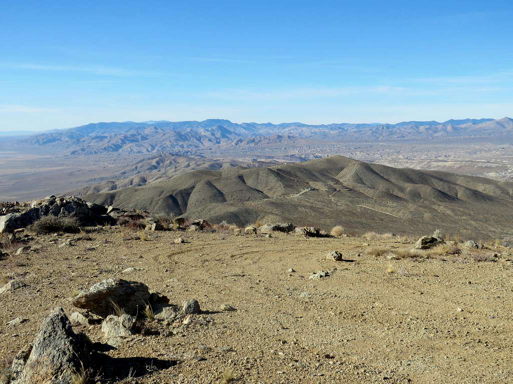
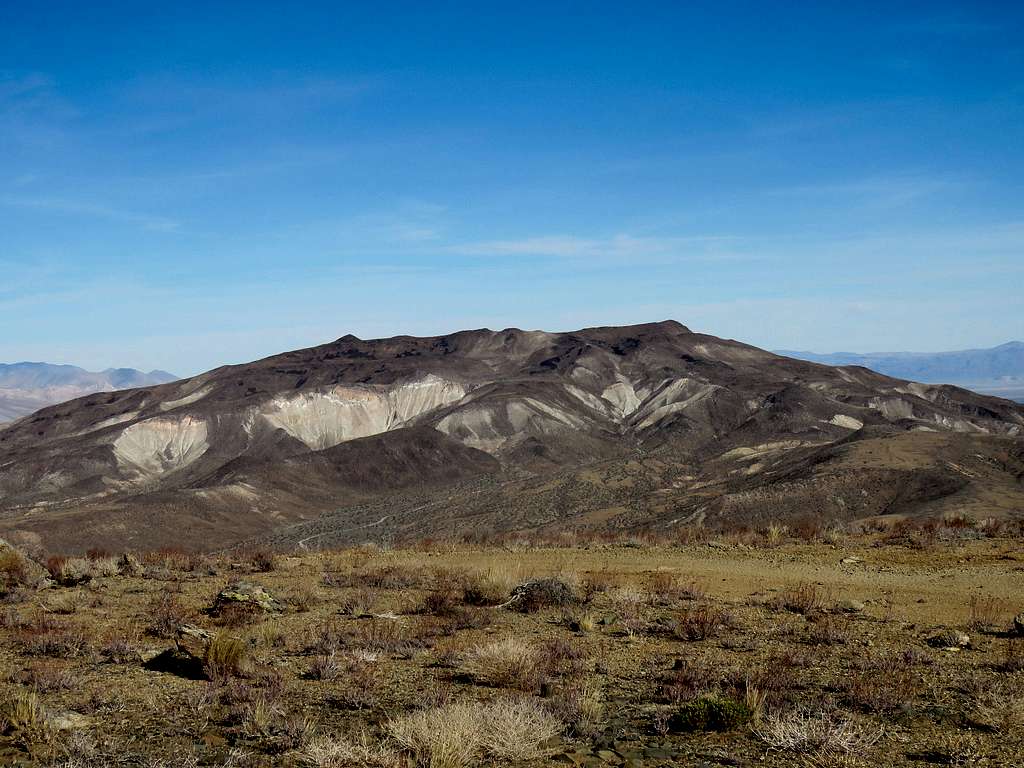
Views from the summit of Garlock Benchmark:
Red Tape
No fees or permits needed.
When to Climb
Winter is the best time to climb. Summer can get dangerously hot.


