|
|
Custom Object |
|---|---|
|
|
33.71806°S / 150.30602°E |
|
|
Code / test stuff |
What this is
This is just somewhere to put bits of code I use a lot, have used or would want to use, including page building text and images. It is not supposed to be of any interest to anyone but feel free to look at the page source code to see how the things were created. Most of this stuff I learnt from other clever SP members. e.g. there's a whole article on tables here and lots on picture arrangement here, plus a forum section , some stuff in the FAQs and via Resource Central. It's worth noting that pages look different in different browsers so it's good to check things look as you expect them to.HTML
= anchor/link= bold
= break
= no overrunning into sections below
border=1/0 = on/off
=
= heading
=
= horizontal line
= italic
= list
=
= horizontal line
= italic
= paragraph = make text small
= start table target="_blank" = after link opens target in new window display text = table row (new row)| = table header (bold, centred) | ||||||||||||||||||||||||||||||||||||||||||||||||||||||||||||||||||||||||||||||||||||||||||||||||||||||||||||||||||||||||||||||||||||||||||||
|---|---|---|---|---|---|---|---|---|---|---|---|---|---|---|---|---|---|---|---|---|---|---|---|---|---|---|---|---|---|---|---|---|---|---|---|---|---|---|---|---|---|---|---|---|---|---|---|---|---|---|---|---|---|---|---|---|---|---|---|---|---|---|---|---|---|---|---|---|---|---|---|---|---|---|---|---|---|---|---|---|---|---|---|---|---|---|---|---|---|---|---|---|---|---|---|---|---|---|---|---|---|---|---|---|---|---|---|---|---|---|---|---|---|---|---|---|---|---|---|---|---|---|---|---|---|---|---|---|---|---|---|---|---|---|---|---|---|---|---|---|
= table detail (normal, left aligned)
= page background colour
A, B, for jump links
, for jump tags/locations
PhotosBig and extra imagesFor sliding image on main page:
 Caption
 Text
Text
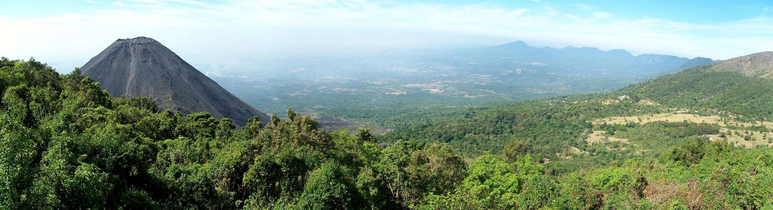
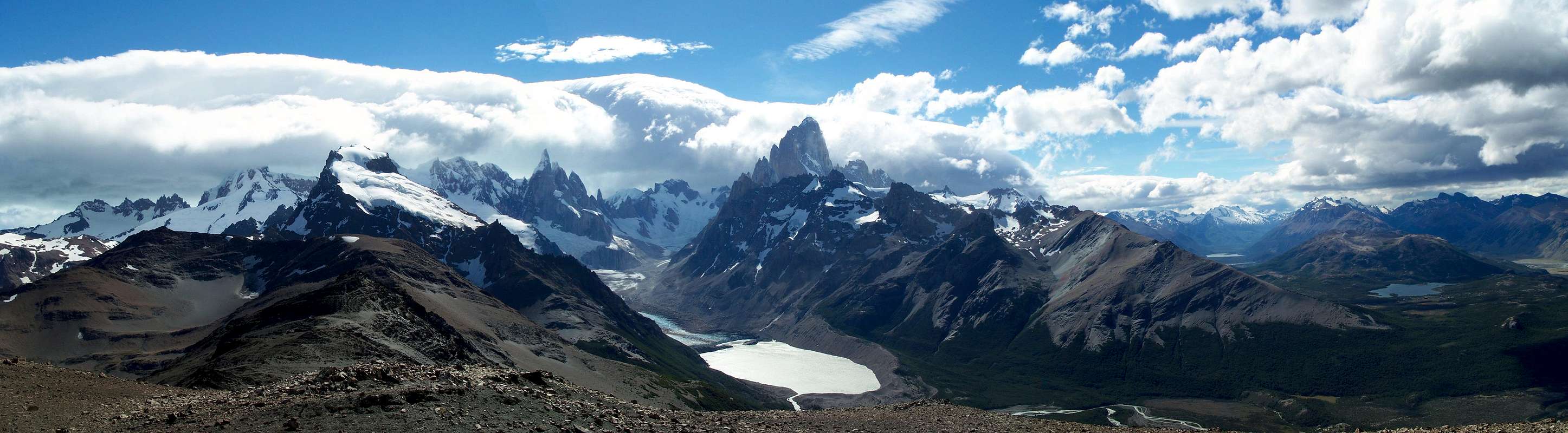
Tables of imagesSingle row of panoramic and regular:
Single row of embedded images:
Single row of thumbs with space for captions:
Single row of thumbs only:
Double row of thumbs in a mosaic format:
Double row of thumbs using a square format:
Double row of images with a border:
Double row of images with mix of sizes:
For multiple rows of borderless images:
General MapsIncrease the "z" value in both spots to zoom in (decrease altitude) on the topo, decrease to zoom out (increase altitude).
GPS Info Table and Map
Table of Contents'Custom colours and indents:Custom shape: Embedded videoWith a frame around it:IE friendly text with imageSometimes Firefox and Internet Explorer display things differently and you need to use brute force to get things to display evenly between the two. E.g. here is text on the left with an image on the right, first with div objects, then with a table. 
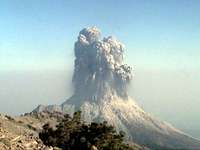
Experiments 1Animals taking in the view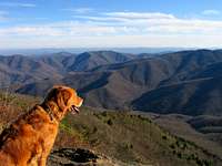  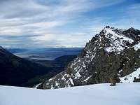 More
Stuff | ||||||||||||||||||||||||||||||||||||||||||||||||||||||||||||||||||||||||||||||||||||||||||||||||||||||||||||||||||||||||||||||||||||||||||||

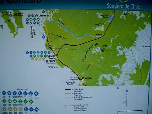
 Augustine map