
Comments
No comments posted yet.
|
|
Trip Report |
|---|---|
|
|
33.23684°N / 116.44069°W |
|
|
Nov 30, 0000 |
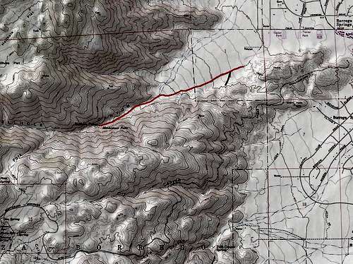
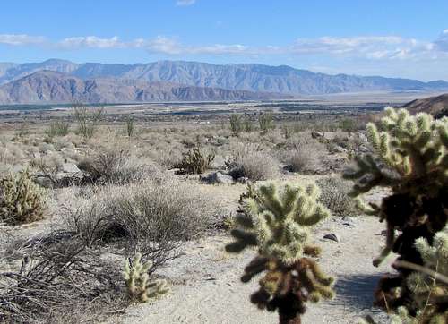
Hellhole Canyon sits to the west of Borrego Springs in southern California’s Anza-Borrego Desert State Park. A trail goes up the canyon to a grove of palm trees. Further bushwhacking can take you to a seasonal waterfall known as Maidenhair Falls. When I was in the area, I saw no sign of running water. You could potentially hike further up the canyon to Culp Valley or up the slopes of San Ysidro Mountain but my guidebook says beyond the falls, the bushwhacking becomes extreme.
From Christmas Circle in Borrego Springs, drive 1.5 miles west on Route S-22 to where the road makes a 90 degree turn to the left. Follow the road less than a mile until you see a dirt road and trailhead on the right just before S-22 begins to go up the mountains.
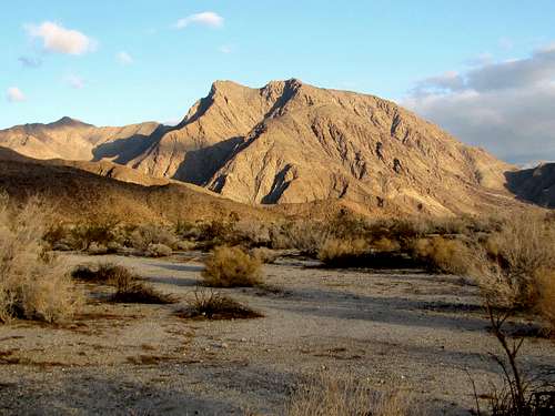
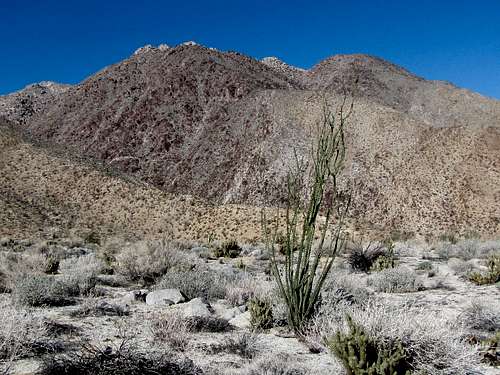
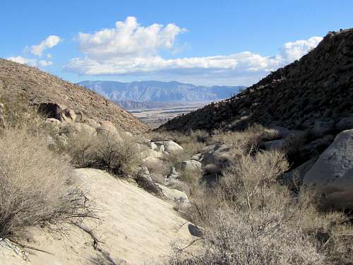
The trailhead is common to Hellhole Canyon and California Riding and Hiking Trail. Indianhead Peak is in good view.
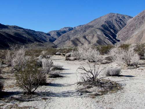
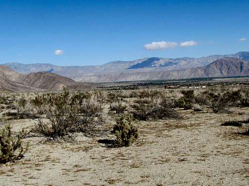
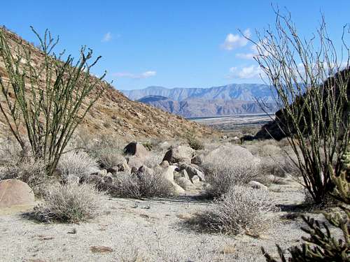
Looking up the canyon.
Follow the trail up toward the canyon. After 0.3 miles, California Riding and Hiking Trail splits to the left. Continue straight.
 |
 |
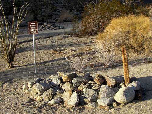
You will then see three piles of rock resembling graves with a sign saying “they didn’t bring enough water”.
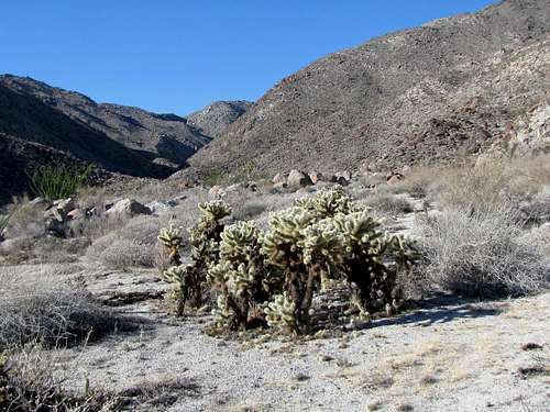
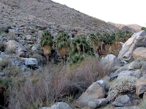
As you keep going, the canyon begins to form.
 |
 |
 |
 |
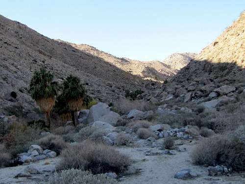
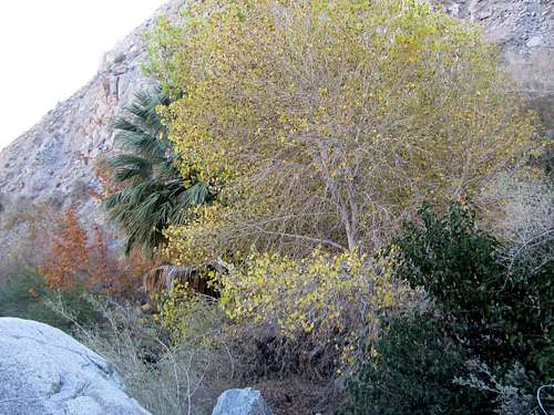
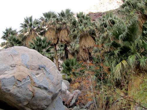
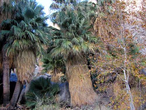
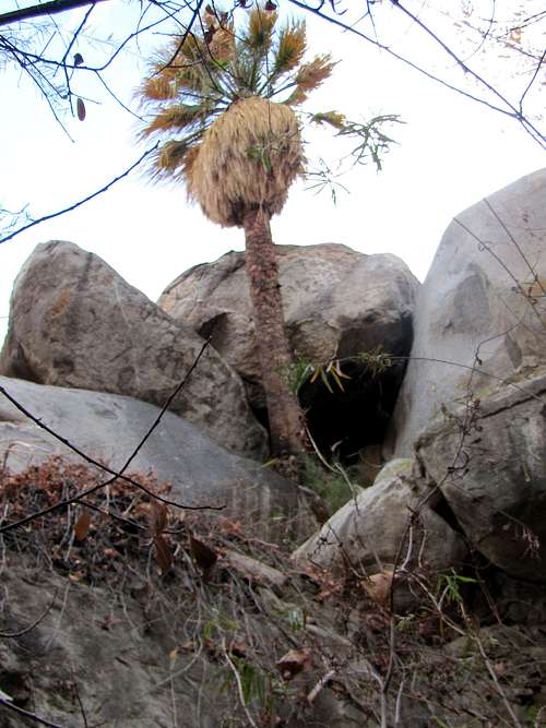
Palm trees appear.
 |
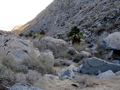 |
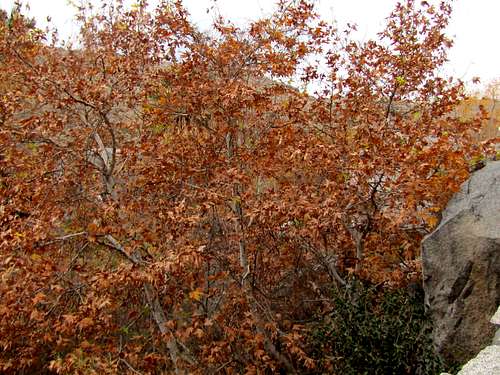
A few deciduous trees can also be seen.
 |
 |
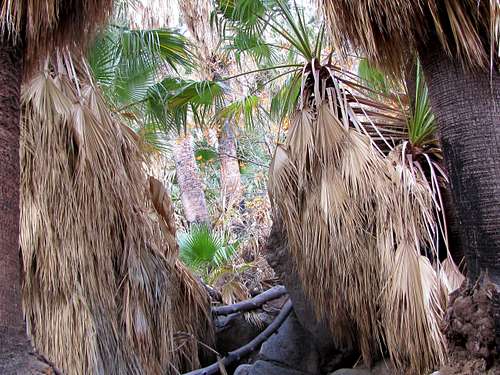
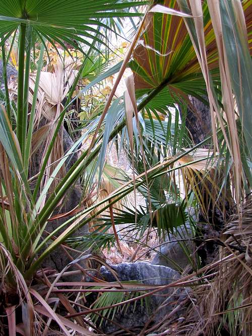
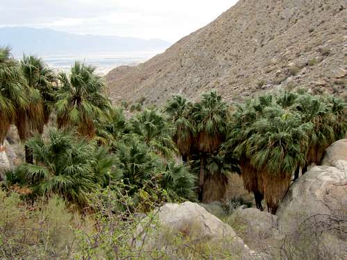
You will then reach a palm tree grove. The trail becomes much less defined beyond this point. Continuing will require some degree of bushwhacking.
 |
 |
 |
 |
 |
 |
When I was in the area, no water was present. I went beyond the GPS coordinates of Maidenhair Falls and obviously saw no waterfall. Ended my hike at the base of a cliff/boulders where moss covered some of the boulders and the soil was moist. This might have actually been Maidenhair Falls.
 |
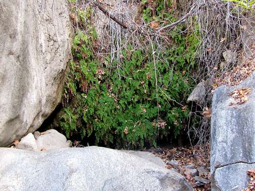 Moss Moss |
Winter, late autumn or early spring. Summer can be dangerously hot.
Guidebook: The Anza-Borrego Desert Region by Lowell & Diana Lindsay.
http://www.hikespeak.com/trails/hellhole-canyon-trail-maidenhair-falls-anza-borrego-desert/.