
Comments
No comments posted yet.
|
|
Trip Report |
|---|---|
|
|
45.61738°N / 116.46293°W |
|
|
Download GPX » View Route on Map |
|
|
Jul 5, 2021 |
|
|
Hiking |
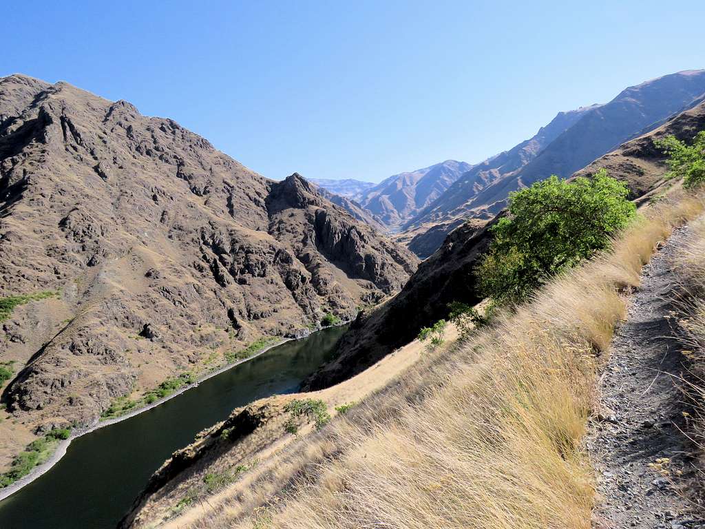
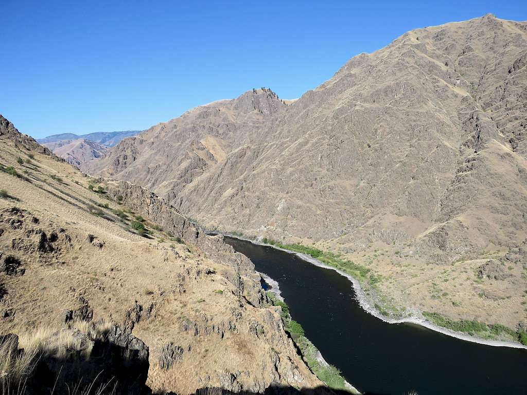
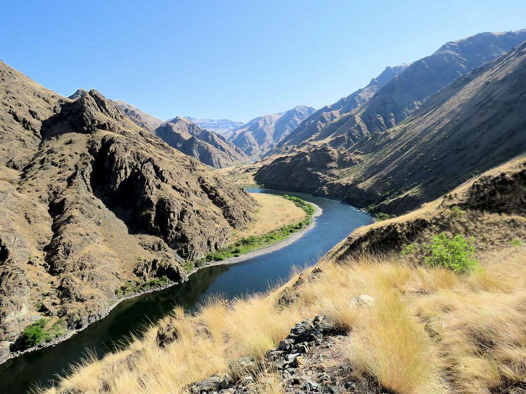
Hells Canyon forms part of the border between Idaho and Oregon. It is carved by Snake River and is said to be the deepest canyon in North America. One of few places where one could drive to the bottom of the canyon is at Pittsburg Landing, a relatively open area that houses a small plain on the Idaho side of the river. From Pittsburg Landing, a trail can be followed south at or near the bottom of the canyon. Multi-day backpackers can hike the trail to various destinations. A good day hike, however, would be to go from Pittsburg Landing to a place called Kirkwood Ranch where an old ranch has been turned into a museum (10.2 miles roundtrip). Although the trail parallels the river, it does a lot of ups and downs going as much as 465 feet above the surface of the river. My GPS measured a total ascent of 2050 feet.
I did my hike on an early July day when the high temperature reached 105 degrees F (not unusual for the area). I do not recall having seen any easy access to Snake River. Spring and fall may be better times to do this hike.
Hike Length: 10.2 miles
Total Ascent: 2050 feet
Elevation at Upper Pittsburg Landing Trailhead: 1180 feet
Elevation at Kirkwood Ranch: 1200 feet
Left the vacation rental house one mile north of Riggins, Idaho at 5:10 AM (Sunrise around 6:05 AM) and drove 25 miles north on Route 95. The road followed Salmon River at the bottom of its scenic canyon. I actually crossed into Pacific Time Zone gaining one hour but continued to measure everything in Mountain Time Zone.
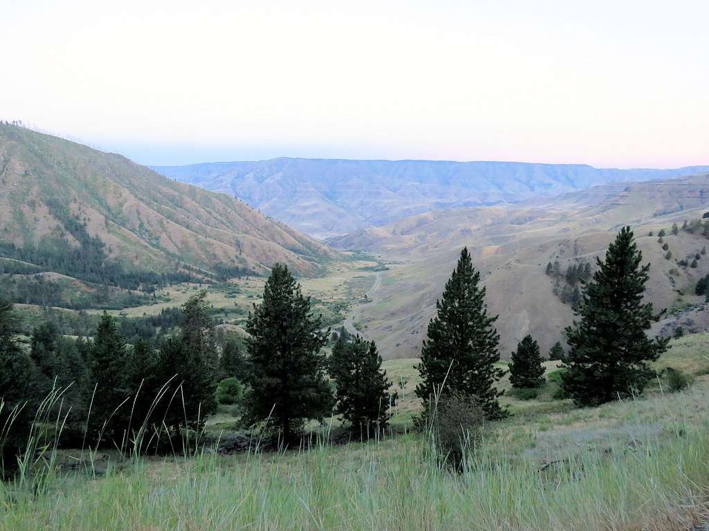
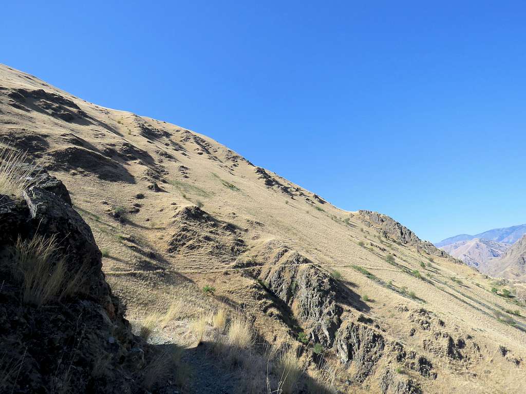
Near the community of White Bird, at mile marker 222, went onto Old Highway 95 and crossed Salmon River over a one lane bridge then got on County Road 493. Pavement soon ended but the road had a smooth surface winding a lot going up the hills first among ranches and then a forest of tall pine trees. In only 10 miles, the road went from an elevation of 1450 ft to the 4300 ft Pittsburg Saddle. West of the saddle, at a clearing in the forest, stopped to take a picture of the steep drop into the drainage of Hells Canyon.
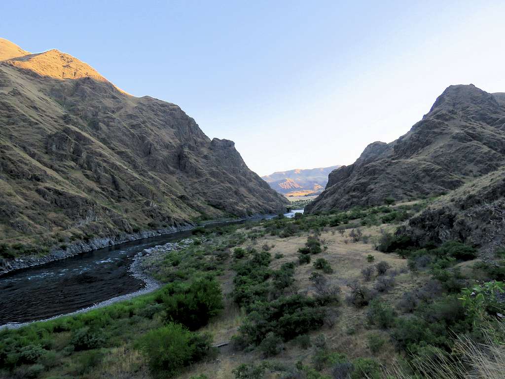
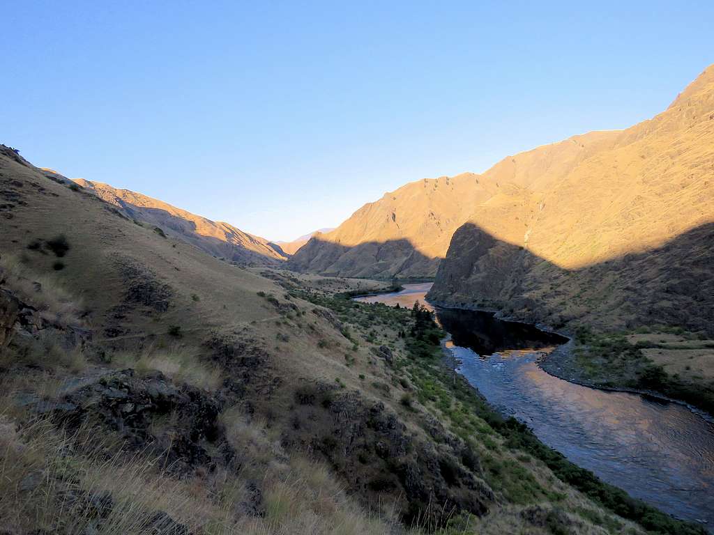
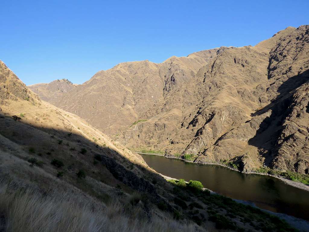
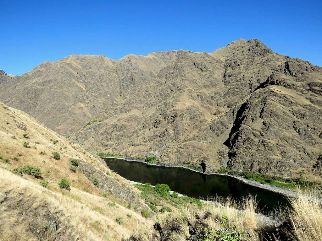
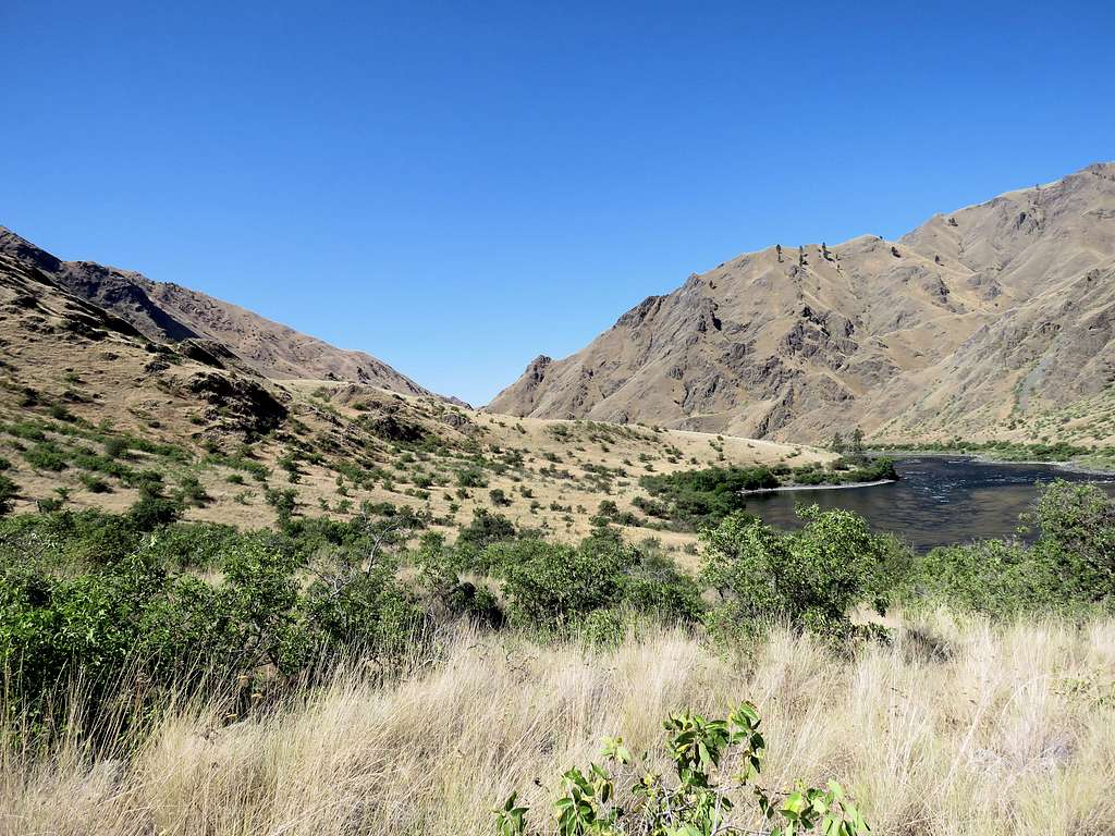
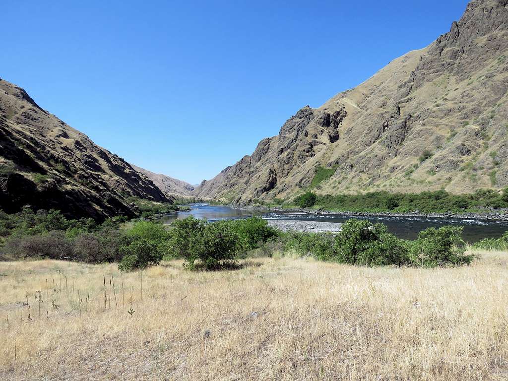
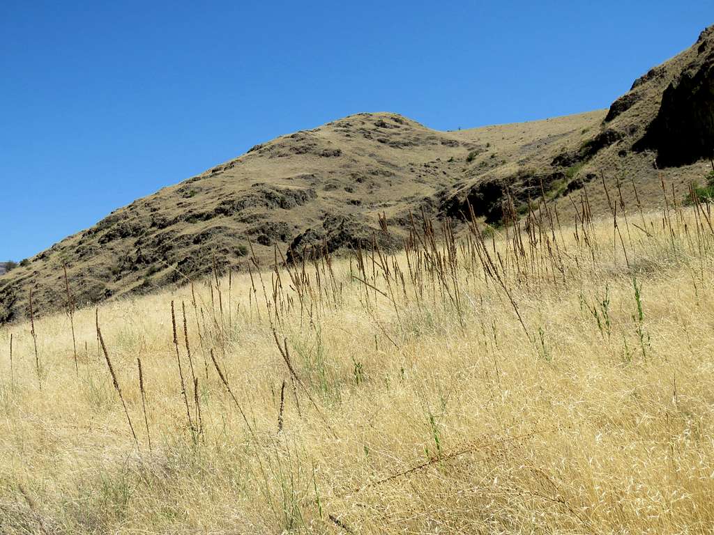
Near Snake River at the bottom of Hells Canyon, a small plain covered by dead/yellow grass appeared.
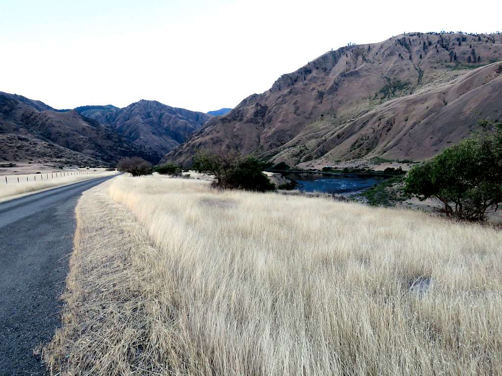
Turned south and went on a side road all the way to the end of it at Upper Pittsburg Landing Trailhead (18.5 miles from Route 95). No one was there but on a small sandy beach on the Oregon side of the river there was a boat and a couple of tents (I did not see any hikers all day but at Kirkwood Ranch, did see a number of boaters).
It was 68 degrees F and high temperature was supposed to reach 105 degrees. In my backpack, I had 4 liters of water plus two soaking wet cooling towels in Ziploc bags all of which I had kept in the refrigerator the previous night. I felt in a rush to reach Kirkwood Ranch and then back before it became too hot. I had figured that hiking on the east side of the canyon would keep me in the shade until close to noon.
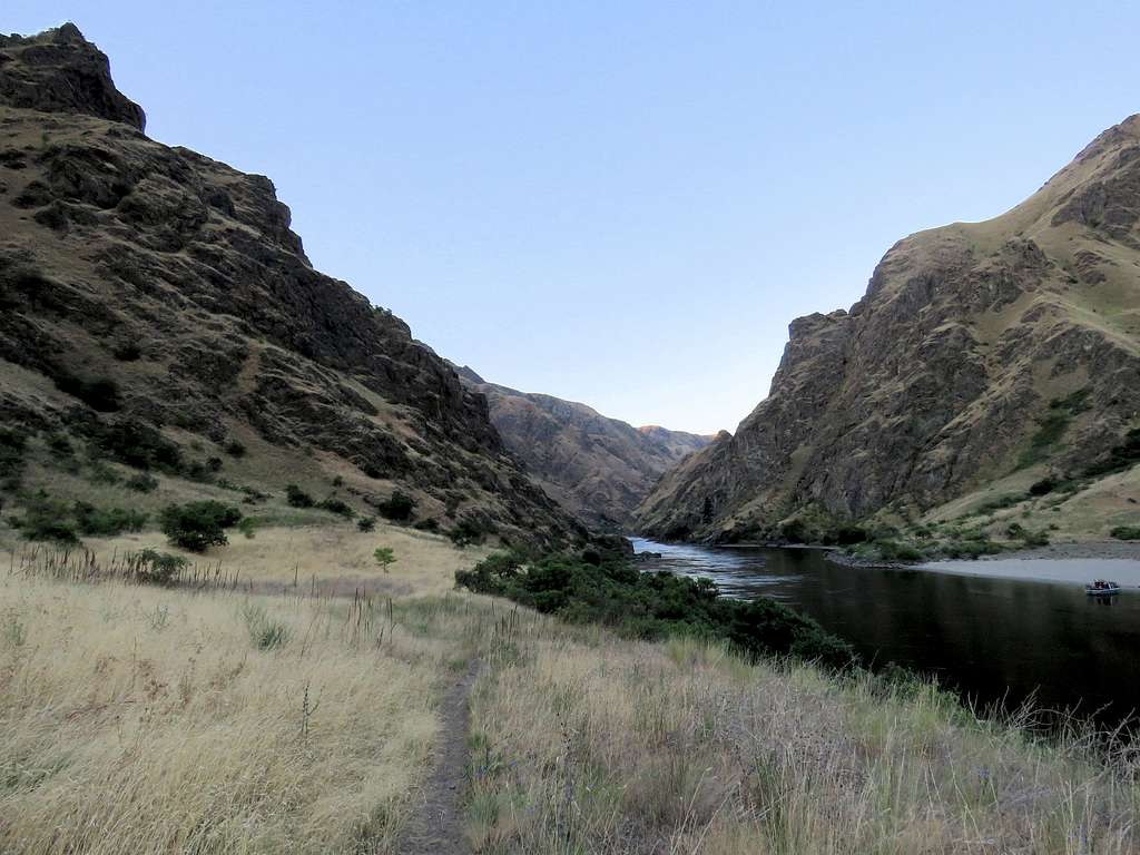
Started my hike at 6:35 AM. The trail headed south on the grassy plain toward a canyon with rocky walls.
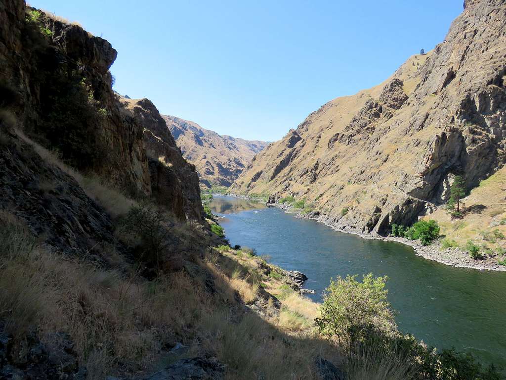
Soon was in the canyon following the trail traversing the rocky walls at some elevation above Snake River.
A small plain appeared at the junction of Corral Creek (which was dry). I could see the sun shining on the upper slopes of the western wall making me speed up my hike. While going (and not coming back), I frequently felt invisibly thin spider webs on my face, guess I cleared them all while going.
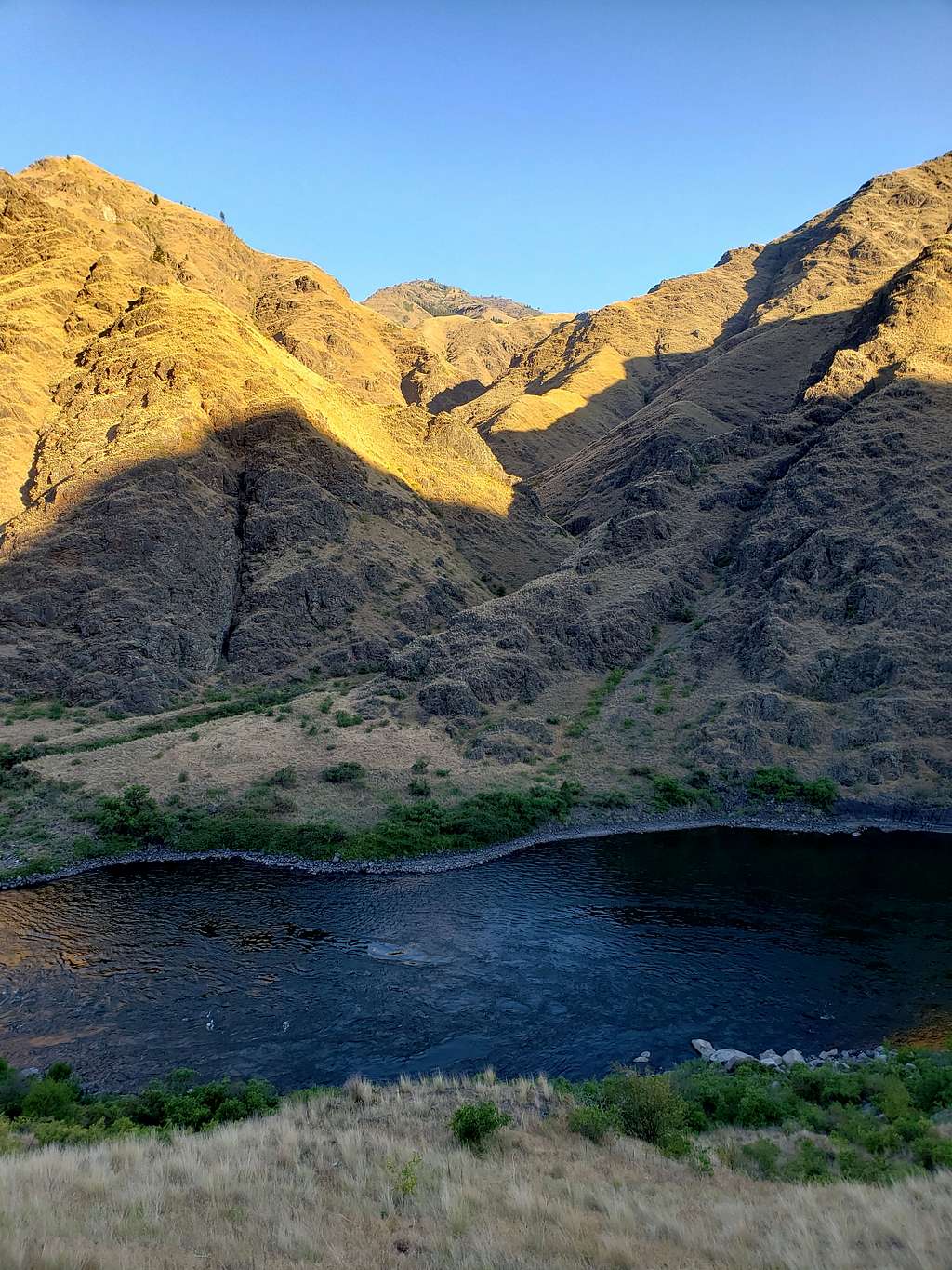
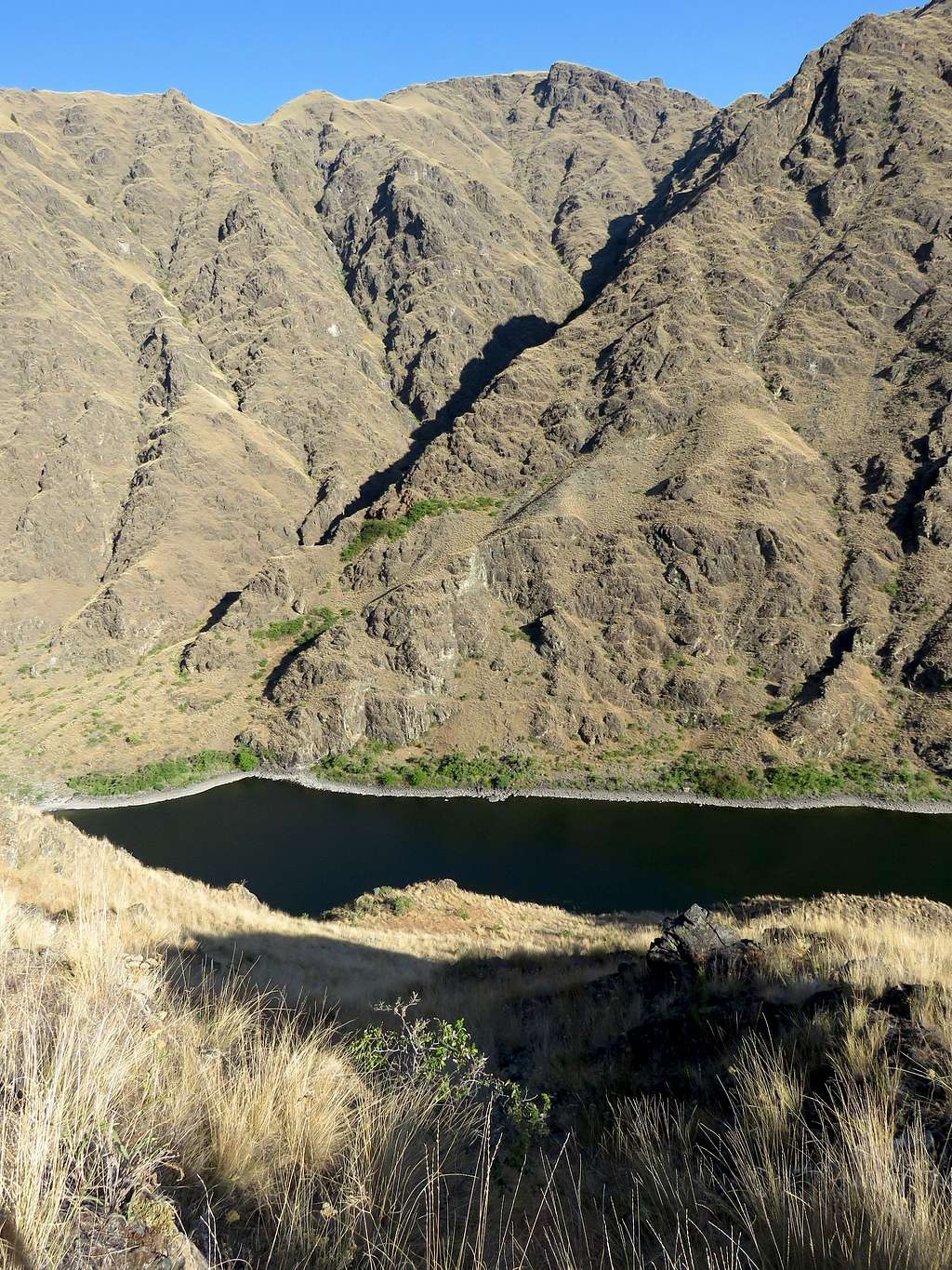
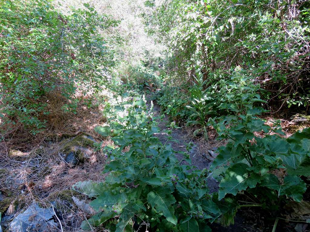
The trail soon went into a dry creek bed in a bushy area and went up 100 vertical feet then continued to traverse the eastern walls of the canyon over a rather narrow ledge-like area more than 200 feet above Snake River.
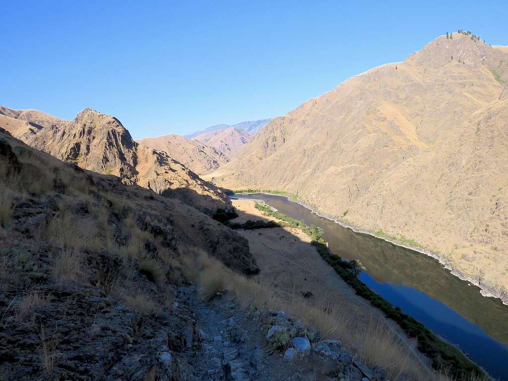
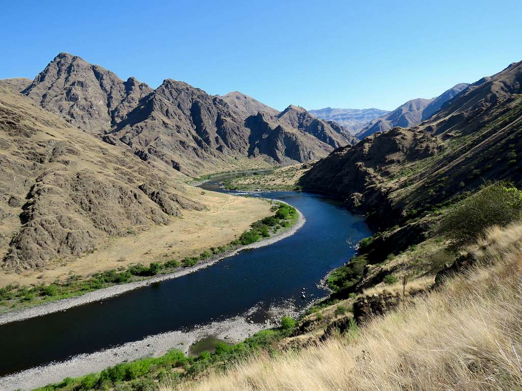
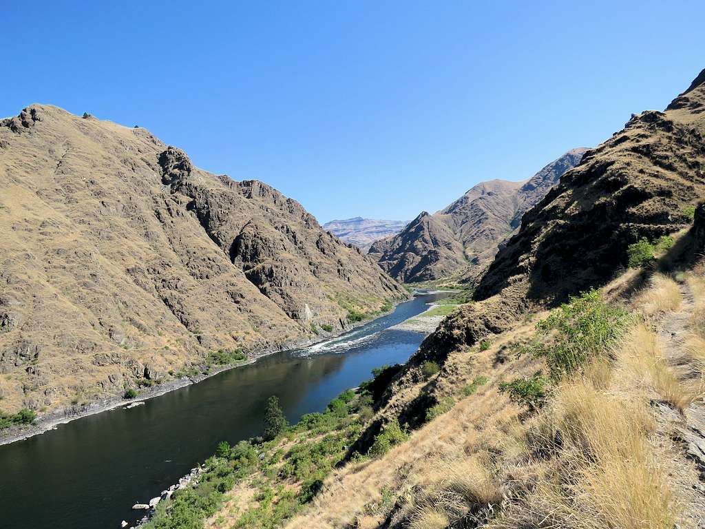
Going down toward a plain near Cat Gulch.
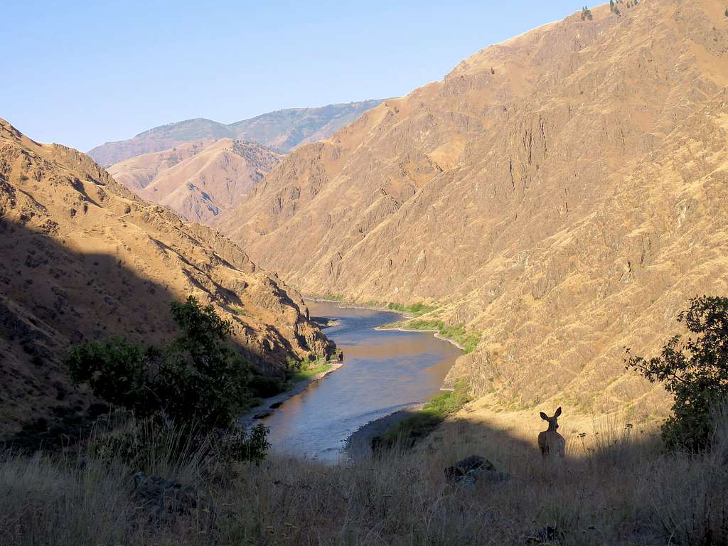
The trail went far from Snake River and after 3.25 miles, it crossed Kirby Creek which had a trickle of water in it. It then began to go uphill again. I could then see the sun shining on the eastern slopes of the canyon where I would eventually have to hike (canyon had turned northeast-southwest). A deer by the trail.
Looking back (north).
Entering the sunny slopes, I began to hike fast wanting to reach Kirkwood Ranch as soon as possible.
After a turn, I went into the shade and could finally see Kirkwood Ranch but I was close to 400 vertical feet above it. I had started to feel very hot, did not know if some of it was psychological but it did not matter. I needed to get down there and then back up again before the sun rose over that slope.
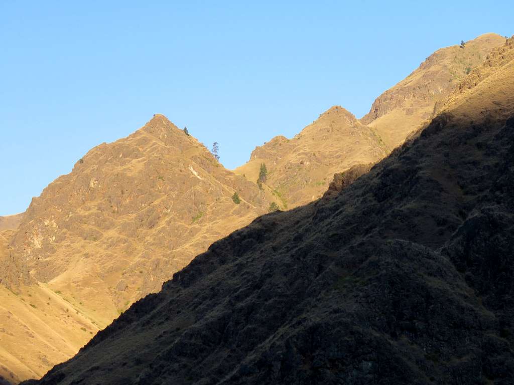
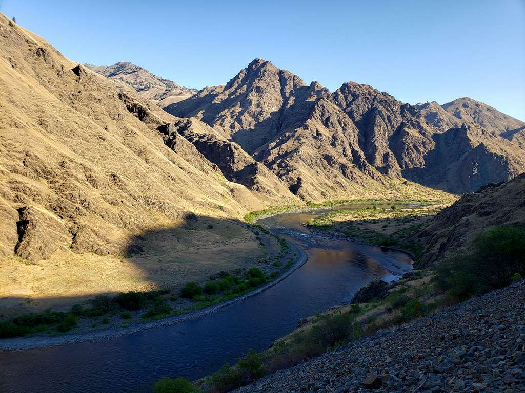
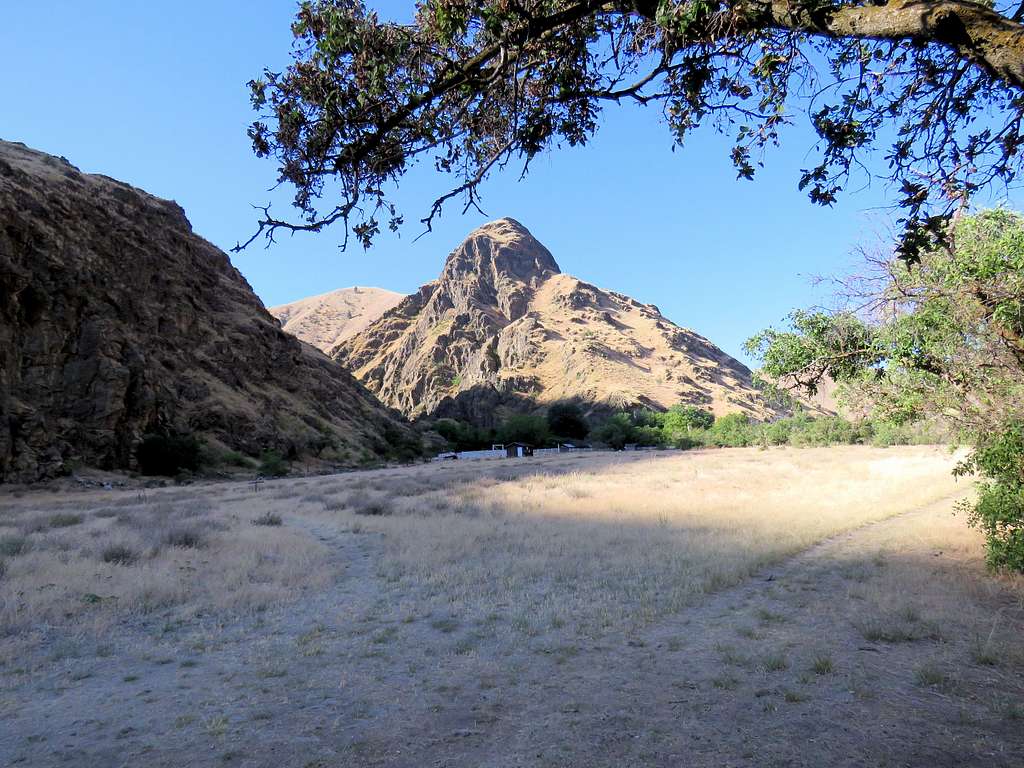
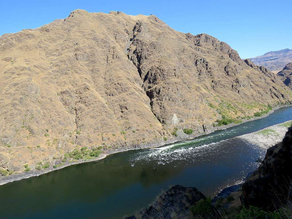
The 2124 ft horn rising above Kirkwood Ranch seen on the left and Point 3077 ft on the right.
Very quickly went down the switchbacks to reach the plain where Kirkwood Ranch was located. I could see a group of boaters having set up a tent to have their breakfast to the distant north. I found a bench in the shade and sat there to eat and drink. It was 9:00 AM and I had hiked 5.15 miles. Was hoping to get myself soaked in the river but an extremely dense growth of bushes down a nasty steep slope prevented easy access to the river and I did not want to hike all the way north to where the boaters were.
Gulped down a liter of cold water and ate my sandwich fast. The ranch was supposedly a museum but I had no time to go there and wanted to make it back up the 400 ft climb before the sun was over it. I could see the sun creeping toward my bench. Put one of the cold wet towels on my head under my hat shoving its ends into my shirt and left the bench at 9:15 when the sun had already begun to shine on it. Fortunately, the uphill slope remained in the shade while I hiked back up it. Just before entering the sunny slopes, I stopped to put on Sunscreen lotion.
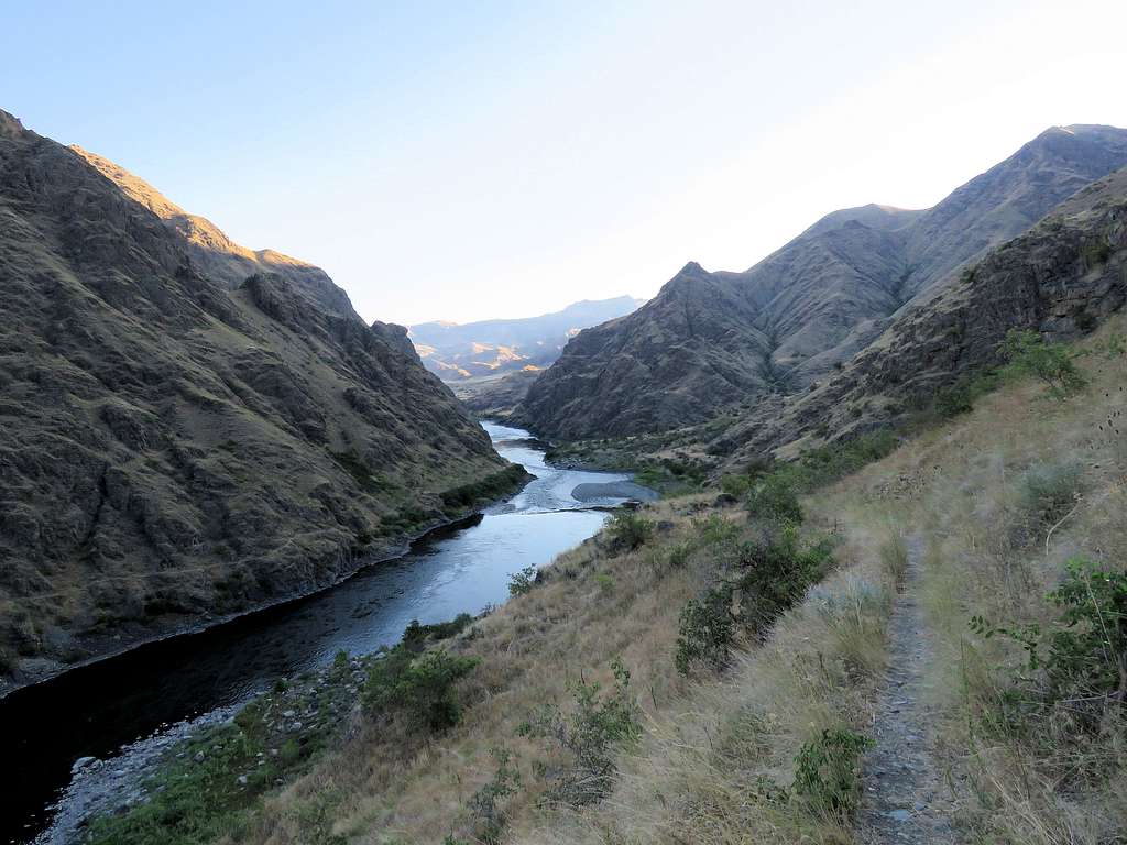
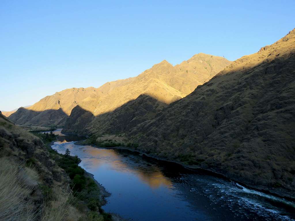
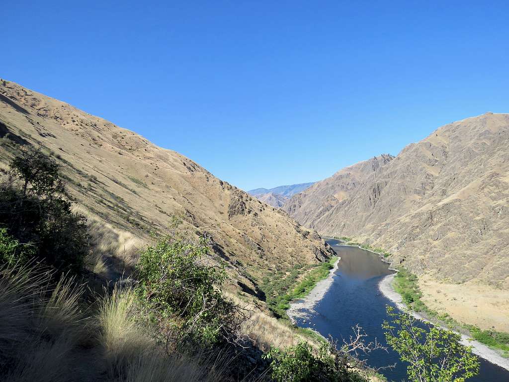
Views from the trail.
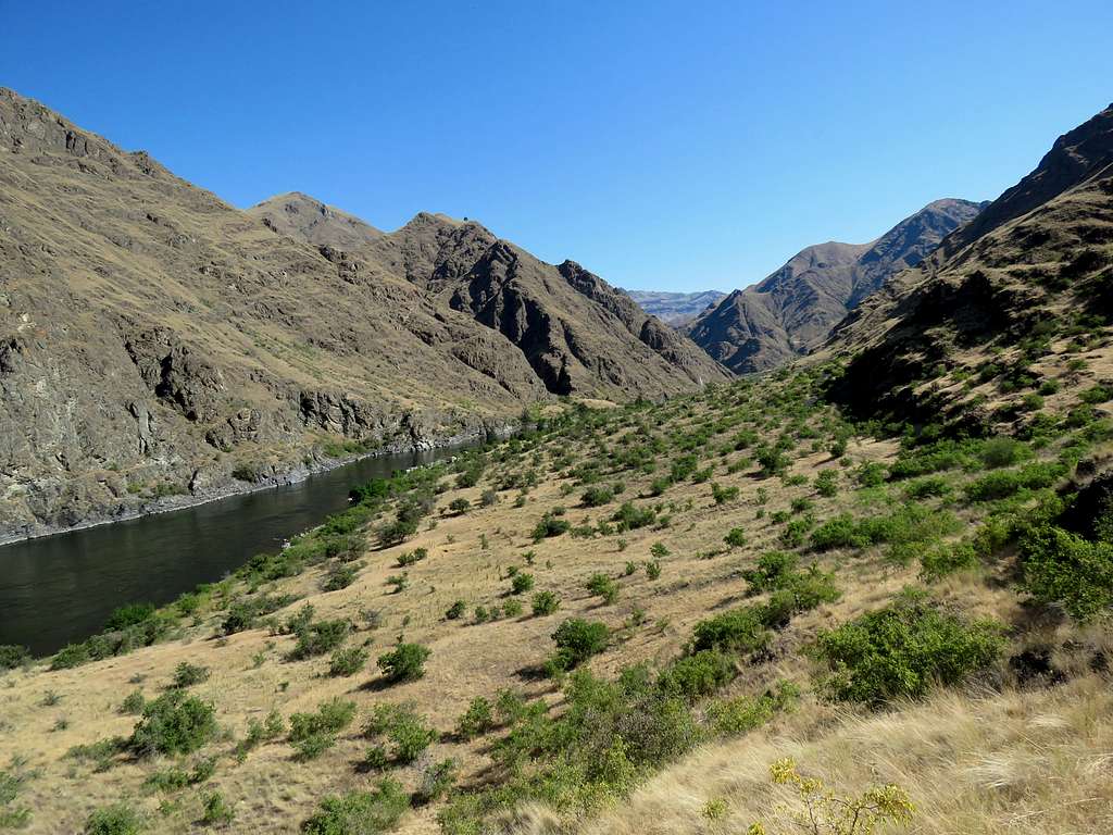
The plain near Cat Gulch.
I stopped there and put the first towel under my shirt over my shoulders and chest and took out the second wet towel to put on my head. I believe the towels did a great job of cooling me down.
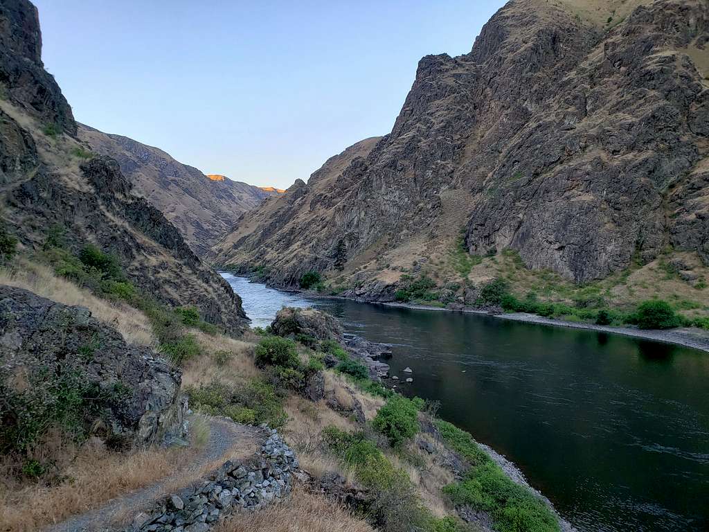
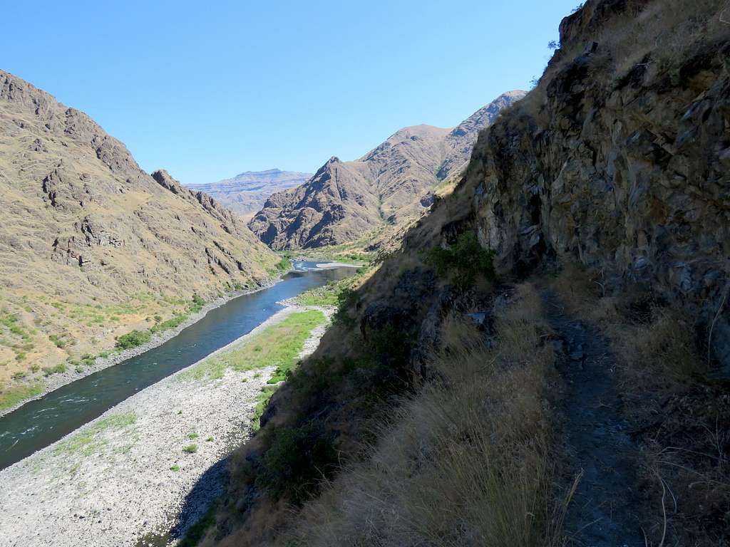
Going up to the ledge-like area. The big gravel bar in the river seen.
Down the dry creek bed in the bushy area.
Plain at Corral Creek.
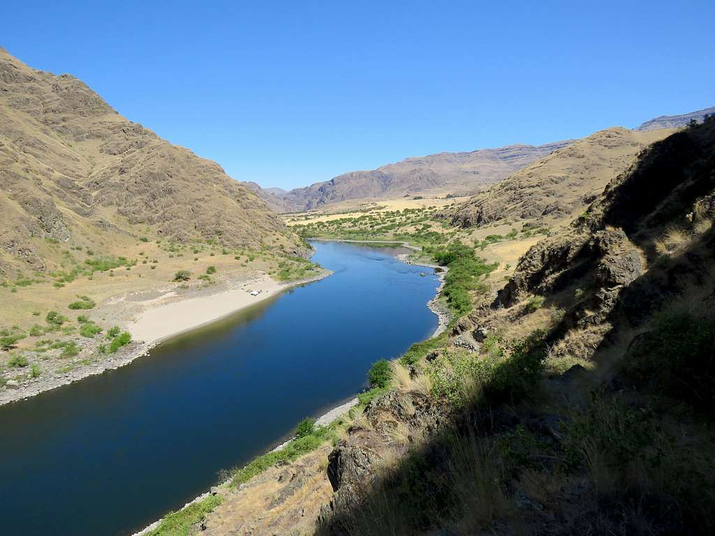
Near Trailhead. Beach on Oregon side seen.
Reached the Jeep at 11:43 AM. Having sat under the sun in the parking area, the Jeep’s thermometer showed 106 degree F. As I drove away, it dropped into the upper 90s. At Pittsburg Saddle, it was in the low 80s and at the home, 97 degrees F later going to low 100s.