
Viewing: 1-2 of 2

visentin - Dec 12, 2008 9:28 am - Voted 10/10
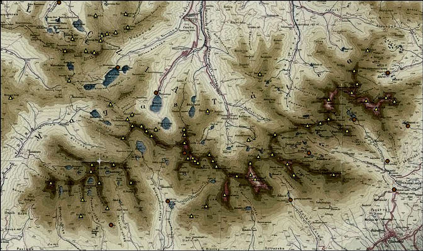
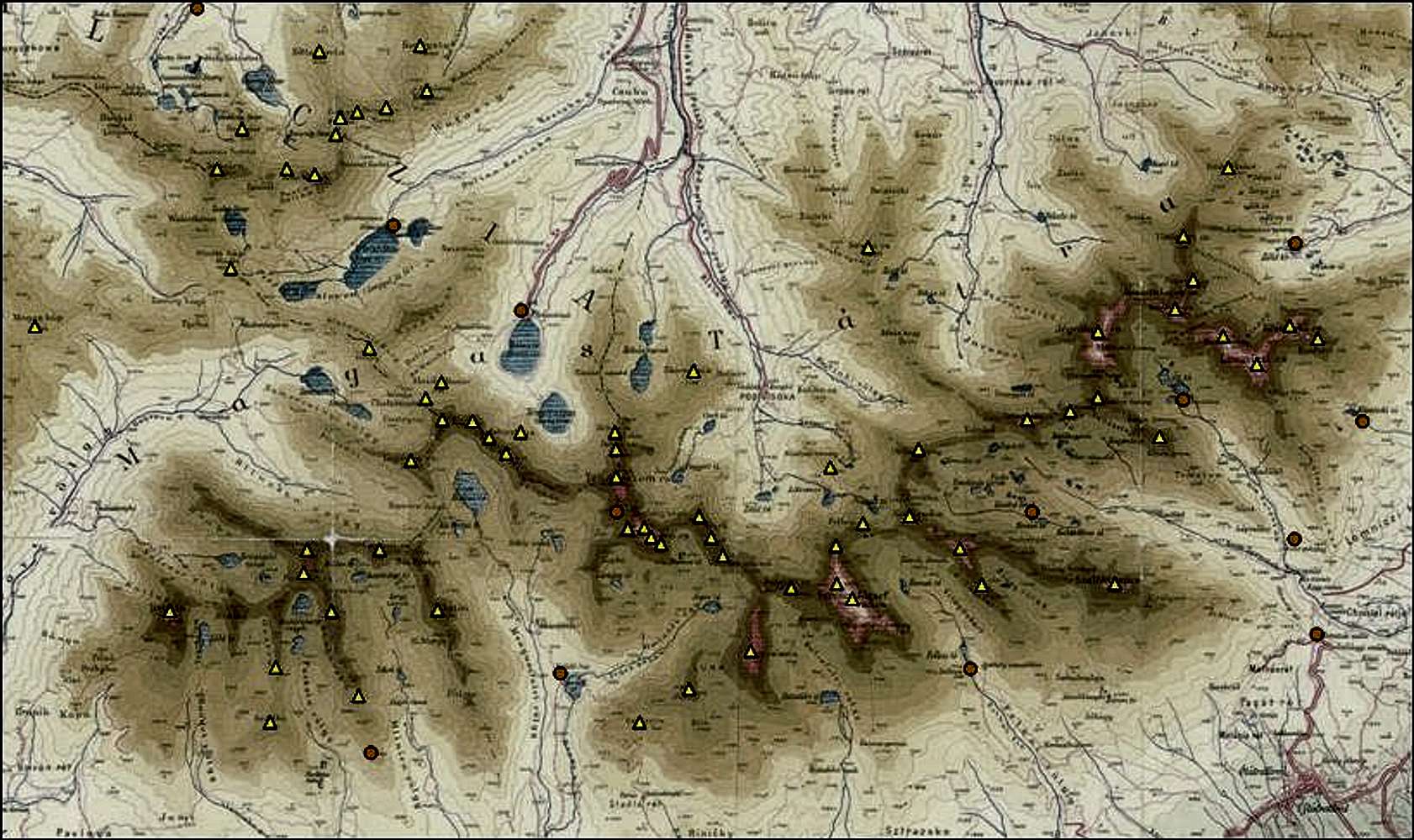
I'd like..to have the same for the Western Tatras. How did you make it, and the html code to put points ?

peterbud - Dec 12, 2008 10:57 am - Hasn't voted
Re: I'd like..I can provide you materia on that, contact me on Skype next week. Peter
Viewing: 1-2 of 2


Comments
Post a Comment