
|
|
Hut/Campground |
|---|---|
|
|
42.74080°N / 0.02816°W |
|
|
4905 ft / 1495 m |
Location of Refuge
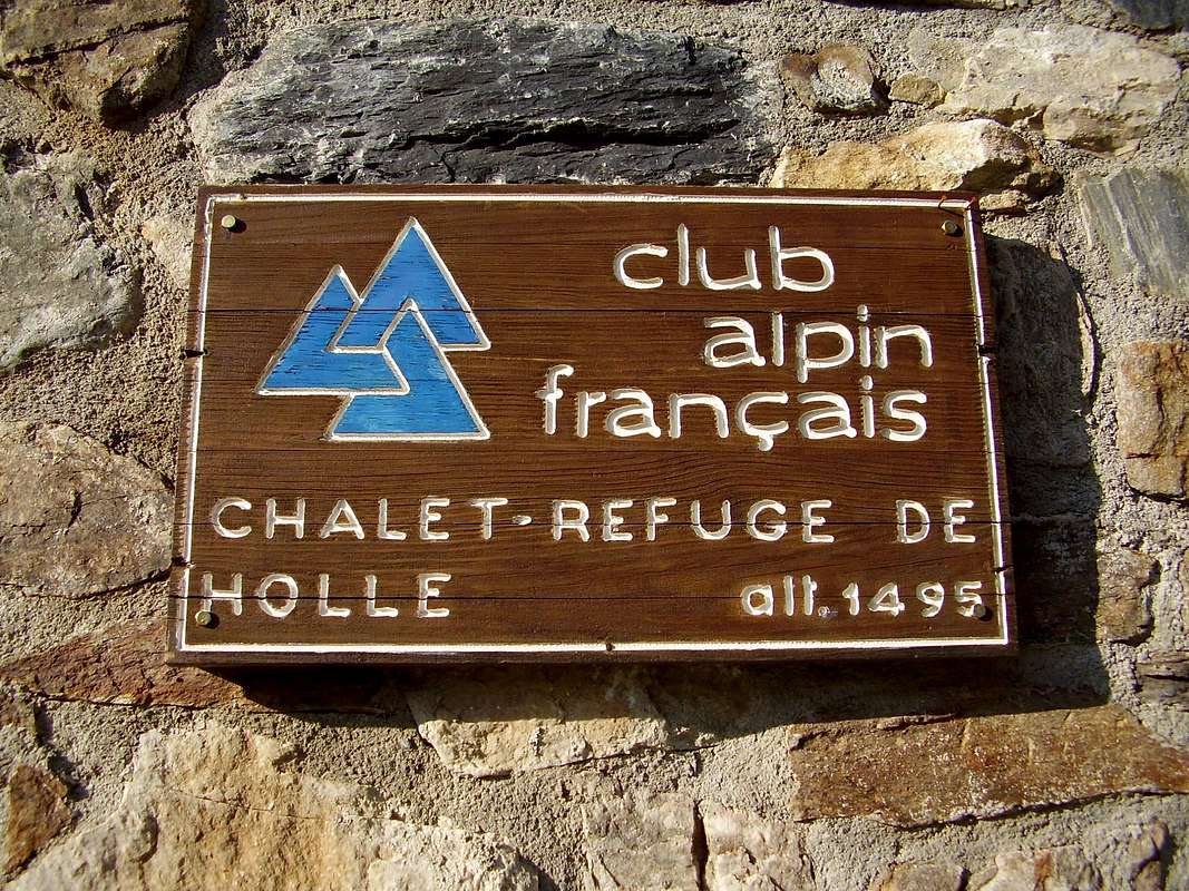
Refuge La Grange de Holle is located 2km above the village of Gavarnie in the French province of Hautes Pyrenées. The town itself being at an altitude of 1,375 metres and situated within the Parc Naturel des Pyrenées to the south of Lourdes.
The refuge is owned and managed by the Club Alpin Francais (CAF) and has places for 50 people including rooms with 1 to 12 beds, services offered include overnight stays, breakfasts and half board.
Getting there
Access from the French side of the border by road is from the East-West autoroute E80 (Bayonne to Toulouse) and the National road N21 via Lourdes and the D821 / D920 to Cauterets or the D921 to Gavarnie. There are airports at Pau and Toulouse.
On the Spanish side, travel by road from Pamplona to the west of the region via the N240 / N330 and the N260 to Torla then via a short local road to Bujaruelo or from Zaragoza south of the region via the N330 to Huesca and then the N260 to Torla. Airports at Pamplona and Zaragoza serve the area.
From Bujaruelo, a day's hike over the pass (932 metre climb) at Puerto de Bujaruelo will lead down to the Col du Tents where the road continues on to Gavarnie.
For those who aspire to travel with a very low carbon footprint, there are two long distance paths that pass close to Gavarnie, GR10 in France and GR 11 in Spain.
Things to do
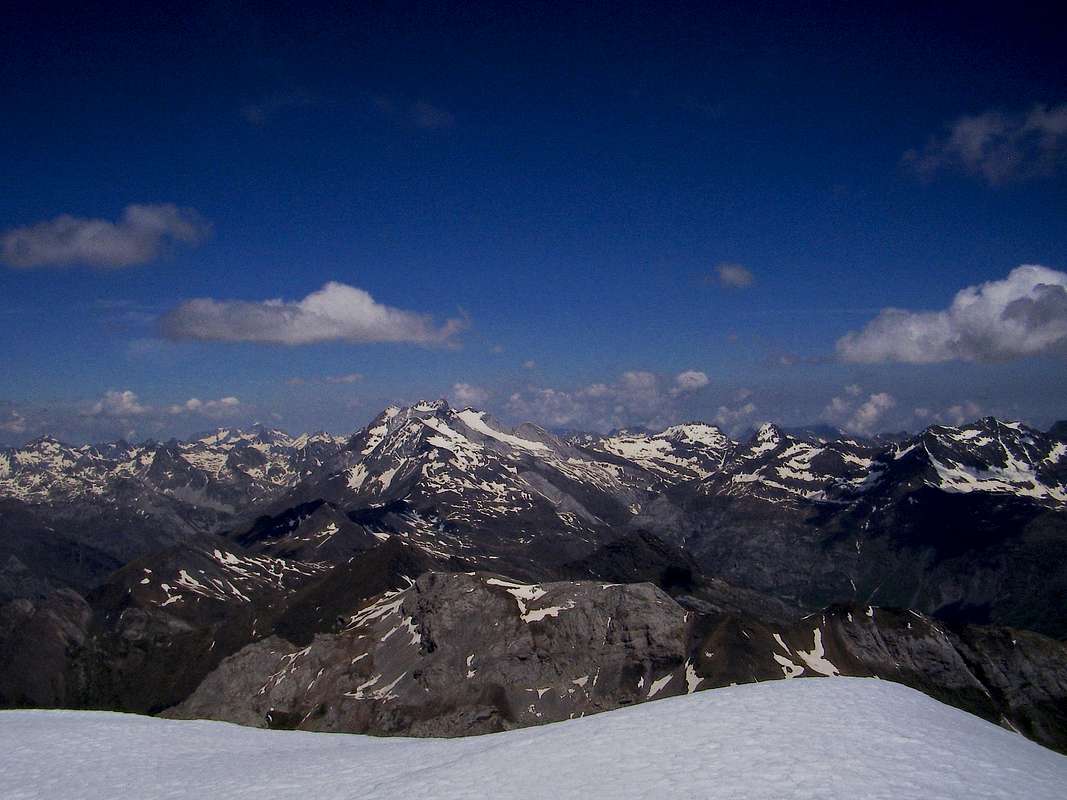
Vignemale from El Taillon
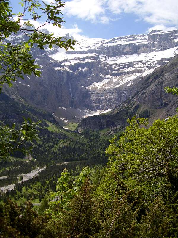
The Cirque de Gavarnie
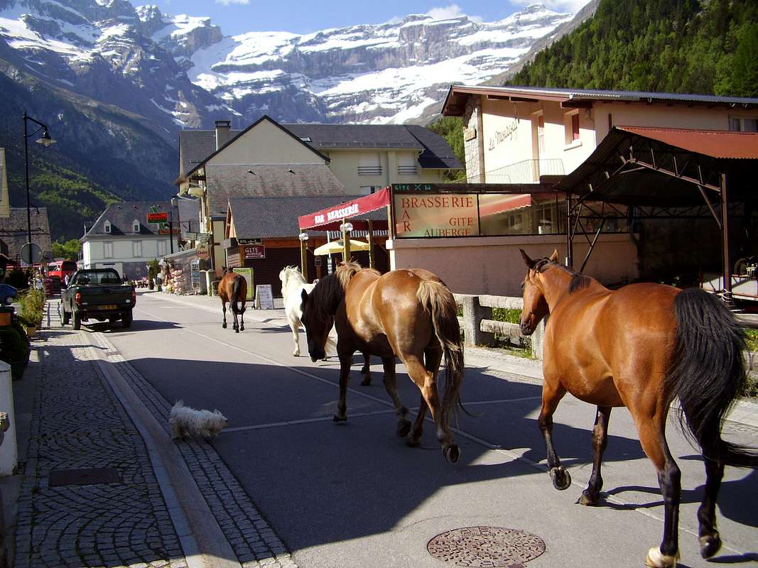
Horses on Holiday
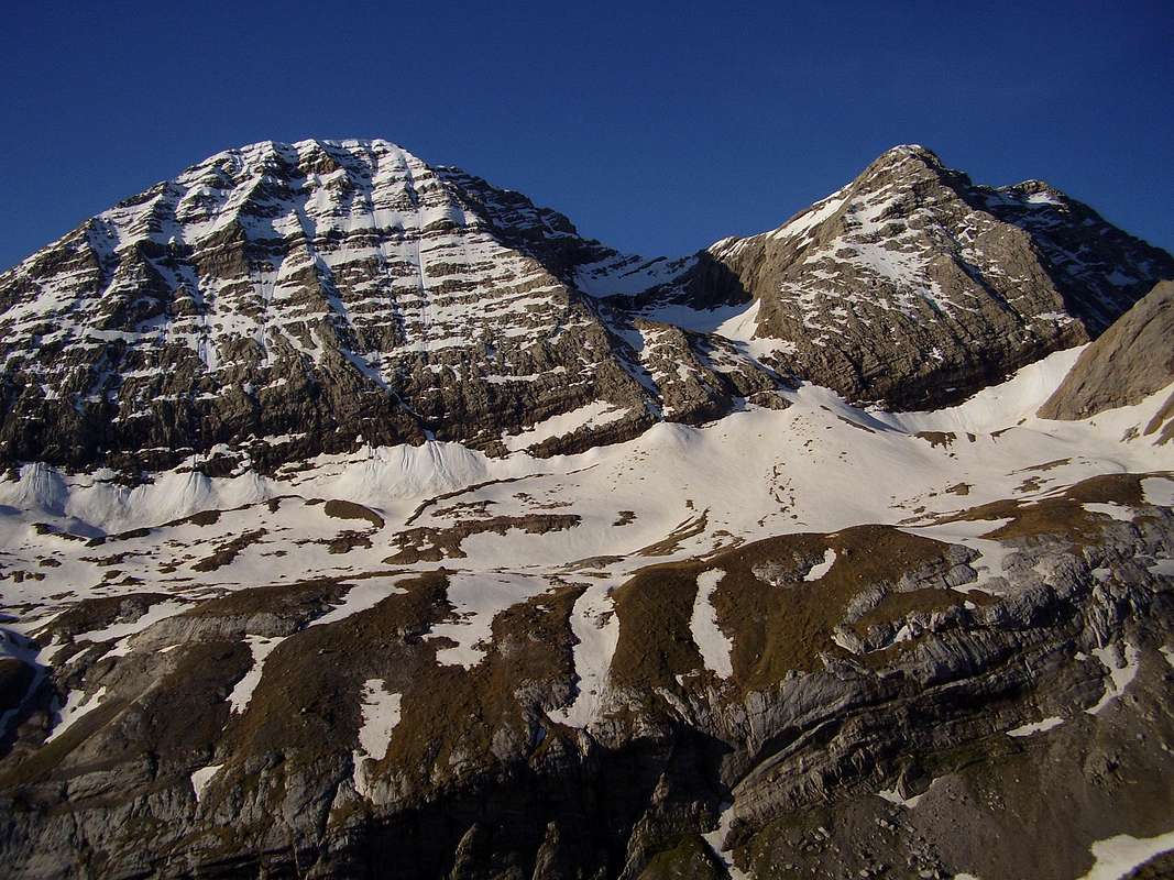
El Taillon & Gabieto
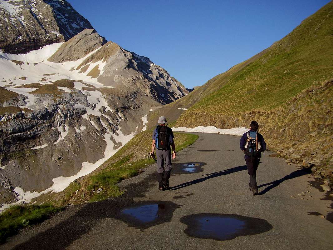
The trail from Col du Tents to the Frontier
The Holle refuge is ideally placed to do the ascent of Vignemale, the highest peak in the French Pyrenees. It is not really feasible to do this in a day's outing, better to ascend from the Holle refuge to the Baysellance refuge, stop overnight there and ascend Vignemale in early morning.
Another "not to be missed" outing is to walk up from Garvarnie to the head of the valley and witness the Cirque de Gavarnie a unique site of geological and natural interest. In summer, horses can be hired to do the trip without expending too much breath.
Also, a walk or a drive up from the Holle refuge to the Col du Tents provides a grand view of El Taillon and the twin peaks of Gabieto. Traversing eastwards below these mountains allows access to the Sarradettes Refuge below the impressive Breche du Roland and through it the Parque Nacional de Ordesa. Moving east from the roadhead below Gabieto is the Franco/Spanish frontier and from it a trail that leads down to Bujaruelo.
The long distance trails GR 10 & HRP (Haute Route Pyrénéenne) pass very close to the Holle refuge and lead away in north, south, east and western directions.
Contacts for the refuge
Telephone: +33(0)5 62 92 48 77Fax: +33(0)5 62 92 41 58
Web: grangedeholle.free.fr
Email: Joseph.thirant@wanado.fr
schmid_th - Apr 11, 2008 6:27 am - Hasn't voted
Additions...Thanks for adding this page. But could you add some more information, f.e. how to get there, route possibilities, what´s around the hut... To my mind there are less informations... Would be glad if you could add some more. Thanks for your help! Cheers Thomas
DrJonnie - Apr 11, 2008 6:49 am - Hasn't voted
Re: Additions...Hi Thomas, Thanks for your comments, I will have a look at the page and see if I can add stuf to improve it. I have tried to avoid putting in lists of routes as it may duplicate what already exists elsewhere in SP or in published guidebooks. Maybe I can improve the links to other pages. cheers Johnnie
DrJonnie - Apr 11, 2008 7:10 am - Hasn't voted
Re: Additions...Hi again, I've added some directions and also linked to existing area/routes pages. Is it OK for you now? cheers Johnnie
schmid_th - Apr 11, 2008 7:22 am - Hasn't voted
Re: Additions...The dircetions are very good, thanks for adding. If you could list the routes also... It doesn´t matter if they are listed somewhere else at SP as you want to know the route possibilities when you have a look at the hut´s page. Pleae link it or list it. Then it would be almost complete and really good! Thanks for your efforts. Cheers Thomas
DrJonnie - Apr 11, 2008 9:11 am - Hasn't voted
AdditionsOK Thomas I will have a look at what I can add. cheers Johnnie