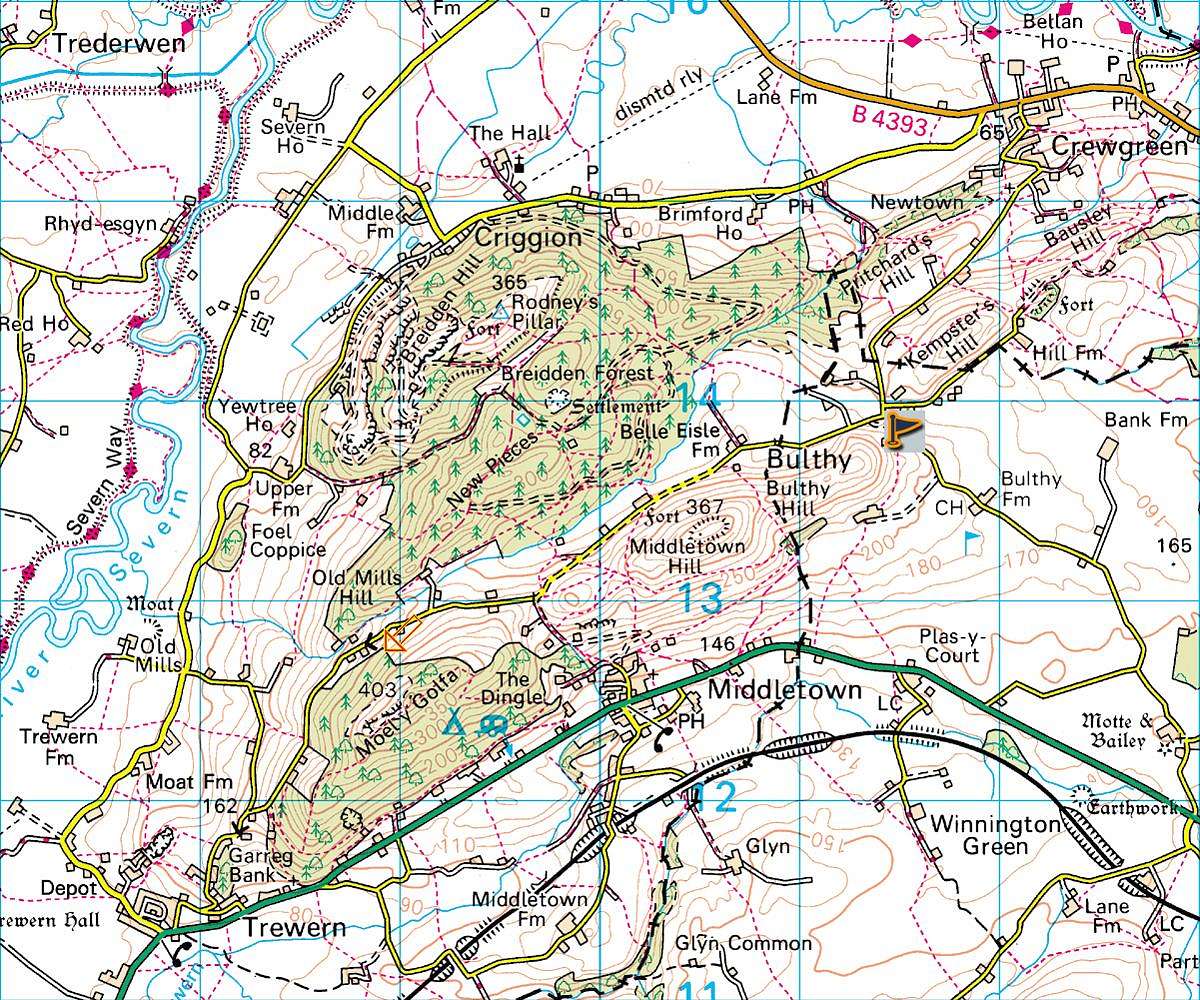
This is a section from Ordnance Survey map.
Ordnance Survey 1:50 000 map Landranger Series sheet 126.
Shrewsbury & Oswestry.
This covers the towns of Shrewsbury, Oswestry and Welshpool with the Breidden Hills luckily at the centre of the map.
Map is copyright and property of Ordnance Survey:


